Lady Charlotte's Plantation
Wood, Forest in Northumberland
England
Lady Charlotte's Plantation
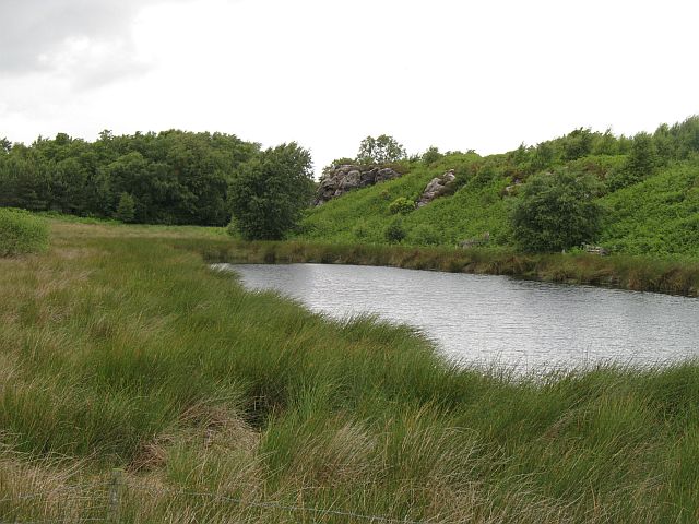
Lady Charlotte's Plantation is a sprawling woodland located in the scenic county of Northumberland, England. Covering an extensive area, the plantation is nestled within the heart of the Northumberland National Park, offering visitors a tranquil and picturesque retreat.
The plantation boasts a diverse range of tree species, including oak, beech, and birch, which create a rich tapestry of colors throughout the year. The woodland is carefully managed to maintain its natural beauty, with regular tree maintenance and conservation efforts in place.
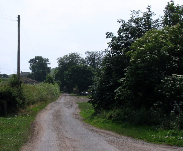
Visitors to Lady Charlotte's Plantation can explore the numerous well-marked walking trails that crisscross the woodland, allowing them to immerse themselves in its enchanting atmosphere. The trails cater to all levels of fitness, from leisurely strolls to more challenging hikes, ensuring there is something for everyone to enjoy.
Wildlife enthusiasts will be delighted by the abundance of fauna that calls the plantation home. The woodland is teeming with a variety of bird species, such as woodpeckers, owls, and songbirds, providing ample opportunities for birdwatching. Squirrels, rabbits, and deer can also be spotted amidst the trees, adding to the charm of the plantation.
Lady Charlotte's Plantation offers a range of facilities for visitors, including picnic areas and benches strategically placed to provide breathtaking views of the surrounding landscape. The plantation is easily accessible, with ample parking available for those arriving by car.
In summary, Lady Charlotte's Plantation is a captivating woodland retreat, offering visitors a chance to escape the hustle and bustle of everyday life and immerse themselves in the natural beauty of Northumberland.
If you have any feedback on the listing, please let us know in the comments section below.
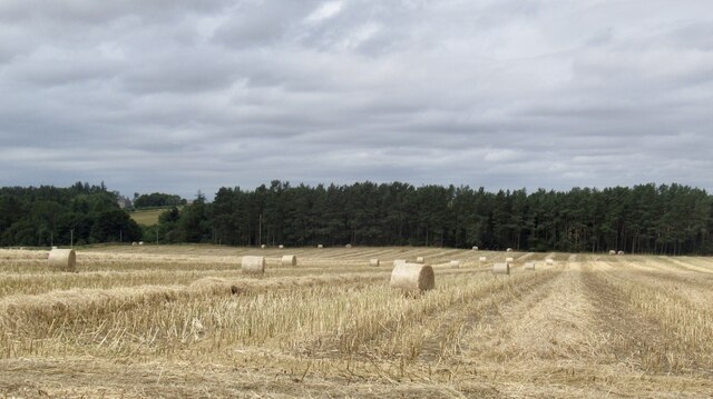
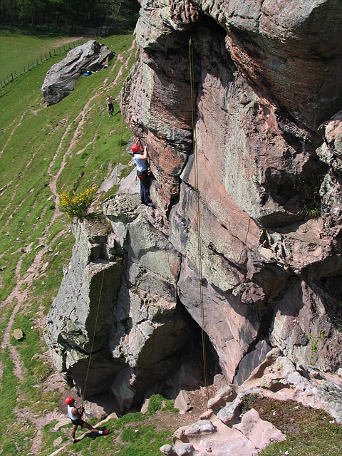
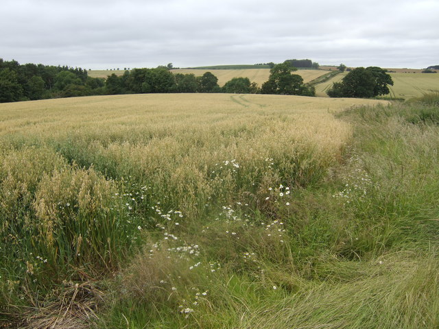
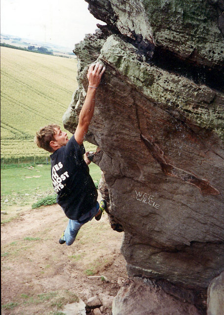
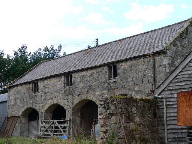
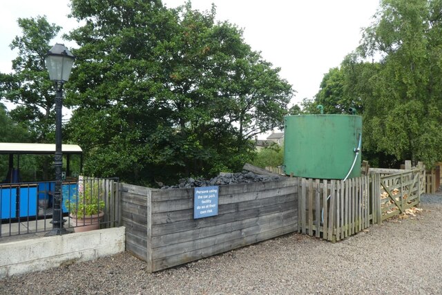
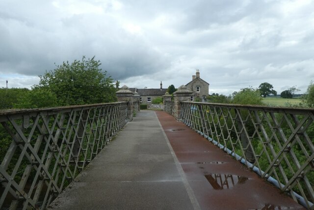
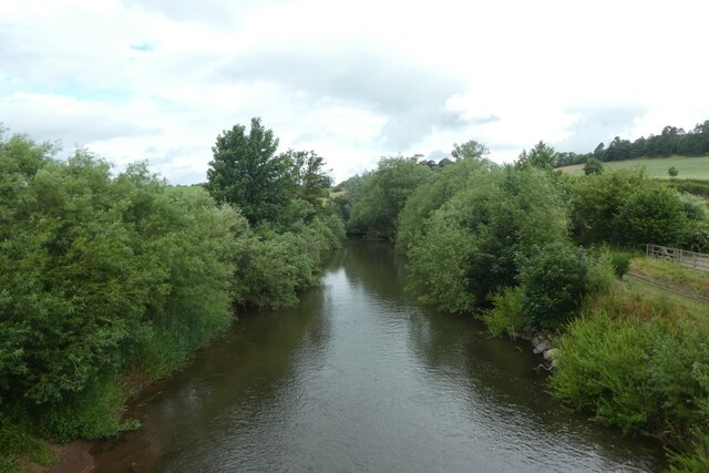
Lady Charlotte's Plantation Images
Images are sourced within 2km of 55.650798/-2.1073136 or Grid Reference NT9339. Thanks to Geograph Open Source API. All images are credited.


Lady Charlotte's Plantation is located at Grid Ref: NT9339 (Lat: 55.650798, Lng: -2.1073136)
Unitary Authority: Northumberland
Police Authority: Northumbria
What 3 Words
///strength.darts.bends. Near Ford, Northumberland
Nearby Locations
Related Wikis

Etal, Northumberland
Etal ( EE-təl) is a small village in the far north of the county of Northumberland, England, in the civil parish of Ford. It lies on a bridging point of...

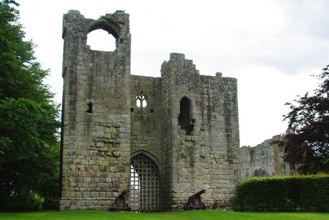
Etal Castle
Etal Castle is a ruined medieval fortification in the village of Etal, Northumberland, England. It was built around 1341 by Robert Manners, and comprised...

Ford Forge
Ford Forge (Ford Mill), Northumberland, England is located on the River Till between the villages of Ford and Etal. Buildings housing a water-powered forge...

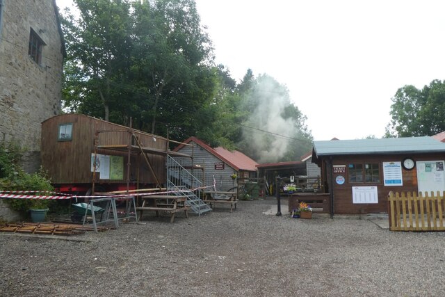
Heatherslaw Mill
Heatherslaw Mill is a water mill situated on the Ford and Etal Estate, 7 miles north of the town of Wooler in the English county of Northumberland. It...

Crookham, Northumberland
Crookham is a village on the River Till in Northumberland, in England. It is situated approximately 8 km (5.0 mi) to the east of Coldstream and 14 km...

Ford Castle
Ford Castle is a Grade I listed building situated at a shallow crossing point on the River Till, Ford, Northumberland, England. The castle dates from about...

Lady Waterford Hall
Lady Waterford Hall is the former village school of the estate village of Ford, Northumberland. It is now used as the village hall and is a Grade II* listed...

Ford, Northumberland
Ford is a small village and civil parish in Northumberland, England, about 13 miles (21 km) from Berwick-upon-Tweed. The parish also includes Etal. �...
Nearby Amenities
Located within 500m of 55.650798,-2.1073136Have you been to Lady Charlotte's Plantation?
Leave your review of Lady Charlotte's Plantation below (or comments, questions and feedback).