New Close Plantation

Wood, Forest in Yorkshire Craven

England

New Close Plantation

Ray Bridge No.172 Over the Leeds & Liverpool Canal
Ray Bridge No.172 Credit: Kevin Waterhouse

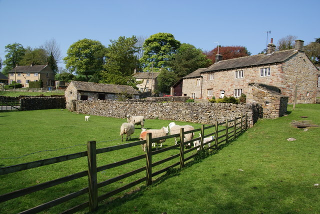
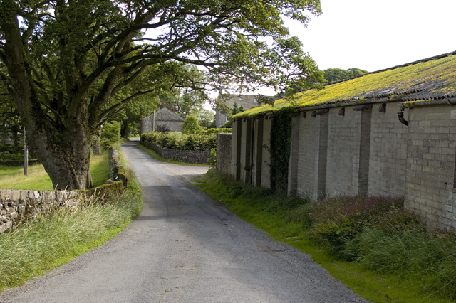
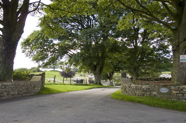
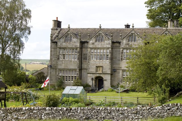
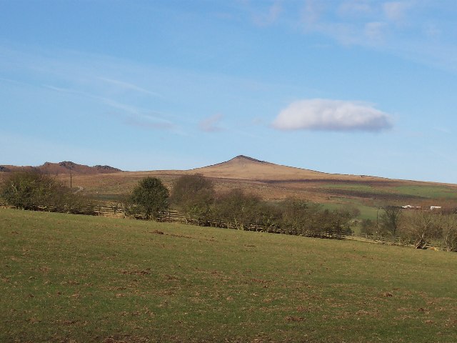
New Close Plantation is a picturesque woodland located in the county of Yorkshire, England. Situated near the village of Wood, this expansive forest covers an area of approximately 500 acres and is a haven for nature enthusiasts and outdoor enthusiasts alike.

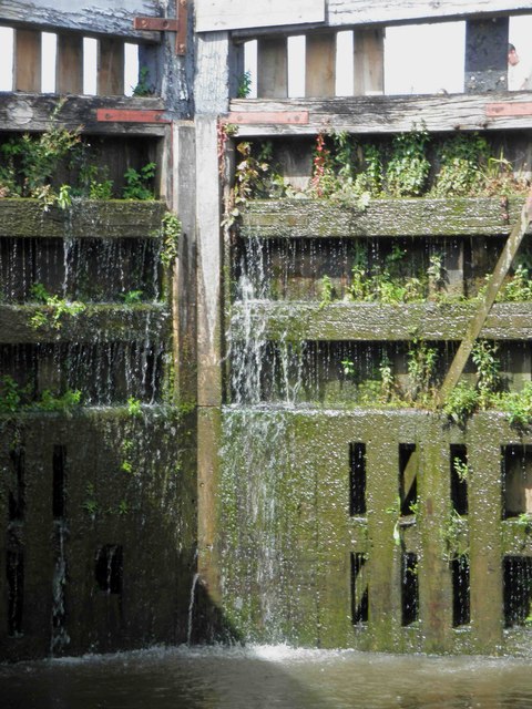
The plantation boasts a diverse range of tree species, including oak, beech, birch, and pine, creating a rich and vibrant ecosystem. These trees provide a dense canopy, casting shade on the forest floor and creating a cool and tranquil atmosphere. The woodland is also home to a variety of flora and fauna, including wildflowers, ferns, and numerous bird species.

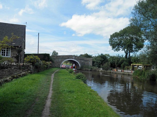
The plantation offers a network of well-maintained walking trails, allowing visitors to explore its natural beauty at their own pace. These trails wind through the forest, offering stunning views of the surrounding countryside and providing opportunities for birdwatching and wildlife spotting.

New Close Plantation is also a popular destination for outdoor recreational activities. Cyclists and horse riders can take advantage of the designated trails, while families can enjoy picnics in the designated areas. The forest also offers a designated camping area, providing a unique opportunity for visitors to experience the tranquility of the woodland overnight.

Overall, New Close Plantation in Yorkshire is a delightful destination for nature lovers, offering a serene and picturesque environment for outdoor activities and a chance to connect with the natural world.

If you have any feedback on the listing, please let us know in the comments section below.

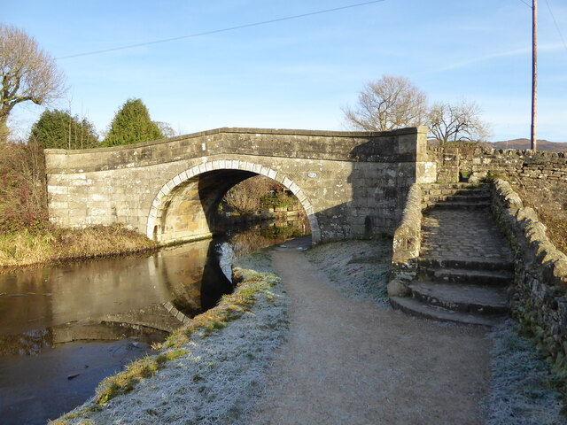
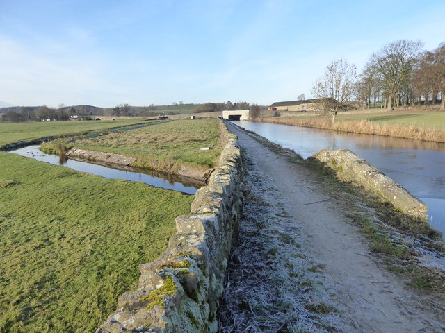
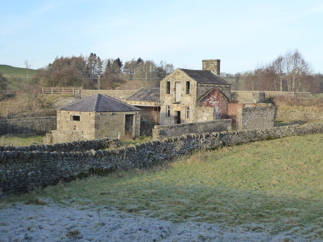
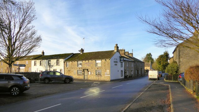
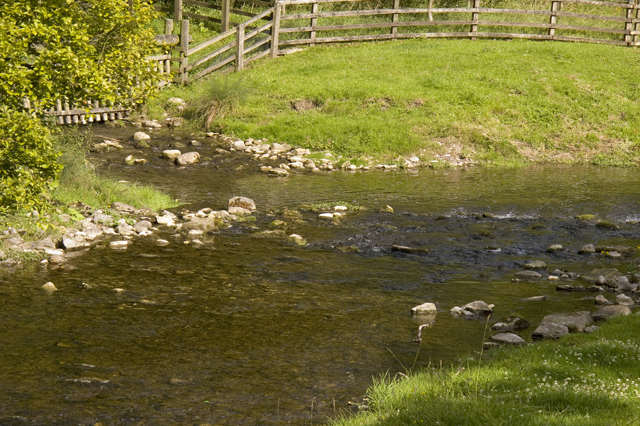
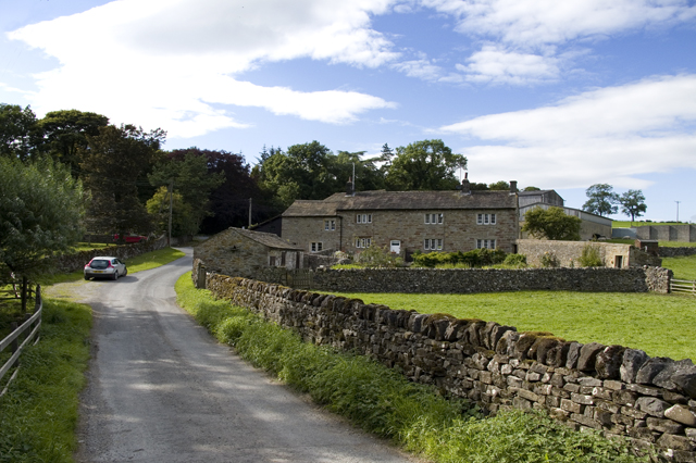
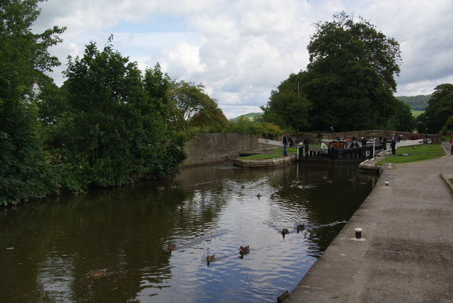
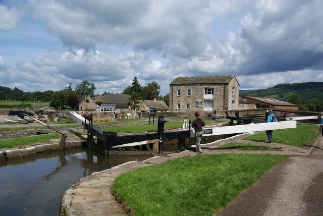
New Close Plantation Images

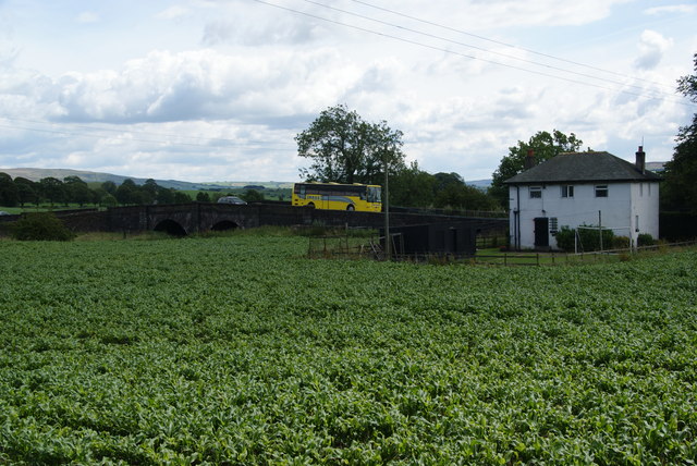
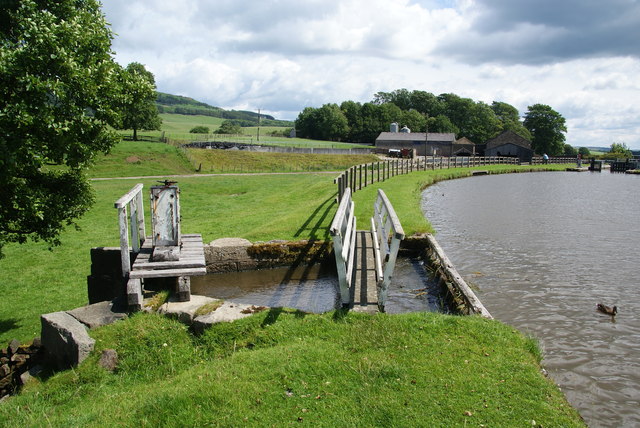
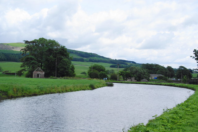
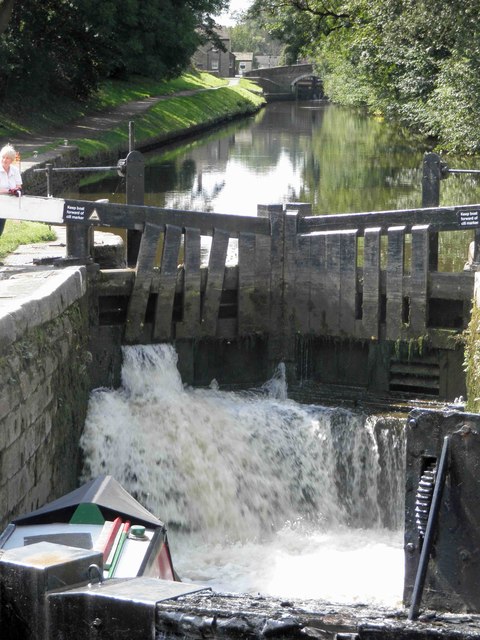
Images are sourced within 2km of 53.99676/-2.1030507 or Grid Reference SD9355. Thanks to Geograph Open Source API. All images are credited.

Ray Bridge No.172 Over the Leeds & Liverpool Canal
Ray Bridge No.172
Over the Leeds & Liverpool Canal
Canal feed at Holme Bridge The Leeds & Liverpool Canal is fed by water from Winterburn Reservoir which has reached this point via a channel in the fields from a sluice on Esholt Beck. The towpath is carried over the feed on a small bridge.
Canal feed at Holme Bridge
The Leeds & Liverpool Canal is fed by water from Winterburn Reservoir which has reached this point via a channel in the fields from a sluice on Esholt Beck. The towpath is carried over the feed on a small bridge.
Remains of The Kennels Marked as The Kennels on early OS maps, these appear to be associated with hunting, as the plaque in the gable has the word hunt just about visible. (There appears to be no information about which hunt may have used these kennels.)
Remains of The Kennels
Marked as The Kennels on early OS maps, these appear to be associated with hunting, as the plaque in the gable has the word hunt just about visible. (There appears to be no information about which hunt may have used these kennels.)
Masons Arms At the junction of Church Street with Marton Road
Masons Arms
At the junction of Church Street with Marton Road
Flasby As seen from the footpath alongside Flasby Beck.
Flasby
As seen from the footpath alongside Flasby Beck.
New Laithe Barn, Eshton
Entrance Drive to Seat House
Friars Head Hall. Winterburn
Confluence of Eshton Beck and Flasby Beck Flasby beck is joining up here with the larger Eshton Beck
Confluence of Eshton Beck and Flasby Beck
Flasby beck is joining up here with the larger Eshton Beck
Ducks by Lock 32 of the Leeds and Liverpool Canal The lock can accommodate two barges, and two are just about to emerge from the lock.
Ducks by Lock 32 of the Leeds and Liverpool Canal
The lock can accommodate two barges, and two are just about to emerge from the lock.
Lock 31 on the Leeds and Liverpool Canal This is by the Eshton Road bridge on the north side of Gargrave.
Lock 31 on the Leeds and Liverpool Canal
This is by the Eshton Road bridge on the north side of Gargrave.
A crop between the A65 and the Leeds and Liverpool Canal I didn't work out what was growing here. The road bridge crosses Eshton Brook which will join the River Aire shortly.
A crop between the A65 and the Leeds and Liverpool Canal
I didn't work out what was growing here. The road bridge crosses Eshton Brook which will join the River Aire shortly.
Sluice on the Leeds and Liverpool Canal This allows surplus water to flow into Eshton Brook.
Sluice on the Leeds and Liverpool Canal
This allows surplus water to flow into Eshton Brook.
A bend in the Leeds and Liverpool Canal This stretch  east of Gragrave seems wider than normal.
A bend in the Leeds and Liverpool Canal
This stretch east of Gragrave seems wider than normal.
Filling lock 31 on the Leeds and Liverpool canal Gargrave
Bridge 172 Ray Bridge on the Leeds Liverpool canal near Gargrave
Lock gate 30 on the Leeds Liverpool canal Gargrave Complete with a substantial amount of greenery.
Lock gate 30 on the Leeds Liverpool canal Gargrave
Complete with a substantial amount of greenery.
Show me another place!

New Close Plantation is located at Grid Ref: SD9355 (Lat: 53.99676, Lng: -2.1030507)

Division: West Riding

Administrative County: North Yorkshire

District: Craven

Police Authority: North Yorkshire

What 3 Words

///wiping.discouraged.scrapping. Near Gargrave, North Yorkshire

Related Wikis

Gargrave

Gargrave is a large village and civil parish in the Craven district located along the A65, 4 miles (6 km) north-west of Skipton in North Yorkshire, England...

Eshton

Eshton is a small village and civil parish in the Craven district of North Yorkshire, England. At the 2011 Census the population was less than 100 and...

Flasby

Flasby is a hamlet in the Yorkshire Dales in North Yorkshire, England. It is one of the two settlements, with Winterburn, in the civil parish of Flasby...

Gargrave railway station

Gargrave is a railway station on the Bentham Line, which runs between Leeds and Morecambe via Skipton. The station, situated 30 miles (48 km) north-west...

Sharp Haw

Sharp Haw is a hill on the southern edge of the Yorkshire Dales, located just within the National Park. Being the last outpost of the hills before the...

Bell Busk

Bell Busk is a hamlet situated in the Craven district of North Yorkshire, England. The hamlet is located at the southern end of Malhamdale where the nascent...

Coniston Cold

Coniston Cold is a village and civil parish in the Craven district of North Yorkshire, England. Historically part of the Staincliffe Wapentake of the West...

Winterburn

Winterburn is a village in the Craven district of North Yorkshire, England. It is about 5 miles (8 km) south west of Grassington. Winterburn Reservoir...

Nearby Amenities

Located within 500m of 53.99676,-2.1030507
Power: pole
Source: Bing
Lat/Long: 53.9930527/-2.104897
Power: pole
Source: Bing
Lat/Long: 53.9939737/-2.1050344
Power: pole
Source: Bing
Lat/Long: 53.994724/-2.1051615
Power: pole
Source: Bing
Lat/Long: 53.9954284/-2.1055039
Power: pole
Source: Bing
Lat/Long: 53.9960369/-2.1056233
Power: pole
Source: Bing
Lat/Long: 53.9966285/-2.1057296
Power: pole
Source: Bing
Lat/Long: 53.9973129/-2.1058294
Power: pole
Source: Bing
Lat/Long: 53.9981593/-2.1059527
Power: pole
Source: Bing
Lat/Long: 53.998943/-2.1060954
Power: pole
Source: Bing
Lat/Long: 53.9997801/-2.1062173
Power: pole
Source: Bing
Lat/Long: 54.0005562/-2.1063677
Power: pole
Source: Bing
Lat/Long: 53.9972887/-2.1045079
The data included in this document is from www.openstreetmap.org. The data is made available under ODbL.

Have you been to New Close Plantation?

Leave your review of New Close Plantation below (or comments, questions and feedback).