Ray Bridge Plantations

Wood, Forest in Yorkshire Craven

England

Ray Bridge Plantations

Old Milestone, on the A65 Just West of Gargrave, towards Hellifield. Located on the South side of road, in grass verge between road and pavement, just before bridge over canal. Metal plate attached to stone post, WR casting design, erected by Keighley & Kendal turnpike trust, 19th century. 

Inscription reads: SETTLE / 10¾ MILES / line / (KENDAL / 40 MILES) :: SKIPTON / 4¾ MILES / line / (KEIGHLEY / 14 MILES) :: KEIGHLEY & KENDAL / ROAD / GARGRAVE :: WILLIAM TOWLER / GLOBE FOUNDRY / - LEEDS - 

Milestone Society National ID: YN_KEKN14
Old Milestone, on the A65 Credit: Tez Exley

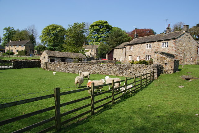
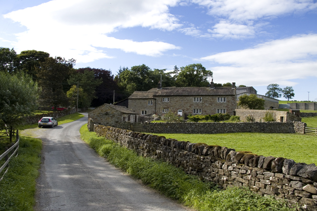
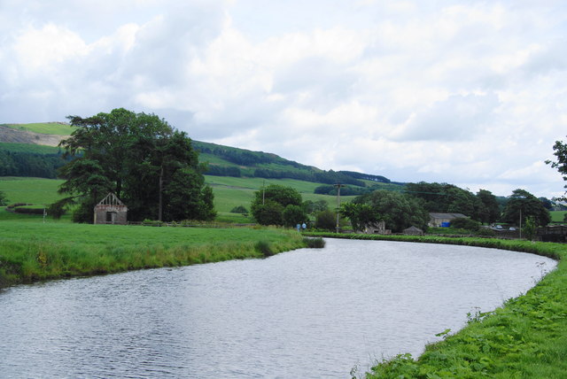
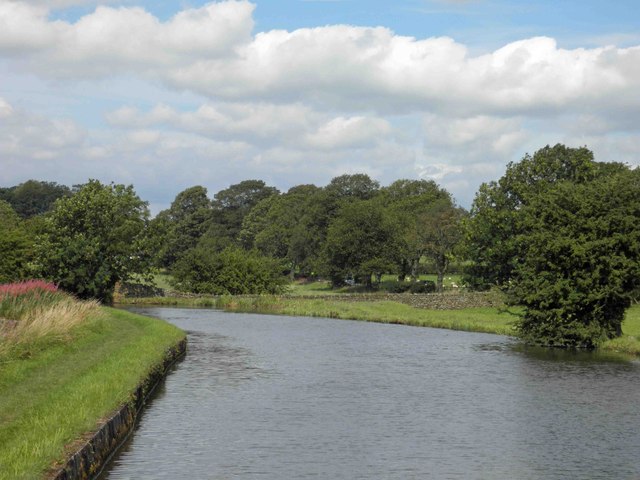
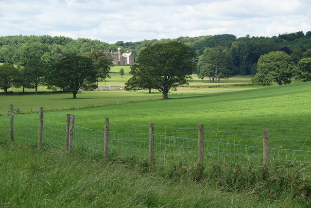
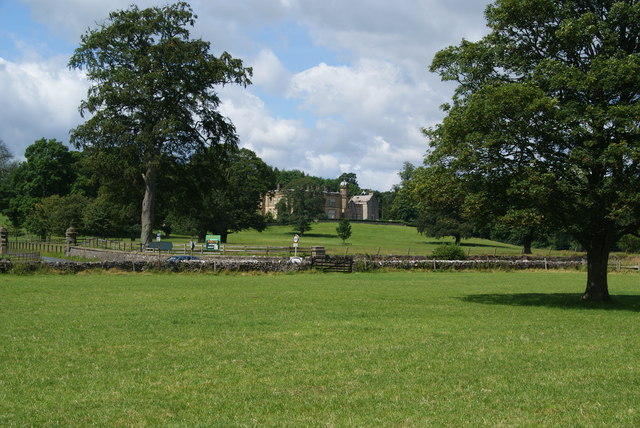
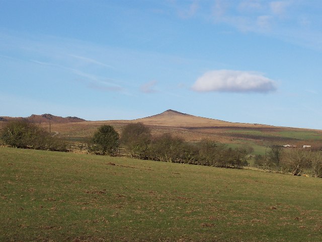
Ray Bridge Plantations is a sprawling woodland area located in Yorkshire, England. Nestled amidst the picturesque countryside, it is renowned for its lush greenery, diverse wildlife, and captivating landscapes. Covering an extensive area, the plantations are a haven for nature enthusiasts and those seeking tranquility in the heart of nature.

The woodlands of Ray Bridge Plantations feature a rich variety of tree species, including majestic oaks, towering beeches, and graceful birches. This diverse ecosystem supports a wide array of flora and fauna, providing a habitat for countless species of animals and plants. The vibrant colors of wildflowers, such as bluebells and foxgloves, add a touch of beauty to the already enchanting scenery.

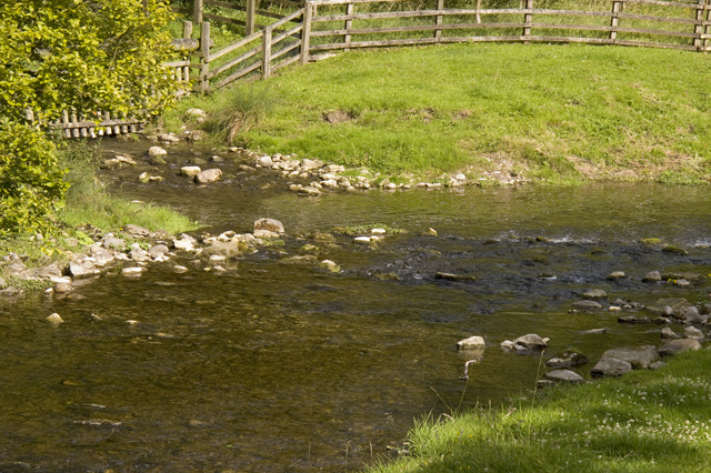
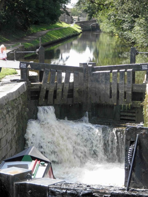
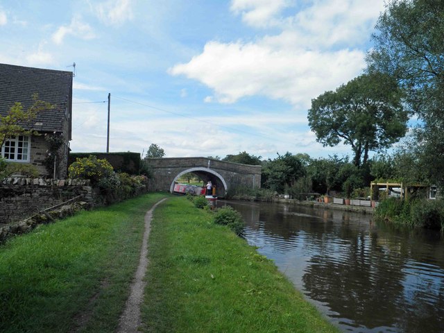
Walking trails wind their way through the plantations, offering visitors the opportunity to explore the woodlands at their own pace. These paths provide access to hidden gems within the forest, such as secluded ponds and babbling brooks. The woodlands also house several picnic areas, allowing visitors to relax and enjoy the serenity of their surroundings.

Ray Bridge Plantations is a popular destination for birdwatchers, as its diverse range of habitats attracts numerous avian species. Bird enthusiasts often spot woodland birds, including woodpeckers, nuthatches, and tawny owls. The plantations are also home to small mammals, such as squirrels and foxes, which can occasionally be spotted darting through the undergrowth.

Overall, Ray Bridge Plantations in Yorkshire is a captivating woodland retreat, offering visitors a chance to immerse themselves in the beauty of nature. Whether it is a leisurely stroll, a birdwatching expedition, or simply a moment of tranquility, this cherished woodland is a true gem in the heart of Yorkshire.

If you have any feedback on the listing, please let us know in the comments section below.

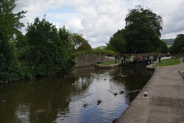
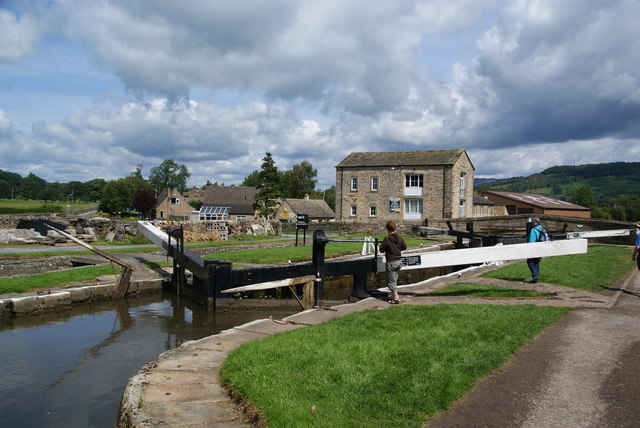
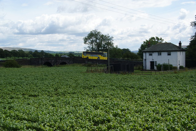
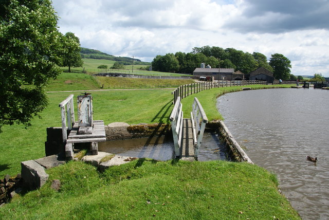
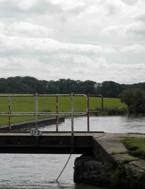
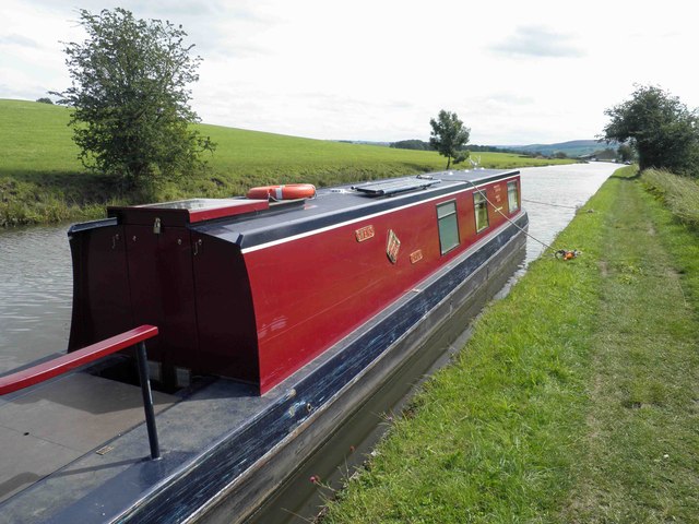
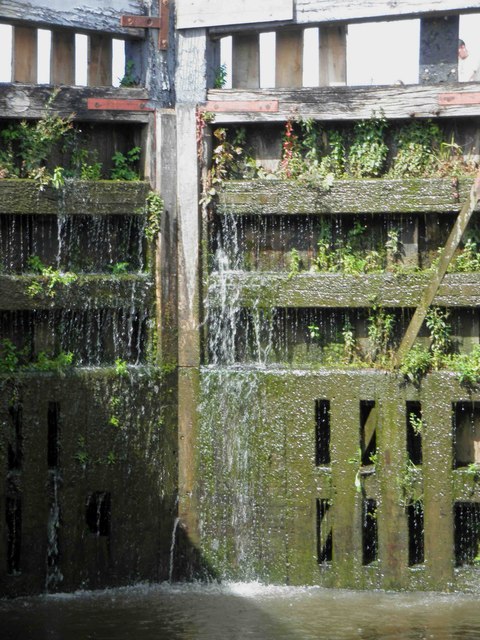
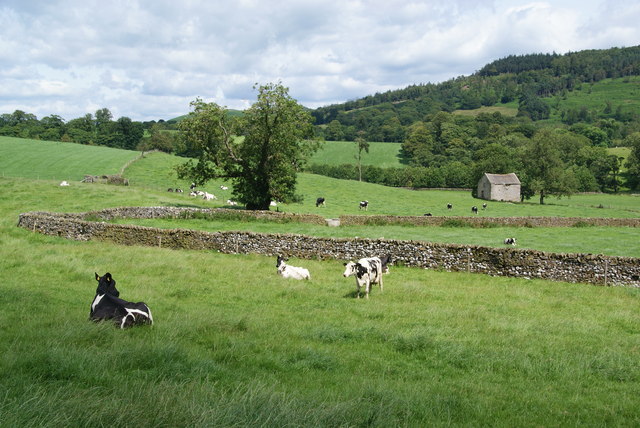
Ray Bridge Plantations Images

Images are sourced within 2km of 53.991312/-2.0948468 or Grid Reference SD9355. Thanks to Geograph Open Source API. All images are credited.

Old Milestone, on the A65 Just West of Gargrave, towards Hellifield. Located on the South side of road, in grass verge between road and pavement, just before bridge over canal. Metal plate attached to stone post, WR casting design, erected by Keighley & Kendal turnpike trust, 19th century. 

Inscription reads: SETTLE / 10¾ MILES / line / (KENDAL / 40 MILES) :: SKIPTON / 4¾ MILES / line / (KEIGHLEY / 14 MILES) :: KEIGHLEY & KENDAL / ROAD / GARGRAVE :: WILLIAM TOWLER / GLOBE FOUNDRY / - LEEDS - 

Milestone Society National ID: YN_KEKN14
Old Milestone, on the A65
Just West of Gargrave, towards Hellifield. Located on the South side of road, in grass verge between road and pavement, just before bridge over canal. Metal plate attached to stone post, WR casting design, erected by Keighley & Kendal turnpike trust, 19th century. Inscription reads: SETTLE / 10¾ MILES / line / (KENDAL / 40 MILES) :: SKIPTON / 4¾ MILES / line / (KEIGHLEY / 14 MILES) :: KEIGHLEY & KENDAL / ROAD / GARGRAVE :: WILLIAM TOWLER / GLOBE FOUNDRY / - LEEDS - Milestone Society National ID: YN_KEKN14
Flasby As seen from the footpath alongside Flasby Beck.
Flasby
As seen from the footpath alongside Flasby Beck.
Confluence of Eshton Beck and Flasby Beck Flasby beck is joining up here with the larger Eshton Beck
Confluence of Eshton Beck and Flasby Beck
Flasby beck is joining up here with the larger Eshton Beck
Ducks by Lock 32 of the Leeds and Liverpool Canal The lock can accommodate two barges, and two are just about to emerge from the lock.
Ducks by Lock 32 of the Leeds and Liverpool Canal
The lock can accommodate two barges, and two are just about to emerge from the lock.
Lock 31 on the Leeds and Liverpool Canal This is by the Eshton Road bridge on the north side of Gargrave.
Lock 31 on the Leeds and Liverpool Canal
This is by the Eshton Road bridge on the north side of Gargrave.
A crop between the A65 and the Leeds and Liverpool Canal I didn't work out what was growing here. The road bridge crosses Eshton Brook which will join the River Aire shortly.
A crop between the A65 and the Leeds and Liverpool Canal
I didn't work out what was growing here. The road bridge crosses Eshton Brook which will join the River Aire shortly.
Sluice on the Leeds and Liverpool Canal This allows surplus water to flow into Eshton Brook.
Sluice on the Leeds and Liverpool Canal
This allows surplus water to flow into Eshton Brook.
A bend in the Leeds and Liverpool Canal This stretch  east of Gragrave seems wider than normal.
A bend in the Leeds and Liverpool Canal
This stretch east of Gragrave seems wider than normal.
Turning point (winding?) on the Leeds Liverpool canal One of two such points before the first lock at Gargrave.
Turning point (winding?) on the Leeds Liverpool canal
One of two such points before the first lock at Gargrave.
Filling lock 31 on the Leeds and Liverpool canal Gargrave
Bridge 172 Ray Bridge on the Leeds Liverpool canal near Gargrave
Bridge 173 Highgate bridge on the Leeds Liverpool canal
Silsden boats Gwen's Drum moored near a winding point on the Leeds Liverpool canal.
Lock gate 30 on the Leeds Liverpool canal Gargrave Complete with a substantial amount of greenery.
Lock gate 30 on the Leeds Liverpool canal Gargrave
Complete with a substantial amount of greenery.
Crumacre Laithe In the valley of Eshton Brook.
Crumacre Laithe
In the valley of Eshton Brook.
Fields above Eshton Hall A pleasant path crosses this estate grassland.
Fields above Eshton Hall
A pleasant path crosses this estate grassland.
Path approaching Eshton Hall The path is not well defined but it doesn't need to be on this grassland.
Path approaching Eshton Hall
The path is not well defined but it doesn't need to be on this grassland.
Show me another place!

Ray Bridge Plantations is located at Grid Ref: SD9355 (Lat: 53.991312, Lng: -2.0948468)

Division: West Riding

Administrative County: North Yorkshire

District: Craven

Police Authority: North Yorkshire

What 3 Words

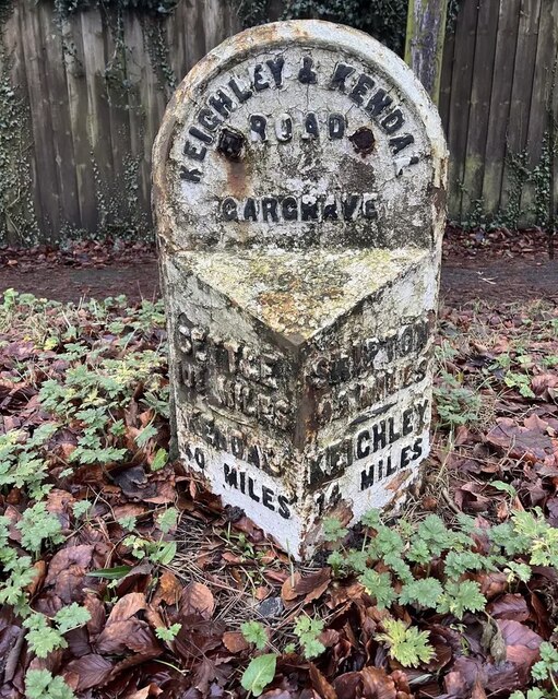
///tint.hero.caves. Near Gargrave, North Yorkshire

Related Wikis

Eshton

Eshton is a small village and civil parish in the Craven district of North Yorkshire, England. At the 2011 Census the population was less than 100 and...

Gargrave

Gargrave is a large village and civil parish in the Craven district located along the A65, 4 miles (6 km) north-west of Skipton in North Yorkshire, England...

Gargrave railway station

Gargrave is a railway station on the Bentham Line, which runs between Leeds and Morecambe via Skipton. The station, situated 30 miles (48 km) north-west...

Flasby

Flasby is a hamlet in the Yorkshire Dales in North Yorkshire, England. It is one of the two settlements, with Winterburn, in the civil parish of Flasby...

Sharp Haw

Sharp Haw is a hill on the southern edge of the Yorkshire Dales, located just within the National Park. Being the last outpost of the hills before the...

Stirton with Thorlby

Stirton with Thorlby is a civil parish in the Craven district of North Yorkshire, England. The parish includes the settlements of Stirton and Thorlby....

Bank Newton

Bank Newton is a small settlement and civil parish in the Craven district of North Yorkshire, England. According to the 2001 census the parish had a population...

Coniston Cold

Coniston Cold is a village and civil parish in the Craven district of North Yorkshire, England. Historically part of the Staincliffe Wapentake of the West...

Nearby Amenities

Located within 500m of 53.991312,-2.0948468
Ray Bridge Hill
Natural: peak
Source: OS 1:25k
Lat/Long: 53.9909887/-2.0938214
Waterway: turning_point
Lat/Long: 53.9877479/-2.095412
Barrier: stile
Source: GPS Survey
Lat/Long: 53.9877043/-2.095056
Inscription: 1/2
Source: GPS Survey
Waterway: milestone
Lat/Long: 53.9874662/-2.0965058
Power: pole
Lat/Long: 53.9881601/-2.0898646
Power: pole
Lat/Long: 53.9888571/-2.0893443
Power: pole
Lat/Long: 53.9893696/-2.0889714
Power: pole
Lat/Long: 53.990155/-2.0883492
Power: pole
Lat/Long: 53.9909308/-2.0877108
Barrier: stile
Lat/Long: 53.9927372/-2.0917434
Power: pole
Source: Bing
Lat/Long: 53.9894781/-2.100259
Power: pole
Source: Bing
Lat/Long: 53.9900363/-2.1011799
Power: pole
Source: Bing
Lat/Long: 53.9906387/-2.1021552
The data included in this document is from www.openstreetmap.org. The data is made available under ODbL.

Have you been to Ray Bridge Plantations?

Leave your review of Ray Bridge Plantations below (or comments, questions and feedback).