Long Wood
Wood, Forest in Dorset
England
Long Wood
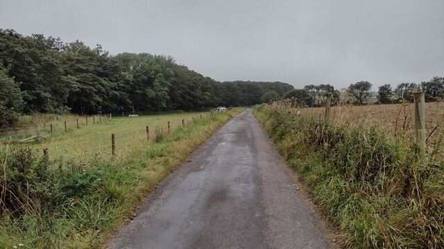
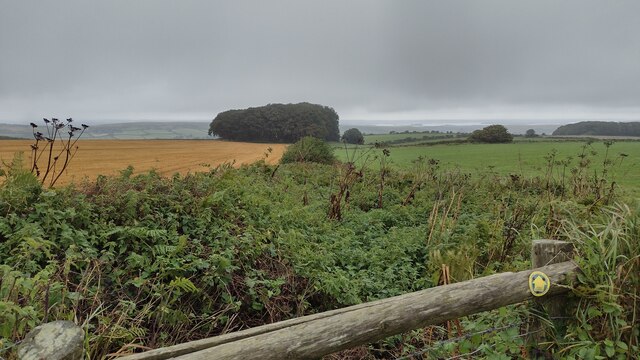
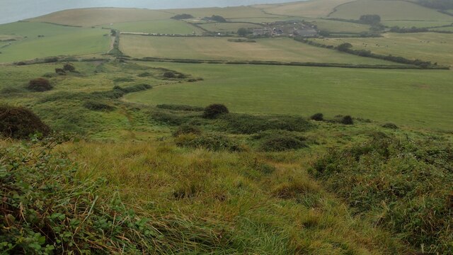
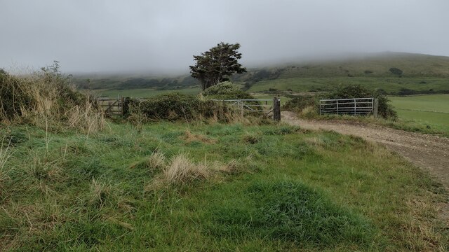
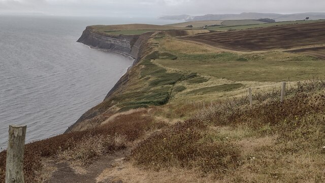
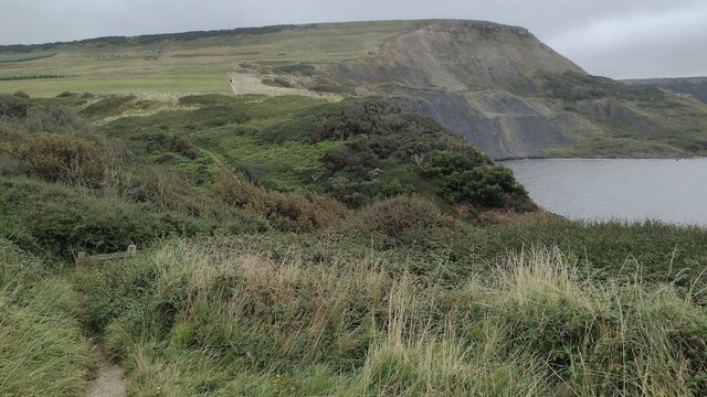
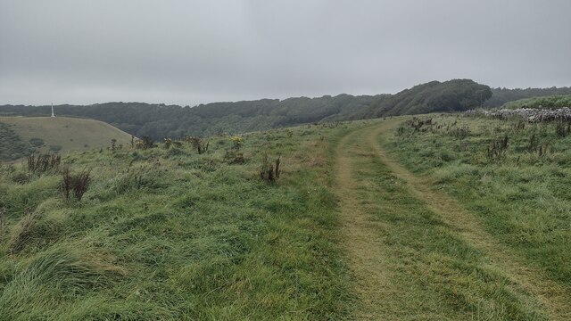
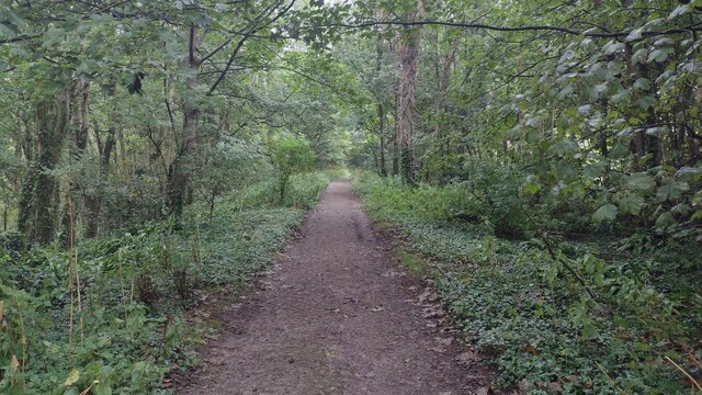
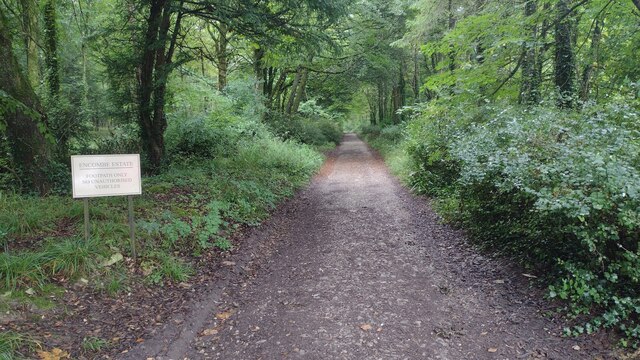
Long Wood is a picturesque forest located in the county of Dorset, England. Covering an area of approximately 1,000 acres, this ancient woodland is situated within the Cranborne Chase and West Wiltshire Downs Area of Outstanding Natural Beauty. Long Wood is considered one of the largest surviving areas of mixed broadleaved woodland in Dorset.
The woodland is known for its diverse vegetation, comprising a variety of tree species such as oak, beech, ash, and hazel. This rich array of trees creates a beautiful and serene environment, especially during the autumn months when the leaves change color, offering a stunning display of reds, yellows, and oranges.
Long Wood also boasts an abundance of wildlife, making it a popular destination for nature enthusiasts and birdwatchers. The forest is home to a range of bird species, including woodpeckers, owls, and various songbirds. Additionally, deer, foxes, badgers, and squirrels can often be spotted roaming through the woodland.
Visitors to Long Wood can enjoy a variety of recreational activities, including walking, hiking, and cycling. The forest features a network of well-maintained trails that allow visitors to explore the woodland and appreciate its natural beauty. For those seeking a peaceful retreat, there are several picnic areas throughout the forest where visitors can relax and enjoy a meal surrounded by nature.
Long Wood truly offers a tranquil escape from the hustle and bustle of everyday life, providing a sanctuary for both nature lovers and those in search of serenity.
If you have any feedback on the listing, please let us know in the comments section below.
Long Wood Images
Images are sourced within 2km of 50.606625/-2.0878601 or Grid Reference SY9378. Thanks to Geograph Open Source API. All images are credited.


Long Wood is located at Grid Ref: SY9378 (Lat: 50.606625, Lng: -2.0878601)
Unitary Authority: Dorset
Police Authority: Dorset
What 3 Words
///shunning.profiled.dome. Near Corfe Castle, Dorset
Nearby Locations
Related Wikis

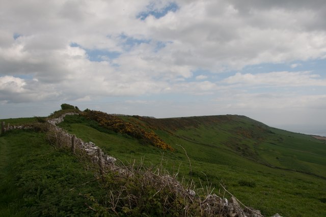
Swyre Head
Swyre Head is the highest point of the Isle of Purbeck in Dorset, on the south coast of England. The hill Swyre Head lies about 2 kilometres (1 mi) southwest...

Encombe House
Encombe House is a privately owned, Grade II* listed country house built in 1735 on the Encombe Estate near the village of Kingston and about 1-mile (1...

Smedmore Hill Settlement
The Smedmore Hill Settlement is an archaeological site about 2 miles (3.2 km) south-west of Corfe Castle, in Dorset, England. The site is a settlement...

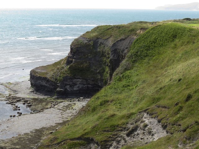
Egmont Bight
Egmont Bight is a shallow embayment at the southern end of the Encombe valley in Dorset, England. It is part of the Jurassic Coast. == Geology == The bay...

Smedmore House
Smedmore House is a country house near Kimmeridge, Dorset, in England. It was originally built by Sir William Clavell around 1620, partially rebuilt by...

Kingston, Purbeck
Kingston is a small village on the Isle of Purbeck in the county of Dorset in southern England. == Location == Kingston is situated about two miles south...

Chapman's Pool
Chapman's Pool is a small cove to the west of Worth Matravers on the Isle of Purbeck, in Dorset, England. == Geology == The rocks that form the cove are...
Blashenwell Farm Pit
Blashenwell Farm Pit (grid reference SY952805) is an 11.4 hectare geological Site of Special Scientific Interest in Dorset, United Kingdom, notified in...
Related Videos

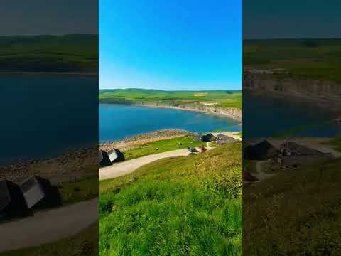
Walking from Kimmeridge Bay to Chapman`s Pool
A beautiful Jurassic coastal walk from Kimmeridge Bay to Chapmans Pool in the isle of Purbeck in Dorset UK, also taking a closer ...

England's Best Hiking Path? For Royal Marines! South West Coast Path Ep.2
England's Best Hiking Path? For Royal Marines! South West Coast Path. If you're a Royal Marine you'll really enjoy this extreme ...

Nearby Amenities
Located within 500m of 50.606625,-2.0878601Have you been to Long Wood?
Leave your review of Long Wood below (or comments, questions and feedback).