Codber Hill
Hill, Mountain in Yorkshire Craven
England
Codber Hill
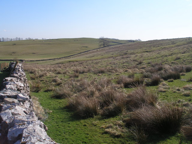
Codber Hill is a prominent geographical feature located in the picturesque region of Yorkshire, England. Situated in the county of North Yorkshire, this hill stands at an elevation of approximately 300 meters above sea level, making it a notable landmark in the area.
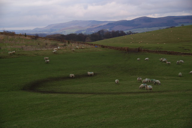
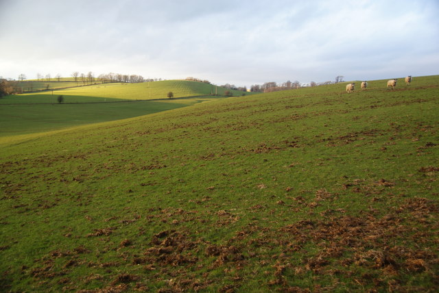
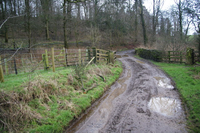
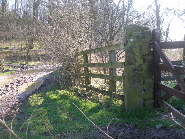
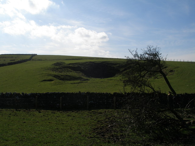
Covered in lush greenery and offering breathtaking panoramic views, Codber Hill is a popular destination for both locals and tourists alike. Its gentle slopes and well-maintained footpaths make it accessible to hikers and nature enthusiasts of all levels of experience.
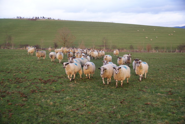
The hill is home to a diverse range of flora and fauna, with a variety of plant species, including wildflowers and grasses, adorning its slopes. It also provides a habitat for numerous bird species, making it a favored spot for birdwatching.
At the summit of Codber Hill, visitors are rewarded with commanding views of the surrounding countryside, including the stunning North Yorkshire Moors and the quaint villages that dot the landscape. On clear days, it is even possible to catch glimpses of the distant Yorkshire Dales.
For those seeking a tranquil escape from the hustle and bustle of daily life, Codber Hill offers a serene and peaceful atmosphere. Its secluded location ensures a sense of privacy, allowing visitors to immerse themselves in the natural beauty that surrounds them.
Overall, Codber Hill is a captivating destination that showcases the stunning landscapes for which Yorkshire is renowned. Whether it's hiking, birdwatching, or simply enjoying the breathtaking views, this hill provides an unforgettable experience for all who venture to its summit.
If you have any feedback on the listing, please let us know in the comments section below.
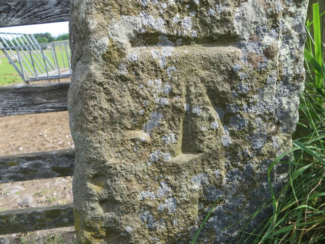
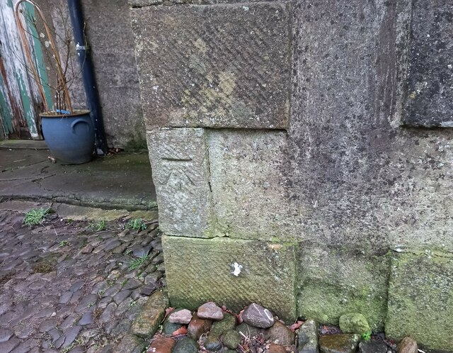
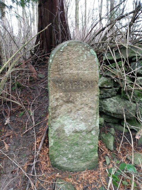
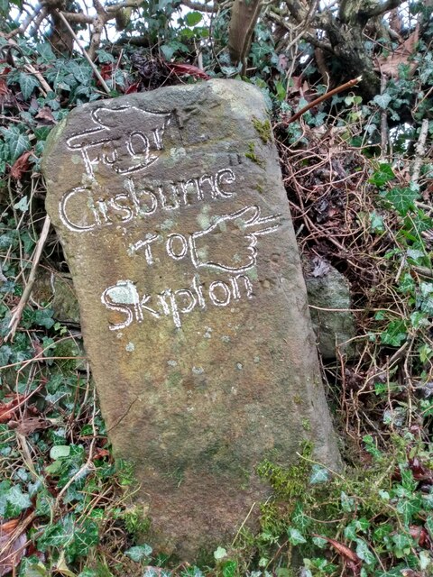
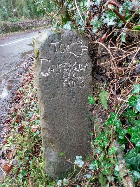
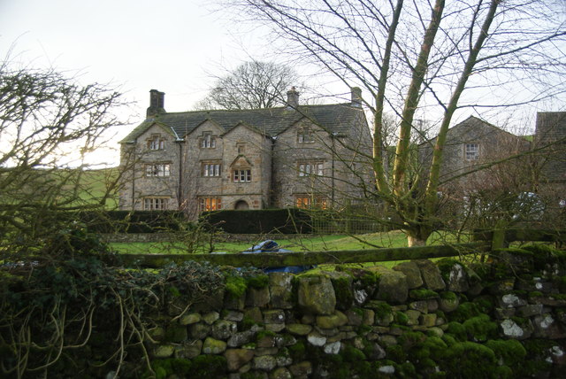
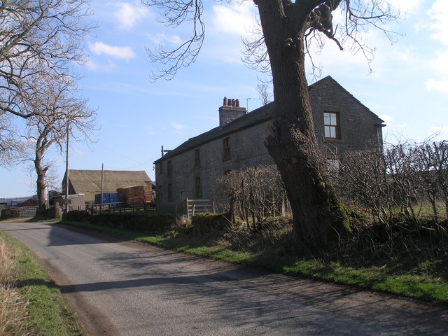
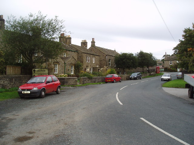
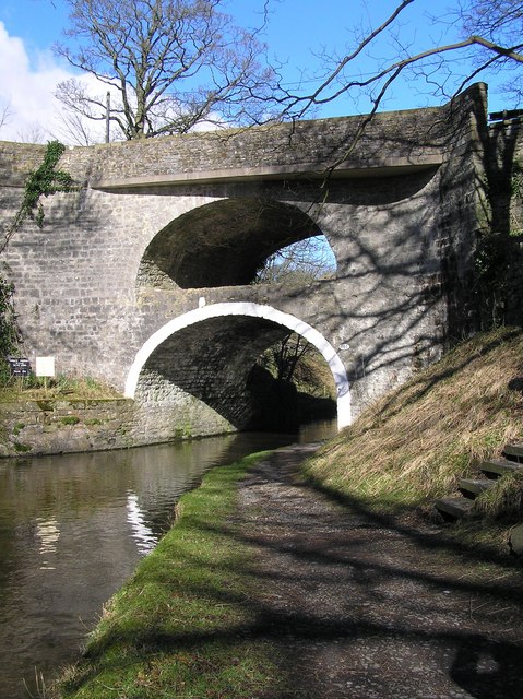
Codber Hill Images
Images are sourced within 2km of 53.969242/-2.1779067 or Grid Reference SD8852. Thanks to Geograph Open Source API. All images are credited.

Codber Hill is located at Grid Ref: SD8852 (Lat: 53.969242, Lng: -2.1779067)
Division: West Riding
Administrative County: North Yorkshire
District: Craven
Police Authority: North Yorkshire
What 3 Words
///absorbing.shifters.smoker. Near Hellifield, North Yorkshire
Nearby Locations
Related Wikis

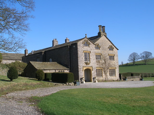
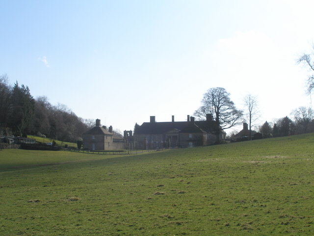
Gledstone Hall
Gledstone Hall is a 20th-century country house in West Marton, near Skipton, North Yorkshire, England. Designed by Edwin Lutyens it stands in a 12-hectare...

Martons Both
Martons Both is a civil parish in the Craven district of North Yorkshire, England. The civil parish is formed by the villages of East Marton and West Marton...
West Marton
West Marton is a village in the Craven district of North Yorkshire, England. It is on the A59 road about 6.5 miles (10.5 km) west of the market town of...

Bank Newton
Bank Newton is a small settlement and civil parish in the Craven district of North Yorkshire, England. According to the 2001 census the parish had a population...

A65 road
The A65 is a major road in England. It runs north west from Leeds in West Yorkshire via Kirkstall, Horsforth, Yeadon, Guiseley, Ilkley and Skipton, west...

Newton Grange, Skipton
Newton Grange in Bank Newton, Skipton, in Yorkshire is a Georgian house of historical significance and is Grade II listed on the English Heritage Register...
East Marton
East Marton is a village in the Craven District of North Yorkshire, England. It is situated approximately 5 miles (8 km) west of the market town of Skipton...

Swinden
Swinden is a village in the civil parish of Hellifield, in North Yorkshire, England. It is near Halton West and Nappa and about 7 miles north of Barnoldswick...
Nearby Amenities
Located within 500m of 53.969242,-2.1779067Have you been to Codber Hill?
Leave your review of Codber Hill below (or comments, questions and feedback).