Brightenber Plantation
Wood, Forest in Yorkshire Craven
England
Brightenber Plantation
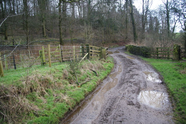
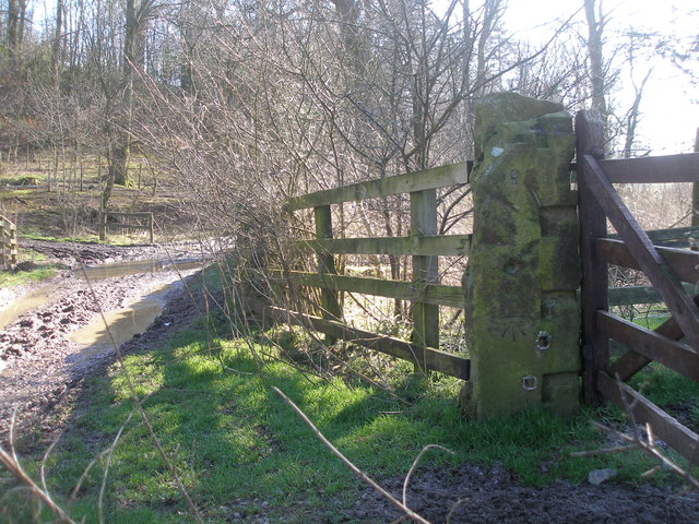
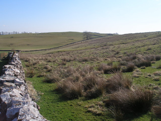
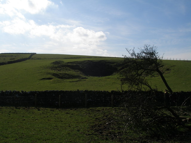
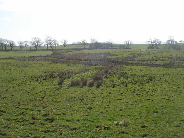
Brightenber Plantation is a picturesque woodland located in Yorkshire, England. Situated in the heart of the county, this plantation covers a vast area of lush greenery, making it a popular destination for nature enthusiasts and hikers alike.
The woodland is predominantly made up of various species of trees, including oak, beech, and pine, which create a diverse and vibrant ecosystem. The forest floor is adorned with a rich carpet of ferns, wildflowers, and mosses, adding to the enchanting atmosphere of the plantation.
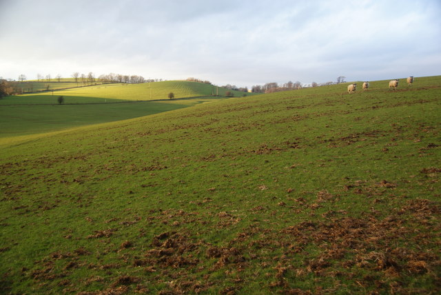
One of the notable features of Brightenber Plantation is the network of well-maintained trails that crisscross through the woodland. These trails cater to different levels of difficulty, ensuring that visitors of all ages and abilities can explore the plantation at their own pace. Along these trails, visitors can discover hidden treasures such as charming streams, ancient ruins, and breathtaking viewpoints that offer panoramic vistas of the surrounding countryside.
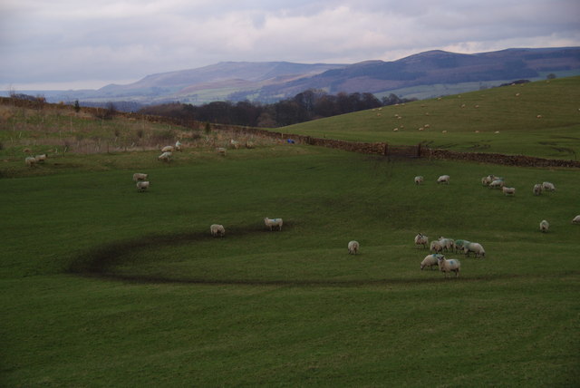
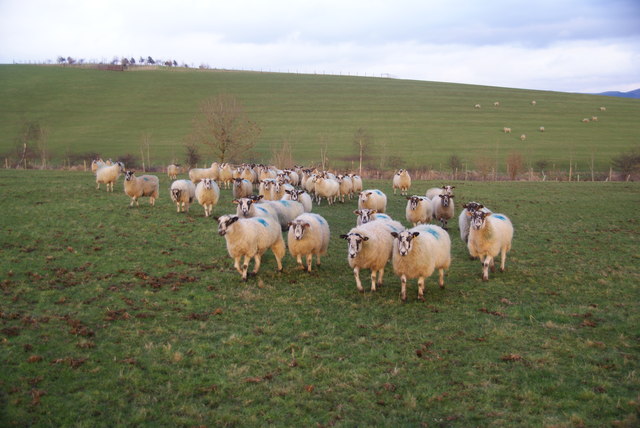
The plantation also serves as a habitat for a wide range of wildlife, including deer, foxes, rabbits, and a variety of bird species. Birdwatchers can spot woodpeckers, owls, and many other feathered friends in their natural habitat.
Brightenber Plantation is open to the public year-round, allowing visitors to witness the ever-changing beauty of the woodland throughout the seasons. Whether it's the vibrant colors of autumn, the fresh green growth of spring, or the tranquil snow-covered landscape in winter, this plantation offers a captivating experience for all who venture into its leafy embrace.
If you have any feedback on the listing, please let us know in the comments section below.
Brightenber Plantation Images
Images are sourced within 2km of 53.972716/-2.1749182 or Grid Reference SD8852. Thanks to Geograph Open Source API. All images are credited.

Brightenber Plantation is located at Grid Ref: SD8852 (Lat: 53.972716, Lng: -2.1749182)
Division: West Riding
Administrative County: North Yorkshire
District: Craven
Police Authority: North Yorkshire
What 3 Words
///winks.ghosts.boil. Near Gargrave, North Yorkshire
Nearby Locations
Related Wikis

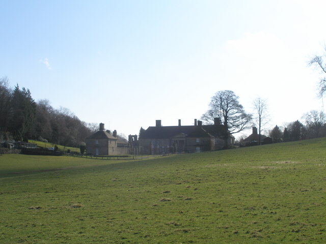
Gledstone Hall
Gledstone Hall is a 20th-century country house in West Marton, near Skipton, North Yorkshire, England. Designed by Edwin Lutyens it stands in a 12-hectare...

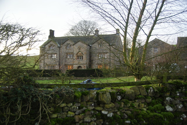
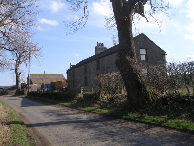
Bank Newton Hall
Bank Newton Hall is a historic building in Bank Newton, a village in North Yorkshire, in England. The older wing of the building dates from the mid-17th...

A65 road
The A65 is a major road in England. It runs north west from Leeds in West Yorkshire via Kirkstall, Horsforth, Yeadon, Guiseley, Ilkley and Skipton, west...

Bank Newton
Bank Newton is a small settlement and civil parish in the Craven district of North Yorkshire, England. According to the 2001 census the parish had a population...
Nearby Amenities
Located within 500m of 53.972716,-2.1749182Have you been to Brightenber Plantation?
Leave your review of Brightenber Plantation below (or comments, questions and feedback).