Stainton House Plantation

Wood, Forest in Yorkshire Craven

England

Stainton House Plantation

West Marton, Stainton Hall The benchmark is cut into a left cornerstone of an outbuilding adjacent to the hall.
West Marton, Stainton Hall Credit: Mel Towler

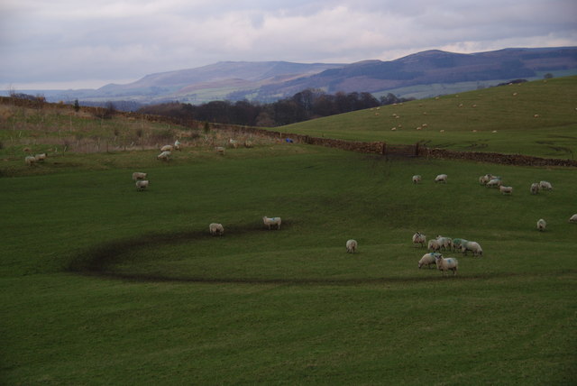
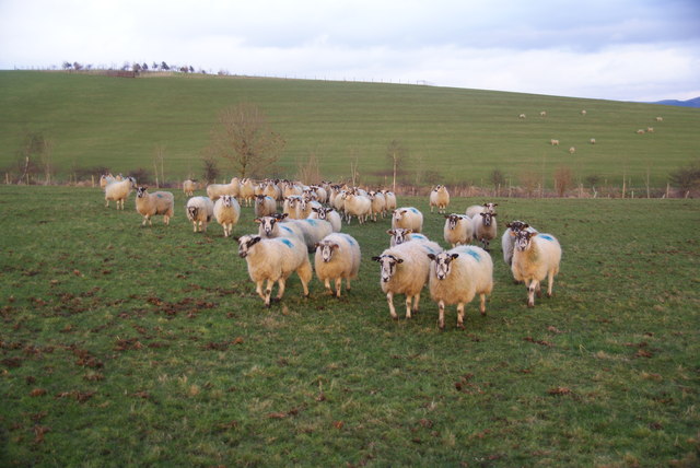
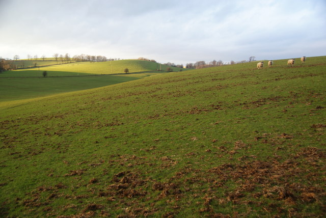
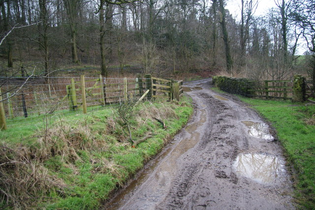
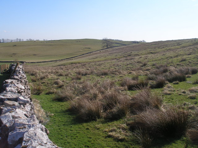
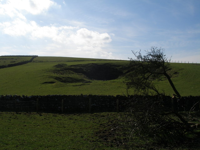
Stainton House Plantation is a beautiful woodland area located in Yorkshire, England. Covering a vast expanse of land, this plantation is a haven for nature enthusiasts and those seeking a peaceful retreat. The plantation is situated in the heart of Yorkshire, surrounded by rolling hills and picturesque landscapes.

The woodland is predominantly composed of a variety of tree species, including oak, beech, ash, and birch, creating a diverse and rich ecosystem. The dense canopy of trees provides a sheltered and cool environment, making it an ideal habitat for a wide range of flora and fauna.

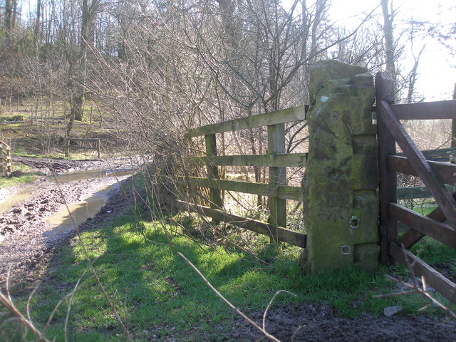
Stainton House Plantation offers numerous walking trails, allowing visitors to explore its natural beauty at their own pace. These trails wind through the woodland, offering stunning views of the surrounding countryside and providing opportunities for birdwatching and wildlife spotting.

The plantation is also home to a number of rare and endangered species, making it an important conservation area. Various conservation efforts are underway to protect and preserve the diverse ecosystem found within the plantation.

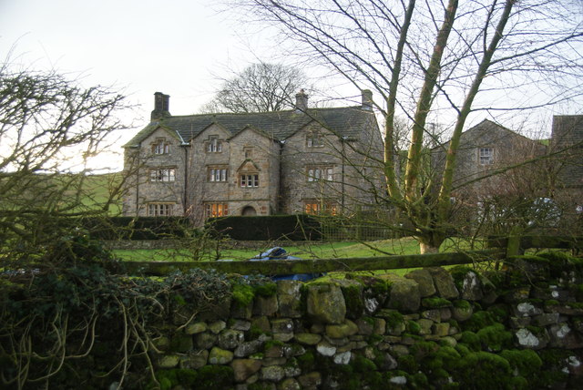
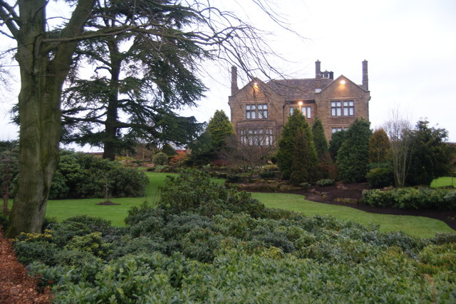
In addition to its natural beauty, Stainton House Plantation is also of historical significance. The area has a rich heritage, with remnants of ancient settlements and historical structures scattered throughout the woodland.

Overall, Stainton House Plantation is a unique and enchanting woodland destination that offers a tranquil escape from the hustle and bustle of everyday life. Its stunning landscapes, diverse wildlife, and historical significance make it a must-visit location for nature lovers and history enthusiasts alike.

If you have any feedback on the listing, please let us know in the comments section below.

Stainton House Plantation Images

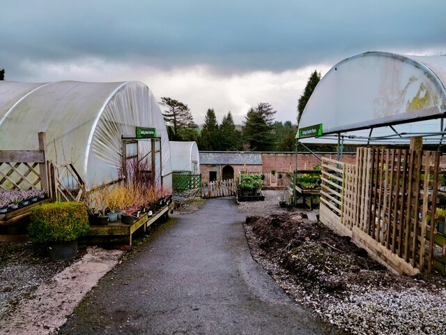
Images are sourced within 2km of 53.966919/-2.1749701 or Grid Reference SD8852. Thanks to Geograph Open Source API. All images are credited.

West Marton, Stainton Hall The benchmark is cut into a left cornerstone of an outbuilding adjacent to the hall.
West Marton, Stainton Hall
The benchmark is cut into a left cornerstone of an outbuilding adjacent to the hall.
Old Boundary Marker on the edge of Tosber Wood Parish Boundary Marker on the edge of Tosber Wood to the rear of a drainage ditch on the west side of an unnamed road 500 metres northeast of its junction with the A59. On the boundary of Martons Both, Horton and Bracewell parishes. All were formerly in The West Riding but since 1974 the stone has been on the border of Lancashire and North Yorkshire. Bracewell combined with Brogden parish Bracewell and Brogden parish in 1987. Grade II Listed details <span class="nowrap"><a title="https://historicengland.org.uk/listing/the-list/list-entry/1317724" rel="nofollow ugc noopener" href="https://historicengland.org.uk/listing/the-list/list-entry/1317724">Link</a><img style="margin-left:2px;" alt="External link" title="External link - shift click to open in new window" src="https://s1.geograph.org.uk/img/external.png" width="10" height="10"/></span>.

Milestone Society National ID: YW_MART01pb
Old Boundary Marker on the edge of Tosber Wood
Parish Boundary Marker on the edge of Tosber Wood to the rear of a drainage ditch on the west side of an unnamed road 500 metres northeast of its junction with the A59. On the boundary of Martons Both, Horton and Bracewell parishes. All were formerly in The West Riding but since 1974 the stone has been on the border of Lancashire and North Yorkshire. Bracewell combined with Brogden parish Bracewell and Brogden parish in 1987. Grade II Listed details LinkExternal link. Milestone Society National ID: YW_MART01pb
Old Guide Stone by Gledstone Road, North of A59 West Marton (East face) The Guide Stone is located near Gledstone Hall on the West side of the road.  Parish of Martons Both (Craven District). Carved stone post, erected in the 18/19C Century, edge chips. An earlier photograph can be found here: <a title="https://www.geograph.org.uk/photo/6094334" href="https://www.geograph.org.uk/photo/6094334">Link</a> 

Inscription reads:-  
{hand to left} / TO (in hand)/ Gisburne / TO {hand to right} /Skipton : :  TO / Gargrave / Ms 3 

Milestone Society National ID: YN_XWMAR
Old Guide Stone by Gledstone Road, North of A59 West Marton (East face)
The Guide Stone is located near Gledstone Hall on the West side of the road.  Parish of Martons Both (Craven District). Carved stone post, erected in the 18/19C Century, edge chips. An earlier photograph can be found here: Link  Inscription reads:- {hand to left} / TO (in hand)/ Gisburne / TO {hand to right} /Skipton : : TO / Gargrave / Ms 3 Milestone Society National ID: YN_XWMAR
Old Guide Stone by Gledstone Road, North of A59 West Marton (West face) The Guide Stone is located near Gledstone Hall on the West side of the road.  Parish of Martons Both (Craven District). Carved stone post, erected in the 18th/19th Century, edge chips. The East face photograph can be found here: <a title="https://www.geograph.org.uk/photo/7383076" href="https://www.geograph.org.uk/photo/7383076">Link</a> 

Inscription reads:-  
{hand to left} / TO (in hand)/ Gisburne / TO {hand to right} /Skipton : :  TO / Gargrave / Ms 3 

Milestone Society National ID: YN_XWMAR
Old Guide Stone by Gledstone Road, North of A59 West Marton (West face)
The Guide Stone is located near Gledstone Hall on the West side of the road.  Parish of Martons Both (Craven District). Carved stone post, erected in the 18th/19th Century, edge chips. The East face photograph can be found here: Link  Inscription reads:- {hand to left} / TO (in hand)/ Gisburne / TO {hand to right} /Skipton : : TO / Gargrave / Ms 3 Milestone Society National ID: YN_XWMAR
Gledstone Garden Centre Tucked away in countryside off the A59 in West Marton is this fine garden centre with huge array of plants for sale.
Gledstone Garden Centre
Tucked away in countryside off the A59 in West Marton is this fine garden centre with huge array of plants for sale.
Ingthorpe Grange Taken as the winter light is fading.
Ingthorpe Grange
Taken as the winter light is fading.
Sheep on Great Pasture Hill With views towards the southern Yorkshire Dales. This was taken as the light was beginning to fade.
Sheep on Great Pasture Hill
With views towards the southern Yorkshire Dales. This was taken as the light was beginning to fade.
Sheep following me They must have thought I was bringing food.
Sheep following me
They must have thought I was bringing food.
Evening sun near Ingthorpe Grange The sun finally broke out at the end of a consistently grey day. This view is seen from the undefined path which goes in the direction of Bank Newton.
Evening sun near Ingthorpe Grange
The sun finally broke out at the end of a consistently grey day. This view is seen from the undefined path which goes in the direction of Bank Newton.
Ingthorpe Lane nearing Brows Plantation The bridge ahead crosses Fleet Syke.
Ingthorpe Lane nearing Brows Plantation
The bridge ahead crosses Fleet Syke.
Ingthorpe Lane It links Ingthorpe Grange with East Marton.
Ingthorpe Lane
It links Ingthorpe Grange with East Marton.
Croft House A grand house overlooking the A59.
Croft House
A grand house overlooking the A59.
Benchmark beside Ingthorpe Lane at Brows Plantation
Ingthorpe Grange
Ingthorpe Grange
Ingthorpe Grange
Ingthorpe Grange
Gledstone Hall
Gledstone Hall
Footpath below Flambers Hill Not much on the ground.   Flambers Hill rises to the right
Footpath below Flambers Hill
Not much on the ground. Flambers Hill rises to the right
Old quarry near Flambers Hill
Show me another place!

Stainton House Plantation is located at Grid Ref: SD8852 (Lat: 53.966919, Lng: -2.1749701)

Division: West Riding

Administrative County: North Yorkshire

District: Craven

Police Authority: North Yorkshire

What 3 Words

///soggy.rinses.wide. Near Gargrave, North Yorkshire

Related Wikis

Gledstone Hall

Gledstone Hall is a 20th-century country house in West Marton, near Skipton, North Yorkshire, England. Designed by Edwin Lutyens it stands in a 12-hectare...

Martons Both

Martons Both is a civil parish in the Craven district of North Yorkshire, England. The civil parish is formed by the villages of East Marton and West Marton...

West Marton

West Marton is a village in the Craven district of North Yorkshire, England. It is on the A59 road about 6.5 miles (10.5 km) west of the market town of...

Bank Newton Hall

Bank Newton Hall is a historic building in Bank Newton, a village in North Yorkshire, in England. The older wing of the building dates from the mid-17th...

Nearby Amenities

Located within 500m of 53.966919,-2.1749701
Codber Hill
Man Made: survey_point
Natural: peak
Source: OS 1:25k
Lat/Long: 53.9690555/-2.1775029
The data included in this document is from www.openstreetmap.org. The data is made available under ODbL.

Have you been to Stainton House Plantation?

Leave your review of Stainton House Plantation below (or comments, questions and feedback).