Holbeche Osiers

Wood, Forest in Staffordshire South Staffordshire

England

Holbeche Osiers

Arizona Crossing Pub at the crossroads in Kingswinford which has live music.
Arizona Crossing Credit: Stephen Rogerson

Holbeche Osiers is a woodland located in Staffordshire, England. Situated near the village of Holbeche, it is a picturesque area known for its beautiful and diverse natural landscapes. The wood covers an extensive area, offering visitors a tranquil and peaceful retreat.

Holbeche Osiers is primarily composed of a variety of native tree species, including oak, beech, ash, and birch. These trees create a dense canopy, providing shade and protection for a wide range of flora and fauna. The woodland floor is adorned with a rich carpet of wildflowers during the spring and summer months.

The wood is also home to a diverse array of wildlife. Visitors may spot various bird species, including woodpeckers, thrushes, and owls. Mammals such as deer, foxes, and badgers can also be seen roaming the area. Holbeche Osiers provides a vital habitat for these animals, offering a safe haven for their survival.

The wood is a popular destination for nature enthusiasts, hikers, and birdwatchers. There are several well-marked trails that wind through the woodland, allowing visitors to explore its beauty at their leisure. While walking through the wood, visitors can enjoy the peaceful ambiance and take in the stunning views of the surrounding countryside.

Holbeche Osiers is not only a place of natural beauty but also holds historical significance. It is believed to have been used as a source of timber during the Middle Ages. Today, the wood serves as a reminder of the area's rich history and provides a valuable space for recreation and appreciation of nature for locals and tourists alike.

If you have any feedback on the listing, please let us know in the comments section below.

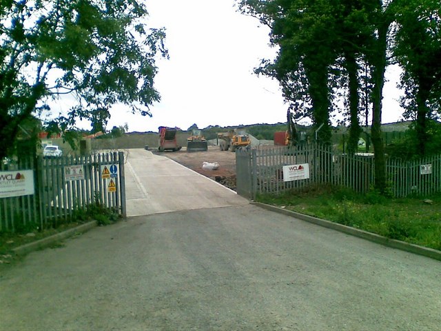
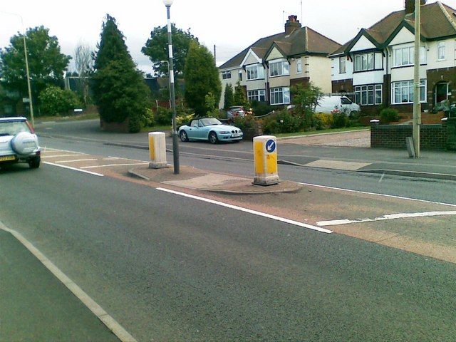
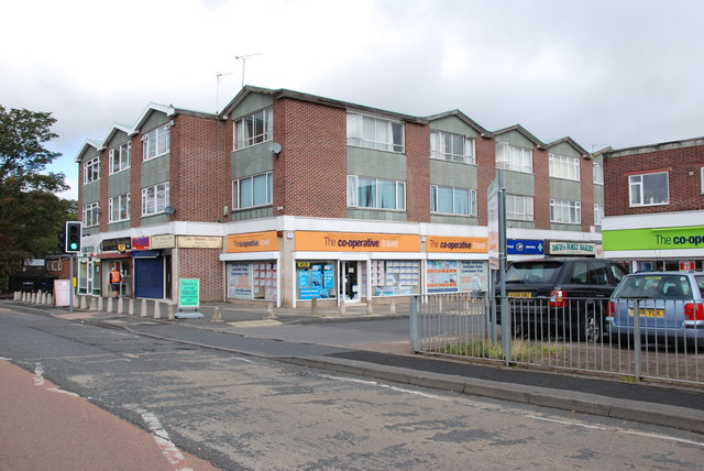
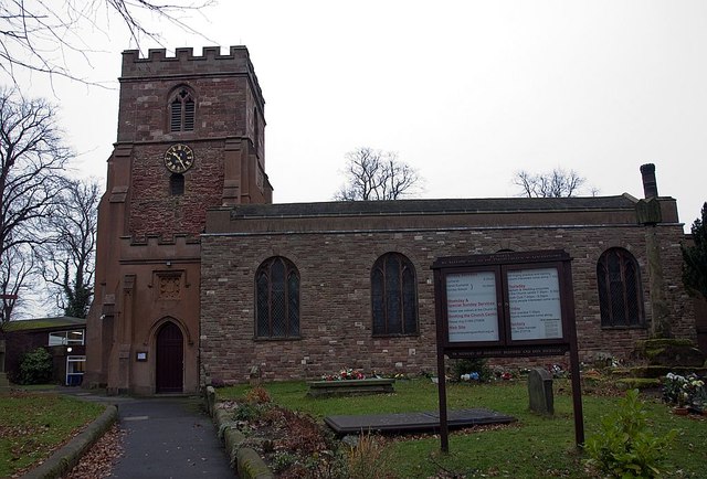
Holbeche Osiers Images

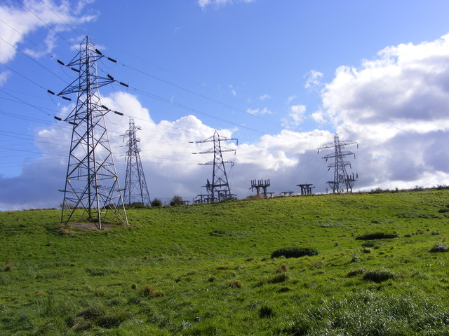
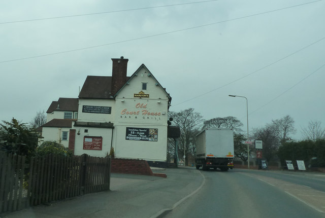
Images are sourced within 2km of 52.513535/-2.1693535 or Grid Reference SO8890. Thanks to Geograph Open Source API. All images are credited.

Arizona Crossing Pub at the crossroads in Kingswinford which has live music.
Arizona Crossing
Pub at the crossroads in Kingswinford which has live music.
Play area, Wall Heath
Quarry entrance, Dudley Road
Dudley Road, Dudley
Dudley Road, Dudley
Shopping Precinct, Wall Heath
Cross Street, Wall Heath
St Andrew's Church Wall Heath St Andrew's United Reformed church Wall Heath.
St Andrew's Church Wall Heath
St Andrew's United Reformed church Wall Heath.
St Mary's Kingswinford Church and churchyard of St Mary's C of E Kingswinford
St Mary's Kingswinford
Church and churchyard of St Mary's C of E Kingswinford
The Cross The crossroads of Summer Hill and Market Street, Kingswinford.
The Cross
The crossroads of Summer Hill and Market Street, Kingswinford.
The Summerhill The view of the Harvester Pub and Travelodge off the Swindon Road at Kinswinford.
The Summerhill
The view of the Harvester Pub and Travelodge off the Swindon Road at Kinswinford.
Play Area by Dawley Brook
Kingswinford Travelodge Summer Hill House a former private hotel now part of a national chain.
Kingswinford Travelodge
Summer Hill House a former private hotel now part of a national chain.
The Harvester, Summer Hill Sharing parking and the services of the nearby Travelodge.
The Harvester, Summer Hill
Sharing parking and the services of the nearby Travelodge.
Pedestrian entrance to Summer Hill House The  gateway to what in the past must have been a grander establishment.
Now serving as a Harvester and a Travelodge.
Pedestrian entrance to Summer Hill House
The gateway to what in the past must have been a grander establishment. Now serving as a Harvester and a Travelodge.
Entrance to Summer Hill House Swindon Road. Now a Harvester and Travelodge.
Entrance to Summer Hill House
Swindon Road. Now a Harvester and Travelodge.
Hicksford Sub Station
The Old Court House on the A4101
Water Street
Water Street
Show me another place!

Holbeche Osiers is located at Grid Ref: SO8890 (Lat: 52.513535, Lng: -2.1693535)

Administrative County: Staffordshire

District: South Staffordshire

Police Authority: Staffordshire

What 3 Words

///joined.dress.slope. Near Kingswinford, West Midlands

Related Wikis

Holbeche House

Holbeche House (also, in some texts, Holbeach or Holbeache) is a mansion located approximately 1 mile (1.6 km) north of Kingswinford, now in the Metropolitan...

Himley

Himley is a small village and civil parish in Staffordshire, England, 4 miles (6.4 km) west of Dudley and 5 mi (8.0 km) southwest of Wolverhampton. At...

Wall Heath

Wall Heath is a suburban village in the Dudley Metropolitan Borough in the West Midlands of England. It is located on the A449 road, approximately 1.5...

The Crooked House

The Crooked House was a pub in South Staffordshire, England. Its name and distinctive appearance were the result of 19th-century mining subsidence which...

Nearby Amenities

Located within 500m of 52.513535,-2.1693535
Post Box
Ref: DY6 253
Lat/Long: 52.5101943/-2.1740724
Bus Stop
Dudley Road
Naptan AtcoCode: 3800C621801
Naptan Bearing: S
Naptan CommonName: Dudley Road
Naptan Indicator: Adj
Naptan Street: Wolverhampton Road
Naptan Verified: no
Public Transport: platform
Source: naptan_import
Lat/Long: 52.5163358/-2.1742905
Power: tower
Lat/Long: 52.514107/-2.1723738
Power: tower
Lat/Long: 52.5139504/-2.1649665
Power: tower
Lat/Long: 52.5140549/-2.1692553
Barrier: swing_gate
Swing Gate Type: single
Vehicle: private
Lat/Long: 52.5155735/-2.1650547
Generator Method: photovoltaic
Generator Output Electricity: yes
Generator Source: solar
Generator Type: solar_photovoltaic_panel
Location: roof
Power: generator
Lat/Long: 52.5114398/-2.1758804
Generator Method: photovoltaic
Generator Output Electricity: yes
Generator Source: solar
Generator Type: solar_photovoltaic_panel
Location: roof
Power: generator
Lat/Long: 52.5114643/-2.1642691
Barrier: bollard
Lat/Long: 52.5133125/-2.1634833
The data included in this document is from www.openstreetmap.org. The data is made available under ODbL.

Have you been to Holbeche Osiers?

Leave your review of Holbeche Osiers below (or comments, questions and feedback).