Walwickfell Plantations
Wood, Forest in Northumberland
England
Walwickfell Plantations
Walwickfell Plantations is a stunning woodland area located in Northumberland, England. Nestled amidst the breathtaking North Pennines Area of Outstanding Natural Beauty, this forest is a true haven for nature enthusiasts and outdoor adventurers alike.
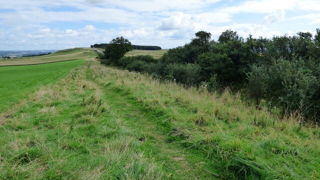
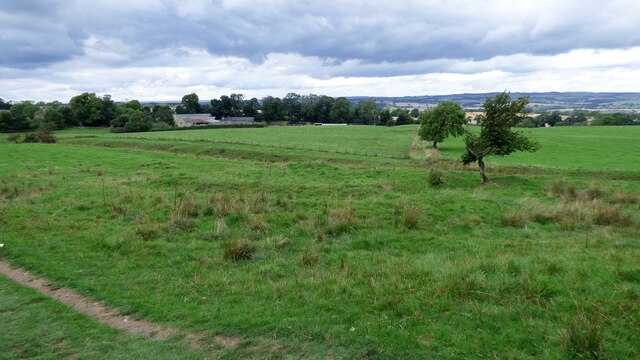
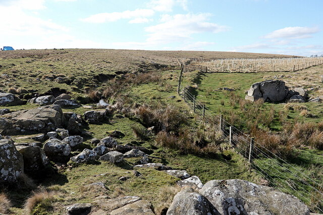
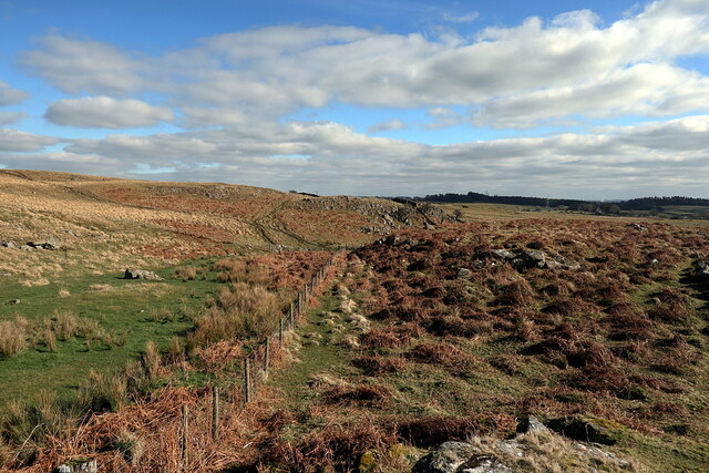
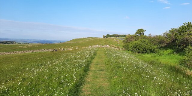
Covering a vast area, Walwickfell Plantations offer a diverse range of tree species, including oak, birch, pine, and beech. The dense canopy provides a tranquil and secluded atmosphere, making it a perfect escape from the hustle and bustle of everyday life. The forest floor is adorned with a rich carpet of wildflowers, ferns, and mosses, creating a picturesque landscape that is a delight to explore.
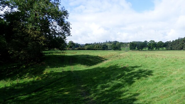
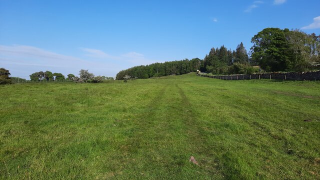
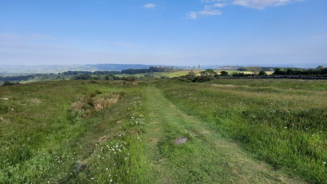
The plantations are crisscrossed by a network of well-maintained walking trails, allowing visitors to embark on leisurely strolls or challenging hikes. The paths wind through the forest, offering glimpses of wildlife such as deer, squirrels, and a wide variety of bird species. Nature lovers will also appreciate the opportunity to spot rare and protected plants, adding to the plantations' ecological importance.
Walwickfell Plantations provide a range of recreational activities for visitors. From picnicking in serene clearings to camping in designated areas, there is something for everyone. The forest is also a popular destination for mountain biking and horseback riding, with designated trails catering to these activities. Additionally, there are several viewpoints within the plantations that offer breathtaking vistas of the surrounding countryside, making them ideal spots for photography enthusiasts.
Overall, Walwickfell Plantations in Northumberland offer a truly immersive experience in nature. With its diverse flora and fauna, well-maintained trails, and various recreational opportunities, it is a destination that should not be missed by those seeking solace in the beauty of the natural world.
If you have any feedback on the listing, please let us know in the comments section below.
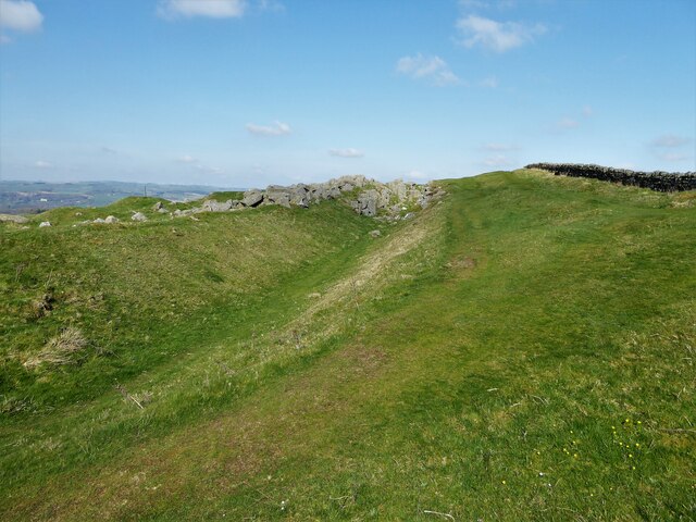
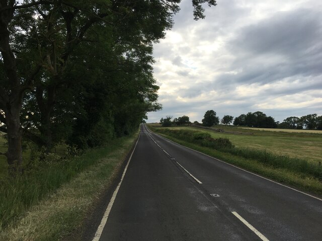
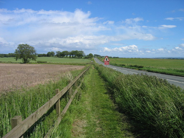
Walwickfell Plantations Images
Images are sourced within 2km of 55.032212/-2.1795875 or Grid Reference NY8870. Thanks to Geograph Open Source API. All images are credited.
Walwickfell Plantations is located at Grid Ref: NY8870 (Lat: 55.032212, Lng: -2.1795875)
Unitary Authority: Northumberland
Police Authority: Northumbria
What 3 Words
///regular.flute.housework. Near Wall, Northumberland
Nearby Locations
Related Wikis

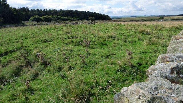
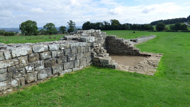
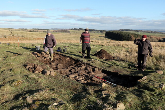
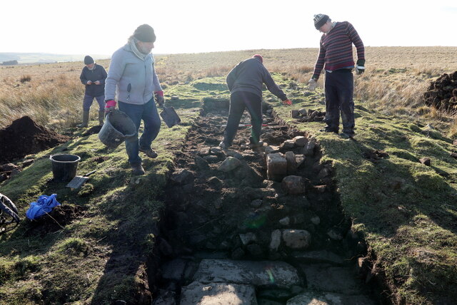
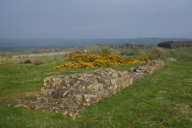
Milecastle 29
Milecastle 29 (Tower Tye) was a milecastle of the Roman Hadrian's Wall. Its remains exist as a mutilated earth platform accentuated by deep robber-trenches...
Military Road (Northumberland)
The Military Road is part of the B6318 road in Northumberland, England, which runs from Heddon-on-the-Wall in the east to Greenhead in the west. For much...
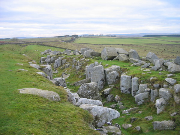
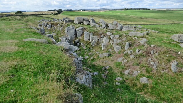
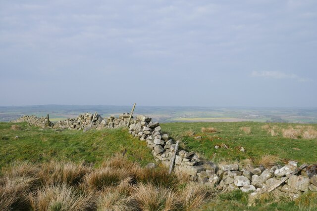
Limestone Corner
Limestone Corner is an area of Hadrian's Wall (and associated defences) at its most northerly point, in present-day northern England. It represents the...

Milecastle 30
Milecastle 30 (Limestone Corner) was a milecastle of the Roman Hadrian's Wall. Its remains exist as an outward-facing scarp with a maximum height of 0...
Nearby Amenities
Located within 500m of 55.032212,-2.1795875Have you been to Walwickfell Plantations?
Leave your review of Walwickfell Plantations below (or comments, questions and feedback).