Warden
Civil Parish in Northumberland
England
Warden
Warden is a civil parish located in the county of Northumberland, in the northeast region of England. Situated on the banks of the River Tyne, it is part of the district of Hexham. The parish covers an area of approximately 12 square kilometers and has a population of around 600 residents.
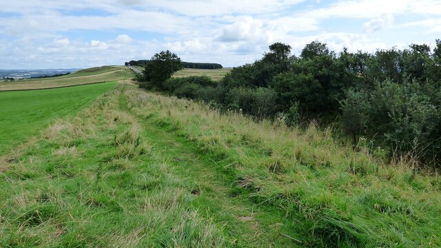
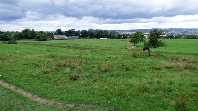
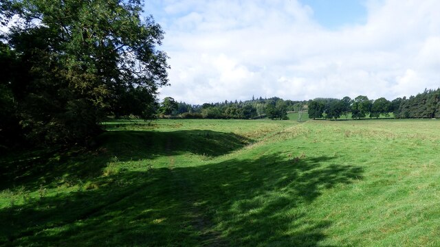
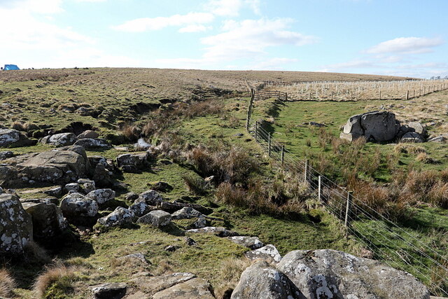
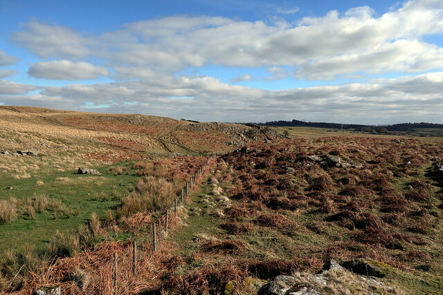
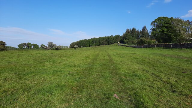
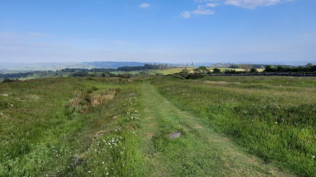
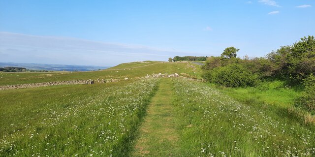
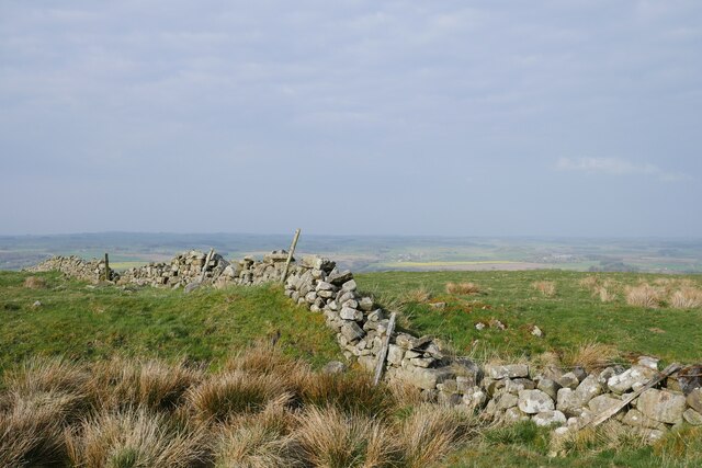
Warden is known for its picturesque countryside and stunning natural landscapes. It is surrounded by rolling hills and fields, offering breathtaking views of the Northumberland countryside. The village itself is small but charming, with traditional stone houses and a sense of rural tranquility.
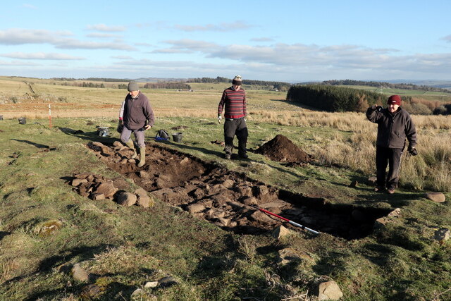
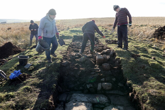
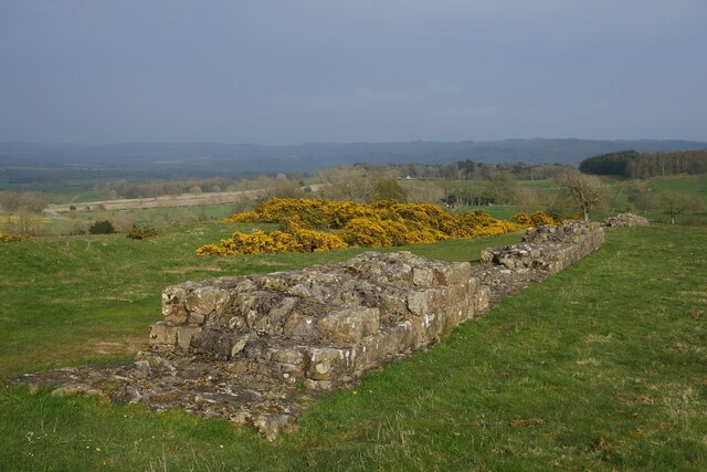
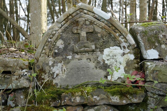
One of the main attractions in Warden is the historic Warden Castle, a medieval fortress that dates back to the 14th century. The castle, now in ruins, overlooks the River Tyne and provides a glimpse into the area's rich history. The parish is also home to several other historic sites, including a Norman church and a number of archaeological remains.
Warden is a popular destination for outdoor enthusiasts, offering a range of activities such as walking, hiking, and fishing. The nearby Northumberland National Park provides ample opportunities for exploring the natural beauty of the region, with its vast moorlands, forests, and rivers.
In terms of amenities, Warden has a village hall and a primary school, catering to the needs of the local community. The nearest town, Hexham, is just a short drive away and offers additional services and amenities.
Overall, Warden is a charming and idyllic parish, known for its stunning natural beauty and rich historical heritage. It provides a peaceful and picturesque setting for residents and visitors alike.
If you have any feedback on the listing, please let us know in the comments section below.
Warden Images
Images are sourced within 2km of 55.032402/-2.182764 or Grid Reference NY8870. Thanks to Geograph Open Source API. All images are credited.
Warden is located at Grid Ref: NY8870 (Lat: 55.032402, Lng: -2.182764)
Unitary Authority: Northumberland
Police Authority: Northumbria
What 3 Words
///examples.sagging.openly. Near Wall, Northumberland
Nearby Locations
Related Wikis

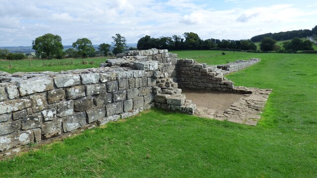
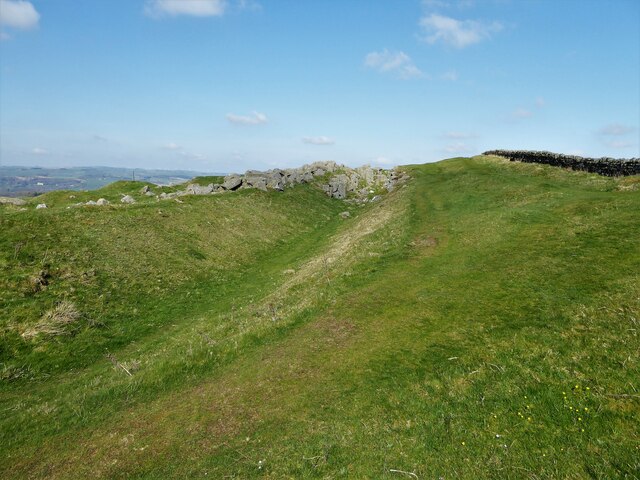
Milecastle 29
Milecastle 29 (Tower Tye) was a milecastle of the Roman Hadrian's Wall. Its remains exist as a mutilated earth platform accentuated by deep robber-trenches...
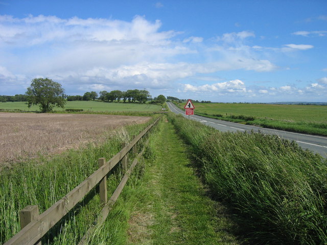
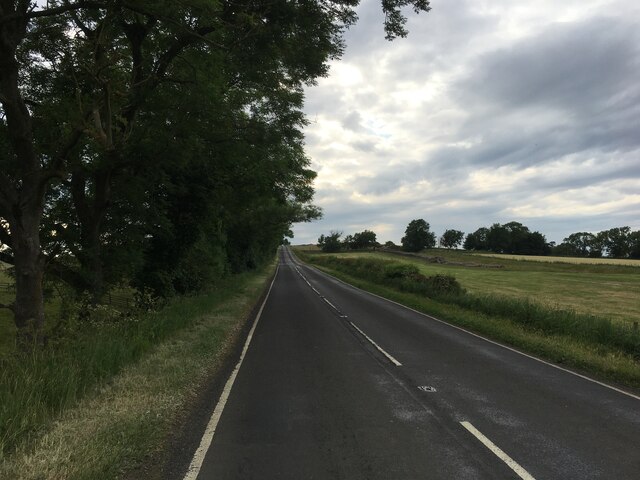
Military Road (Northumberland)
The Military Road is part of the B6318 road in Northumberland, England, which runs from Heddon-on-the-Wall in the east to Greenhead in the west. For much...
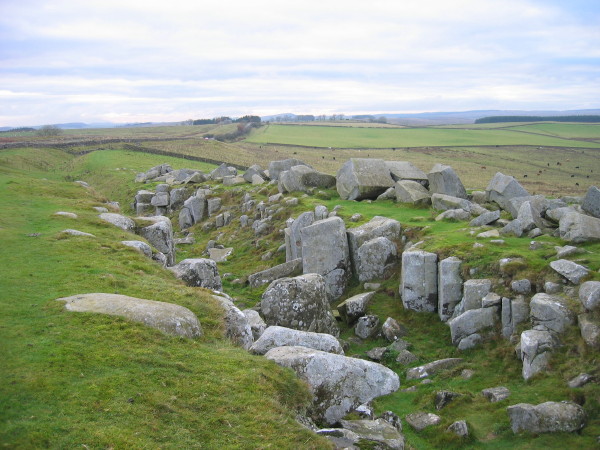
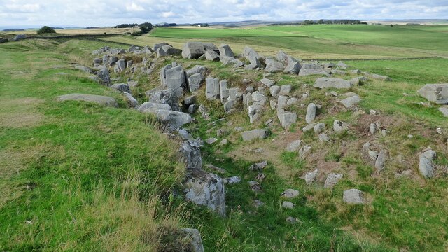
Limestone Corner
Limestone Corner is an area of Hadrian's Wall (and associated defences) at its most northerly point, in present-day northern England. It represents the...

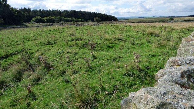
Milecastle 30
Milecastle 30 (Limestone Corner) was a milecastle of the Roman Hadrian's Wall. Its remains exist as an outward-facing scarp with a maximum height of 0...
Nearby Amenities
Located within 500m of 55.032402,-2.182764Have you been to Warden?
Leave your review of Warden below (or comments, questions and feedback).