Hill of Ythsie

Hill, Mountain in Aberdeenshire

Scotland

Hill of Ythsie

Auchedly Whins Auchedly farm with roadside gorse.
Auchedly Whins Credit: Andrew Wood

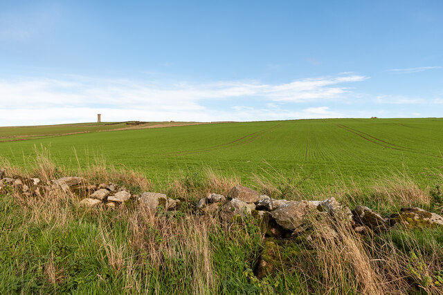
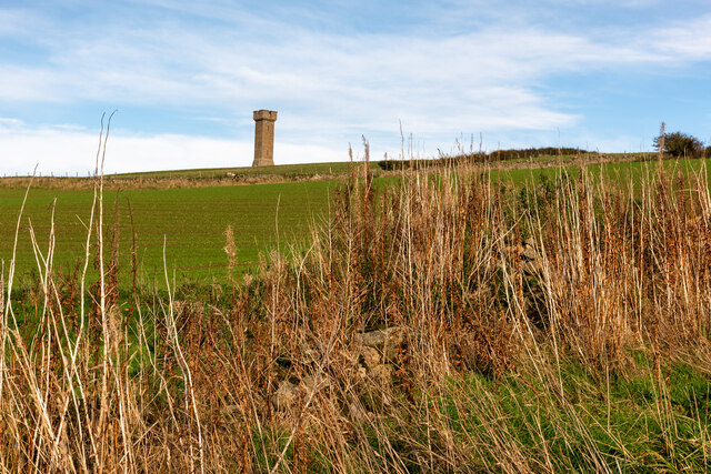
Hill of Ythsie, located in Aberdeenshire, Scotland, is a prominent hill standing at an elevation of approximately 368 meters (1,207 feet) above sea level. This majestic hill is a part of the Bennachie range, which is renowned for its picturesque landscapes and rich historical significance. Hill of Ythsie is situated about 3 kilometers (1.9 miles) northeast of the village of Tarves.

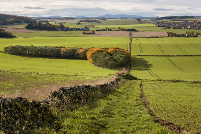
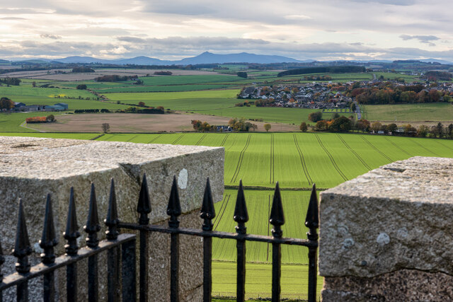
The hill is characterized by its distinct conical shape and offers breathtaking panoramic views of the surrounding countryside. Its slopes are covered in heather, providing a vibrant purple hue during the summer months. The summit of Hill of Ythsie is relatively flat, allowing visitors to take in the stunning vistas and enjoy a sense of tranquility.

The area surrounding the Hill of Ythsie is home to an array of wildlife, including red deer, rabbits, and various bird species. Nestled within the hill's vicinity are several walking trails, inviting hikers and nature enthusiasts to explore the captivating landscapes. These trails provide an opportunity to experience the diverse flora and fauna of the region, as well as learn about the historical and cultural significance of the area.

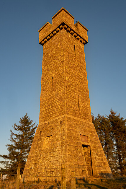
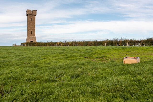
Historically, Hill of Ythsie was used as a site for signal fires, which were lit to warn of impending danger. The hill's strategic location made it an ideal spot for such purposes. Today, it stands as a popular destination for outdoor activities, offering a tranquil retreat for locals and tourists alike. Hill of Ythsie is a must-visit for those seeking a blend of natural beauty, historical significance, and a sense of serenity amidst the Scottish countryside.

If you have any feedback on the listing, please let us know in the comments section below.

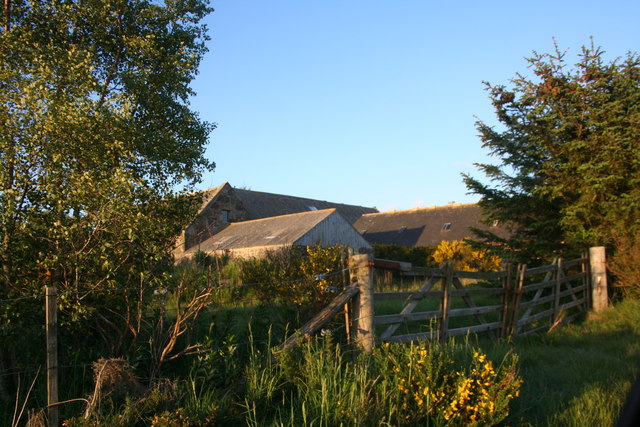
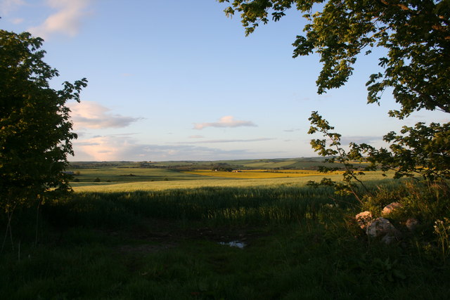
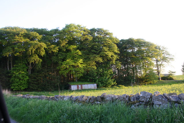
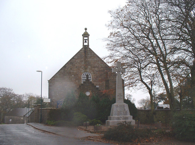
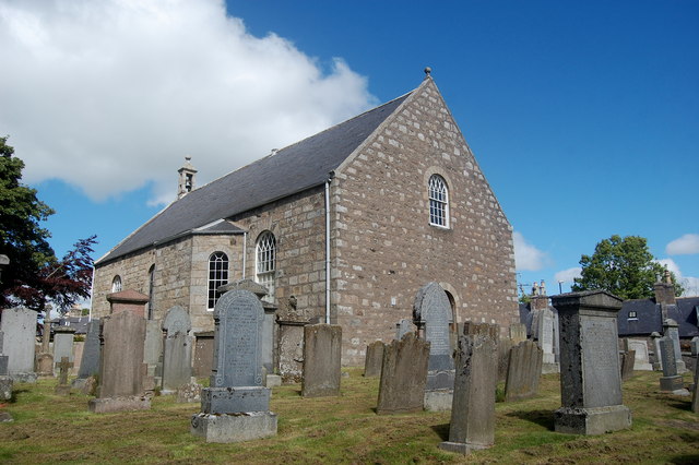
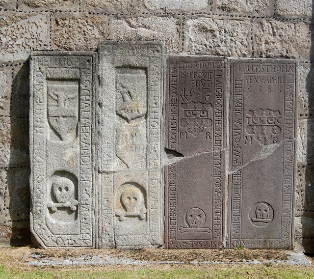
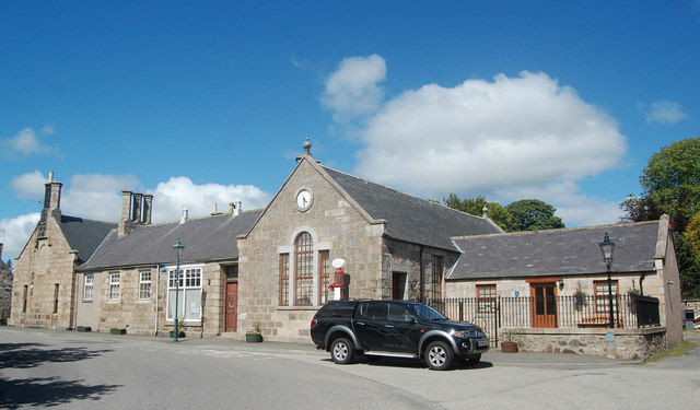
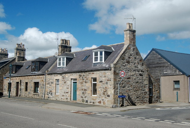
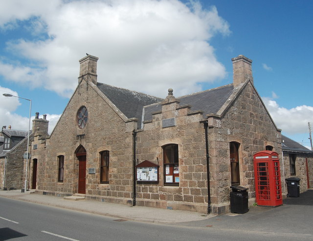
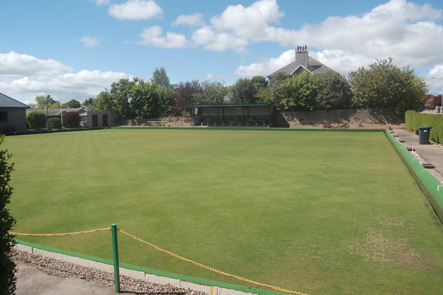
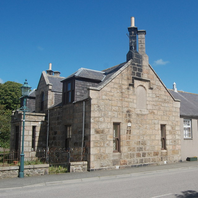
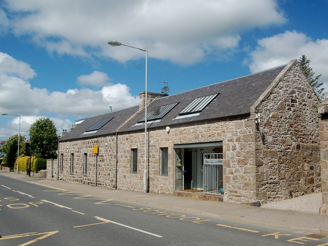
Hill of Ythsie Images

Images are sourced within 2km of 57.373553/-2.194066 or Grid Reference NJ8831. Thanks to Geograph Open Source API. All images are credited.

Auchedly Whins Auchedly farm with roadside gorse.
Auchedly Whins
Auchedly farm with roadside gorse.
Fields by Little Meldrum Farmland near Haddo.
Fields by Little Meldrum
Farmland near Haddo.
Raxton Wood Woodland at Raxton near Haddo and a building almost part of it.
Raxton Wood
Woodland at Raxton near Haddo and a building almost part of it.
Tarves church War Memorial at the front.
Tarves church
War Memorial at the front.
Tarves Kirk Built in 1798 in "preaching-box" style (a simple rectangular floor-plan) to replace a medieval church that had fallen into ruin.  B-listed: <span class="nowrap"><a title="http://data.historic-scotland.gov.uk/pls/htmldb/f?p=2200:15:0::::BUILDING:16004" rel="nofollow ugc noopener" href="http://data.historic-scotland.gov.uk/pls/htmldb/f?p=2200:15:0::::BUILDING:16004">Link</a><img style="margin-left:2px;" alt="External link" title="External link - shift click to open in new window" src="https://s1.geograph.org.uk/img/external.png" width="10" height="10"/></span> .
Tarves Kirk
Built in 1798 in "preaching-box" style (a simple rectangular floor-plan) to replace a medieval church that had fallen into ruin. B-listed: LinkExternal link .
Ancient grave slabs, Tarves Kirk From left to right we see the grave slabs of: 1) Agnes and Isobel Chalmers.  If you use your imagination, you can just make out the Chalmers' arms of: Argent a fesse gules in chief a lion issuing from the shoulders from the top of the fesse sable; 2) Thomas Gardyne, minister at Tarves sometime around 1630; 3) William Craig and Marjory Reith; 4) Thomas Craig and Mariorie Ridell.  The Craigs were apparently heraldic officials, but nothing more appears to be known about them and their arms (ermine, on a fess a dog's head between two crescents) appear to be unrecorded.  For more on these intriguing objects, see: Epitaphs and Inscriptions from Burial Grounds and Old Buildings in the North East of Scotland (vol. 2, p. 349) by Alexander Jervise, publ. Edinburgh 1879 and available as an e-book or free download from archive.org.   Note the "cherry cocking" (decorative chips of coloured stone embedded in the mortar) in the wall of the church behind.
Ancient grave slabs, Tarves Kirk
From left to right we see the grave slabs of: 1) Agnes and Isobel Chalmers. If you use your imagination, you can just make out the Chalmers' arms of: Argent a fesse gules in chief a lion issuing from the shoulders from the top of the fesse sable; 2) Thomas Gardyne, minister at Tarves sometime around 1630; 3) William Craig and Marjory Reith; 4) Thomas Craig and Mariorie Ridell. The Craigs were apparently heraldic officials, but nothing more appears to be known about them and their arms (ermine, on a fess a dog's head between two crescents) appear to be unrecorded. For more on these intriguing objects, see: Epitaphs and Inscriptions from Burial Grounds and Old Buildings in the North East of Scotland (vol. 2, p. 349) by Alexander Jervise, publ. Edinburgh 1879 and available as an e-book or free download from archive.org. Note the "cherry cocking" (decorative chips of coloured stone embedded in the mortar) in the wall of the church behind.
Old Boys' School, The Square, Tarves Dating from ca. 1840 and now the Tarves heritage centre.
Old Boys' School, The Square, Tarves
Dating from ca. 1840 and now the Tarves heritage centre.
Granite cottages, The Square, Tarves On the North side of the square, with Tree Road to the right.
Granite cottages, The Square, Tarves
On the North side of the square, with Tree Road to the right.
Melvin Hall, Tarves The village hall, built from the bequest of George Melvin, the dominie (schoolmaster) at Tarves in the 19th Century.  The Tarves Carnegie Library was located in the small crow-step gable to the left.
Melvin Hall, Tarves
The village hall, built from the bequest of George Melvin, the dominie (schoolmaster) at Tarves in the 19th Century. The Tarves Carnegie Library was located in the small crow-step gable to the left.
Tarves Bowling Club Bowls is a very popular sport in the North East of Scotland.
Tarves Bowling Club
Bowls is a very popular sport in the North East of Scotland.
Former Schoolmaster's house, The Square, Tarves
The Old Bakery, Duthie Road, Tarves It now seems to be offices.
The Old Bakery, Duthie Road, Tarves
It now seems to be offices.
Prop of Ythsie The tower commemorates George Hamilton-Gordon - 4th Earl of Aberdeen: landowner here & UK Prime Minister 1852-1855 who led Britain into the Crimean War against Russia - which led to his political downfall -but not his wealthy landowner status in these parts.
Prop of Ythsie
The tower commemorates George Hamilton-Gordon - 4th Earl of Aberdeen: landowner here & UK Prime Minister 1852-1855 who led Britain into the Crimean War against Russia - which led to his political downfall -but not his wealthy landowner status in these parts.
Wall on Hill of Ythsie On the west side of Hill of Ythsie looking toward the village of Tarves with Bennachie in the distance
Wall on Hill of Ythsie
On the west side of Hill of Ythsie looking toward the village of Tarves with Bennachie in the distance
Prop of Ythsie Prop of Ythsie is a monument, built in 1861-2, and erected to the memory of the Prime Minister, the Fourth Earl of Aberdeen. A square tower of coursed red granite with dressed quoins and a corbelled and crenellated parapet. The lower stage is steeply battered. The Prop is approximately 25m in height. It has an internal spiral stair, leading to an external viewing area with parapet. A plaque over the entrance reads: 'To George Hamilton Gordon, Fourth Earl of Aberdeen, By his attached and Grateful Tenantry. He was born at Edinburgh 28 Jan 1784 and died at London 14 Dec 1860.'. Repair and maintenance to the Prop was carried out in August 2012.
Prop of Ythsie
Prop of Ythsie is a monument, built in 1861-2, and erected to the memory of the Prime Minister, the Fourth Earl of Aberdeen. A square tower of coursed red granite with dressed quoins and a corbelled and crenellated parapet. The lower stage is steeply battered. The Prop is approximately 25m in height. It has an internal spiral stair, leading to an external viewing area with parapet. A plaque over the entrance reads: 'To George Hamilton Gordon, Fourth Earl of Aberdeen, By his attached and Grateful Tenantry. He was born at Edinburgh 28 Jan 1784 and died at London 14 Dec 1860.'. Repair and maintenance to the Prop was carried out in August 2012.
Prop of Ythsie Looking west on the viewing platform on the top of the Prop of Ythsie
Prop of Ythsie
Looking west on the viewing platform on the top of the Prop of Ythsie
Hill of Ythsie Field on the west slope of Hill of Ythsie with Prop of Ythsie visible on the summit.
Hill of Ythsie
Field on the west slope of Hill of Ythsie with Prop of Ythsie visible on the summit.
Hill of Ythsie Field boundary on Hill of Ythsie with Prop of Ythsie visible on the summit.
Hill of Ythsie
Field boundary on Hill of Ythsie with Prop of Ythsie visible on the summit.
Show me another place!

Hill of Ythsie is located at Grid Ref: NJ8831 (Lat: 57.373553, Lng: -2.194066)

Unitary Authority: Aberdeenshire

Police Authority: North East

What 3 Words

///generally.digit.depend. Near Pitmedden, Aberdeenshire

Related Wikis

Ythsie

Ythsie is a hamlet in Aberdeenshire, Scotland, about one mile east of Tarves.To the north of the hamlet, on the Hill of Ythsie, is a tower called the Prop...

Tarves

Tarves (; Scottish Gaelic: Tarbhais), Aberdeenshire, is a small village, situated in the Formartine area of North East Scotland and lies between Oldmeldrum...

Dumbreck Castle

Dumbreck Castle was a tower house, dating from the 16th century, around 3.5 miles (5.6 km) west of Ellon, in Aberdeenshire, Scotland.Alternative names...

Tillyhilt Castle

Tillyhilt Castle was a 16th-century tower house 6.5 miles (10.5 km) west of Ellon, 1 mile (1.6 km) northwest of Tarves, Aberdeenshire, Scotland. ��2�...

Nearby Amenities

Located within 500m of 57.373553,-2.194066
Prop of Ythsie
Alt Name: Monument To The Fourth Earl Of Aberdeen
Historic: monument
Ref Canmore: 122092
Start Date: 1861
Wikidata: Q56620321
Lat/Long: 57.3735281/-2.1939484
The data included in this document is from www.openstreetmap.org. The data is made available under ODbL.

Have you been to Hill of Ythsie?

Leave your review of Hill of Ythsie below (or comments, questions and feedback).