Barford

Settlement in Hampshire East Hampshire

England

Barford

Bacon Lane, near Farnham Bacon Lane is a minor lane through countryside on the borers of Hampshire and Surrey.  At this point it is in Hampshire, but will cross the county boundary into Surrey less than a kilometre away.
Bacon Lane, near Farnham Credit: Malc McDonald

Barford is a small village located in the county of Hampshire, England. Situated on the banks of the River Test, it is renowned for its picturesque and idyllic setting. The village is nestled in the Test Valley, surrounded by lush green meadows and rolling hills, offering breathtaking views of the countryside.

Historically, Barford has a rich heritage dating back to the medieval period. It was mentioned in the Domesday Book of 1086 as "Bereford," signifying its significance as a river crossing point. The village is dotted with charming thatched cottages and traditional English architecture, giving it a quintessential rural charm.

Despite its small size, Barford offers a range of amenities to its residents and visitors. The village boasts a well-maintained village green, where locals often gather for community events and activities. There is a local pub, The Swan Inn, which serves traditional English food and drinks, providing a cozy and welcoming atmosphere for both locals and tourists.

Nature enthusiasts are drawn to Barford for its stunning natural surroundings. The River Test, renowned for its crystal-clear waters and diverse wildlife, is a popular spot for fishing and leisurely walks. The village is also situated close to the South Downs National Park, offering ample opportunities for hiking, cycling, and enjoying the great outdoors.

Overall, Barford is a charming and tranquil village, perfect for those seeking a peaceful retreat in the heart of the Hampshire countryside. Its rich history, stunning landscapes, and warm community make it a desirable destination for both residents and visitors alike.

If you have any feedback on the listing, please let us know in the comments section below.
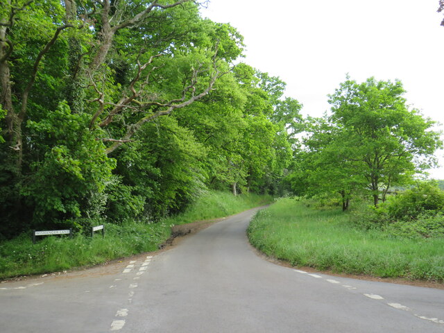
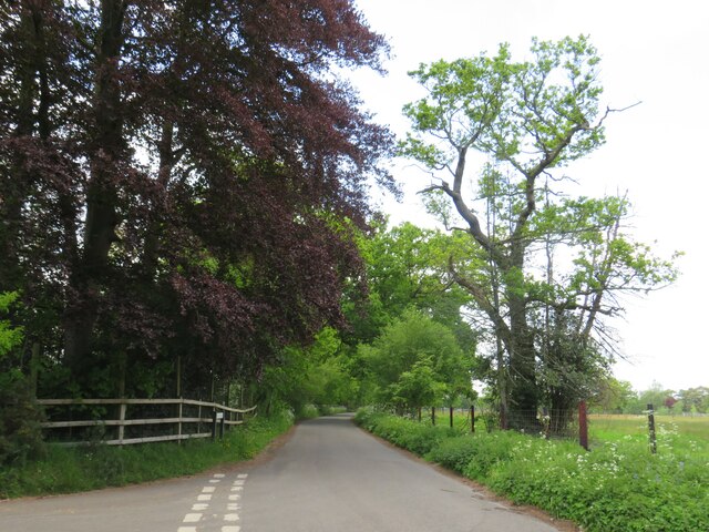
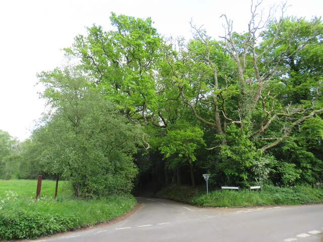
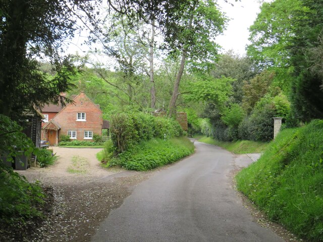
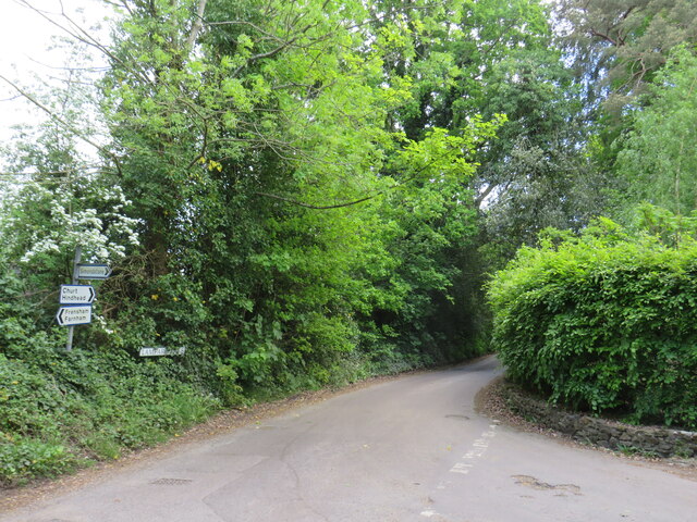
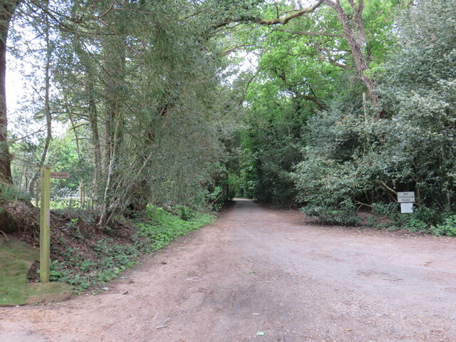
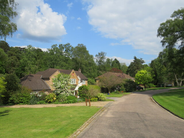
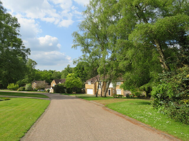
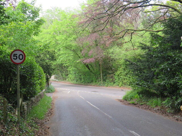
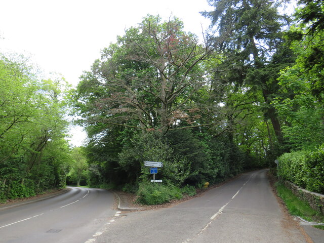
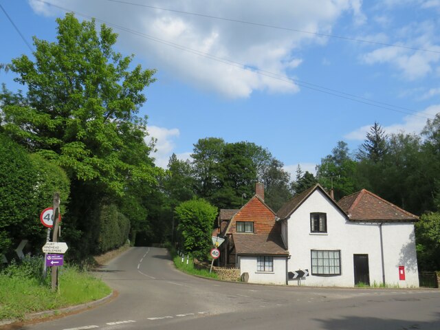
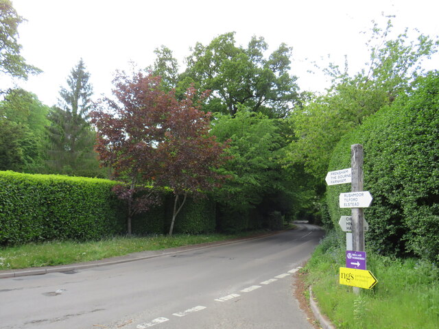
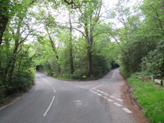
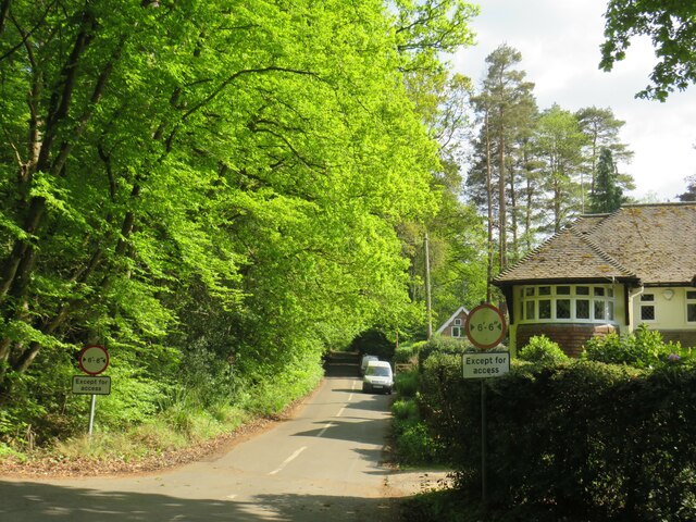
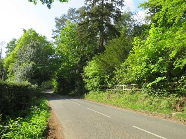
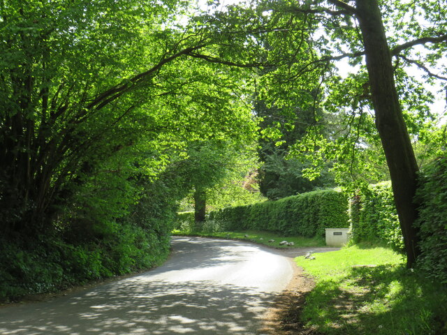
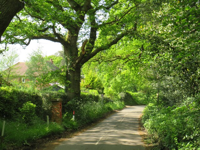
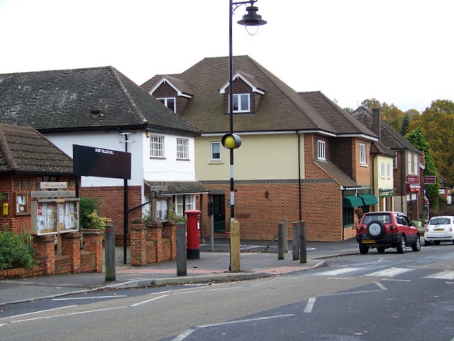
Barford Images

Images are sourced within 2km of 51.133522/-0.78226 or Grid Reference SU8537. Thanks to Geograph Open Source API. All images are credited.

Bacon Lane, near Farnham Bacon Lane is a minor lane through countryside on the borers of Hampshire and Surrey.  At this point it is in Hampshire, but will cross the county boundary into Surrey less than a kilometre away.
Bacon Lane, near Farnham
Bacon Lane is a minor lane through countryside on the borers of Hampshire and Surrey. At this point it is in Hampshire, but will cross the county boundary into Surrey less than a kilometre away.
Bacon Lane, near Farnham Bacon Lane is a minor lane through countryside on the borders of Hampshire and Surrey.  Here, it is in Hampshire but will cross the boundary into Surrey about a kilometre ahead.
Bacon Lane, near Farnham
Bacon Lane is a minor lane through countryside on the borders of Hampshire and Surrey. Here, it is in Hampshire but will cross the boundary into Surrey about a kilometre ahead.
Bacon Lane, near Farnham Bacon Lane is a minor lane through countryside on the borders of Hampshire and Surrey.  In this view, it is in Hampshire.
Bacon Lane, near Farnham
Bacon Lane is a minor lane through countryside on the borders of Hampshire and Surrey. In this view, it is in Hampshire.
Wishanger Lane, near Farnham Wishanger Lane is a minor lane through countryside and woodland on the borders of Hampshire and Surrey.  Here, as it disappears into the trees, it is in Hampshire but will cross the boundary into Surrey less than half a kilometre away.
Wishanger Lane, near Farnham
Wishanger Lane is a minor lane through countryside and woodland on the borders of Hampshire and Surrey. Here, as it disappears into the trees, it is in Hampshire but will cross the boundary into Surrey less than half a kilometre away.
Wishanger Lane, near Farnham Wishanger Lane is a minor road through countryside on the borders of Hampshire and Surrey.  Here the lane passes a house on the Hampshire side of the border.  The lane will cross into Surrey about 200 metres further ahead.
Wishanger Lane, near Farnham
Wishanger Lane is a minor road through countryside on the borders of Hampshire and Surrey. Here the lane passes a house on the Hampshire side of the border. The lane will cross into Surrey about 200 metres further ahead.
Lampard Lane, Churt, near Farnham Lampard Lane is a minor lane on the edge of the Surrey village of Churt, very close to the border with Hampshire.
Lampard Lane, Churt, near Farnham
Lampard Lane is a minor lane on the edge of the Surrey village of Churt, very close to the border with Hampshire.
Public bridleway, Churt, near Farnham A public bridleway along a driveway on the edge of the village of Churt, in Surrey.  This location is very close to the border with Hampshire.
Public bridleway, Churt, near Farnham
A public bridleway along a driveway on the edge of the village of Churt, in Surrey. This location is very close to the border with Hampshire.
Star Hill Drive, Churt, near Farnham Star Hill Drive is a residential cul-de-sac on the edge of the village of Churt in Surrey.
Star Hill Drive, Churt, near Farnham
Star Hill Drive is a residential cul-de-sac on the edge of the village of Churt in Surrey.
Star Hill Drive, Churt, near Farnham Star Hill Drive is a residential cul-de-sac on the edge of the village of Churt in Surrey.
Star Hill Drive, Churt, near Farnham
Star Hill Drive is a residential cul-de-sac on the edge of the village of Churt in Surrey.
Star Hill, Churt, near Farnham Star Hill is a minor road on the edge of the village of Churt, in Surrey.  Here, the road approaches a junction with the A287.  The sign to the left of the image is a "repeater" sign reminding motorists that a speed limit of 50 miles per hour applies here.
Star Hill, Churt, near Farnham
Star Hill is a minor road on the edge of the village of Churt, in Surrey. Here, the road approaches a junction with the A287. The sign to the left of the image is a "repeater" sign reminding motorists that a speed limit of 50 miles per hour applies here.
Road junction in Churt, near Farnham A road junction on the edge of the village of Churt in Surrey.  The road to the left is the A287.
Road junction in Churt, near Farnham
A road junction on the edge of the village of Churt in Surrey. The road to the left is the A287.
The Old Post Office, Churt, near Farnham The Old Post Office stands at the corner of Jumps Road in the Surrey village of Churt.  As its name suggests, this building was once a post office.  It stall has a post box in the wall, to the right of the image.

The road passing in the foreground is the A287.
The Old Post Office, Churt, near Farnham
The Old Post Office stands at the corner of Jumps Road in the Surrey village of Churt. As its name suggests, this building was once a post office. It stall has a post box in the wall, to the right of the image. The road passing in the foreground is the A287.
A287 at Churt, near Farnham The A287 road at Churt in Surrey.
A287 at Churt, near Farnham
The A287 road at Churt in Surrey.
Road junction near Farnham A junction of minor roads in woodland, near the Surrey village of Churt.
Road junction near Farnham
A junction of minor roads in woodland, near the Surrey village of Churt.
Crabtree Lane, Churt, near Farnham Crabtree Lane is a minor lane on the edge of the village of Churt in Surrey.

A width restriction of 6 feet and 6 inches applies to prohibit large vehicles from using this road.  Vehicles needing to access properties along this road are exempt from the restriction.
Crabtree Lane, Churt, near Farnham
Crabtree Lane is a minor lane on the edge of the village of Churt in Surrey. A width restriction of 6 feet and 6 inches applies to prohibit large vehicles from using this road. Vehicles needing to access properties along this road are exempt from the restriction.
Jumps Road, Churt, near Farnham Jumps Road is a minor road through woodland on the edge of the village of Churt, in Surrey.
Jumps Road, Churt, near Farnham
Jumps Road is a minor road through woodland on the edge of the village of Churt, in Surrey.
Hale House Lane, Churt, near Farnham Hale House Lane is a minor road on the edge of the village of Churt, in Surrey.
Hale House Lane, Churt, near Farnham
Hale House Lane is a minor road on the edge of the village of Churt, in Surrey.
Crabtree Lane, Churt, near Farnham Crabtree Lane is a minor road on the edge of the village of Churt, in Surrey.
Crabtree Lane, Churt, near Farnham
Crabtree Lane is a minor road on the edge of the village of Churt, in Surrey.
Show me another place!

Barford is located at Grid Ref: SU8537 (Lat: 51.133522, Lng: -0.78226)

Administrative County: Hampshire

District: East Hampshire

Police Authority: Hampshire

What 3 Words

///fizzled.exclaim.inversion. Near Churt, Surrey

Related Wikis

Nearby Amenities

Located within 500m of 51.133522,-0.78226
Barford
Building: yes
Source: npe
Lat/Long: 51.1349674/-0.7834561
Pub
The Crossways
Addr City: Farnham
Addr Housename: The Crossways
Addr Place: Churt
Addr Postcode: GU10 2JS
Fhrs Id: 170627
Indoor Seating: yes
Outdoor Seating: yes
Website: http://www.weydonian.net/crossways/
Lat/Long: 51.136867/-0.7789418
Churt News
Addr City: Farnham
Addr Place: Churt
Addr Postcode: GU10 2JA
Addr Street: Crossways
Shop: convenience
Lat/Long: 51.1371028/-0.7792729
Bus Stop
Butts Farm
Naptan AtcoCode: 40004411320A
Naptan Bearing: N
Naptan CommonName: Butts Farm
Naptan Indicator: Just after
Naptan Landmark: Butts Farm
Naptan NaptanCode: surdwmam
Naptan Street: Churt Road
Naptan Verified: no
Source: naptan_import
Lat/Long: 51.1342141/-0.775947
Bus Stop
Crossways
Bench: yes
Bin: yes
Naptan AtcoCode: 40004411321A
Naptan Bearing: N
Naptan CommonName: Crossways
Naptan Indicator: Just after
Naptan Landmark: Crossways
Naptan NaptanCode: surdwmap
Naptan Street: Churt Road
Naptan Verified: no
Shelter: yes
Source: naptan_import
Lat/Long: 51.1377813/-0.7799694
Bus Stop
Butts Farm
Naptan AtcoCode: 40004411958A
Naptan Bearing: SE
Naptan CommonName: Butts Farm
Naptan Indicator: adj
Naptan Landmark: Butts Farm
Naptan NaptanCode: surgmtaw
Naptan Street: Churt Road
Naptan Verified: no
Source: naptan_import
Lat/Long: 51.1339955/-0.7756813
Post Box
Brand: Royal Mail
Brand Wikidata: Q638098
Collection Plate: not visible
Collection Times: Mo-Fr 16:30; Sa 10:30
Note: There is a notice on this postbox on 10-09-2022 that the final collection will be made on Mo-Fr at 09:00 and on Sa at 07:00. But the postbox plate has not yet had the collection times updated.
Operator: Royal Mail
Operator Wikidata: Q638098
Post Box Type: pillar
Ref: GU10 27
Royal Cypher: GR
Royal Cypher Wikidata: Q33102273
Source: survey
Survey Point: 2022-09-10
Lat/Long: 51.1375258/-0.7796121
Barrier: stile
Material: wood
Lat/Long: 51.1323503/-0.7887385
Post Box
Collection Times: Mo-Fr 16:15; Sa 08:00
Post Box Type: wall
Ref: GU26 63
Royal Cypher: EVIIR
Royal Cypher Wikidata: Q33102324
Source: survey
Lat/Long: 51.1309076/-0.7820902
Crossing
Crossing: uncontrolled
Crossing Ref: zebra
Kerb: lowered
Sloped Curb: yes
Source: Bing
Lat/Long: 51.1375375/-0.779712
Give Way
Lat/Long: 51.1349101/-0.7838854
Crossing
Crossing: unmarked
Kerb: lowered
Sloped Curb: yes
Lat/Long: 51.137236/-0.77848
Crossing
Crossing: unmarked
Kerb: lowered
Sloped Curb: yes
Lat/Long: 51.137491/-0.7796048
Crossing
Crossing: unmarked
Kerb: lowered
Sloped Curb: yes
Lat/Long: 51.1376324/-0.7797108
Coombe Farm
Landuse: farm
Note Retag: CS #48756035
Source: OS_OpenData_StreetView
Lat/Long: 51.1321952/-0.7880865
Miscellanea of Churt;Churt Garden Machinery
Addr Housename: Miscellanea;Churt Garden Machinery Ltd
Addr Postcode: GU10 2JA
Addr Street: Crossways
Opening Hours: Mo-Fr 08:30-17:00; Sa 09:30-16:00
Phone: +44 1428 714 014;+441428712116
Shop: yes
Website: https://www.miscellanea.co.uk/
Lat/Long: 51.1372226/-0.7793906
Restaurant
Pipasha Tandoori
Addr City: Farnham
Addr Place: Churt
Addr Postcode: GU10 2JA
Addr Street: Crossways
Cuisine: indian
Fhrs Id: 183491
Website: http://www.pipashatandoori.co.uk/
Lat/Long: 51.1371533/-0.7793398
Give Way
Source: Bing
Lat/Long: 51.1369035/-0.7792103
Give Way
Source: Bing
Lat/Long: 51.136859/-0.7792976
The data included in this document is from www.openstreetmap.org. The data is made available under ODbL.

Have you been to Barford?

Leave your review of Barford below (or comments, questions and feedback).