Folly Plantation

Wood, Forest in Hampshire East Hampshire

England

Folly Plantation

Bacon Lane, near Farnham Bacon Lane is a minor lane through countryside on the borders of Hampshire and Surrey.  Here, it is in Hampshire but will cross the boundary into Surrey about a kilometre ahead.
Bacon Lane, near Farnham Credit: Malc McDonald

Folly Plantation is a picturesque woodland located in Hampshire, England. Covering an area of approximately 200 acres, it is renowned for its natural beauty and ancient trees. The plantation is nestled in the heart of Hampshire's countryside, providing a peaceful and serene escape for visitors.

The woodland is predominantly made up of oak, beech, and birch trees, which create a dense canopy overhead. These trees have been growing for centuries and their majestic presence adds to the charm of the plantation. The forest floor is adorned with a carpet of wildflowers, creating a vibrant burst of colors throughout the seasons.

Folly Plantation is also home to a diverse range of wildlife. Visitors may spot deer, squirrels, and a variety of bird species as they explore the woodland. The plantation has been carefully managed to provide a suitable habitat for these creatures, ensuring their protection and preservation.

In addition to its natural features, Folly Plantation offers several walking trails for visitors to explore. These trails wind through the woodland, providing a chance to immerse oneself in nature and enjoy the tranquility of the surroundings. The plantation also has picnic areas and designated spots for nature observation, making it an ideal destination for families and nature enthusiasts.

Folly Plantation holds a rich history, with evidence of human habitation dating back to prehistoric times. The plantation's ancient trees and archaeological sites contribute to its cultural significance. Overall, Folly Plantation is a hidden gem in Hampshire, offering a charming and immersive experience for those seeking solace in nature's embrace.

If you have any feedback on the listing, please let us know in the comments section below.

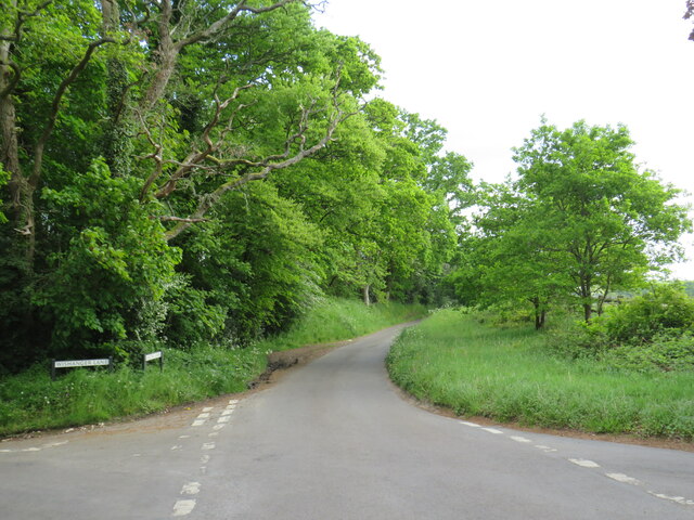
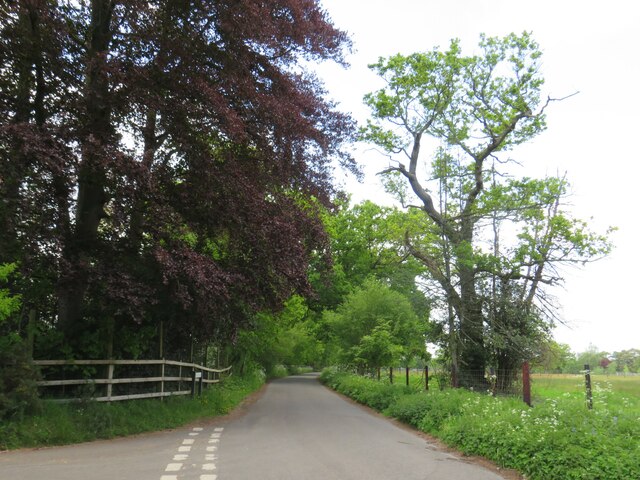
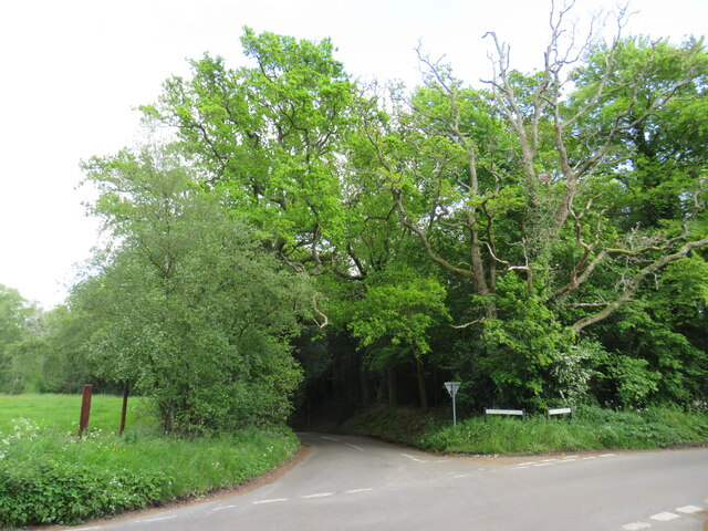
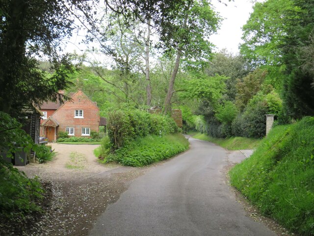
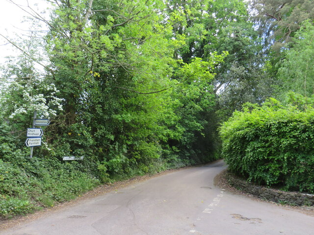
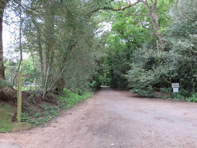
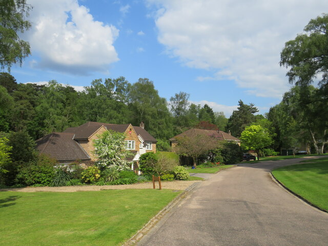
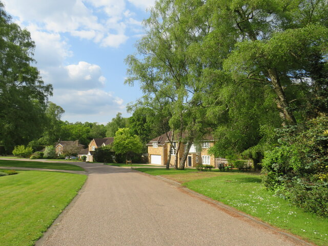
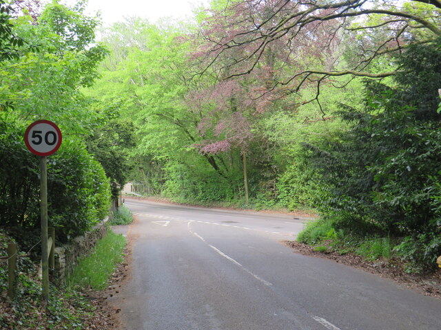
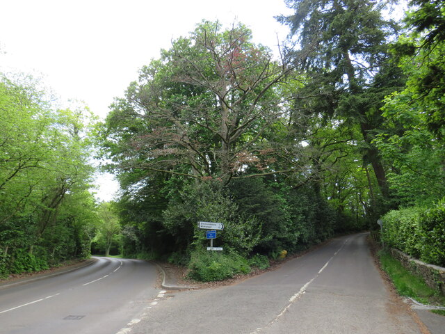
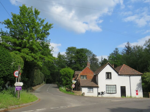
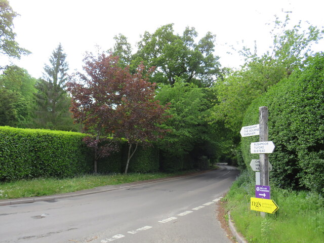
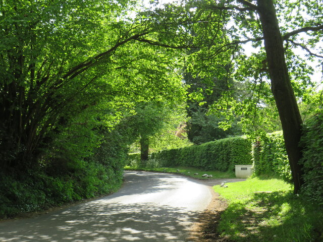
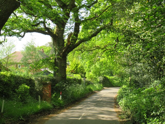
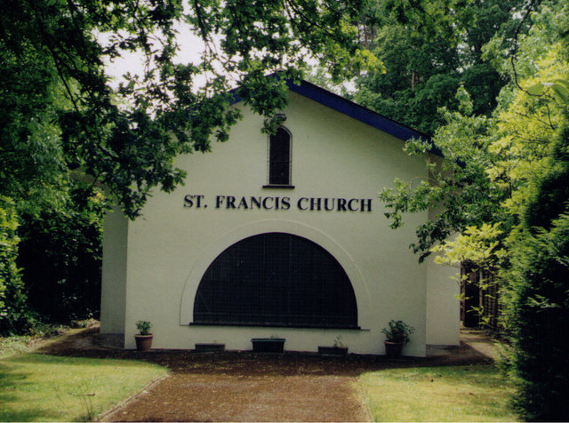
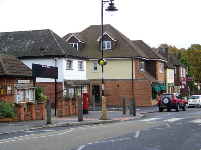
Folly Plantation Images

Images are sourced within 2km of 51.128693/-0.78606643 or Grid Reference SU8537. Thanks to Geograph Open Source API. All images are credited.

Bacon Lane, near Farnham Bacon Lane is a minor lane through countryside on the borders of Hampshire and Surrey.  Here, it is in Hampshire but will cross the boundary into Surrey about a kilometre ahead.
Bacon Lane, near Farnham
Bacon Lane is a minor lane through countryside on the borders of Hampshire and Surrey. Here, it is in Hampshire but will cross the boundary into Surrey about a kilometre ahead.
Bacon Lane, near Farnham Bacon Lane is a minor lane through countryside on the borders of Hampshire and Surrey.  In this view, it is in Hampshire.
Bacon Lane, near Farnham
Bacon Lane is a minor lane through countryside on the borders of Hampshire and Surrey. In this view, it is in Hampshire.
Wishanger Lane, near Farnham Wishanger Lane is a minor lane through countryside and woodland on the borders of Hampshire and Surrey.  Here, as it disappears into the trees, it is in Hampshire but will cross the boundary into Surrey less than half a kilometre away.
Wishanger Lane, near Farnham
Wishanger Lane is a minor lane through countryside and woodland on the borders of Hampshire and Surrey. Here, as it disappears into the trees, it is in Hampshire but will cross the boundary into Surrey less than half a kilometre away.
Wishanger Lane, near Farnham Wishanger Lane is a minor road through countryside on the borders of Hampshire and Surrey.  Here the lane passes a house on the Hampshire side of the border.  The lane will cross into Surrey about 200 metres further ahead.
Wishanger Lane, near Farnham
Wishanger Lane is a minor road through countryside on the borders of Hampshire and Surrey. Here the lane passes a house on the Hampshire side of the border. The lane will cross into Surrey about 200 metres further ahead.
Lampard Lane, Churt, near Farnham Lampard Lane is a minor lane on the edge of the Surrey village of Churt, very close to the border with Hampshire.
Lampard Lane, Churt, near Farnham
Lampard Lane is a minor lane on the edge of the Surrey village of Churt, very close to the border with Hampshire.
Public bridleway, Churt, near Farnham A public bridleway along a driveway on the edge of the village of Churt, in Surrey.  This location is very close to the border with Hampshire.
Public bridleway, Churt, near Farnham
A public bridleway along a driveway on the edge of the village of Churt, in Surrey. This location is very close to the border with Hampshire.
Star Hill Drive, Churt, near Farnham Star Hill Drive is a residential cul-de-sac on the edge of the village of Churt in Surrey.
Star Hill Drive, Churt, near Farnham
Star Hill Drive is a residential cul-de-sac on the edge of the village of Churt in Surrey.
Star Hill Drive, Churt, near Farnham Star Hill Drive is a residential cul-de-sac on the edge of the village of Churt in Surrey.
Star Hill Drive, Churt, near Farnham
Star Hill Drive is a residential cul-de-sac on the edge of the village of Churt in Surrey.
Star Hill, Churt, near Farnham Star Hill is a minor road on the edge of the village of Churt, in Surrey.  Here, the road approaches a junction with the A287.  The sign to the left of the image is a "repeater" sign reminding motorists that a speed limit of 50 miles per hour applies here.
Star Hill, Churt, near Farnham
Star Hill is a minor road on the edge of the village of Churt, in Surrey. Here, the road approaches a junction with the A287. The sign to the left of the image is a "repeater" sign reminding motorists that a speed limit of 50 miles per hour applies here.
Road junction in Churt, near Farnham A road junction on the edge of the village of Churt in Surrey.  The road to the left is the A287.
Road junction in Churt, near Farnham
A road junction on the edge of the village of Churt in Surrey. The road to the left is the A287.
The Old Post Office, Churt, near Farnham The Old Post Office stands at the corner of Jumps Road in the Surrey village of Churt.  As its name suggests, this building was once a post office.  It stall has a post box in the wall, to the right of the image.

The road passing in the foreground is the A287.
The Old Post Office, Churt, near Farnham
The Old Post Office stands at the corner of Jumps Road in the Surrey village of Churt. As its name suggests, this building was once a post office. It stall has a post box in the wall, to the right of the image. The road passing in the foreground is the A287.
A287 at Churt, near Farnham The A287 road at Churt in Surrey.
A287 at Churt, near Farnham
The A287 road at Churt in Surrey.
Hale House Lane, Churt, near Farnham Hale House Lane is a minor road on the edge of the village of Churt, in Surrey.
Hale House Lane, Churt, near Farnham
Hale House Lane is a minor road on the edge of the village of Churt, in Surrey.
Crabtree Lane, Churt, near Farnham Crabtree Lane is a minor road on the edge of the village of Churt, in Surrey.
Crabtree Lane, Churt, near Farnham
Crabtree Lane is a minor road on the edge of the village of Churt, in Surrey.
St Francis, Headley Down Erected in 1920.
St Francis, Headley Down
Erected in 1920.
Conifers on Ludshott Common This seems like an impenetrable band of trees on the western side of the common.  But it is a thin layer hiding the common from the houses of Headley Down.
Conifers on Ludshott Common
This seems like an impenetrable band of trees on the western side of the common. But it is a thin layer hiding the common from the houses of Headley Down.
Path towards Headley Down Ludshott Common, where we are walking, comes to an abrupt halt on its western side.  There are many house in Headley Down, and we just get a glimpse of one here.
Path towards Headley Down
Ludshott Common, where we are walking, comes to an abrupt halt on its western side. There are many house in Headley Down, and we just get a glimpse of one here.
Track on Ludshott Common The western and northern sides of the common are open, with good wide tracks (often bridleways) on sandy soil.
Track on Ludshott Common
The western and northern sides of the common are open, with good wide tracks (often bridleways) on sandy soil.
Show me another place!

Folly Plantation is located at Grid Ref: SU8537 (Lat: 51.128693, Lng: -0.78606643)

Administrative County: Hampshire

District: East Hampshire

Police Authority: Hampshire

What 3 Words

///emphasis.baseballs.skip. Near Churt, Surrey

Related Wikis

Nearby Amenities

Located within 500m of 51.128693,-0.78606643
Barrier: stile
Lat/Long: 51.12549/-0.7820753
Barrier: stile
Material: wood
Lat/Long: 51.1323503/-0.7887385
Post Box
Collection Times: Mo-Fr 16:15; Sa 08:00
Post Box Type: wall
Ref: GU26 63
Royal Cypher: EVIIR
Royal Cypher Wikidata: Q33102324
Source: survey
Lat/Long: 51.1309076/-0.7820902
Lower Coombe Farm
Landuse: farm
Note Retag: CS #48756035
Source: OS_OpenData_StreetView
Lat/Long: 51.1325453/-0.7897173
Coombe Farm
Landuse: farm
Note Retag: CS #48756035
Source: OS_OpenData_StreetView
Lat/Long: 51.1321952/-0.7880865
The data included in this document is from www.openstreetmap.org. The data is made available under ODbL.

Have you been to Folly Plantation?

Leave your review of Folly Plantation below (or comments, questions and feedback).