Barford Pond

Lake, Pool, Pond, Freshwater Marsh in Surrey Waverley

England

Barford Pond

Bacon Lane, near Farnham Bacon Lane is a minor lane through countryside on the borders of Hampshire and Surrey.  Here, it is in Hampshire but will cross the boundary into Surrey about a kilometre ahead.
Bacon Lane, near Farnham Credit: Malc McDonald

Barford Pond is a picturesque freshwater pond located in Surrey, England. Spanning an area of approximately 2 acres, it is known for its tranquil and serene environment, making it a popular destination for nature enthusiasts and visitors seeking a peaceful escape from the bustling city life.

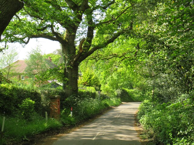
Situated amidst lush greenery and surrounded by tall trees, Barford Pond offers a stunning natural landscape. The crystal-clear water of the pond reflects the surrounding vegetation, creating a mesmerizing sight. The pond is home to a variety of aquatic plants, including lily pads and water lilies, which add to its beauty.

As a freshwater ecosystem, Barford Pond provides a habitat for numerous species of fish, amphibians, and insects. Anglers frequent the pond to try their luck in catching fish such as carp, roach, and perch. Birdwatchers can also spot a diverse range of water birds, including ducks, swans, and herons, which visit the pond for feeding or nesting.

Aside from its scenic beauty and wildlife, Barford Pond also serves as a recreational area. Visitors can enjoy activities such as picnicking by the water's edge, strolling along the designated walking trails, or simply sitting on one of the benches to admire the view.

Barford Pond is easily accessible, with nearby parking facilities and public transportation options. The site is well-maintained, with designated areas for waste disposal and picnic facilities. Whether one seeks solitude, wildlife observation, or a peaceful day out with family and friends, Barford Pond offers a delightful experience in the heart of Surrey's natural beauty.

If you have any feedback on the listing, please let us know in the comments section below.
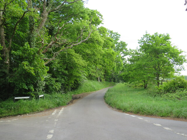
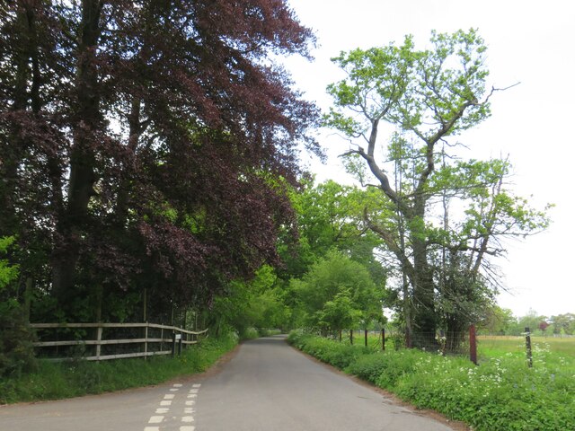
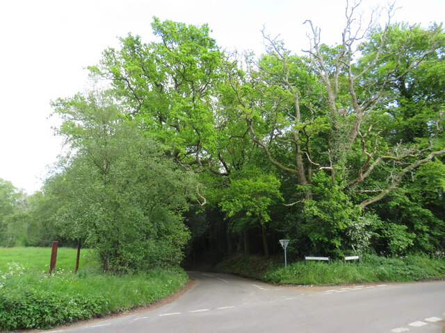
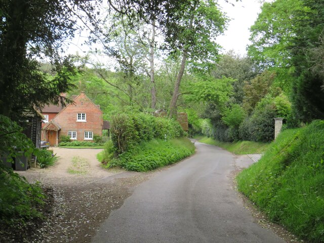
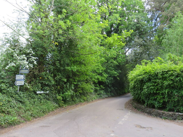
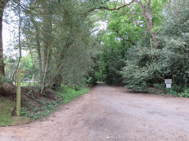
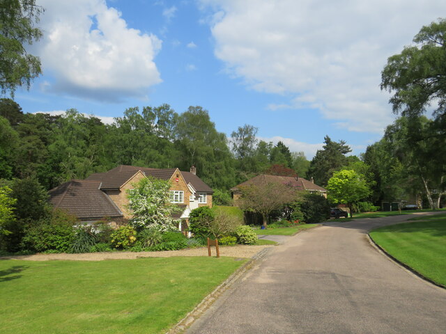
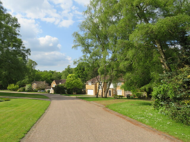
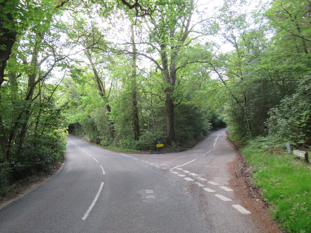
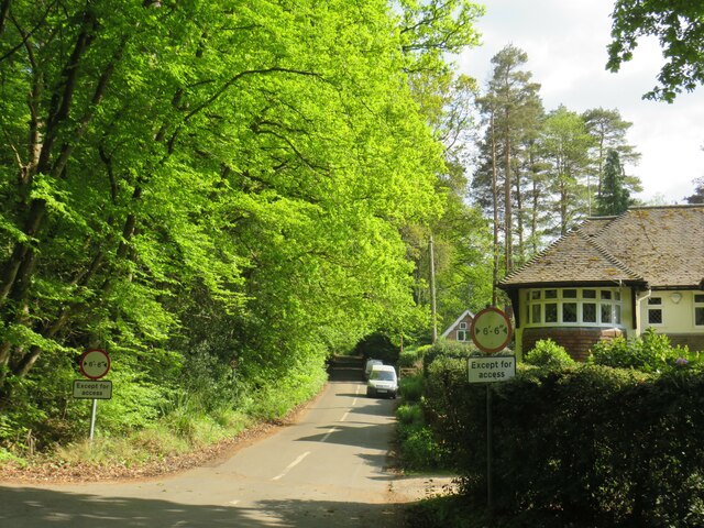
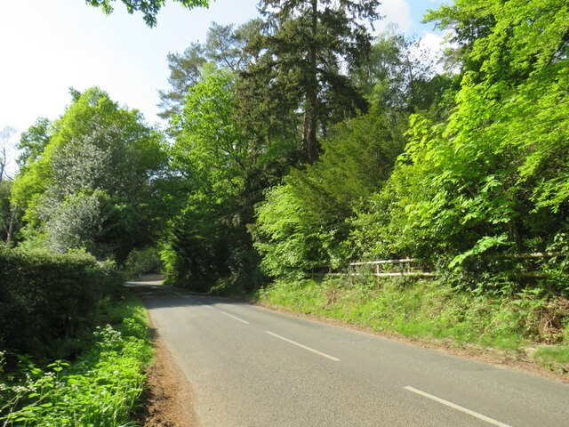
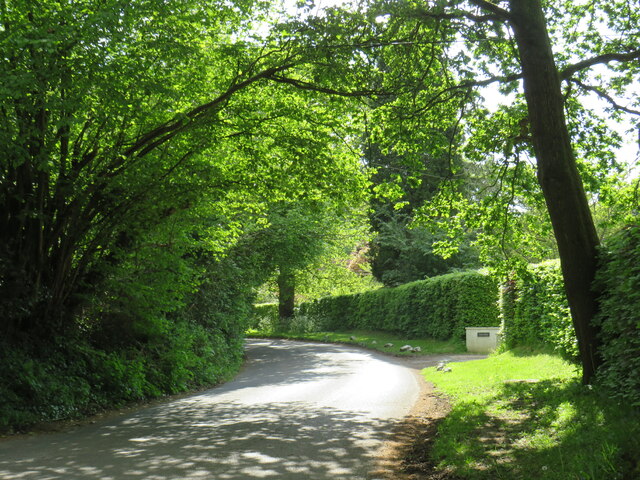
Barford Pond Images

Images are sourced within 2km of 51.130387/-0.78204898 or Grid Reference SU8537. Thanks to Geograph Open Source API. All images are credited.

Bacon Lane, near Farnham Bacon Lane is a minor lane through countryside on the borders of Hampshire and Surrey.  Here, it is in Hampshire but will cross the boundary into Surrey about a kilometre ahead.
Bacon Lane, near Farnham
Bacon Lane is a minor lane through countryside on the borders of Hampshire and Surrey. Here, it is in Hampshire but will cross the boundary into Surrey about a kilometre ahead.
Bacon Lane, near Farnham Bacon Lane is a minor lane through countryside on the borders of Hampshire and Surrey.  In this view, it is in Hampshire.
Bacon Lane, near Farnham
Bacon Lane is a minor lane through countryside on the borders of Hampshire and Surrey. In this view, it is in Hampshire.
Wishanger Lane, near Farnham Wishanger Lane is a minor lane through countryside and woodland on the borders of Hampshire and Surrey.  Here, as it disappears into the trees, it is in Hampshire but will cross the boundary into Surrey less than half a kilometre away.
Wishanger Lane, near Farnham
Wishanger Lane is a minor lane through countryside and woodland on the borders of Hampshire and Surrey. Here, as it disappears into the trees, it is in Hampshire but will cross the boundary into Surrey less than half a kilometre away.
Wishanger Lane, near Farnham Wishanger Lane is a minor road through countryside on the borders of Hampshire and Surrey.  Here the lane passes a house on the Hampshire side of the border.  The lane will cross into Surrey about 200 metres further ahead.
Wishanger Lane, near Farnham
Wishanger Lane is a minor road through countryside on the borders of Hampshire and Surrey. Here the lane passes a house on the Hampshire side of the border. The lane will cross into Surrey about 200 metres further ahead.
Lampard Lane, Churt, near Farnham Lampard Lane is a minor lane on the edge of the Surrey village of Churt, very close to the border with Hampshire.
Lampard Lane, Churt, near Farnham
Lampard Lane is a minor lane on the edge of the Surrey village of Churt, very close to the border with Hampshire.
Public bridleway, Churt, near Farnham A public bridleway along a driveway on the edge of the village of Churt, in Surrey.  This location is very close to the border with Hampshire.
Public bridleway, Churt, near Farnham
A public bridleway along a driveway on the edge of the village of Churt, in Surrey. This location is very close to the border with Hampshire.
Star Hill Drive, Churt, near Farnham Star Hill Drive is a residential cul-de-sac on the edge of the village of Churt in Surrey.
Star Hill Drive, Churt, near Farnham
Star Hill Drive is a residential cul-de-sac on the edge of the village of Churt in Surrey.
Star Hill Drive, Churt, near Farnham Star Hill Drive is a residential cul-de-sac on the edge of the village of Churt in Surrey.
Star Hill Drive, Churt, near Farnham
Star Hill Drive is a residential cul-de-sac on the edge of the village of Churt in Surrey.
Star Hill, Churt, near Farnham Star Hill is a minor road on the edge of the village of Churt, in Surrey.  Here, the road approaches a junction with the A287.  The sign to the left of the image is a "repeater" sign reminding motorists that a speed limit of 50 miles per hour applies here.
Star Hill, Churt, near Farnham
Star Hill is a minor road on the edge of the village of Churt, in Surrey. Here, the road approaches a junction with the A287. The sign to the left of the image is a "repeater" sign reminding motorists that a speed limit of 50 miles per hour applies here.
Road junction in Churt, near Farnham A road junction on the edge of the village of Churt in Surrey.  The road to the left is the A287.
Road junction in Churt, near Farnham
A road junction on the edge of the village of Churt in Surrey. The road to the left is the A287.
The Old Post Office, Churt, near Farnham The Old Post Office stands at the corner of Jumps Road in the Surrey village of Churt.  As its name suggests, this building was once a post office.  It stall has a post box in the wall, to the right of the image.

The road passing in the foreground is the A287.
The Old Post Office, Churt, near Farnham
The Old Post Office stands at the corner of Jumps Road in the Surrey village of Churt. As its name suggests, this building was once a post office. It stall has a post box in the wall, to the right of the image. The road passing in the foreground is the A287.
A287 at Churt, near Farnham The A287 road at Churt in Surrey.
A287 at Churt, near Farnham
The A287 road at Churt in Surrey.
Road junction near Farnham A junction of minor roads in woodland, near the Surrey village of Churt.
Road junction near Farnham
A junction of minor roads in woodland, near the Surrey village of Churt.
Crabtree Lane, Churt, near Farnham Crabtree Lane is a minor lane on the edge of the village of Churt in Surrey.

A width restriction of 6 feet and 6 inches applies to prohibit large vehicles from using this road.  Vehicles needing to access properties along this road are exempt from the restriction.
Crabtree Lane, Churt, near Farnham
Crabtree Lane is a minor lane on the edge of the village of Churt in Surrey. A width restriction of 6 feet and 6 inches applies to prohibit large vehicles from using this road. Vehicles needing to access properties along this road are exempt from the restriction.
Jumps Road, Churt, near Farnham Jumps Road is a minor road through woodland on the edge of the village of Churt, in Surrey.
Jumps Road, Churt, near Farnham
Jumps Road is a minor road through woodland on the edge of the village of Churt, in Surrey.
Hale House Lane, Churt, near Farnham Hale House Lane is a minor road on the edge of the village of Churt, in Surrey.
Hale House Lane, Churt, near Farnham
Hale House Lane is a minor road on the edge of the village of Churt, in Surrey.
Crabtree Lane, Churt, near Farnham Crabtree Lane is a minor road on the edge of the village of Churt, in Surrey.
Crabtree Lane, Churt, near Farnham
Crabtree Lane is a minor road on the edge of the village of Churt, in Surrey.
St Francis, Headley Down Erected in 1920.
St Francis, Headley Down
Erected in 1920.
Show me another place!

Barford Pond is located at Grid Ref: SU8537 (Lat: 51.130387, Lng: -0.78204898)

Administrative County: Surrey

District: Waverley

Police Authority: Surrey

What 3 Words

///crowd.erupt.foggy. Near Churt, Surrey

Related Wikis

Barford, Hampshire

Barford is a scattered hamlet in the civil parish of Headley in the East Hampshire district of Hampshire, England. The village lies on the Hampshire-Surrey...

Churt

Churt is a village and civil parish in the borough of Waverley in Surrey, England, about 5.5 miles (8.9 km) south of the town of Farnham on the A287 road...

Headley Down

Headley Down is a village within the civil parish of Headley in the East Hampshire district of Hampshire, England, bounded on two sides by Ludshott Common...

Arford

Arford is a village in the East Hampshire district of Hampshire, England, just north of the B3002 road, and is part of the civil parish of Headley. The...

Beacon Hill (Hindhead, Surrey)

Beacon Hill, while ecumenically and administratively part of Hindhead, Surrey, is a discrete settlement with its own history, amenities and character....

Devil's Jumps, Churt

The Devil's Jumps are a series of three small hills near the village of Churt in the county of Surrey in southern England. In the 18th century, the hills...

Stockstone Quarry

Stockstone Quarry is a 3.9-hectare (9.6-acre) geological Site of Special Scientific Interest south of Farnham in Surrey. It is a Geological Conservation...

Bron-y-de

Bron-y-de (transl. 'Breast of the south') was a house and surrounding farm in the village of Churt in the southern English county of Surrey. The main house...

Nearby Amenities

Located within 500m of 51.130387,-0.78204898
Post Box
Collection Times: Mo-Fr 16:15; Sa 08:00
Post Box Type: wall
Ref: GU26 63
Royal Cypher: EVIIR
Royal Cypher Wikidata: Q33102324
Source: survey
Lat/Long: 51.1309076/-0.7820902
Coombe Farm
Landuse: farm
Note Retag: CS #48756035
Source: OS_OpenData_StreetView
Lat/Long: 51.1321952/-0.7880865
The data included in this document is from www.openstreetmap.org. The data is made available under ODbL.

Have you been to Barford Pond?

Leave your review of Barford Pond below (or comments, questions and feedback).