Barford

Settlement in Warwickshire Warwick

England

Barford

Road to Grove Fields Farm
Road to Grove Fields Farm Credit: AJD

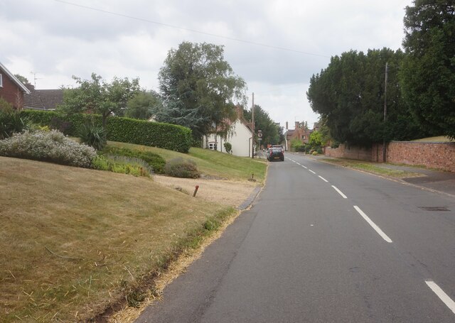
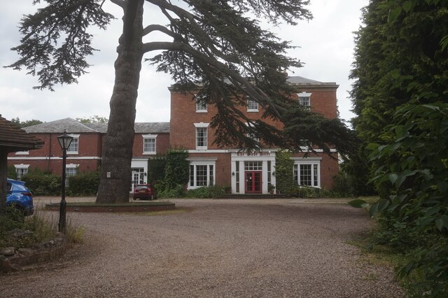
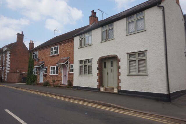
Barford is a picturesque village located in the county of Warwickshire, England. Situated on the banks of the River Avon, it is nestled between the towns of Warwick and Stratford-upon-Avon. With a population of around 2,000 residents, Barford offers a tranquil and idyllic setting for its inhabitants and visitors alike.

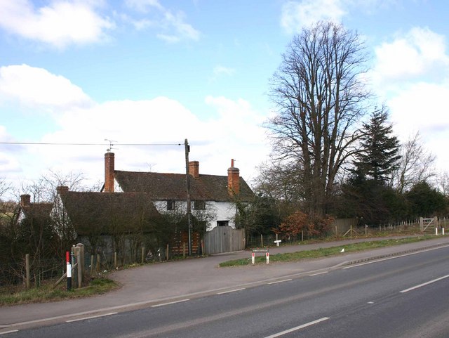
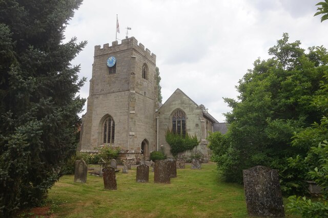
The village is renowned for its rich history, dating back to Roman times. Evidence of Roman occupation can be seen through the discovery of a Roman villa and coins in the area. Today, Barford maintains its historical charm with a variety of well-preserved buildings, including the 13th-century Church of St. Peter, which stands as a testament to the village's heritage.

Nature enthusiasts can explore the beautiful surrounding countryside, which offers ample opportunities for walking, cycling, and fishing. The nearby Barford Wood and Meadows provide a haven for wildlife, boasting diverse flora and fauna.

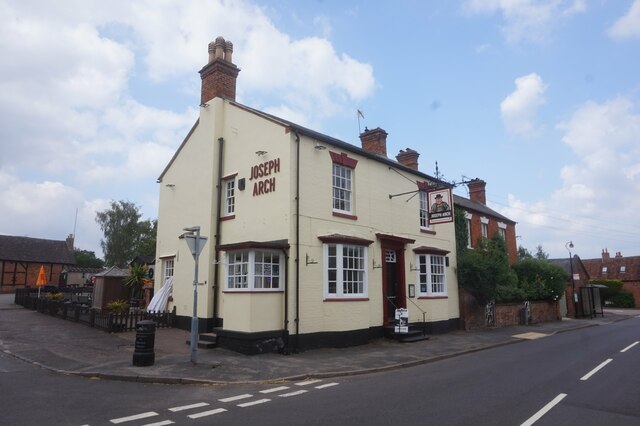
Barford is also well-served by amenities and facilities. The village has a primary school, a post office, a village hall, and a range of shops and pubs, providing essential services and a sense of community for its residents.

For those seeking cultural experiences and entertainment, the proximity to Warwick and Stratford-upon-Avon offers a wealth of options. Warwick Castle, a stunning medieval fortress, is just a short distance away, while Stratford-upon-Avon, the birthplace of William Shakespeare, provides a plethora of theaters, museums, and historic sites.

Overall, Barford is a charming village with a rich history, natural beauty, and a strong sense of community. It offers a peaceful retreat while still providing easy access to nearby towns and attractions, making it an ideal place to live or visit.

If you have any feedback on the listing, please let us know in the comments section below.
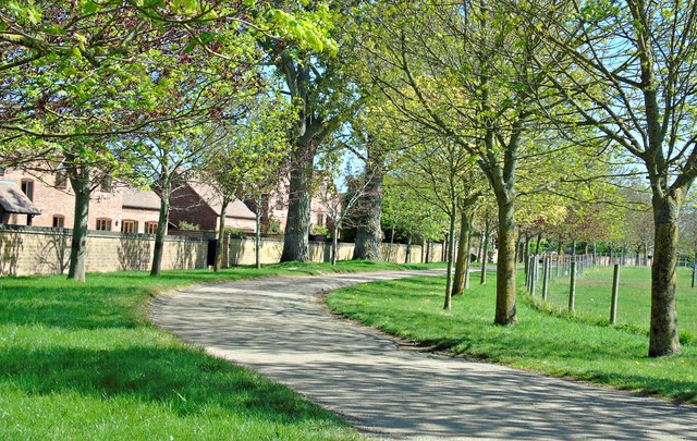
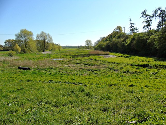
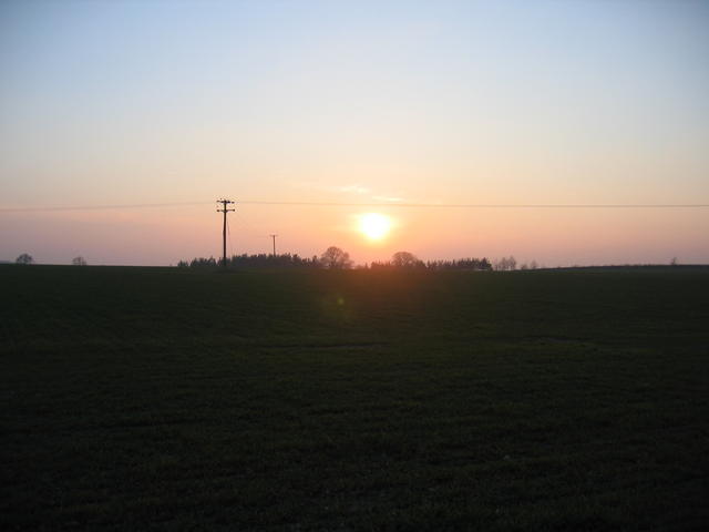
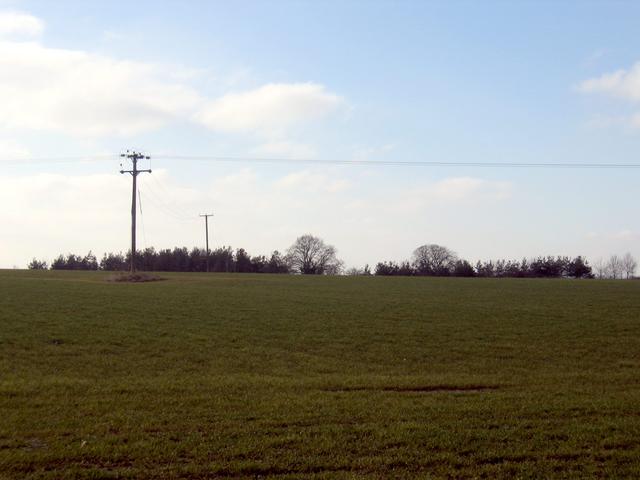
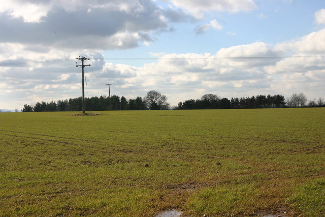
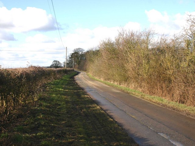
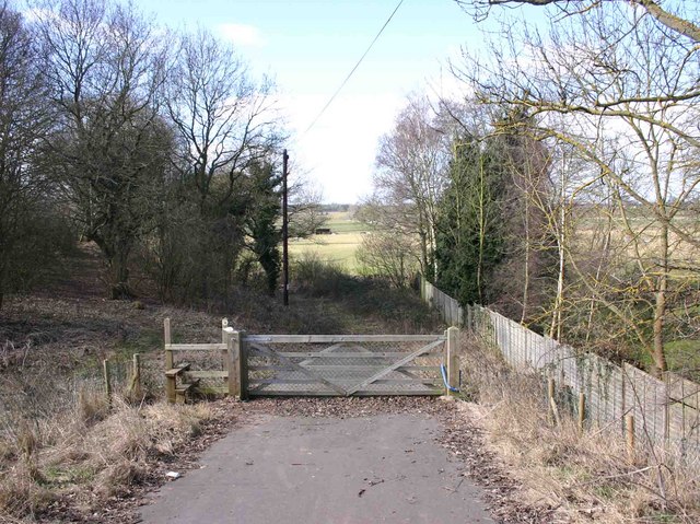
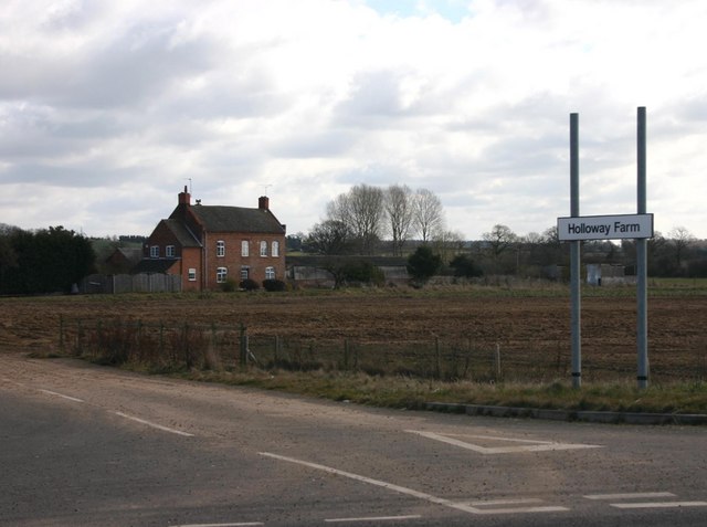
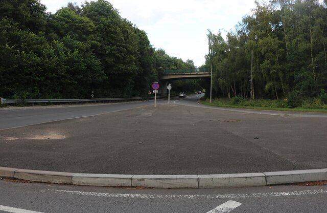
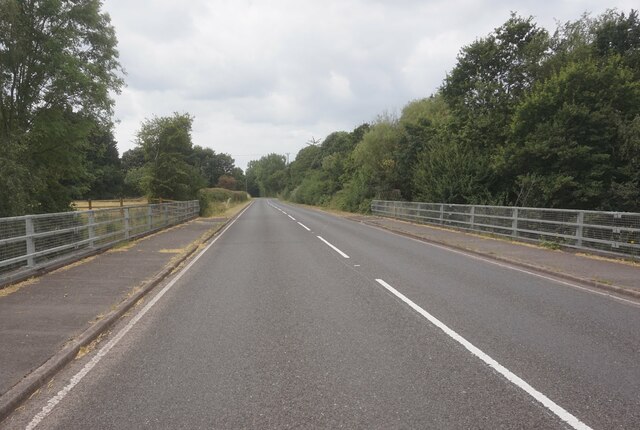
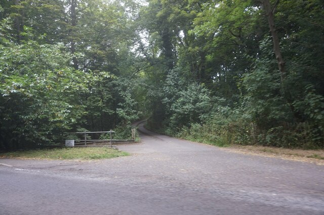
Barford Images

Images are sourced within 2km of 52.247503/-1.600208 or Grid Reference SP2761. Thanks to Geograph Open Source API. All images are credited.

Road to Grove Fields Farm
Hampton Wood Meadow
Hampton Wood Meadow
Low sun over Wasperton Hill A low winter afternoon's sun setting over Wasperton Hill. Seen looking WSW from near Wasperton Lane in the north of the square.
Low sun over Wasperton Hill
A low winter afternoon's sun setting over Wasperton Hill. Seen looking WSW from near Wasperton Lane in the north of the square.
Wasperton Hill The copse of trees on the top of the hill, seen looking SW from Wasperton Lane.
Wasperton Hill
The copse of trees on the top of the hill, seen looking SW from Wasperton Lane.
Wasperton Hill from Wasperton Lane View SW from Wasperton Lane.
Wasperton Hill from Wasperton Lane
View SW from Wasperton Lane.
Wasperton Lane near Wasperton Hill View NE up Wasperton Lane.
Wasperton Lane near Wasperton Hill
View NE up Wasperton Lane.
Footpath to Wasperton Looking WSW from the A429, opposite the entrance to Holloway Farm.
Footpath to Wasperton
Looking WSW from the A429, opposite the entrance to Holloway Farm.
The Forge Cottage, A429 near Wasperton Looking WNW across the A429.
The Forge Cottage, A429 near Wasperton
Looking WNW across the A429.
Holloway Farm, A429 near Wasperton View east across the entrance drive towards the farmhouse. The new entrance signs were put up when the Barford bypass was completed. This is about the southern most point of the road redirection.
Holloway Farm, A429 near Wasperton
View east across the entrance drive towards the farmhouse. The new entrance signs were put up when the Barford bypass was completed. This is about the southern most point of the road redirection.
Island on the Warwick Bypass, Longbridge
Barford Hill towards Barford
Entrance to Alderham Farm on Barford Hill
High Street, Barford
The Glebe Hotel, Barford
St Peter's Church, Barford
Joseph Arch public house, Barford
Houses on Church Street, Barford
Show me another place!

Barford is located at Grid Ref: SP2761 (Lat: 52.247503, Lng: -1.600208)

Administrative County: Warwickshire

District: Warwick

Police Authority: Warwickshire

What 3 Words

///softly.backlog.sunblock. Near Warwick, Warwickshire

Nearby Locations

Barford

Related Wikis

Barford, Warwickshire

Barford is a village and civil parish in the Warwick district of Warwickshire, England, about three miles south of Warwick. As at the 2001 census the parish...

Sherbourne, Warwickshire

Sherbourne is a village and civil parish in the Warwick district of Warwickshire, England. The population of the civil parish at the 2011 Census was 174...

Longbridge Interchange

Longbridge Interchange (also known as Longbridge Island) is a major road and motorway junction between Warwick and Sherbourne, Warwickshire, connecting...

RAF Warwick

RAF Warwick is a former Royal Air Force relief landing ground located 1.7 miles (2.7 km) south west of Warwick, Warwickshire, England. RAF Warwick was...

Wasperton

Wasperton is a village and civil parish in the English county of Warwickshire. The population of the civil parish at the 2011 census was 153. It is on...
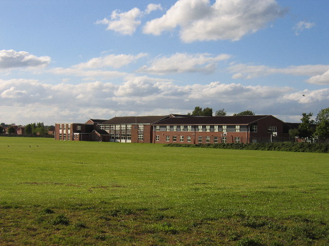
Aylesford School

Aylesford School and Sixth Form College is a coeducational all-through school and sixth form located in Warwick, England. It was constructed on part of...

M40 minibus crash

On 18 November 1993, just after midnight, a minibus was involved in a fatal collision with a maintenance vehicle on the M40 motorway near Warwick, England...

Thelsford Priory

Thelsford Priory is a site listed by the Historic Buildings and Monuments Commission for England.Thelsford Priory was a small house, originally of the...

Nearby Amenities

Located within 500m of 52.247503,-1.600208
Traffic Calming: table
Lat/Long: 52.2450121/-1.6047494
Traffic Calming: table
Lat/Long: 52.2454871/-1.6033805
Give Way
Direction: backward
Lat/Long: 52.2486284/-1.5969201
Give Way
Direction: forward
Lat/Long: 52.2484359/-1.5968253
Give Way
Direction: backward
Lat/Long: 52.2488451/-1.596622
Give Way
Direction: backward
Lat/Long: 52.2483948/-1.5977654
Give Way
Direction: backward
Lat/Long: 52.2467269/-1.6023642
Give Way
Direction: backward
Lat/Long: 52.245467/-1.6033464
Bidford Weir
Waterway: weir
Lat/Long: 52.2473438/-1.6028593
Bidford Weir
Waterway: weir
Lat/Long: 52.2489057/-1.6015958
Barford
Is In: Warwickshire
Place: village
Wikidata: Q4860514
Lat/Long: 52.2454247/-1.6060486
Post Box
Brand: Royal Mail
Brand Wikidata: Q638098
Brand Wikipedia: en:Royal Mail
Collection Times: Mo-Fr 15:30; Sa 11:00
Operator: Royal Mail
Operator Wikidata: Q638098
Post Box Type: wall
Ref: CV35 201
Royal Cypher: GR
Royal Cypher Wikidata: Q33102273
Source: survey
Lat/Long: 52.2468888/-1.6021094
Fire Hydrant
Emergency: fire_hydrant
Fire Hydrant Diameter: 100
Fire Hydrant Position: lane
Fire Hydrant Type: underground
Water Source: main
Lat/Long: 52.2450023/-1.604763
Entrance: main
Lat/Long: 52.2448741/-1.6041331
Post Office
Barford Post Office
Addr City: Warwick
Addr Postcode: CV35 8EN
Addr Street: Church Street
Addr Village: Barford
Brand: Post Office
Brand Wikidata: Q1783168
Fixme: verify by survey
Opening Hours: Mo-Fr 14:45-17:15
Ref Pol Id: 15071
Source: pol_branch_list_2018-02
Website: https://www.postoffice.co.uk/branch-finder/4382463/barford
Lat/Long: 52.24513/-1.60515
Material: wood
Operator: National Grid Electricity Distribution
Operator Wikidata: Q7988183
Power: pole
Source: Warwicks CC Aerial Imagery 2013
Lat/Long: 52.2437084/-1.6012707
Material: wood
Operator: National Grid Electricity Distribution
Operator Wikidata: Q7988183
Power: pole
Source: Warwicks CC Aerial Imagery 2013
Lat/Long: 52.2436934/-1.60053
Material: wood
Operator: National Grid Electricity Distribution
Operator Wikidata: Q7988183
Power: pole
Source: Warwicks CC Aerial Imagery 2013
Lat/Long: 52.2437004/-1.5996734
Material: wood
Operator: National Grid Electricity Distribution
Operator Wikidata: Q7988183
Power: pole
Source: Warwicks CC Aerial Imagery 2013
Lat/Long: 52.2436486/-1.5983928
Material: wood
Operator: National Grid Electricity Distribution
Operator Wikidata: Q7988183
Power: pole
Source: Warwicks CC Aerial Imagery 2013
Lat/Long: 52.2435785/-1.5971493
Defibrillator
Emergency: defibrillator
Indoor: no
Ref: 581
Source: survey
Lat/Long: 52.2451218/-1.6053452
Generator Method: photovoltaic
Generator Output Electricity: yes
Generator Source: solar
Generator Type: solar_photovoltaic_panel
Location: roof
Power: generator
Lat/Long: 52.2475921/-1.6007558
Generator Method: photovoltaic
Generator Output Electricity: yes
Generator Source: solar
Generator Type: solar_photovoltaic_panel
Location: roof
Power: generator
Lat/Long: 52.2468803/-1.6038121
Generator Method: photovoltaic
Generator Output Electricity: yes
Generator Source: solar
Generator Type: solar_photovoltaic_panel
Location: roof
Power: generator
Lat/Long: 52.2448989/-1.6047724
Church Street Barford 11kV
Frequency: 50
Operator: National Grid Electricity Distribution
Power: substation
Ref: 931840
Source: wpd_opendata
Substation: minor_distribution
Voltage: 11000
Lat/Long: 52.2481989/-1.5977637
Material: wood
Operator: National Grid Electricity Distribution
Operator Wikidata: Q7988183
Power: pole
Source: bing
Lat/Long: 52.2473852/-1.5976658
Material: wood
Operator: National Grid Electricity Distribution
Operator Wikidata: Q7988183
Power: pole
Source: bing
Lat/Long: 52.2466988/-1.5977731
Material: wood
Operator: National Grid Electricity Distribution
Operator Wikidata: Q7988183
Power: pole
Source: bing
Lat/Long: 52.2458941/-1.5974513
Material: wood
Operator: National Grid Electricity Distribution
Operator Wikidata: Q7988183
Power: pole
Source: bing
Lat/Long: 52.2450204/-1.5971294
Material: wood
Operator: National Grid Electricity Distribution
Operator Wikidata: Q7988183
Power: pole
Source: bing
Lat/Long: 52.2441993/-1.5968049
Give Way
Direction: backward
Lat/Long: 52.2484956/-1.5972418
Access: yes
Leisure: slipway
Lat/Long: 52.2465305/-1.605633
Maxspeed: 30 mph
Traffic Sign: maxspeed
Traffic Sign Direction: backward
Lat/Long: 52.2483557/-1.5966502
Direction: both
Traffic Calming: choker
Lat/Long: 52.2483646/-1.5979625
Give Way
Direction: backward
Lat/Long: 52.2475429/-1.6002306
Give Way
Direction: backward
Lat/Long: 52.2450439/-1.6047724
Give Way
Direction: backward
Lat/Long: 52.2453675/-1.6050582
The data included in this document is from www.openstreetmap.org. The data is made available under ODbL.

Have you been to Barford?

Leave your review of Barford below (or comments, questions and feedback).