Sheepwalks Hill
Hill, Mountain in Staffordshire South Staffordshire
England
Sheepwalks Hill
Sheepwalks Hill is a prominent hill located in the county of Staffordshire, England. With an elevation of approximately 437 meters (1,434 feet), it is considered one of the highest points in the region. The hill lies within the beautiful landscape of the Peak District National Park, offering breathtaking views of the surrounding countryside.
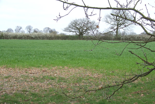
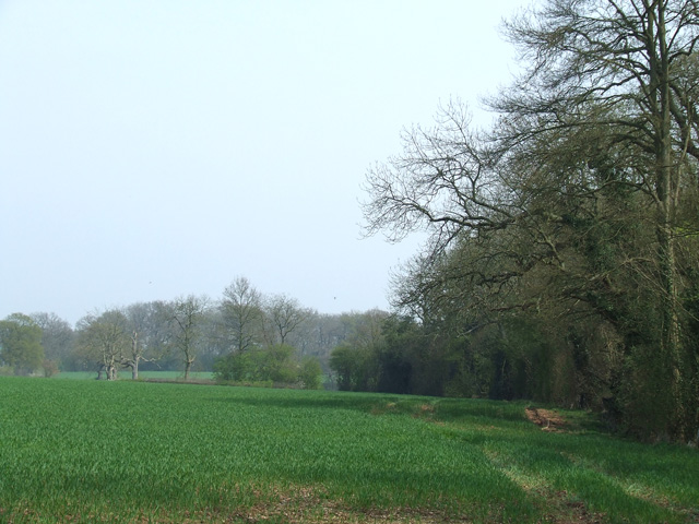
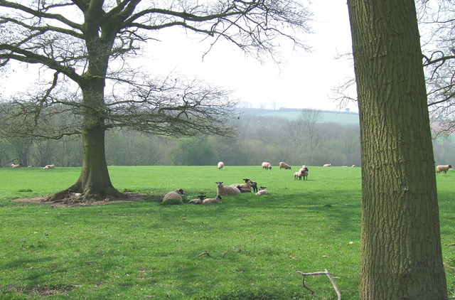
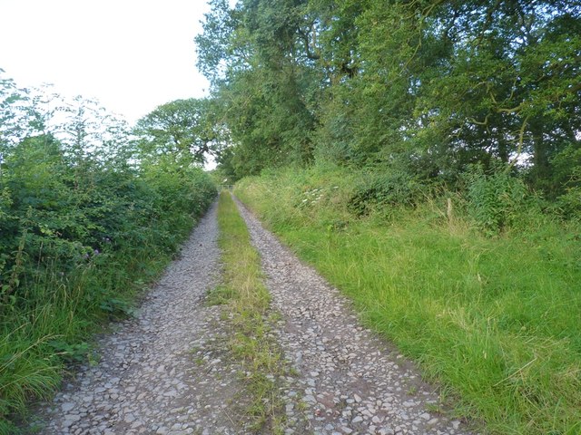
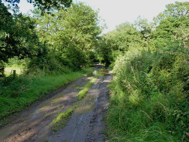
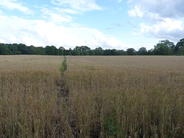
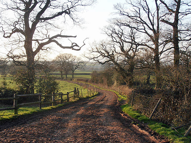
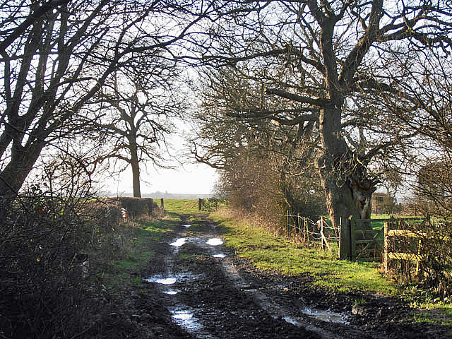
Sheepwalks Hill is characterized by its rolling green slopes, covered in lush grass and dotted with rocky outcrops. The hill is known for its rugged terrain, making it a popular destination for hikers, walkers, and climbers looking for a challenge. Its steep gradients provide a thrilling experience for outdoor enthusiasts, while also offering a sense of tranquility and seclusion.
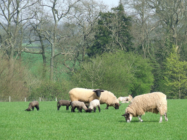
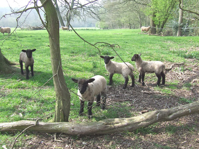
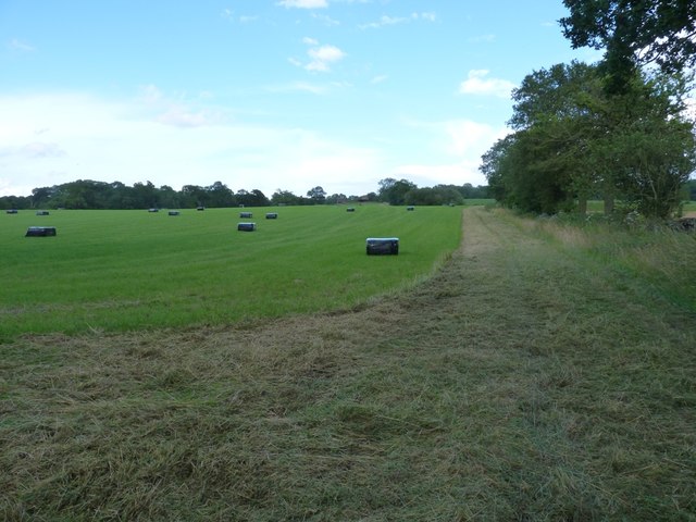
The hill is named after the practice of using it as a grazing area for sheep. In the past, local farmers would lead their flocks up the slopes to feed on the abundant grass and heather that grows there. This tradition has continued to this day, with sheep still being seen roaming the hillside during certain times of the year.
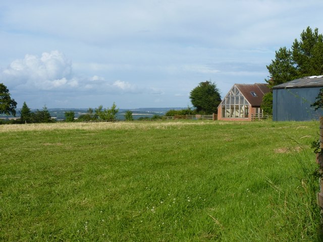
Visitors to Sheepwalks Hill can enjoy a variety of activities, including hill walking, birdwatching, and photography. The hill is home to a diverse range of wildlife, including rare bird species such as peregrine falcons and red grouse. The panoramic views from the summit are particularly stunning, offering glimpses of the neighboring hills, valleys, and even distant cities on clear days.
Sheepwalks Hill is a cherished natural landmark in Staffordshire, providing both locals and visitors with an opportunity to appreciate the region's natural beauty and experience a sense of adventure in the great outdoors.
If you have any feedback on the listing, please let us know in the comments section below.
Sheepwalks Hill Images
Images are sourced within 2km of 52.462478/-2.283636 or Grid Reference SO8084. Thanks to Geograph Open Source API. All images are credited.
Sheepwalks Hill is located at Grid Ref: SO8084 (Lat: 52.462478, Lng: -2.283636)
Administrative County: Staffordshire
District: South Staffordshire
Police Authority: Staffordshire
What 3 Words
///evolving.intruders.ducks. Near Romsley, Shropshire
Nearby Locations
Related Wikis

Great Fountain, Enville
The Great Fountain, Enville, was a fountain created in the mid-19th century by the Earl of Stamford in the middle of a lake on his Enville Hall estate...

Enville Hall
Enville Hall is an English Tudor country house in the village of Enville, Staffordshire. It is a Grade II listed building.The house has a 16th and 17th...

Enville, Staffordshire
Enville is a village and civil parish in rural Staffordshire, England, on the A458 road between Stourbridge and Bridgnorth. Enville is in the South Staffordshire...

West Midlands (region)
The West Midlands is one of nine official regions of England at the first level of International Territorial Level for statistical purposes. It covers...

Castle Hill, Wolverley
Castle Hill or Baron Hill is about a mile from the hamlet of Kingsford in the civil parish of Wolverley and Cookley, Worcestershire. In 1912 the site consisted...

Kinver Edge
Kinver Edge is a high heath and woodland escarpment just west of Kinver, about four miles west of Stourbridge, and four miles north of Kidderminster, and...

Kinver Edge Hillfort
Kinver Edge Hillfort, is a univallate Iron Age hillfort with a massive rampart and outer ditch along the south-west and south-east sides, with natural...

Romsley, Shropshire
Romsley (grid reference SO783826) is a hamlet and civil parish in southeast Shropshire, England. It is bounded on the north and west by Alveley and on...
Nearby Amenities
Located within 500m of 52.462478,-2.283636Have you been to Sheepwalks Hill?
Leave your review of Sheepwalks Hill below (or comments, questions and feedback).