Pilot Hill
Hill, Mountain in Northumberland
England
Pilot Hill
Pilot Hill, located in Northumberland, England, is a prominent hill standing at an elevation of 381 meters (1,250 feet). Situated near the village of Alwinton, it is a part of the Cheviot Hills range, which spans across the border between England and Scotland.
The hill is known for its distinctive cone-shaped summit, affording breathtaking panoramic views of the surrounding countryside. From its peak, visitors can marvel at the rolling landscapes, lush valleys, and neighboring peaks, such as The Cheviot, the highest point in Northumberland. On clear days, one can even catch glimpses of the North Sea and the Scottish Borders.
Pilot Hill is a popular destination for outdoor enthusiasts and nature lovers. It offers opportunities for various recreational activities, including hiking, walking, and birdwatching. The hill is traversed by several well-maintained footpaths, allowing visitors to explore the area at their own pace. The surrounding moorland and woodland habitats provide a haven for a diverse range of wildlife, including red grouse, curlews, and black grouse.
The hill's name, Pilot Hill, has an interesting origin. It is believed to have been derived from the term "pilot," which referred to the locals who guided travelers through the treacherous landscape in the past. Today, Pilot Hill continues to captivate visitors with its natural beauty, tranquility, and captivating views, making it a must-visit destination for those seeking a true taste of Northumberland's rugged charm.
If you have any feedback on the listing, please let us know in the comments section below.
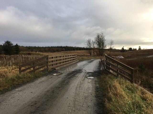
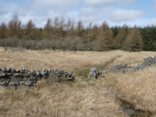
Pilot Hill Images
Images are sourced within 2km of 55.094018/-2.3022235 or Grid Reference NY8077. Thanks to Geograph Open Source API. All images are credited.


Pilot Hill is located at Grid Ref: NY8077 (Lat: 55.094018, Lng: -2.3022235)
Unitary Authority: Northumberland
Police Authority: Northumbria
What 3 Words
///puzzle.shock.signature. Near Bellingham, Northumberland
Nearby Locations
Related Wikis
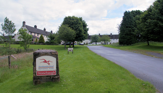
Stonehaugh
Stonehaugh is a small settlement in Northumberland about 5 miles (8 km) west of Wark on Tyne and 4 Roman miles (6 km) north of Hadrian's Wall. It was purpose...

The Goatstones
The Goatstones is a Bronze-Age four-poster stone circle located near Ravensheugh Crags in Northumberland, England. It is 2.5 miles (4.0 km) to the north...

Wark in Tyndale Castle
Wark in Tyndale Castle was a medieval building in the English county of Northumberland (grid reference NY861768). It was first mentioned in 1399–1400,...

Wark Town Hall
Wark Town Hall is a municipal building on The Green in Wark on Tyne, Northumberland, England. The building, which is used as a community events venue,...
Nearby Amenities
Located within 500m of 55.094018,-2.3022235Have you been to Pilot Hill?
Leave your review of Pilot Hill below (or comments, questions and feedback).