Roughpark Wood

Wood, Forest in Staffordshire South Staffordshire

England

Roughpark Wood

Sheep grazing near Hartsgreen in Shropshire Looking north-east from the bridleway by New Barns Farm. Land in the vicinity is shared between grazing and the growing of cereal crops.
Sheep grazing near Hartsgreen in Shropshire Credit: Roger Kidd

Roughpark Wood is a picturesque woodland located in Staffordshire, England. Covering an area of approximately 50 acres, it is a beautiful example of a mixed deciduous forest. The wood is situated on the outskirts of the village of Roughpark, hence its name.

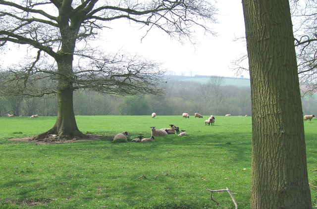
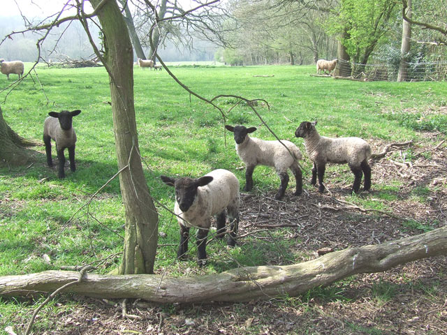
The woodland is home to a diverse range of tree species, including oak, beech, birch, and ash. These towering trees create a dense canopy that provides shelter for a variety of wildlife. Visitors to Roughpark Wood can expect to see an array of woodland creatures, such as squirrels, deer, and a wide variety of bird species.

The forest floor is covered in a rich carpet of wildflowers, including bluebells, primroses, and wood anemones, which bloom in abundance during the spring months. This creates a vibrant and colorful landscape that is a delight to explore.

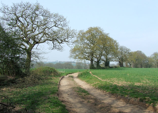
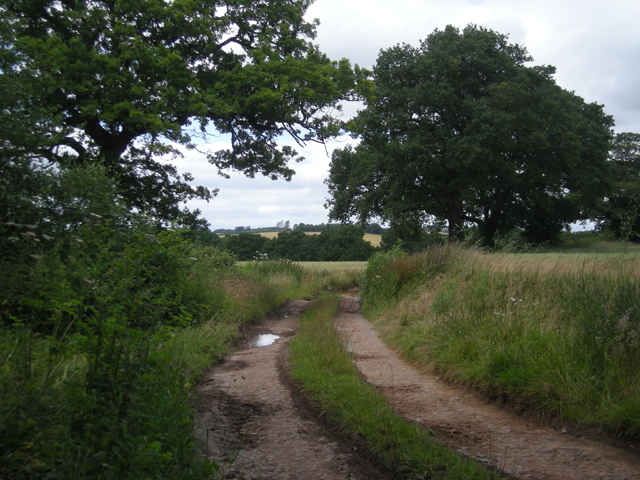
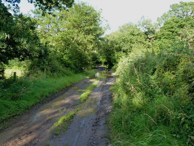
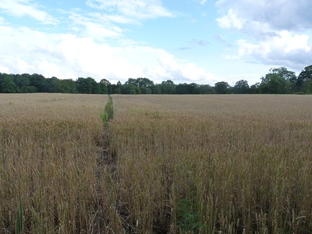
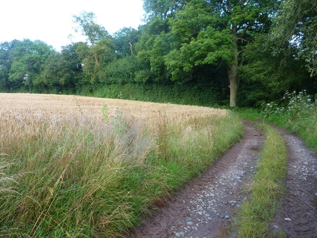
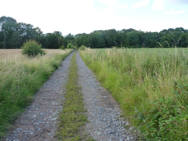
Roughpark Wood is also crisscrossed by a network of footpaths, allowing visitors to easily navigate their way through the forest. These paths lead to several viewpoints, offering breathtaking vistas of the surrounding countryside and the nearby River Trent.

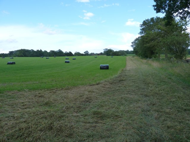
The wood is a popular destination for nature enthusiasts, walkers, and birdwatchers, who are drawn to its tranquil atmosphere and the opportunity to observe and appreciate the natural world. It is also a designated Site of Special Scientific Interest (SSSI), highlighting its ecological importance and the need for its preservation.

Overall, Roughpark Wood is a natural gem in Staffordshire, offering visitors a peaceful retreat where they can connect with nature and enjoy the beauty of a traditional English woodland.

If you have any feedback on the listing, please let us know in the comments section below.

Roughpark Wood Images

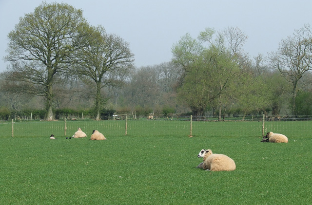
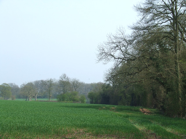
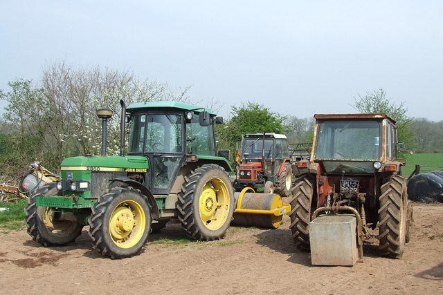
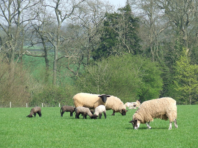
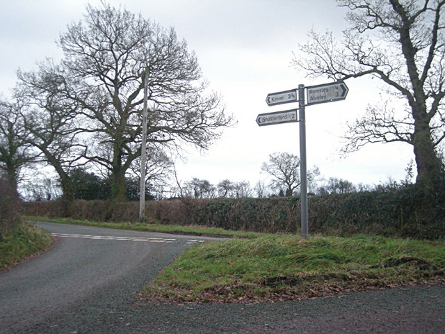
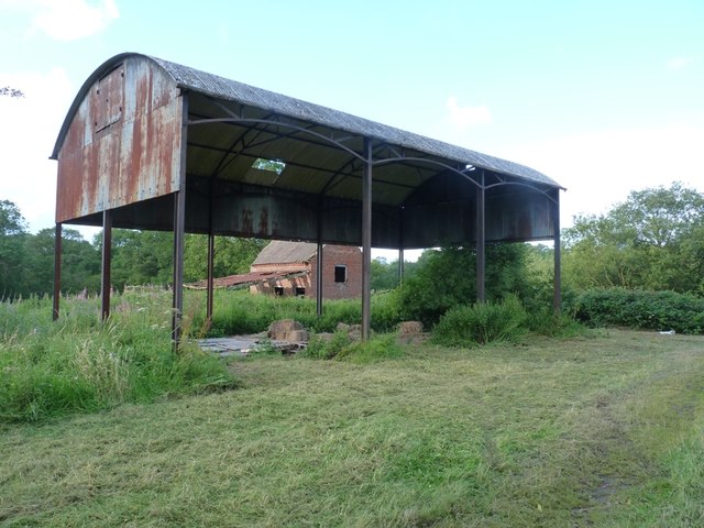
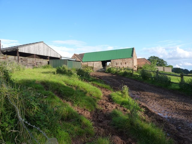
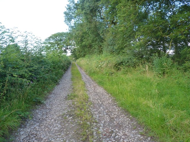
Images are sourced within 2km of 52.456058/-2.2840362 or Grid Reference SO8084. Thanks to Geograph Open Source API. All images are credited.

Sheep grazing near Hartsgreen in Shropshire Looking north-east from the bridleway by New Barns Farm. Land in the vicinity is shared between grazing and the growing of cereal crops.
Sheep grazing near Hartsgreen in Shropshire
Looking north-east from the bridleway by New Barns Farm. Land in the vicinity is shared between grazing and the growing of cereal crops.
Cereal crop and woodland near Hartsgreen in Shropshire Most land in the vicinity is dedicated to cereal crops or grazing, with small areas of woodland still remaining.
Cereal crop and woodland near Hartsgreen in Shropshire
Most land in the vicinity is dedicated to cereal crops or grazing, with small areas of woodland still remaining.
Tractors, New Barns Farm, Hartsgreen, Shropshire
Ewes and Lambs, New Barns Farm, Hartsgreen, Shropshire The land this side of the dingle is dedicated mainly to grazing; the other side to cereal crops.
Ewes and Lambs, New Barns Farm, Hartsgreen, Shropshire
The land this side of the dingle is dedicated mainly to grazing; the other side to cereal crops.
Sheep Grazing, near Hartsgreen, Shropshire
Inquisitive Lambs, near Hartsgreen, Shropshire This bunch came right up to me; the ewes didn't seem bothered.
Inquisitive Lambs, near Hartsgreen, Shropshire
This bunch came right up to me; the ewes didn't seem bothered.
Bridleway near Filletts, Shropshire
Track beside Square Coppice
It's easy to get lost down these lanes - especially when some bright spark turns a sign around!
Barrets - a couple of abandoned barns Two abandoned barns of different ages adjacent to the bridleway between The Hollies and Filletts farms.
Barrets - a couple of abandoned barns
Two abandoned barns of different ages adjacent to the bridleway between The Hollies and Filletts farms.
Re-roofed stone barn at Howlet Hall Old barn - with a new roof.
Re-roofed stone barn at Howlet Hall
Old barn - with a new roof.
A gated bridleway west of Howlet Hall farm The bridleway is a good track for much of its length, with a gate or two to slow the enthusiastic cyclist down. And some muddy sections to ensure a good splattering.
A gated bridleway west of Howlet Hall farm
The bridleway is a good track for much of its length, with a gate or two to slow the enthusiastic cyclist down. And some muddy sections to ensure a good splattering.
A badly boggy bit The generally good bridleway between The Hollies and Filletts farms is rather let down by this boggy, muddy section in the woods.
A badly boggy bit
The generally good bridleway between The Hollies and Filletts farms is rather let down by this boggy, muddy section in the woods.
Bridleway in a hayfield Recently-mown hay baled up ready for winter cattle feed. The bridleway follows the field margin, and is easily rideable, albeit a little soft in places.
Bridleway in a hayfield
Recently-mown hay baled up ready for winter cattle feed. The bridleway follows the field margin, and is easily rideable, albeit a little soft in places.
Bridleway to No Man's Green Following this was a mistake. The first bit, across this field, was OK, but it then drops into a Cains Gorse copse, and become distinctly damp underfoot. Not really cyclable, and frankly, a bit of a pain to push a bike along. And full of nettles, which is always fun in shorts.
Bridleway to No Man's Green
Following this was a mistake. The first bit, across this field, was OK, but it then drops into a Cains Gorse copse, and become distinctly damp underfoot. Not really cyclable, and frankly, a bit of a pain to push a bike along. And full of nettles, which is always fun in shorts.
Howlet Hall farmhouse
A sharp bend on the bridleway The bridleway between Hollies Farm and Filletts takes a 90 degree turn at Square Coppice.
A sharp bend on the bridleway
The bridleway between Hollies Farm and Filletts takes a 90 degree turn at Square Coppice.
Bridleway towards Perry House and Filletts Farm.
Show me another place!

Roughpark Wood is located at Grid Ref: SO8084 (Lat: 52.456058, Lng: -2.2840362)

Administrative County: Staffordshire

District: South Staffordshire

Police Authority: Staffordshire

What 3 Words

///cheat.factored.downturn. Near Romsley, Shropshire

Related Wikis

Castle Hill, Wolverley

Castle Hill or Baron Hill is about a mile from the hamlet of Kingsford in the civil parish of Wolverley and Cookley, Worcestershire. In 1912 the site consisted...

Great Fountain, Enville

The Great Fountain, Enville, was a fountain created in the mid-19th century by the Earl of Stamford in the middle of a lake on his Enville Hall estate...

Enville Hall

Enville Hall is an English Tudor country house in the village of Enville, Staffordshire. It is a Grade II listed building.The house has a 16th and 17th...

Kinver Edge

Kinver Edge is a high heath and woodland escarpment just west of Kinver, about four miles west of Stourbridge, and four miles north of Kidderminster, and...

Have you been to Roughpark Wood?

Leave your review of Roughpark Wood below (or comments, questions and feedback).