Baron's Coppice

Wood, Forest in Staffordshire South Staffordshire

England

Baron's Coppice

Coldridge Wood View to the west through the trees in Coldridge Wood.
Coldridge Wood Credit: Philip Halling

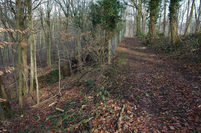
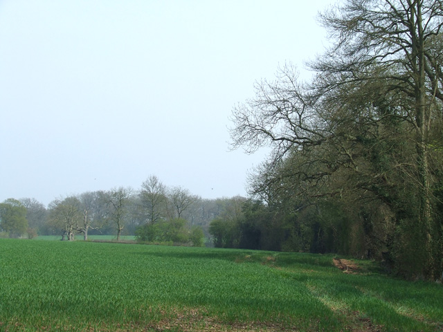
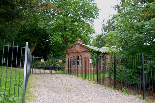
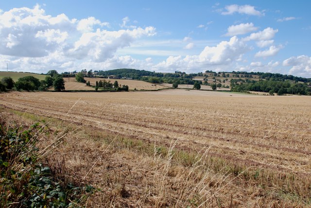
Baron's Coppice is a picturesque woodland located in Staffordshire, England. Covering an area of approximately 50 hectares, this enchanting forest is a haven for nature enthusiasts and outdoor adventurers alike. The coppice is nestled within the Cannock Chase Area of Outstanding Natural Beauty, offering visitors a unique opportunity to immerse themselves in the tranquility of the British countryside.

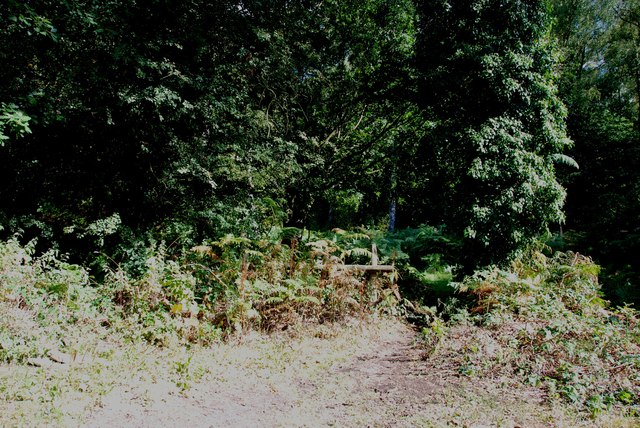
The woodland is predominantly made up of mature oak and birch trees, interspersed with patches of holly and rowan. The dense canopy provides a cool and shaded environment, perfect for leisurely walks during warmer months. The forest floor is adorned with a vibrant carpet of bluebells, primroses, and ferns, adding to the natural beauty of the area.

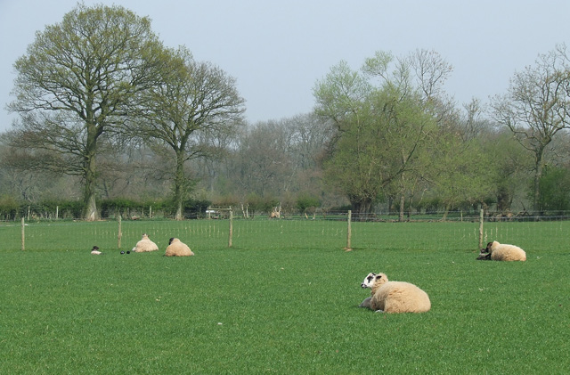
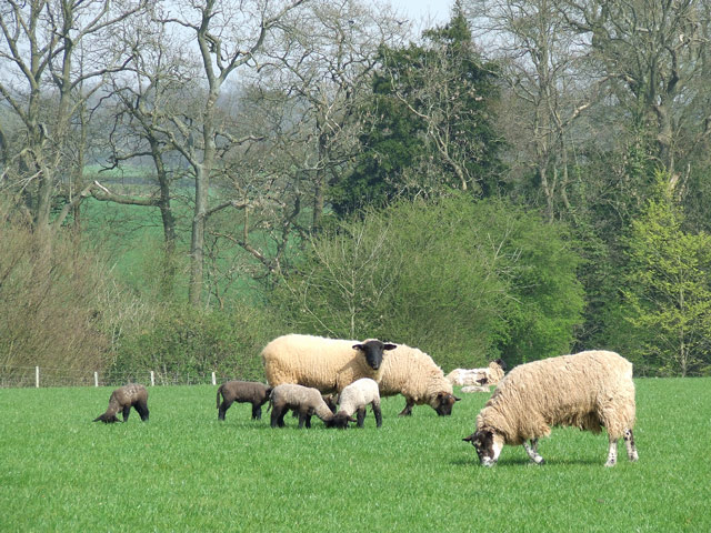
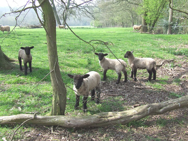
Baron's Coppice is home to a diverse range of wildlife, making it a popular destination for birdwatchers and nature photographers. Visitors may spot various species of birds, including woodpeckers, owls, and finches, as well as small mammals such as squirrels and foxes. The forest also boasts a rich insect population, with butterflies and dragonflies fluttering among the foliage.

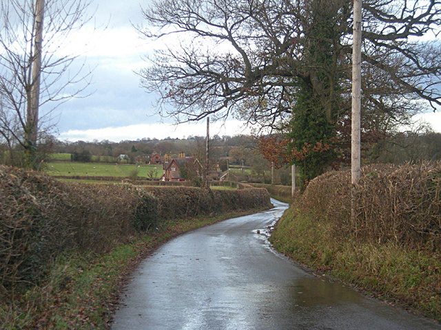
The coppice is easily accessible, with well-maintained footpaths and trails that lead visitors through the heart of the woodland. These paths provide stunning views of the surrounding countryside, allowing hikers to appreciate the area's natural beauty from various vantage points. Baron's Coppice is also a popular spot for picnics and family outings, with designated picnic areas and benches scattered throughout the forest.

Overall, Baron's Coppice is a hidden gem in Staffordshire, offering visitors a chance to escape the hustle and bustle of everyday life and reconnect with nature. With its stunning scenery, abundant wildlife, and opportunities for outdoor exploration, it is a must-visit destination for nature lovers of all ages.

If you have any feedback on the listing, please let us know in the comments section below.

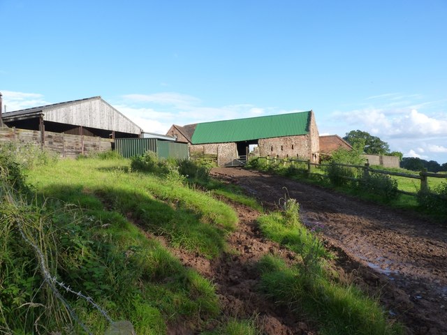
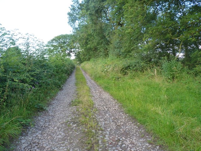
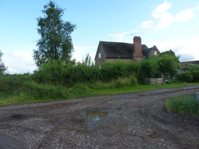
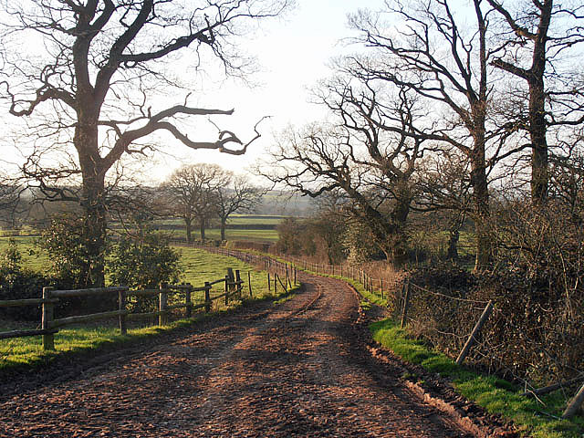
Baron's Coppice Images

Images are sourced within 2km of 52.446573/-2.2840193 or Grid Reference SO8083. Thanks to Geograph Open Source API. All images are credited.

Coldridge Wood View to the west through the trees in Coldridge Wood.
Coldridge Wood
View to the west through the trees in Coldridge Wood.
Catkins in Coldridge Wood
Track through Coldridge Wood To the left of the track are a number of old quarries. The fence on the left provides protection from these quarries.
Track through Coldridge Wood
To the left of the track are a number of old quarries. The fence on the left provides protection from these quarries.
Sheep grazing near Hartsgreen in Shropshire Looking north-east from the bridleway by New Barns Farm. Land in the vicinity is shared between grazing and the growing of cereal crops.
Sheep grazing near Hartsgreen in Shropshire
Looking north-east from the bridleway by New Barns Farm. Land in the vicinity is shared between grazing and the growing of cereal crops.
Cereal crop and woodland near Hartsgreen in Shropshire Most land in the vicinity is dedicated to cereal crops or grazing, with small areas of woodland still remaining.
Cereal crop and woodland near Hartsgreen in Shropshire
Most land in the vicinity is dedicated to cereal crops or grazing, with small areas of woodland still remaining.
Tractors, New Barns Farm, Hartsgreen, Shropshire
Ewes and Lambs, New Barns Farm, Hartsgreen, Shropshire The land this side of the dingle is dedicated mainly to grazing; the other side to cereal crops.
Ewes and Lambs, New Barns Farm, Hartsgreen, Shropshire
The land this side of the dingle is dedicated mainly to grazing; the other side to cereal crops.
Inquisitive Lambs, near Hartsgreen, Shropshire This bunch came right up to me; the ewes didn't seem bothered.
Inquisitive Lambs, near Hartsgreen, Shropshire
This bunch came right up to me; the ewes didn't seem bothered.
Lane past Brittles Cottage
It's easy to get lost down these lanes - especially when some bright spark turns a sign around!
Re-roofed stone barn at Howlet Hall Old barn - with a new roof.
Re-roofed stone barn at Howlet Hall
Old barn - with a new roof.
A gated bridleway west of Howlet Hall farm The bridleway is a good track for much of its length, with a gate or two to slow the enthusiastic cyclist down. And some muddy sections to ensure a good splattering.
A gated bridleway west of Howlet Hall farm
The bridleway is a good track for much of its length, with a gate or two to slow the enthusiastic cyclist down. And some muddy sections to ensure a good splattering.
Howlet Hall farmhouse
Bridleway at Howlett Hall
Brindley Hall, Compton, Kinver This house was once owned by James Brindley, the man who played such a big part in the building of the Canals. Up until recent years it was owned by the Enville Estate and fell into disrepair, squatters moved in for a while, then it was sold to Developers, but when they came to renovate it, Bats were found in the roof and work had to stop. If anyone lives in it now I don't know, but with iron fence and Doberman dogs I will leave that to someone else to find out. The farm nextdoor is Union Hall Farm named after The Grand Union Canal.
Brindley Hall, Compton, Kinver
This house was once owned by James Brindley, the man who played such a big part in the building of the Canals. Up until recent years it was owned by the Enville Estate and fell into disrepair, squatters moved in for a while, then it was sold to Developers, but when they came to renovate it, Bats were found in the roof and work had to stop. If anyone lives in it now I don't know, but with iron fence and Doberman dogs I will leave that to someone else to find out. The farm nextdoor is Union Hall Farm named after The Grand Union Canal.
Gate House, Brindley Hall, Compton, Kinver High security, note one of the dogs in right hand corner.
Gate House, Brindley Hall, Compton, Kinver
High security, note one of the dogs in right hand corner.
Footpath into the Gloom, Kingsford Lane
View from Compton Road, Kinver Looking across to the Sheepwalks on the right skyline.
View from Compton Road, Kinver
Looking across to the Sheepwalks on the right skyline.
Show me another place!

Baron's Coppice is located at Grid Ref: SO8083 (Lat: 52.446573, Lng: -2.2840193)

Administrative County: Staffordshire

District: South Staffordshire

Police Authority: Staffordshire

What 3 Words

///plug.given.idealist. Near Romsley, Shropshire

Related Wikis

Castle Hill, Wolverley

Castle Hill or Baron Hill is about a mile from the hamlet of Kingsford in the civil parish of Wolverley and Cookley, Worcestershire. In 1912 the site consisted...

Kingsford, Worcestershire

Kingsford is a large hamlet in Worcestershire, England. == Location == Kingsford is located one mile (1.6 km) north of the village of Wolverley, Worcestershire...

Kingsford Country Park

Kingsford Country Park, officially Kingsford Forest Park, was in Worcestershire, England, U.K. and managed by Worcestershire County Council. It adjoined...

Drakelow Tunnels

Drakelow Tunnels are a former underground military complex beneath the Blakeshall Estate north of Kidderminster, Worcestershire, covering 285,000 sq ft...

Drakelow Hillfort

Drakelow Hillfort, is a small multivallate Iron Age hillfort, located on a promontory (known as Drakelow Hill) at Drakelow at the southern end of Kinver...

Shatterford

Shatterford is a village in the Wyre Forest District of Worcestershire, England, located north-west of Bewdley and lies less than a mile from the county...

Romsley, Shropshire

Romsley (grid reference SO783826) is a hamlet and civil parish in southeast Shropshire, England. It is bounded on the north and west by Alveley and on...

Kinver Edge Hillfort

Kinver Edge Hillfort, is a univallate Iron Age hillfort with a massive rampart and outer ditch along the south-west and south-east sides, with natural...

Nearby Amenities

Located within 500m of 52.446573,-2.2840193
Power: tower
Lat/Long: 52.4426765/-2.2860023
Power: tower
Lat/Long: 52.4441526/-2.2826511
Power: tower
Lat/Long: 52.4448508/-2.2810662
Power: tower
Lat/Long: 52.4457741/-2.2790618
Power: tower
Lat/Long: 52.4460278/-2.2784825
The data included in this document is from www.openstreetmap.org. The data is made available under ODbL.

Have you been to Baron's Coppice?

Leave your review of Baron's Coppice below (or comments, questions and feedback).