Spring Rough

Wood, Forest in Staffordshire South Staffordshire

England

Spring Rough

Track through Coldridge Wood To the left of the track are a number of old quarries. The fence on the left provides protection from these quarries.
Track through Coldridge Wood Credit: Philip Halling

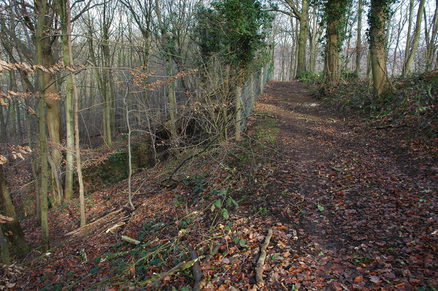
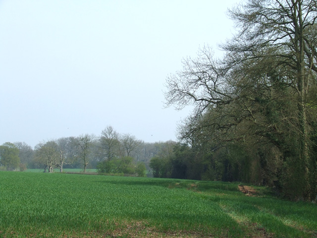
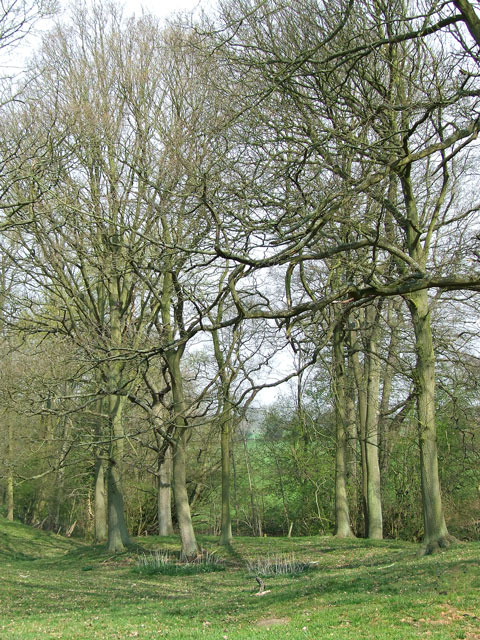
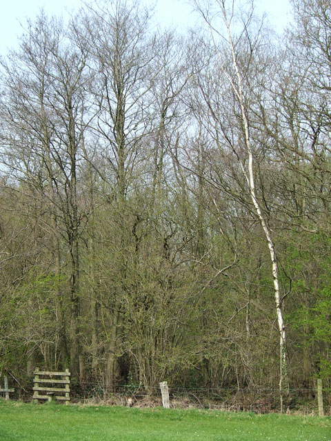
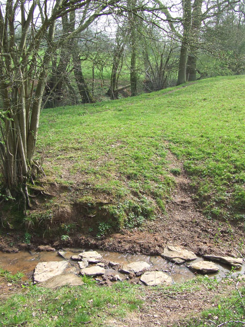
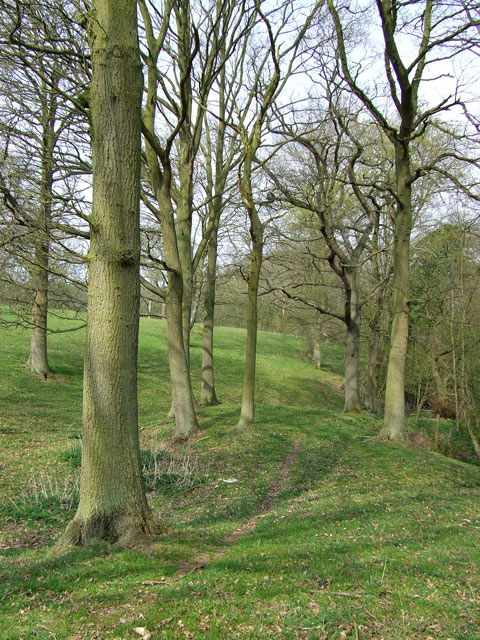
Spring Rough is a picturesque woodland located in Staffordshire, England. Covering an area of approximately 100 acres, it is a popular destination for nature lovers, hikers, and wildlife enthusiasts. The woodland is characterized by its dense canopy of deciduous trees, creating a tranquil and serene atmosphere.

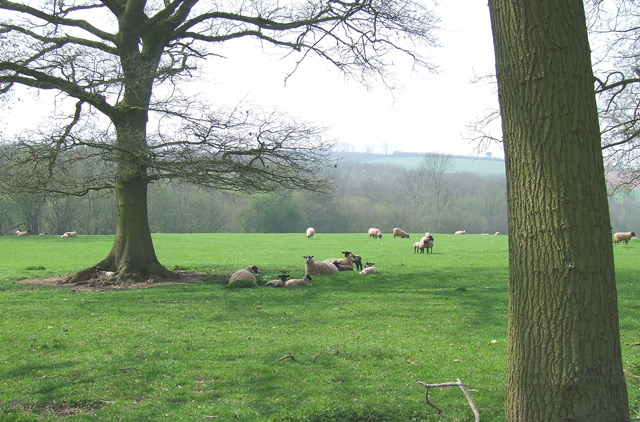
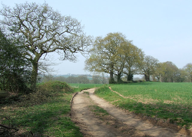
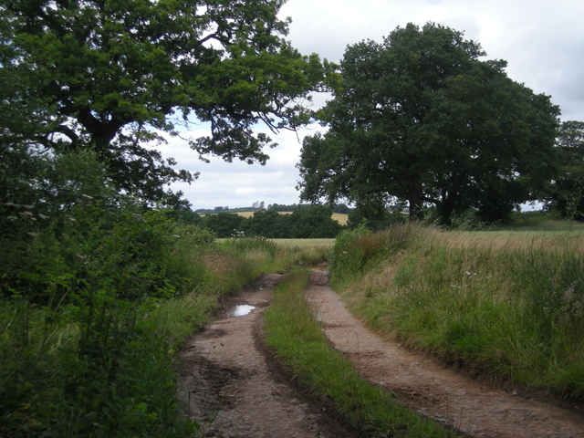
Numerous walking trails wind their way through the woodland, offering visitors the opportunity to explore and discover the beauty of Spring Rough. The paths are well-maintained and clearly marked, ensuring easy navigation for all visitors. Along the way, visitors can encounter a variety of flora and fauna, including oak, beech, and birch trees, as well as an array of wildflowers that bloom during the spring months.

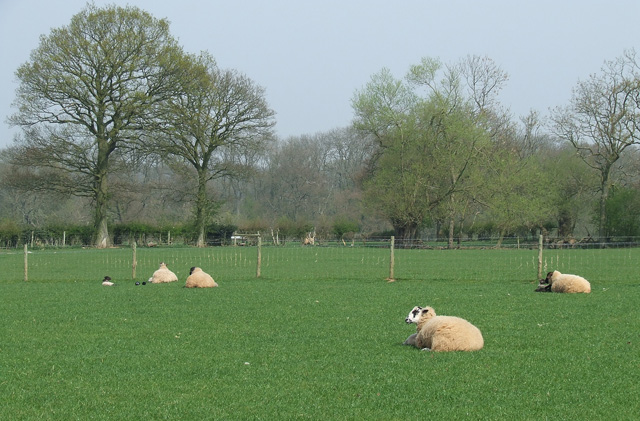
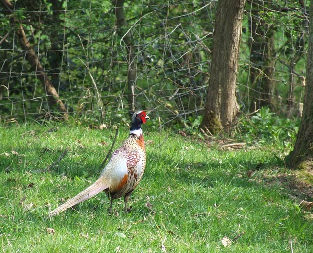
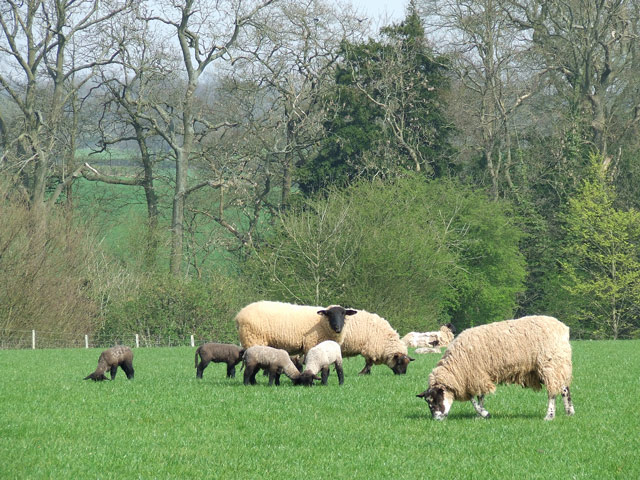
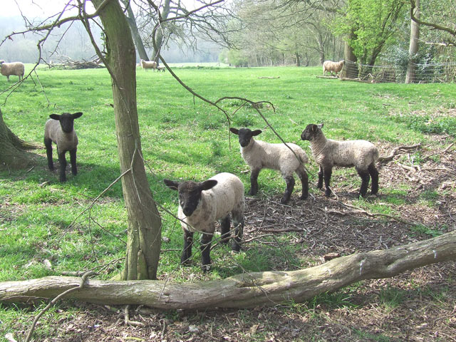
One of the notable features of Spring Rough is its diverse wildlife. The woodland provides a habitat for a wide range of animals, including deer, foxes, badgers, and various bird species. Nature enthusiasts can spot these creatures in their natural habitat, making Spring Rough an ideal location for birdwatching and wildlife photography.

In addition to its natural beauty, Spring Rough also offers recreational facilities for visitors. There are designated picnic areas where families and friends can enjoy a leisurely meal surrounded by the peaceful sounds of nature. The woodland also features a small visitor center, providing information about the local flora and fauna, as well as the history and conservation efforts of Spring Rough.

Overall, Spring Rough in Staffordshire is a haven for those seeking solace in nature. Its stunning woodland, abundant wildlife, and recreational amenities make it an ideal destination for individuals of all ages to enjoy the beauty and serenity of the great outdoors.

If you have any feedback on the listing, please let us know in the comments section below.
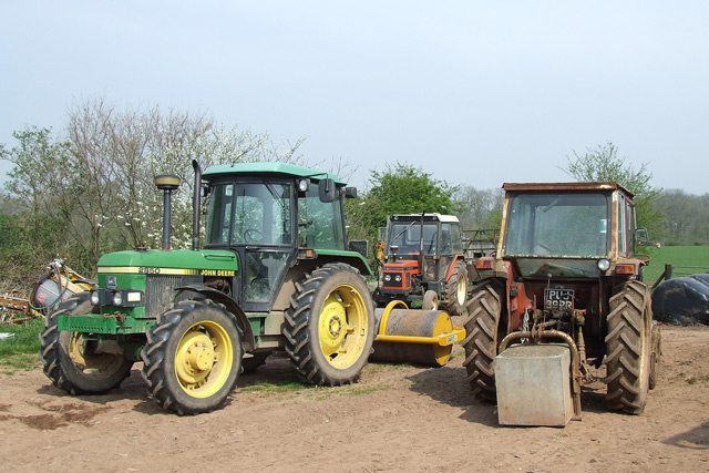
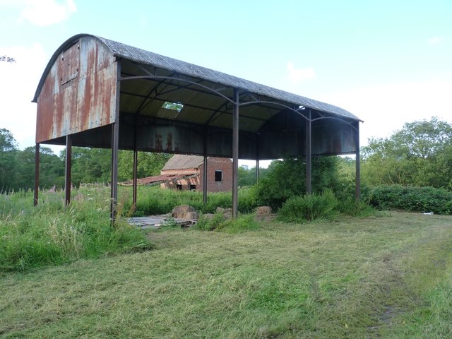
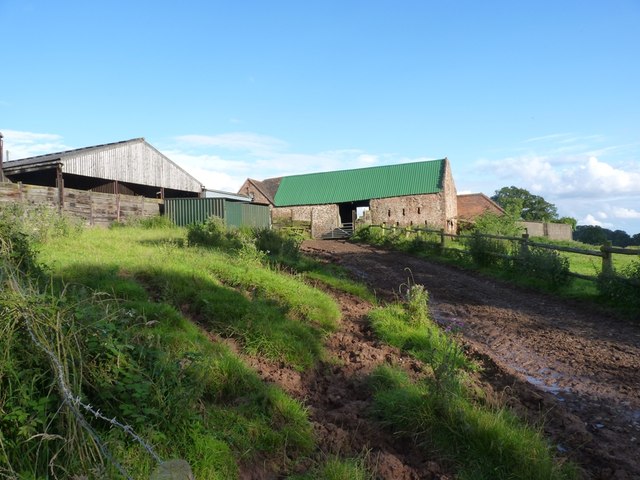
Spring Rough Images

Images are sourced within 2km of 52.451946/-2.2855548 or Grid Reference SO8083. Thanks to Geograph Open Source API. All images are credited.

Track through Coldridge Wood To the left of the track are a number of old quarries. The fence on the left provides protection from these quarries.
Track through Coldridge Wood
To the left of the track are a number of old quarries. The fence on the left provides protection from these quarries.
Sheep grazing near Hartsgreen in Shropshire Looking north-east from the bridleway by New Barns Farm. Land in the vicinity is shared between grazing and the growing of cereal crops.
Sheep grazing near Hartsgreen in Shropshire
Looking north-east from the bridleway by New Barns Farm. Land in the vicinity is shared between grazing and the growing of cereal crops.
Cereal crop and woodland near Hartsgreen in Shropshire Most land in the vicinity is dedicated to cereal crops or grazing, with small areas of woodland still remaining.
Cereal crop and woodland near Hartsgreen in Shropshire
Most land in the vicinity is dedicated to cereal crops or grazing, with small areas of woodland still remaining.
Pheasant, near Hartsgreen, Shropshire The whole area rings with the sound of these attractive birds.
Pheasant, near Hartsgreen, Shropshire
The whole area rings with the sound of these attractive birds.
Tractors, New Barns Farm, Hartsgreen, Shropshire
Ewes and Lambs, New Barns Farm, Hartsgreen, Shropshire The land this side of the dingle is dedicated mainly to grazing; the other side to cereal crops.
Ewes and Lambs, New Barns Farm, Hartsgreen, Shropshire
The land this side of the dingle is dedicated mainly to grazing; the other side to cereal crops.
A Woodland Walk, near Hartsgreen, Shropshire A beautiful footpath - and it's public! Enjoy woods and fields all the way to Birdsgreen (3km) and Alveley.
A Woodland Walk, near Hartsgreen, Shropshire
A beautiful footpath - and it's public! Enjoy woods and fields all the way to Birdsgreen (3km) and Alveley.
Sheep Grazing, near Hartsgreen, Shropshire
Inquisitive Lambs, near Hartsgreen, Shropshire This bunch came right up to me; the ewes didn't seem bothered.
Inquisitive Lambs, near Hartsgreen, Shropshire
This bunch came right up to me; the ewes didn't seem bothered.
Bridleway near Filletts, Shropshire
The Footpath to Bowhills Dingle, Shropshire The track leaves open grass fields and enters the woods at the stile, and after another well defined 200 metres turns right, down into the potentially very slippery stream bed.
The Footpath to Bowhills Dingle, Shropshire
The track leaves open grass fields and enters the woods at the stile, and after another well defined 200 metres turns right, down into the potentially very slippery stream bed.
Stepping Stones, Public Footpath near Hartsgreen, Shropshire Although rudimentary stepping stones have been laid, this public footpath will be difficult to negotiate after heavy rain!
Stepping Stones, Public Footpath near Hartsgreen, Shropshire
Although rudimentary stepping stones have been laid, this public footpath will be difficult to negotiate after heavy rain!
Footpath Through the Trees, Hartsgreen, Shropshire This very attractive public footpath leads through fields and woods, but there are places which could be difficult in wet weather.
Footpath Through the Trees, Hartsgreen, Shropshire
This very attractive public footpath leads through fields and woods, but there are places which could be difficult in wet weather.
Track beside Square Coppice
Lane past Brittles Cottage
It's easy to get lost down these lanes - especially when some bright spark turns a sign around!
Barrets - a couple of abandoned barns Two abandoned barns of different ages adjacent to the bridleway between The Hollies and Filletts farms.
Barrets - a couple of abandoned barns
Two abandoned barns of different ages adjacent to the bridleway between The Hollies and Filletts farms.
Re-roofed stone barn at Howlet Hall Old barn - with a new roof.
Re-roofed stone barn at Howlet Hall
Old barn - with a new roof.
Show me another place!

Spring Rough is located at Grid Ref: SO8083 (Lat: 52.451946, Lng: -2.2855548)

Administrative County: Staffordshire

District: South Staffordshire

Police Authority: Staffordshire

What 3 Words

///geek.warping.crop. Near Romsley, Shropshire

Related Wikis

Castle Hill, Wolverley

Castle Hill or Baron Hill is about a mile from the hamlet of Kingsford in the civil parish of Wolverley and Cookley, Worcestershire. In 1912 the site consisted...

Kingsford, Worcestershire

Kingsford is a large hamlet in Worcestershire, England. == Location == Kingsford is located one mile (1.6 km) north of the village of Wolverley, Worcestershire...

Romsley, Shropshire

Romsley (grid reference SO783826) is a hamlet and civil parish in southeast Shropshire, England. It is bounded on the north and west by Alveley and on...

Kingsford Country Park

Kingsford Country Park, officially Kingsford Forest Park, was in Worcestershire, England, U.K. and managed by Worcestershire County Council. It adjoined...

Kinver Edge

Kinver Edge is a high heath and woodland escarpment just west of Kinver, about four miles west of Stourbridge, and four miles north of Kidderminster, and...

Great Fountain, Enville

The Great Fountain, Enville, was a fountain created in the mid-19th century by the Earl of Stamford in the middle of a lake on his Enville Hall estate...

Kinver Edge Hillfort

Kinver Edge Hillfort, is a univallate Iron Age hillfort with a massive rampart and outer ditch along the south-west and south-east sides, with natural...

Enville Hall

Enville Hall is an English Tudor country house in the village of Enville, Staffordshire. It is a Grade II listed building.The house has a 16th and 17th...

Nearby Amenities

Located within 500m of 52.451946,-2.2855548
The data included in this document is from www.openstreetmap.org. The data is made available under ODbL.

Have you been to Spring Rough?

Leave your review of Spring Rough below (or comments, questions and feedback).