Bithams Plantation

Wood, Forest in Staffordshire South Staffordshire

England

Bithams Plantation

Great Chatwell
Great Chatwell Credit: P Gaskell

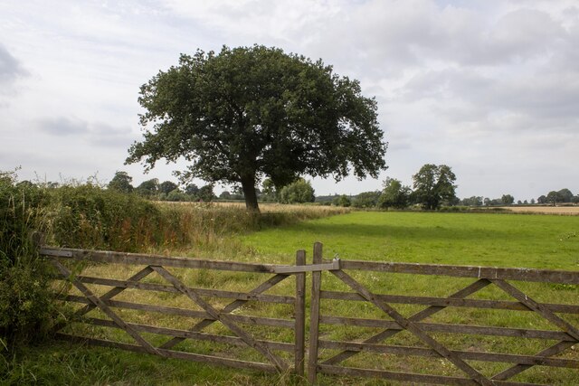
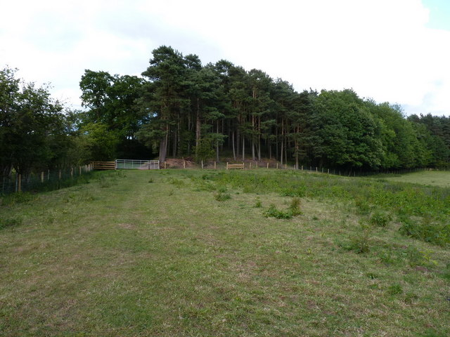
Bithams Plantation is a picturesque woodland area located in Staffordshire, England. Nestled within the county's stunning countryside, this plantation covers an extensive area and is renowned for its natural beauty and rich history.

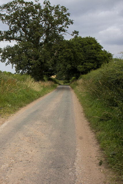
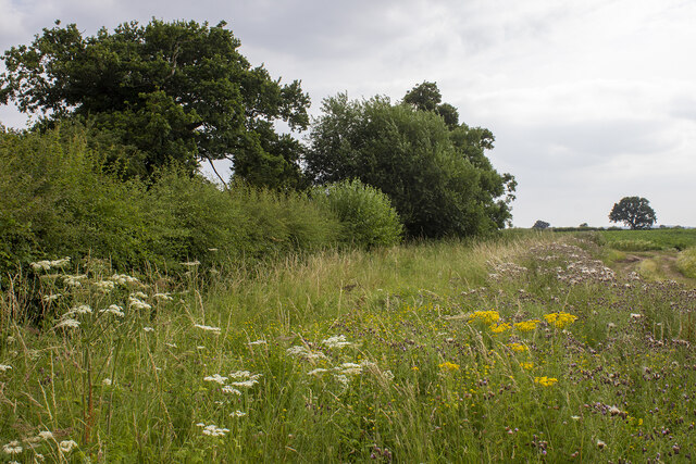
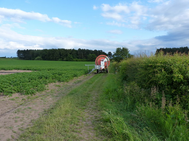
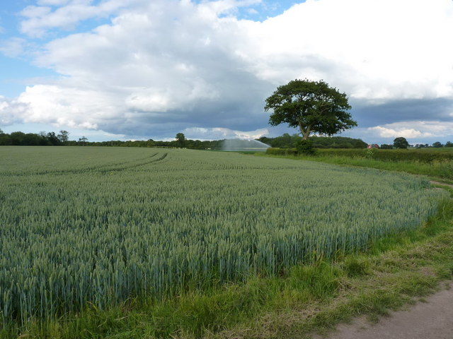
The woodland is predominantly made up of a diverse range of trees, including oak, beech, and birch, which create a lush and vibrant atmosphere throughout the year. The plantation offers a tranquil escape from the hustle and bustle of city life, making it a popular destination for nature enthusiasts, hikers, and families looking to explore the great outdoors.

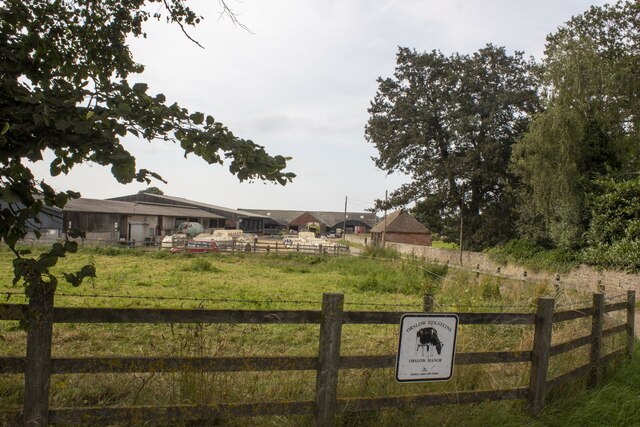
Bithams Plantation has a long and fascinating history. It is believed to have been part of a larger medieval forest that once covered much of the surrounding area. Over the centuries, the woodland was primarily used for timber production, providing a valuable resource for the local economy.

Today, the plantation is managed by local authorities to preserve its natural beauty and ecological balance. Visitors can enjoy a range of amenities, including well-marked walking trails that wind through the woodland, allowing them to immerse themselves in the peaceful ambiance and observe the diverse wildlife that calls Bithams Plantation home.

Additionally, the plantation is also a designated Site of Special Scientific Interest (SSSI) due to its ecological importance. It supports a variety of rare and protected species, including various birds, mammals, and plants, making it a valuable habitat for biodiversity conservation.

In summary, Bithams Plantation in Staffordshire stands as a remarkable woodland retreat, offering a perfect blend of natural beauty, historical significance, and ecological value.

If you have any feedback on the listing, please let us know in the comments section below.

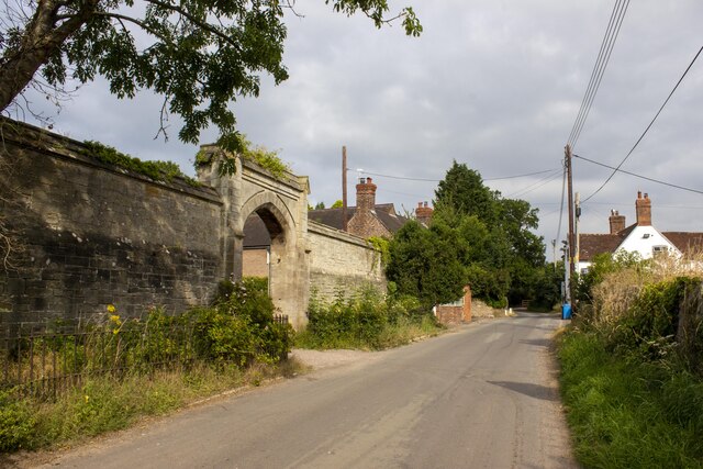
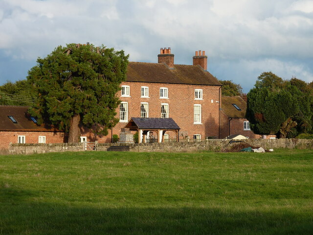
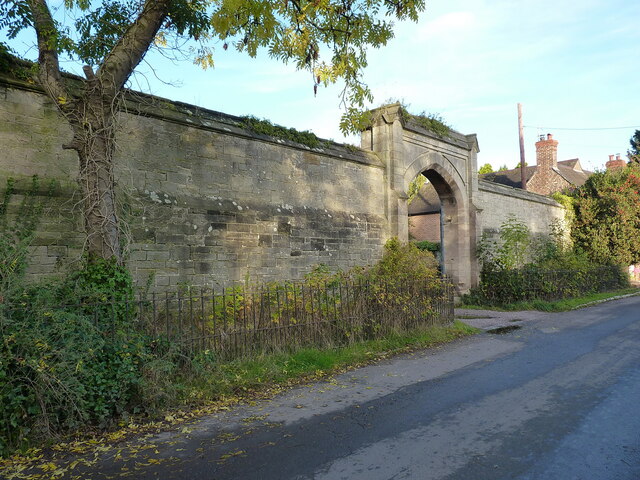
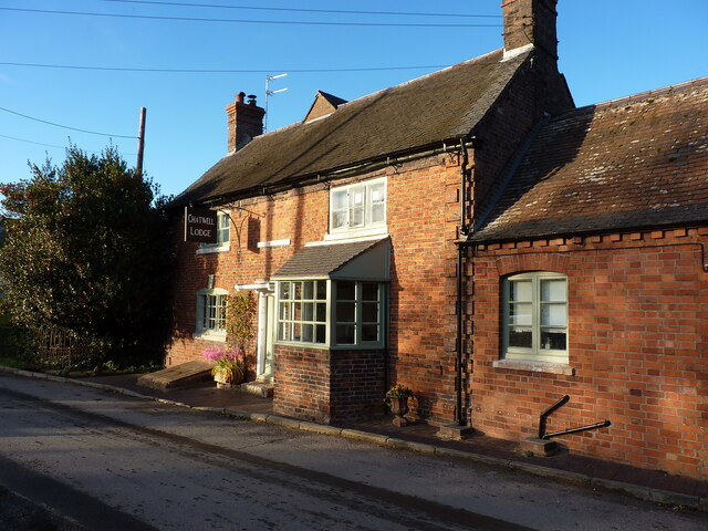
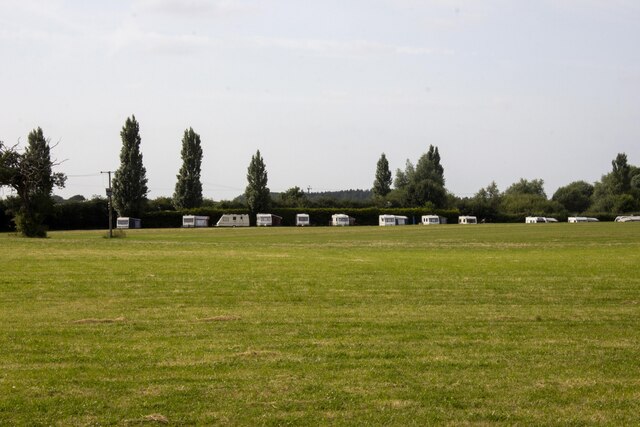
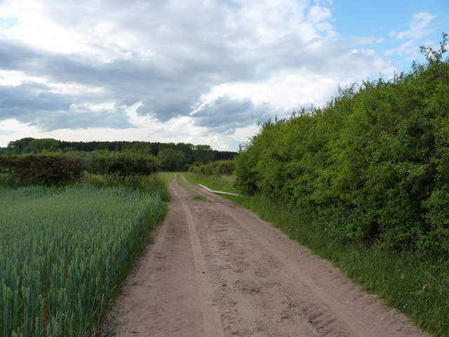
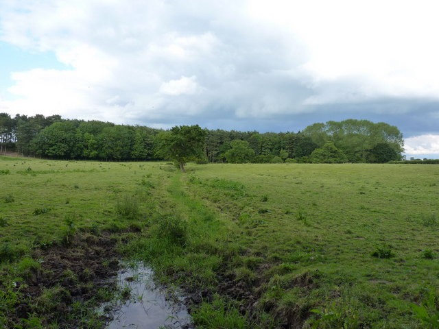
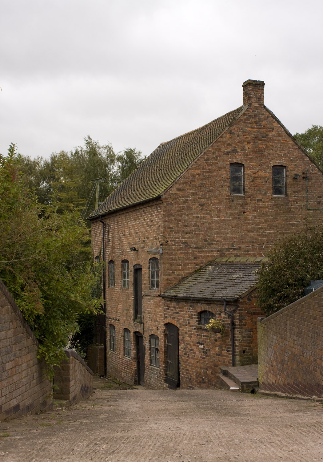
Bithams Plantation Images

Images are sourced within 2km of 52.730878/-2.287331 or Grid Reference SJ8014. Thanks to Geograph Open Source API. All images are credited.

Great Chatwell
Great Chatwell
Great Chatwell House farmhouse The core of this substantial rural farmhouse is 18th century, with a later additional bay on the right. It was Grade II listed <span class="nowrap"><a title="https://historicengland.org.uk/listing/the-list/list-entry/1178111" rel="nofollow ugc noopener" href="https://historicengland.org.uk/listing/the-list/list-entry/1178111">Link</a><img style="margin-left:2px;" alt="External link" title="External link - shift click to open in new window" src="https://s1.geograph.org.uk/img/external.png" width="10" height="10"/></span> & <span class="nowrap"><a title="https://britishlistedbuildings.co.uk/101178111-great-chatwell-house-farmhouse-and-attached-implement-shed-blymhill-and-weston-under-lizard" rel="nofollow ugc noopener" href="https://britishlistedbuildings.co.uk/101178111-great-chatwell-house-farmhouse-and-attached-implement-shed-blymhill-and-weston-under-lizard">Link</a><img style="margin-left:2px;" alt="External link" title="External link - shift click to open in new window" src="https://s1.geograph.org.uk/img/external.png" width="10" height="10"/></span> in 1985, along with the single-storey implement shed seen here to its left (which looks to have been converted to residential use)
Great Chatwell House farmhouse
The core of this substantial rural farmhouse is 18th century, with a later additional bay on the right. It was Grade II listed LinkExternal link & LinkExternal link in 1985, along with the single-storey implement shed seen here to its left (which looks to have been converted to residential use)
Chatwell Court screen and entrance wall This mid 19th century construction is thought to incorporate a section of an earlier house, but was mainly built to smarten up the approach to Chatwell Court house a distance to the rear. It was Grade II listed <span class="nowrap"><a title="https://britishlistedbuildings.co.uk/101374056-screen-and-entrance-wall-to-chatwell-court-driveway-blymhill-and-weston-under-lizard" rel="nofollow ugc noopener" href="https://britishlistedbuildings.co.uk/101374056-screen-and-entrance-wall-to-chatwell-court-driveway-blymhill-and-weston-under-lizard">Link</a><img style="margin-left:2px;" alt="External link" title="External link - shift click to open in new window" src="https://s1.geograph.org.uk/img/external.png" width="10" height="10"/></span> & <span class="nowrap"><a title="https://historicengland.org.uk/listing/the-list/list-entry/1374056" rel="nofollow ugc noopener" href="https://historicengland.org.uk/listing/the-list/list-entry/1374056">Link</a><img style="margin-left:2px;" alt="External link" title="External link - shift click to open in new window" src="https://s1.geograph.org.uk/img/external.png" width="10" height="10"/></span> in 1985, and has recently been opened up by the removal of the large tree that overhung it a few years ago <a href="https://www.geograph.org.uk/photo/2462206">SJ7914 : A grand entrance</a>
Chatwell Court screen and entrance wall
This mid 19th century construction is thought to incorporate a section of an earlier house, but was mainly built to smarten up the approach to Chatwell Court house a distance to the rear. It was Grade II listed LinkExternal link & LinkExternal link in 1985, and has recently been opened up by the removal of the large tree that overhung it a few years ago SJ7914 : A grand entrance
Chadwell/Chatwell Lodge The maps and other sources are in slight disagreement about the exact spelling, but either way this was once The Cock Inn, lying pretty much right opposite <a href="https://www.geograph.org.uk/photo/5235506">SJ7914 : The Red Lion, Great Chatwell</a>. It dates from the early 18th century, with later alterations, and was Grade II listed <span class="nowrap"><a title="https://britishlistedbuildings.co.uk/101374055-chatwell-lodge-blymhill-and-weston-under-lizard" rel="nofollow ugc noopener" href="https://britishlistedbuildings.co.uk/101374055-chatwell-lodge-blymhill-and-weston-under-lizard">Link</a><img style="margin-left:2px;" alt="External link" title="External link - shift click to open in new window" src="https://s1.geograph.org.uk/img/external.png" width="10" height="10"/></span> & <span class="nowrap"><a title="https://historicengland.org.uk/listing/the-list/list-entry/1374055" rel="nofollow ugc noopener" href="https://historicengland.org.uk/listing/the-list/list-entry/1374055">Link</a><img style="margin-left:2px;" alt="External link" title="External link - shift click to open in new window" src="https://s1.geograph.org.uk/img/external.png" width="10" height="10"/></span> in 1985.
Chadwell/Chatwell Lodge
The maps and other sources are in slight disagreement about the exact spelling, but either way this was once The Cock Inn, lying pretty much right opposite SJ7914 : The Red Lion, Great Chatwell. It dates from the early 18th century, with later alterations, and was Grade II listed LinkExternal link & LinkExternal link in 1985.
Hedgerow tree
Hedgerow tree
Road with hedgerows Road with hedgerows near Keeper's Cottage
Road with hedgerows
Road with hedgerows near Keeper's Cottage
Hedgerow and field
Hedgerow and field
Orslow Manor Farm Modern and vernacular farm buildings at Orslow Manor Farm
Orslow Manor Farm
Modern and vernacular farm buildings at Orslow Manor Farm
Caravan Site
Caravan Site
The Red Lion pub Stripped of its coat of ivy since <a href="https://www.geograph.org.uk/photo/349226">SJ7914 : The Red Lion, Great Chatwell</a> was taken in 2007; this pub seems to be doing better than many rural watering holes.
The Red Lion pub
Stripped of its coat of ivy since SJ7914 : The Red Lion, Great Chatwell was taken in 2007; this pub seems to be doing better than many rural watering holes.
A grand entrance The imposing wall, and fine entrance archway to Chatwell Court.
A grand entrance
The imposing wall, and fine entrance archway to Chatwell Court.
Disused mill at Great Chatwell
Farm track across Guy's Bank The public right of way (a bridleway) runs through a narrow strip of fenced land just over the hedge on the right, but you're hard pushed to see it, let alone follow it, in the summer, for undergrowth.
Farm track across Guy's Bank
The public right of way (a bridleway) runs through a narrow strip of fenced land just over the hedge on the right, but you're hard pushed to see it, let alone follow it, in the summer, for undergrowth.
The Orslow Brook at Coneygreaves Little more than a boggy ditch at this point, especially in near-drought conditions, it eventually runs into the Back Brook.
The Orslow Brook at Coneygreaves
Little more than a boggy ditch at this point, especially in near-drought conditions, it eventually runs into the Back Brook.
Bridleway at Coneygreaves Looking along the bridleway from Great Chatwell to Bromstead, towards the point where another splits off towards Moreton at the gate 100 yards away.
Bridleway at Coneygreaves
Looking along the bridleway from Great Chatwell to Bromstead, towards the point where another splits off towards Moreton at the gate 100 yards away.
A good attempt to block the bridleway A raingun was watering the potatoes just off shot to the left here; its hose reel had been left right across the bridleway, although a bike (or horse) could just about squeeze through against the hedge.
A good attempt to block the bridleway
A raingun was watering the potatoes just off shot to the left here; its hose reel had been left right across the bridleway, although a bike (or horse) could just about squeeze through against the hedge.
Mixed crops at Moreton Wheat in the foreground, potatoes under the raingun in the distance.
Mixed crops at Moreton
Wheat in the foreground, potatoes under the raingun in the distance.
Dutch barn at Sand Bank A large, isolated barn at the corner of Chapman's Wood.
Dutch barn at Sand Bank
A large, isolated barn at the corner of Chapman's Wood.
Show me another place!

Bithams Plantation is located at Grid Ref: SJ8014 (Lat: 52.730878, Lng: -2.287331)

Administrative County: Staffordshire

District: South Staffordshire

Police Authority: Staffordshire

What 3 Words

///estimated.tweaked.recipient. Near Woodcote, Shropshire

Nearby Locations

Bithams Plantation

Related Wikis

Orslow

Orslow is an upland hamlet in Staffordshire, England, 0.75 miles (1.21 km) north-east of Great Chatwell. Its Anglo-Saxon name means 'Horsa's burial mound...

Great Chatwell

Great Chatwell is a small village within the civil parish of Blymhill and Weston-under-Lizard, in the South Staffordshire district of Staffordshire, England...

Brineton

Brineton is a hamlet in Staffordshire, England. It is 3/4 mile north of the village of Blymhill, and is within the civil parish of Blymhill and Weston...

High Onn

High Onn is a hamlet near the village of Wheaton Aston, in the English county of Staffordshire. == See also == Listed buildings in Church Eaton == References... ==

Chadwell, Shropshire

Chadwell is a hamlet in the county of Shropshire, England. It lies 1/2 mile west of the village of Great Chatwell over the Staffordshire border and comprises...

Moreton, Staffordshire

Moreton is a small rural village in the borough of Stafford in Staffordshire, England, near the border with Shropshire. It lies 3.5 miles (5.6 km) south...

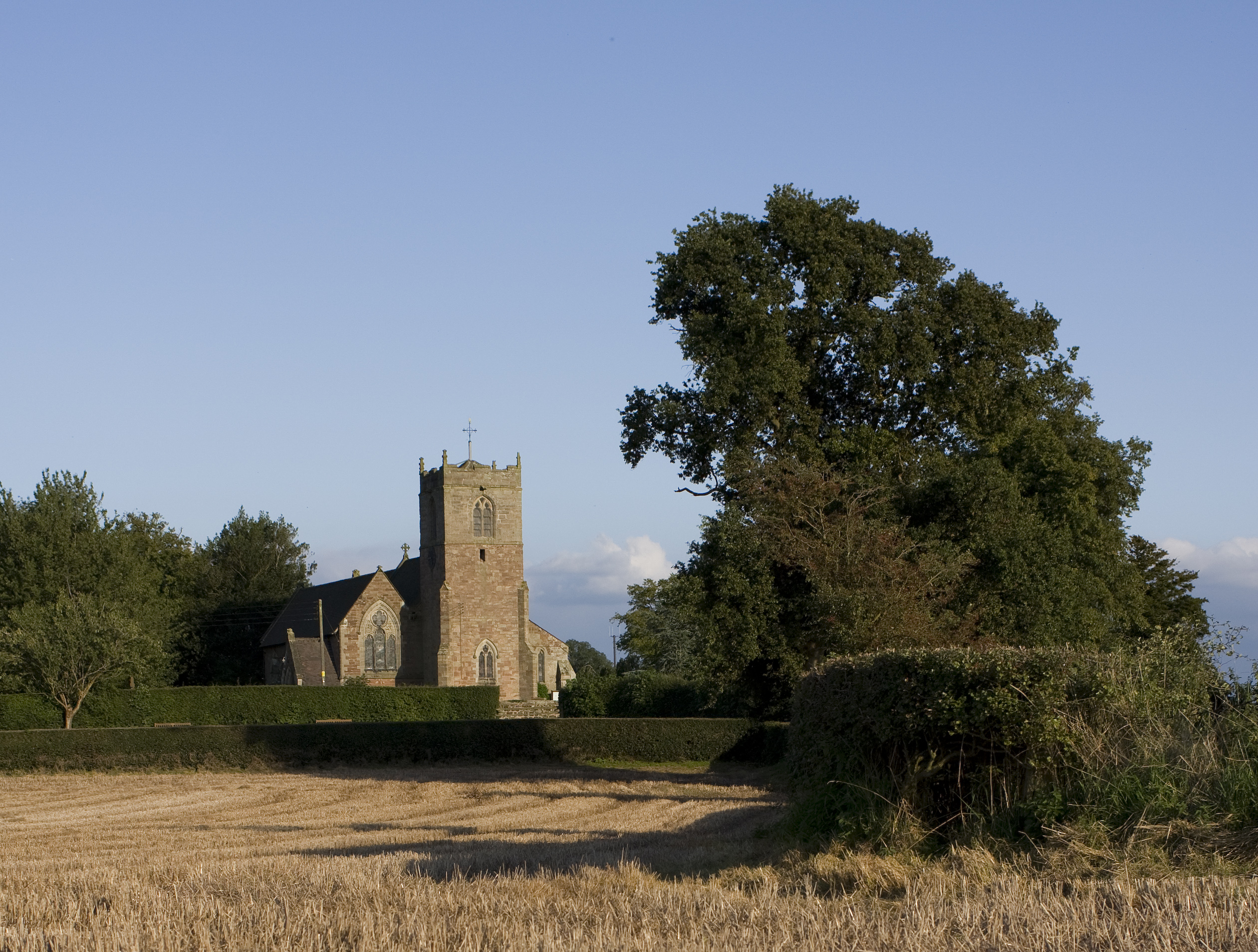
St Mary's Church, Blymhill

St. Mary's Church, Blymhill is an Anglican church in the village of Blymhill, Staffordshire, England (grid reference SJ808122). The building, which is...

White Sitch

White Sitch is a 19th Century designed landscape by John Webb containing a picturesque reservoir in the middle, one mile west of Blymhill in Staffordshire...

Nearby Amenities

Located within 500m of 52.730878,-2.287331
Barrier: stile
Lat/Long: 52.7295805/-2.2942376
Barrier: stile
Lat/Long: 52.7315546/-2.2912299
The data included in this document is from www.openstreetmap.org. The data is made available under ODbL.

Have you been to Bithams Plantation?

Leave your review of Bithams Plantation below (or comments, questions and feedback).