Gawthorpe Hall Plantation
Wood, Forest in Lancashire Burnley
England
Gawthorpe Hall Plantation

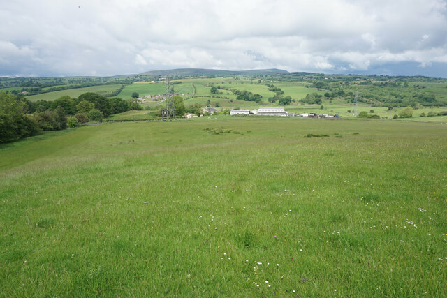
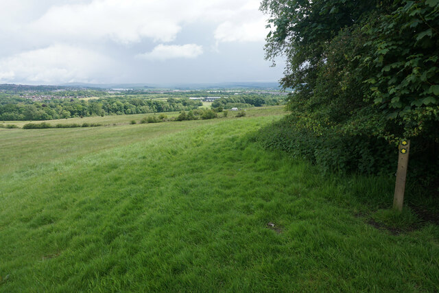
Gawthorpe Hall Plantation is a woodland area located in the county of Lancashire, England. Spanning over several acres, it is situated near the historic Gawthorpe Hall, a Grade I listed Elizabethan country house. The plantation is renowned for its picturesque beauty and rich biodiversity, attracting nature enthusiasts and visitors from near and far.
The woodland features a diverse range of trees, including oak, birch, beech, and sycamore, which create a dense canopy and provide a habitat for numerous species of flora and fauna. The forest floor is adorned with an array of wildflowers, such as bluebells, primroses, and foxgloves, adding vibrant splashes of color to the landscape.
Walking trails wind through the plantation, offering visitors the opportunity to explore the serene surroundings and immerse themselves in nature. These paths are well-maintained and suitable for all abilities, making it an ideal destination for families, hikers, and nature lovers alike.
Gawthorpe Hall Plantation is not only a haven for wildlife but also holds historical significance. The woodland has been managed for generations and was once used for timber production. Today, it serves as a valuable educational resource, allowing visitors to learn about the sustainable management of forests and the importance of preserving natural habitats.
In summary, Gawthorpe Hall Plantation in Lancashire is a captivating woodland area, boasting a diverse range of trees and wildflowers. With its well-maintained trails and historical significance, it offers a peaceful retreat and a chance to connect with nature in a truly enchanting setting.
If you have any feedback on the listing, please let us know in the comments section below.
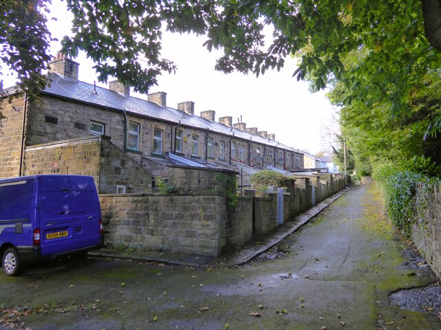
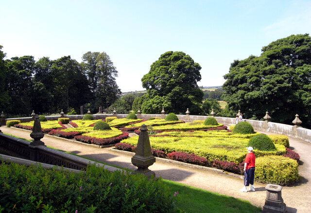
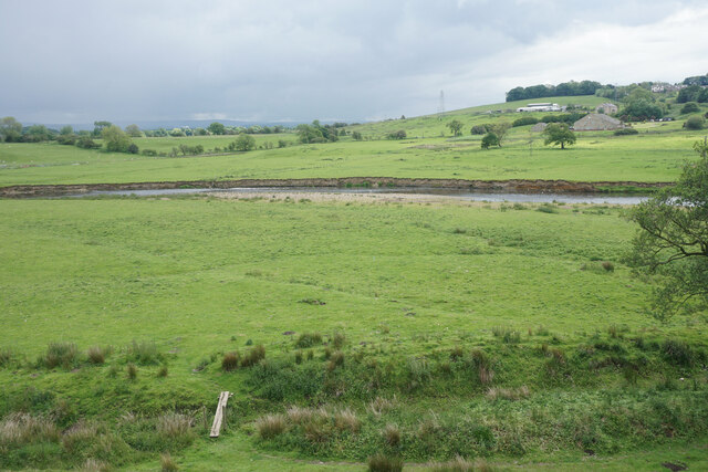
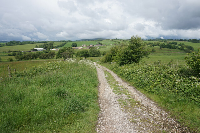
Gawthorpe Hall Plantation Images
Images are sourced within 2km of 53.801902/-2.294487 or Grid Reference SD8033. Thanks to Geograph Open Source API. All images are credited.


Gawthorpe Hall Plantation is located at Grid Ref: SD8033 (Lat: 53.801902, Lng: -2.294487)
Administrative County: Lancashire
District: Burnley
Police Authority: Lancashire
What 3 Words
///decades.transmitted.refrained. Near Padiham, Lancashire
Related Wikis
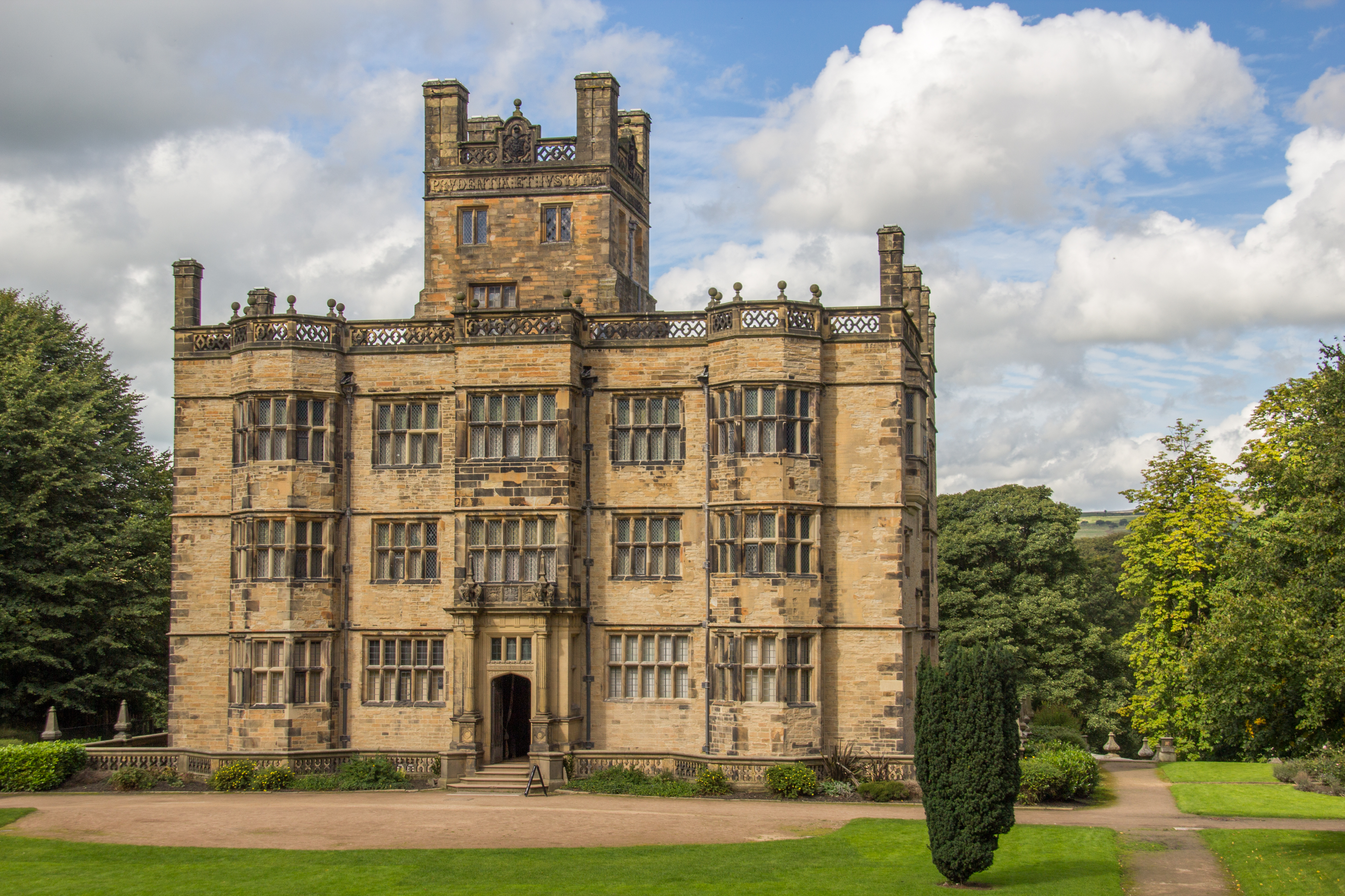
Gawthorpe Hall
Gawthorpe Hall is an Elizabethan country house on the banks of the River Calder, in Ightenhill, a civil parish in the Borough of Burnley, Lancashire, England...

Great Barn, Ightenhill
Great Barn is an historic building in the English civil parish of Ightenhill, Lancashire. Built around 1605 about 100 metres (330 ft) west of Gawthorpe...

Shuttleworth College, Padiham
Shuttleworth College, formerly Gawthorpe High School, is a mixed 11–16 foundation secondary school located in Padiham, Lancashire, England. == History... ==

Burnley High School
Burnley High School is a mixed secondary free school located in the town and Borough of Burnley, Lancashire, England. The school opened in September 2014...
Nearby Amenities
Located within 500m of 53.801902,-2.294487Have you been to Gawthorpe Hall Plantation?
Leave your review of Gawthorpe Hall Plantation below (or comments, questions and feedback).