Birch Wood

Wood, Forest in Staffordshire South Staffordshire

England

Birch Wood

Cereal cropfield near Birdsgreen in Shropshire Some of the fields in the north this square are a little inaccessible.
Cereal cropfield near Birdsgreen in Shropshire Credit: Roger Kidd

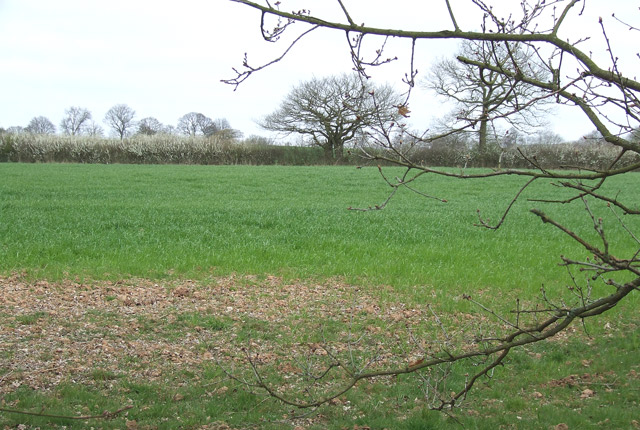
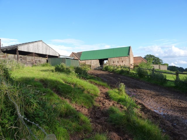
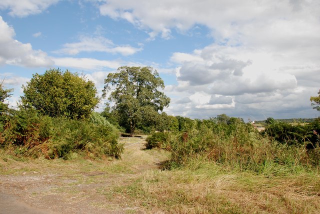
Birch Wood is a picturesque forest located in the county of Staffordshire, England. The wood is named after the abundance of birch trees that dominate its landscape, creating a unique and tranquil environment for visitors to explore.

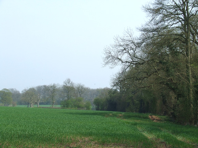
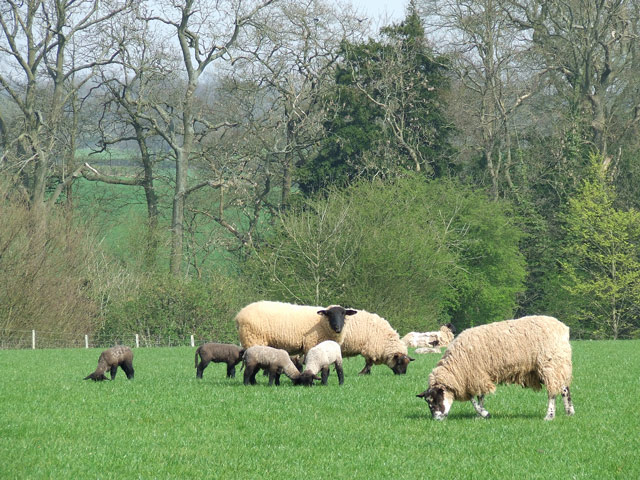
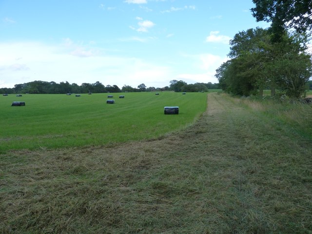
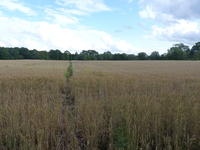
Covering an area of approximately 500 acres, Birch Wood offers a diverse range of habitats, including dense woodland, open meadows, and serene ponds. This variation in landscape attracts a wide array of wildlife, making it a popular destination for nature enthusiasts and birdwatchers. Visitors may be fortunate enough to spot species such as deer, foxes, badgers, and a variety of bird species.

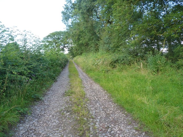
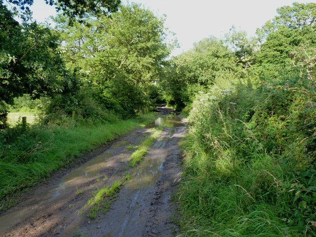
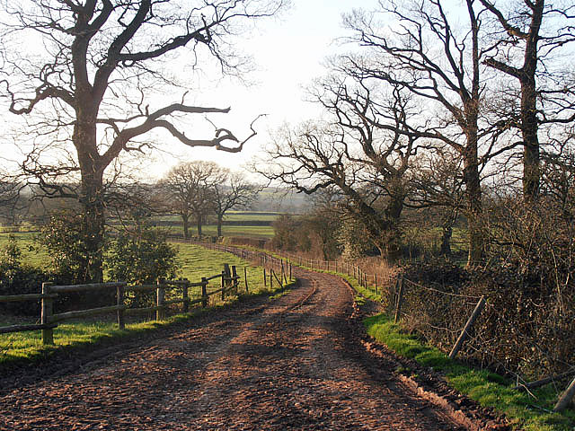
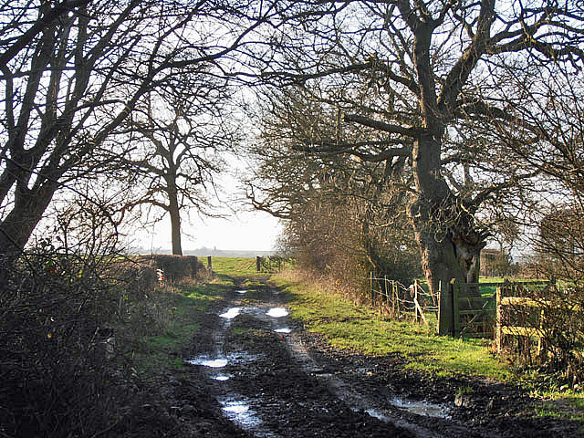
The wood is crisscrossed by a network of well-maintained walking trails, allowing visitors to easily navigate the area and discover its hidden gems. These trails cater to all levels of fitness and provide an opportunity to immerse oneself in the natural beauty of the wood. The peaceful atmosphere and the sound of rustling leaves underfoot make for a truly enchanting experience.

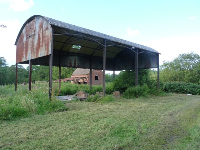
Birch Wood also boasts a rich history, with evidence of human activity dating back thousands of years. Archaeological excavations have uncovered artifacts and structures from the Iron Age, Roman, and medieval periods, adding an air of mystery and intrigue to the wood.

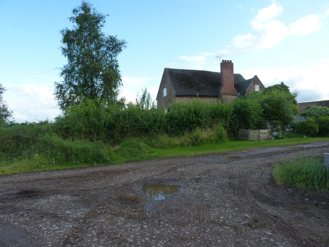
The wood is easily accessible, with ample parking facilities and nearby public transportation options. It also offers picnic areas and benches, allowing visitors to relax and enjoy a peaceful day surrounded by nature.

In conclusion, Birch Wood in Staffordshire is a delightful destination for nature lovers, history enthusiasts, and those seeking a tranquil escape from the hustle and bustle of everyday life. Its diverse habitats, abundant wildlife, and rich history make it a truly remarkable place to explore.

If you have any feedback on the listing, please let us know in the comments section below.
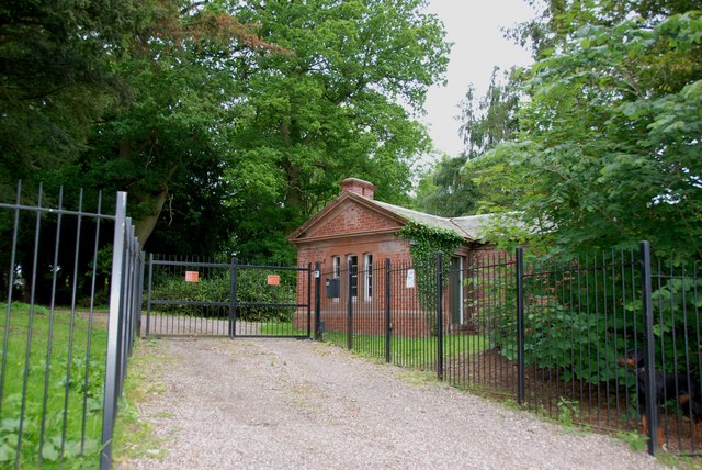
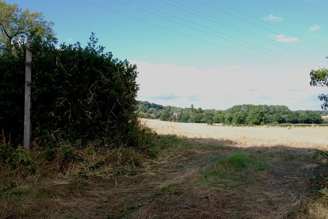
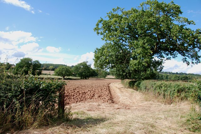
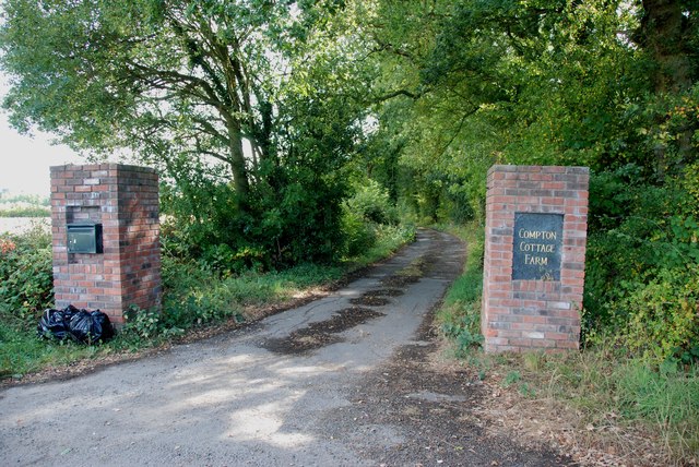
Birch Wood Images

Images are sourced within 2km of 52.46073/-2.2812847 or Grid Reference SO8084. Thanks to Geograph Open Source API. All images are credited.

Cereal cropfield near Birdsgreen in Shropshire Some of the fields in the north this square are a little inaccessible.
Cereal cropfield near Birdsgreen in Shropshire
Some of the fields in the north this square are a little inaccessible.
Cereal crop and woodland near Hartsgreen in Shropshire Most land in the vicinity is dedicated to cereal crops or grazing, with small areas of woodland still remaining.
Cereal crop and woodland near Hartsgreen in Shropshire
Most land in the vicinity is dedicated to cereal crops or grazing, with small areas of woodland still remaining.
Ewes and Lambs, New Barns Farm, Hartsgreen, Shropshire The land this side of the dingle is dedicated mainly to grazing; the other side to cereal crops.
Ewes and Lambs, New Barns Farm, Hartsgreen, Shropshire
The land this side of the dingle is dedicated mainly to grazing; the other side to cereal crops.
Barrets - a couple of abandoned barns Two abandoned barns of different ages adjacent to the bridleway between The Hollies and Filletts farms.
Barrets - a couple of abandoned barns
Two abandoned barns of different ages adjacent to the bridleway between The Hollies and Filletts farms.
Re-roofed stone barn at Howlet Hall Old barn - with a new roof.
Re-roofed stone barn at Howlet Hall
Old barn - with a new roof.
A gated bridleway west of Howlet Hall farm The bridleway is a good track for much of its length, with a gate or two to slow the enthusiastic cyclist down. And some muddy sections to ensure a good splattering.
A gated bridleway west of Howlet Hall farm
The bridleway is a good track for much of its length, with a gate or two to slow the enthusiastic cyclist down. And some muddy sections to ensure a good splattering.
A badly boggy bit The generally good bridleway between The Hollies and Filletts farms is rather let down by this boggy, muddy section in the woods.
A badly boggy bit
The generally good bridleway between The Hollies and Filletts farms is rather let down by this boggy, muddy section in the woods.
Bridleway in a hayfield Recently-mown hay baled up ready for winter cattle feed. The bridleway follows the field margin, and is easily rideable, albeit a little soft in places.
Bridleway in a hayfield
Recently-mown hay baled up ready for winter cattle feed. The bridleway follows the field margin, and is easily rideable, albeit a little soft in places.
Bridleway to No Man's Green Following this was a mistake. The first bit, across this field, was OK, but it then drops into a Cains Gorse copse, and become distinctly damp underfoot. Not really cyclable, and frankly, a bit of a pain to push a bike along. And full of nettles, which is always fun in shorts.
Bridleway to No Man's Green
Following this was a mistake. The first bit, across this field, was OK, but it then drops into a Cains Gorse copse, and become distinctly damp underfoot. Not really cyclable, and frankly, a bit of a pain to push a bike along. And full of nettles, which is always fun in shorts.
Howlet Hall farmhouse
Bridleway at Howlett Hall
Farm track in winter
Brindley Hall, Compton, Kinver This house was once owned by James Brindley, the man who played such a big part in the building of the Canals. Up until recent years it was owned by the Enville Estate and fell into disrepair, squatters moved in for a while, then it was sold to Developers, but when they came to renovate it, Bats were found in the roof and work had to stop. If anyone lives in it now I don't know, but with iron fence and Doberman dogs I will leave that to someone else to find out. The farm nextdoor is Union Hall Farm named after The Grand Union Canal.
Brindley Hall, Compton, Kinver
This house was once owned by James Brindley, the man who played such a big part in the building of the Canals. Up until recent years it was owned by the Enville Estate and fell into disrepair, squatters moved in for a while, then it was sold to Developers, but when they came to renovate it, Bats were found in the roof and work had to stop. If anyone lives in it now I don't know, but with iron fence and Doberman dogs I will leave that to someone else to find out. The farm nextdoor is Union Hall Farm named after The Grand Union Canal.
Gate House, Brindley Hall, Compton, Kinver High security, note one of the dogs in right hand corner.
Gate House, Brindley Hall, Compton, Kinver
High security, note one of the dogs in right hand corner.
Footpath across Fields from Heron's Gate Road The house that can just be seen in the middle of the picture, belonged to James Brindley of canal building fame.
Footpath across Fields from Heron's Gate Road
The house that can just be seen in the middle of the picture, belonged to James Brindley of canal building fame.
Ploughing in the Stubble Ploughing in this years stubble, so that next years crop can be planted in the autumn or next spring, depending what is being sown.
Ploughing in the Stubble
Ploughing in this years stubble, so that next years crop can be planted in the autumn or next spring, depending what is being sown.
Entrance to Compton Cottage Farm, Heron's Gate Road
Field Entrance near the Sheepwalks It is the end of August and the Autumn colours are beginning to show on the hedgerows.
Field Entrance near the Sheepwalks
It is the end of August and the Autumn colours are beginning to show on the hedgerows.
Show me another place!

Birch Wood is located at Grid Ref: SO8084 (Lat: 52.46073, Lng: -2.2812847)

Administrative County: Staffordshire

District: South Staffordshire

Police Authority: Staffordshire

What 3 Words

///family.protected.swimsuits. Near Romsley, Shropshire

Related Wikis

Great Fountain, Enville

The Great Fountain, Enville, was a fountain created in the mid-19th century by the Earl of Stamford in the middle of a lake on his Enville Hall estate...

Enville Hall

Enville Hall is an English Tudor country house in the village of Enville, Staffordshire. It is a Grade II listed building.The house has a 16th and 17th...

Enville, Staffordshire

Enville is a village and civil parish in rural Staffordshire, England, on the A458 road between Stourbridge and Bridgnorth. Enville is in the South Staffordshire...

West Midlands (region)

The West Midlands is one of nine official regions of England at the first level of International Territorial Level for statistical purposes. It covers...

Castle Hill, Wolverley

Castle Hill or Baron Hill is about a mile from the hamlet of Kingsford in the civil parish of Wolverley and Cookley, Worcestershire. In 1912 the site consisted...

Kinver Edge

Kinver Edge is a high heath and woodland escarpment just west of Kinver, about four miles west of Stourbridge, and four miles north of Kidderminster, and...

Kinver Edge Hillfort

Kinver Edge Hillfort, is a univallate Iron Age hillfort with a massive rampart and outer ditch along the south-west and south-east sides, with natural...

Kingsford Country Park

Kingsford Country Park, officially Kingsford Forest Park, was in Worcestershire, England, U.K. and managed by Worcestershire County Council. It adjoined...

Nearby Amenities

Located within 500m of 52.46073,-2.2812847
Mini Roundabout
Direction: clockwise
Lat/Long: 52.4615914/-2.2863845
Sheepwalks Hill
Ele: 207
Natural: peak
Lat/Long: 52.463454/-2.2820712
The data included in this document is from www.openstreetmap.org. The data is made available under ODbL.

Have you been to Birch Wood?

Leave your review of Birch Wood below (or comments, questions and feedback).