Hawkesbury Knoll

Hill, Mountain in Gloucestershire

England

Hawkesbury Knoll

Old Milestone, France Lane In the parish of Hawkesbury, in the village of Hawkesbury Upton. NW side of road, embedded in the earth bank. Mileage is measured to Wotton under Edge. Rivet Benchmark on top, 176.7 m ASL.

Inscription (was): Wotton 5

Milestone Society ID: GL_WEHU05
Old Milestone, France Lane Credit: Mr Red

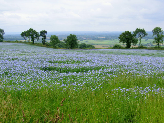
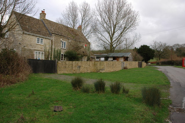
Hawkesbury Knoll, located in Gloucestershire, England, is a prominent hill that offers picturesque views and natural beauty. With an elevation of approximately 240 meters (787 feet), it is considered a modest mountain rather than a hill in geographical terms. The knoll is situated near the village of Hawkesbury Upton and is a noteworthy landmark in the region.

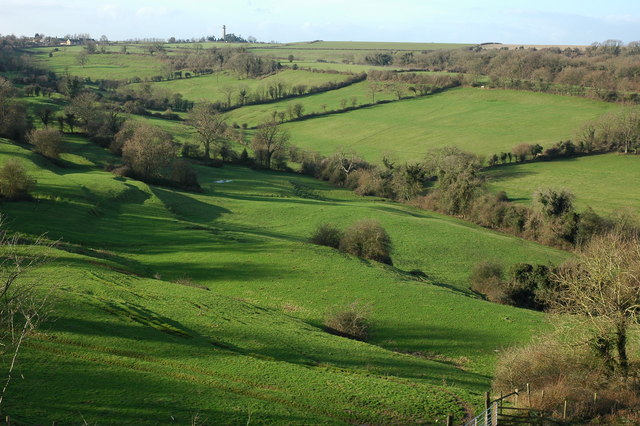
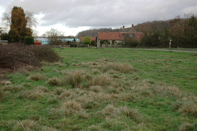
The hill features a distinctively conical shape, with its slopes covered in lush greenery and dotted with trees. The summit of Hawkesbury Knoll provides breathtaking panoramic views of the surrounding countryside, with rolling hills, meandering rivers, and charming villages visible in the distance.

The area surrounding the hill is rich in history, with evidence of human habitation dating back to the Neolithic era. Archaeological finds, including burial mounds and ancient artifacts, have been discovered on the slopes of Hawkesbury Knoll, providing insights into the lives of early inhabitants.

Today, Hawkesbury Knoll is a popular destination for outdoor enthusiasts and nature lovers. The hill offers a variety of walking trails that allow visitors to explore its natural beauty and enjoy the tranquility of the surrounding landscape. The well-maintained paths make it accessible to hikers of all skill levels, while the more adventurous can choose to explore off-trail areas.

Hawkesbury Knoll is not only a natural gem but also a site of historical significance, making it a must-visit destination for those seeking to immerse themselves in the beauty and heritage of Gloucestershire.

If you have any feedback on the listing, please let us know in the comments section below.

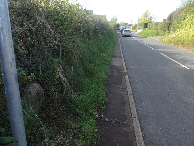
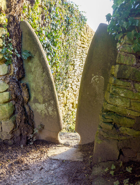
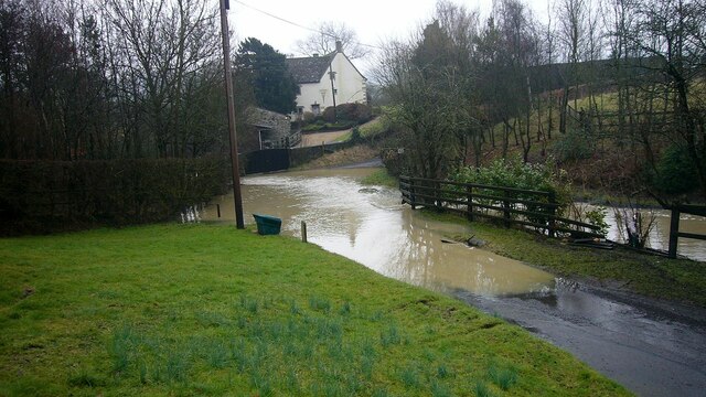
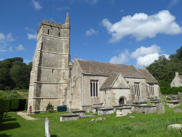
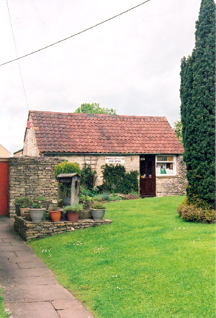
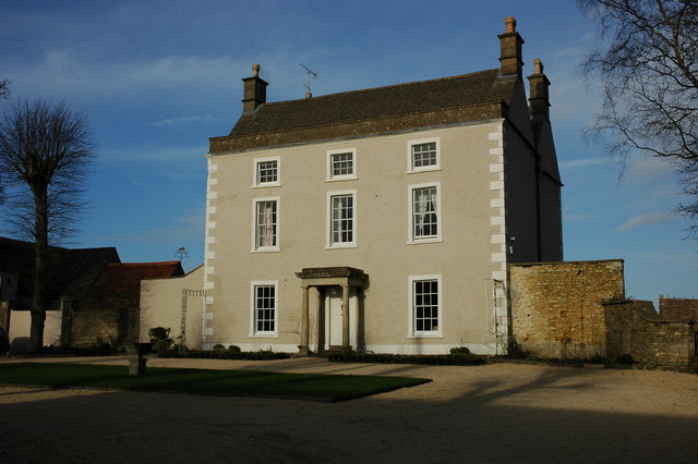
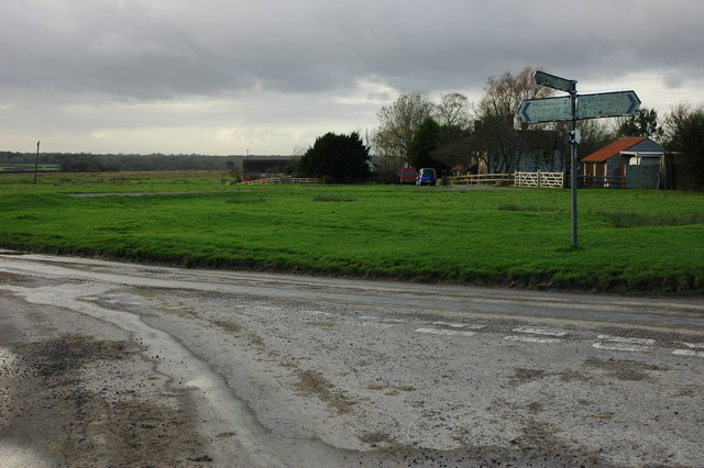
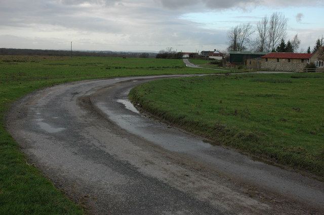
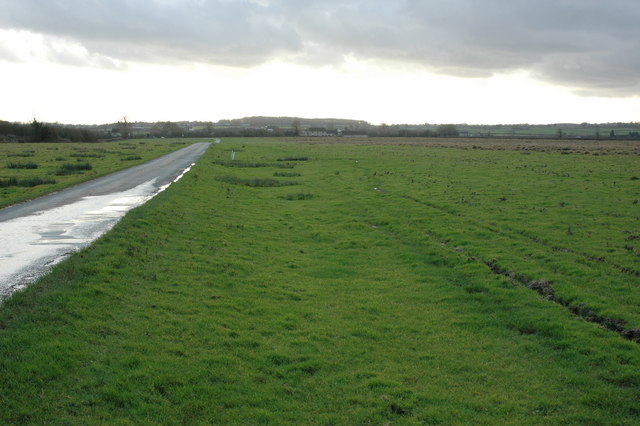
Hawkesbury Knoll Images

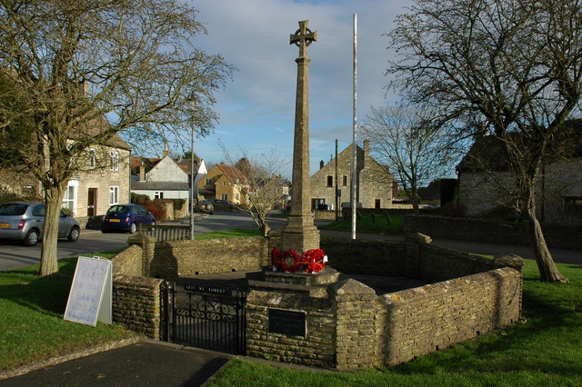
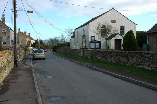
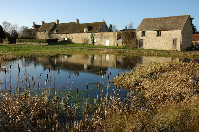
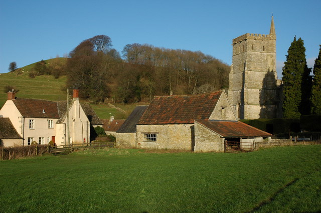
Images are sourced within 2km of 51.583366/-2.3356955 or Grid Reference ST7687. Thanks to Geograph Open Source API. All images are credited.

Old Milestone, France Lane In the parish of Hawkesbury, in the village of Hawkesbury Upton. NW side of road, embedded in the earth bank. Mileage is measured to Wotton under Edge. Rivet Benchmark on top, 176.7 m ASL.

Inscription (was): Wotton 5

Milestone Society ID: GL_WEHU05
Old Milestone, France Lane
In the parish of Hawkesbury, in the village of Hawkesbury Upton. NW side of road, embedded in the earth bank. Mileage is measured to Wotton under Edge. Rivet Benchmark on top, 176.7 m ASL. Inscription (was): Wotton 5 Milestone Society ID: GL_WEHU05
Stone Stile, St Mary's Church Curious cut-outs to let boots pass. There is a wider view showing the lychgate, see <a href="https://www.geograph.org.uk/photo/6493091">ST7686 : Lych gate, St Mary's, Hawkesbury</a>.
Stone Stile, St Mary's Church
Curious cut-outs to let boots pass. There is a wider view showing the lychgate, see ST7686 : Lych gate, St Mary's, Hawkesbury.
Flooded road at Lower Chalkley Farm The result of a rapid thaw of snow.
Flooded road at Lower Chalkley Farm
The result of a rapid thaw of snow.
Hawkesbury, St Mary
Hawkesbury, St Mary
The Post Office, Hawkesbury-Upton, Nr. Yate and Chipping Sodbury, S. Gloucs. The Post Office is located on Back Street on the same side of the street as the village Methodist Chapel.   Prim Curtis, the village postmistress from 1975 to 2005 has confirmed that in the early 1800s the building was originally the village police station, with a cell door and its spy-hole still in evidence at the time of the photograph.  Subsequently, the building was used by a local coal merchant, Mr. Hopkins, for coal storage and on the later initiative and application of Mr. and Mrs. Curtis to the Thornbury Council for approval, the building was converted into the village post office.  Hawkesbury-Upton is a Domesday Book listed village and is close to the Cotswold Way.
The Post Office, Hawkesbury-Upton, Nr. Yate and Chipping Sodbury, S. Gloucs.
The Post Office is located on Back Street on the same side of the street as the village Methodist Chapel. Prim Curtis, the village postmistress from 1975 to 2005 has confirmed that in the early 1800s the building was originally the village police station, with a cell door and its spy-hole still in evidence at the time of the photograph. Subsequently, the building was used by a local coal merchant, Mr. Hopkins, for coal storage and on the later initiative and application of Mr. and Mrs. Curtis to the Thornbury Council for approval, the building was converted into the village post office. Hawkesbury-Upton is a Domesday Book listed village and is close to the Cotswold Way.
The Somerset Monument, near Hawkesbury Upton, South Gloucs. The Somerset Monument was built by Lewis Vulliamy in 1846 in memory of Robert Edward Henry Somerset.  He was a general at the Battle of Waterloo of 1815, and died in 1842.   He was a nephew of the Sixth Duke of Beaufort.   The tower is approximately 100 feet tall and can be seen from the Tyndale Monument at North Nibley to the north-west.  (Reference: "Hawkesbury Conservation Area," South Gloucestershire Council 2008 website:  <span class="nowrap"><a title="www.southglos.gov.uk/NR/" rel="nofollow ugc noopener" href="http://www.southglos.gov.uk/NR/">Link</a><img style="margin-left:2px;" alt="External link" title="External link - shift click to open in new window" src="https://s1.geograph.org.uk/img/external.png" width="10" height="10"/></span> )
The Somerset Monument, near Hawkesbury Upton, South Gloucs.
The Somerset Monument was built by Lewis Vulliamy in 1846 in memory of Robert Edward Henry Somerset. He was a general at the Battle of Waterloo of 1815, and died in 1842. He was a nephew of the Sixth Duke of Beaufort. The tower is approximately 100 feet tall and can be seen from the Tyndale Monument at North Nibley to the north-west. (Reference: "Hawkesbury Conservation Area," South Gloucestershire Council 2008 website: LinkExternal link )
Fragrant fields near Hawkesbury Looking across the Severn plain from the Cotswold edge
Fragrant fields near Hawkesbury
Looking across the Severn plain from the Cotswold edge
Upton Coombe, Hawkesbury Upton Upton Coombe is situated to the north of Hawkesbury Upton. The Somerset Monument can be seen on the horizon.
Upton Coombe, Hawkesbury Upton
Upton Coombe is situated to the north of Hawkesbury Upton. The Somerset Monument can be seen on the horizon.
War Memorial in Hawkesbury Upton
Bethesda Chapel, Hawkesbury Upton The chapel dated from 1844.
Bethesda Chapel, Hawkesbury Upton
The chapel dated from 1844.
Hawkesbury Upton Cottages reflected in a pond in the village of Hawkesbury Upton. The Cotswold Way passes in front of these cottages.
Hawkesbury Upton
Cottages reflected in a pond in the village of Hawkesbury Upton. The Cotswold Way passes in front of these cottages.
Hawkesbury Hawkesbury nestles below the Cotswold escarpment, the church is dedicated to St Mary the Virgin.
Hawkesbury
Hawkesbury nestles below the Cotswold escarpment, the church is dedicated to St Mary the Virgin.
House in Hawkesbury Upton An imposing house in the centre of the village of Hawkesbury Upton.
House in Hawkesbury Upton
An imposing house in the centre of the village of Hawkesbury Upton.
Road junction on Hawkesbury Common
Road to Newhouse Farm, Hawkesbury Common
Road across Hawkesbury Common View to the south-south-west with Cat Cottage in the distance.
Road across Hawkesbury Common
View to the south-south-west with Cat Cottage in the distance.
Cottage at Orange End, near Hawkesbury
Oxleaze Farm near Hillesley Oxleaze Farm is situated on the eastern side of Inglestone Common.
Oxleaze Farm near Hillesley
Oxleaze Farm is situated on the eastern side of Inglestone Common.
Show me another place!

Hawkesbury Knoll is located at Grid Ref: ST7687 (Lat: 51.583366, Lng: -2.3356955)

Unitary Authority: South Gloucestershire

Police Authority: Avon and Somerset

What 3 Words

///coins.bandwagon.deeper. Near Horton, Gloucestershire

Related Wikis

Hawkesbury Quarry

Hawkesbury Quarry (grid reference ST771873) is a 0.25-hectare (0.62-acre) geological Site of Special Scientific Interest near the village of Hawkesbury...

Church of St Mary, Hawkesbury

The Church of St Mary in Hawkesbury, South Gloucestershire, England was built in the 12th century. It is a Grade I listed building. == History == The church...
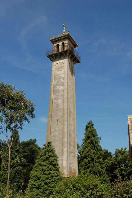
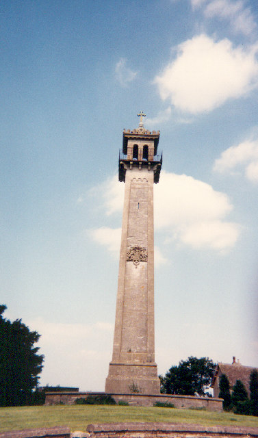
Somerset Monument

The Somerset Monument in Hawkesbury Upton, Gloucestershire, England was built in 1846 to commemorate Lord Robert Edward Somerset. It is a Grade II* listed...

Lord Robert Somerset

General Lord Robert Edward Henry Somerset (19 December 1776 – 1 September 1842) was a British soldier who fought during the Peninsular War and the War...

Nearby Amenities

Located within 500m of 51.583366,-2.3356955
Hawkesbury
Is In: South Gloucestershire, England, UK
Place: hamlet
Postal Code: GL9 1
Lat/Long: 51.5808558/-2.3364597
Post Box
Collection Times: Mo-Fr 16:15; Sa 09:30
Collection Times Checked: 2015-10-09
Operator: Royal Mail
Post Box Type: wall
Ref: GL9 7
Royal Cypher: EIIR
Royal Cypher Wikidata: Q33102113
Lat/Long: 51.5807674/-2.3367177
Power: pole
Lat/Long: 51.5793097/-2.337774
Power: pole
Lat/Long: 51.5799603/-2.3379843
Power: pole
Lat/Long: 51.580277/-2.3374691
Power: pole
Lat/Long: 51.5806465/-2.3368267
Power: pole
Lat/Long: 51.5810417/-2.3362077
Power: pole
Lat/Long: 51.5810752/-2.3353481
Barrier: stile
Lat/Long: 51.5804323/-2.3364754
The data included in this document is from www.openstreetmap.org. The data is made available under ODbL.

Have you been to Hawkesbury Knoll?

Leave your review of Hawkesbury Knoll below (or comments, questions and feedback).