Knott's Wood

Wood, Forest in Gloucestershire

England

Knott's Wood

Old Milestone, France Lane In the parish of Hawkesbury, in the village of Hawkesbury Upton. NW side of road, embedded in the earth bank. Mileage is measured to Wotton under Edge. Rivet Benchmark on top, 176.7 m ASL.

Inscription (was): Wotton 5

Milestone Society ID: GL_WEHU05
Old Milestone, France Lane Credit: Mr Red

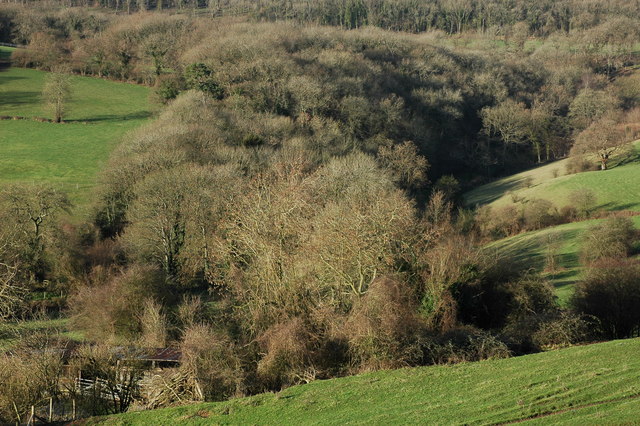
Knott's Wood is a picturesque forest located in the county of Gloucestershire in England. Covering an area of approximately 100 acres, this woodland is a hidden gem that attracts nature enthusiasts and outdoor lovers alike. Situated on the outskirts of the village of Knott's Green, the forest offers a serene and tranquil escape from the bustling city life.

The woodland is predominantly composed of native broadleaf trees, including oak, beech, and birch, which create a dense canopy that provides shade and shelter to a diverse range of wildlife. The forest floor is adorned with a carpet of bluebells and wildflowers during the spring, adding a touch of vibrant color to the surroundings.

Visitors to Knott's Wood can enjoy a variety of recreational activities. There are several well-marked walking trails that meander through the forest, offering opportunities for leisurely strolls and peaceful hikes. The trails are suitable for all ages and fitness levels, making it an ideal destination for families and individuals alike.

Birdwatchers will be delighted to discover a rich avian population within the woodland. Species such as woodpeckers, owls, and thrushes can be spotted, especially during the breeding season.

Knott's Wood is also home to a small picnic area, where visitors can relax and enjoy a bite to eat amidst the natural beauty. The peaceful atmosphere of the forest, coupled with the soothing sounds of chirping birds and rustling leaves, creates the perfect setting for a tranquil picnic experience.

Overall, Knott's Wood in Gloucestershire is a haven for nature lovers, offering a peaceful retreat where visitors can immerse themselves in the beauty of the natural world.

If you have any feedback on the listing, please let us know in the comments section below.
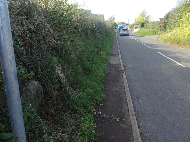
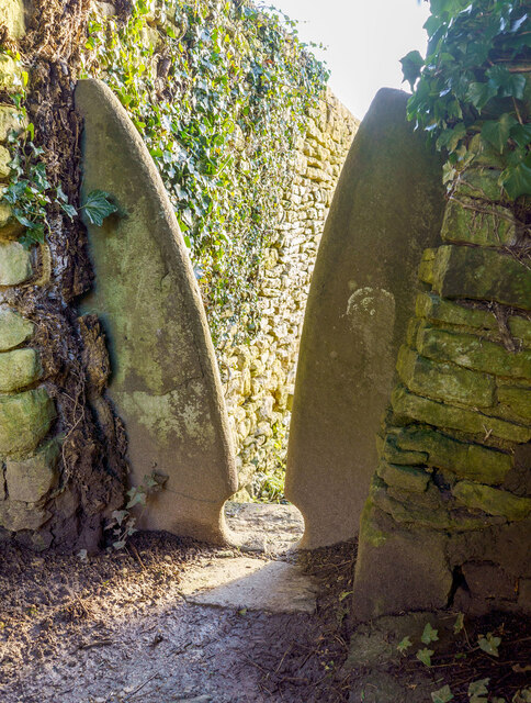
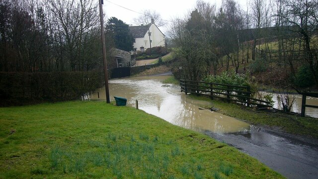
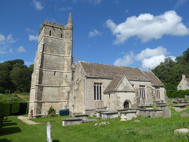
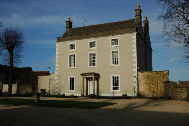
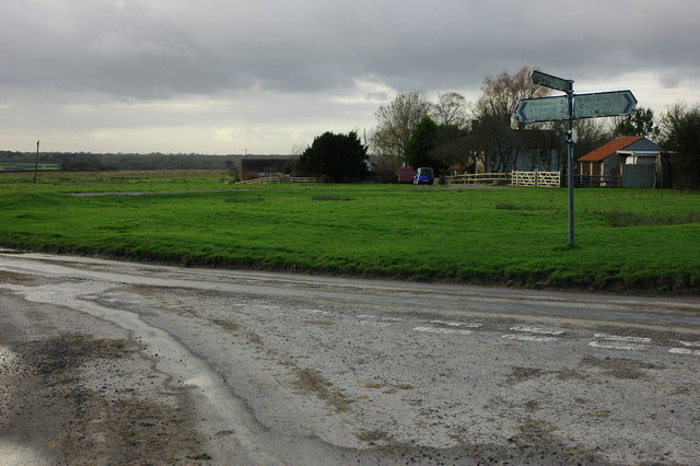
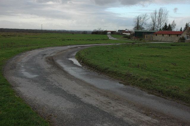
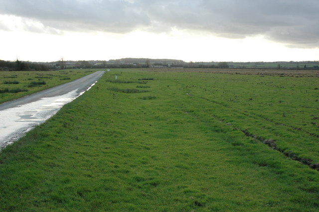
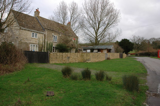
Knott's Wood Images

Images are sourced within 2km of 51.585754/-2.3336492 or Grid Reference ST7687. Thanks to Geograph Open Source API. All images are credited.

Old Milestone, France Lane In the parish of Hawkesbury, in the village of Hawkesbury Upton. NW side of road, embedded in the earth bank. Mileage is measured to Wotton under Edge. Rivet Benchmark on top, 176.7 m ASL.

Inscription (was): Wotton 5

Milestone Society ID: GL_WEHU05
Old Milestone, France Lane
In the parish of Hawkesbury, in the village of Hawkesbury Upton. NW side of road, embedded in the earth bank. Mileage is measured to Wotton under Edge. Rivet Benchmark on top, 176.7 m ASL. Inscription (was): Wotton 5 Milestone Society ID: GL_WEHU05
Stone Stile, St Mary's Church Curious cut-outs to let boots pass. There is a wider view showing the lychgate, see <a href="https://www.geograph.org.uk/photo/6493091">ST7686 : Lych gate, St Mary's, Hawkesbury</a>.
Stone Stile, St Mary's Church
Curious cut-outs to let boots pass. There is a wider view showing the lychgate, see ST7686 : Lych gate, St Mary's, Hawkesbury.
Flooded road at Lower Chalkley Farm The result of a rapid thaw of snow.
Flooded road at Lower Chalkley Farm
The result of a rapid thaw of snow.
Hawkesbury, St Mary
Hawkesbury, St Mary
The Post Office, Hawkesbury-Upton, Nr. Yate and Chipping Sodbury, S. Gloucs. The Post Office is located on Back Street on the same side of the street as the village Methodist Chapel.   Prim Curtis, the village postmistress from 1975 to 2005 has confirmed that in the early 1800s the building was originally the village police station, with a cell door and its spy-hole still in evidence at the time of the photograph.  Subsequently, the building was used by a local coal merchant, Mr. Hopkins, for coal storage and on the later initiative and application of Mr. and Mrs. Curtis to the Thornbury Council for approval, the building was converted into the village post office.  Hawkesbury-Upton is a Domesday Book listed village and is close to the Cotswold Way.
The Post Office, Hawkesbury-Upton, Nr. Yate and Chipping Sodbury, S. Gloucs.
The Post Office is located on Back Street on the same side of the street as the village Methodist Chapel. Prim Curtis, the village postmistress from 1975 to 2005 has confirmed that in the early 1800s the building was originally the village police station, with a cell door and its spy-hole still in evidence at the time of the photograph. Subsequently, the building was used by a local coal merchant, Mr. Hopkins, for coal storage and on the later initiative and application of Mr. and Mrs. Curtis to the Thornbury Council for approval, the building was converted into the village post office. Hawkesbury-Upton is a Domesday Book listed village and is close to the Cotswold Way.
The Somerset Monument, near Hawkesbury Upton, South Gloucs. The Somerset Monument was built by Lewis Vulliamy in 1846 in memory of Robert Edward Henry Somerset.  He was a general at the Battle of Waterloo of 1815, and died in 1842.   He was a nephew of the Sixth Duke of Beaufort.   The tower is approximately 100 feet tall and can be seen from the Tyndale Monument at North Nibley to the north-west.  (Reference: "Hawkesbury Conservation Area," South Gloucestershire Council 2008 website:  <span class="nowrap"><a title="www.southglos.gov.uk/NR/" rel="nofollow ugc noopener" href="http://www.southglos.gov.uk/NR/">Link</a><img style="margin-left:2px;" alt="External link" title="External link - shift click to open in new window" src="https://s1.geograph.org.uk/img/external.png" width="10" height="10"/></span> )
The Somerset Monument, near Hawkesbury Upton, South Gloucs.
The Somerset Monument was built by Lewis Vulliamy in 1846 in memory of Robert Edward Henry Somerset. He was a general at the Battle of Waterloo of 1815, and died in 1842. He was a nephew of the Sixth Duke of Beaufort. The tower is approximately 100 feet tall and can be seen from the Tyndale Monument at North Nibley to the north-west. (Reference: "Hawkesbury Conservation Area," South Gloucestershire Council 2008 website: LinkExternal link )
Fragrant fields near Hawkesbury Looking across the Severn plain from the Cotswold edge
Fragrant fields near Hawkesbury
Looking across the Severn plain from the Cotswold edge
Upton Coombe, Hawkesbury Upton Upton Coombe is situated to the north of Hawkesbury Upton. The Somerset Monument can be seen on the horizon.
Upton Coombe, Hawkesbury Upton
Upton Coombe is situated to the north of Hawkesbury Upton. The Somerset Monument can be seen on the horizon.
War Memorial in Hawkesbury Upton
Woodland in Upton Coombe
Bethesda Chapel, Hawkesbury Upton The chapel dated from 1844.
Bethesda Chapel, Hawkesbury Upton
The chapel dated from 1844.
Hawkesbury Upton Cottages reflected in a pond in the village of Hawkesbury Upton. The Cotswold Way passes in front of these cottages.
Hawkesbury Upton
Cottages reflected in a pond in the village of Hawkesbury Upton. The Cotswold Way passes in front of these cottages.
Hawkesbury Hawkesbury nestles below the Cotswold escarpment, the church is dedicated to St Mary the Virgin.
Hawkesbury
Hawkesbury nestles below the Cotswold escarpment, the church is dedicated to St Mary the Virgin.
House in Hawkesbury Upton An imposing house in the centre of the village of Hawkesbury Upton.
House in Hawkesbury Upton
An imposing house in the centre of the village of Hawkesbury Upton.
Road junction on Hawkesbury Common
Road to Newhouse Farm, Hawkesbury Common
Road across Hawkesbury Common View to the south-south-west with Cat Cottage in the distance.
Road across Hawkesbury Common
View to the south-south-west with Cat Cottage in the distance.
Cottage at Orange End, near Hawkesbury
Show me another place!

Knott's Wood is located at Grid Ref: ST7687 (Lat: 51.585754, Lng: -2.3336492)

Unitary Authority: South Gloucestershire

Police Authority: Avon and Somerset

What 3 Words

///rivals.unroll.dockers. Near Horton, Gloucestershire

Related Wikis

Hawkesbury Quarry

Hawkesbury Quarry (grid reference ST771873) is a 0.25-hectare (0.62-acre) geological Site of Special Scientific Interest near the village of Hawkesbury...
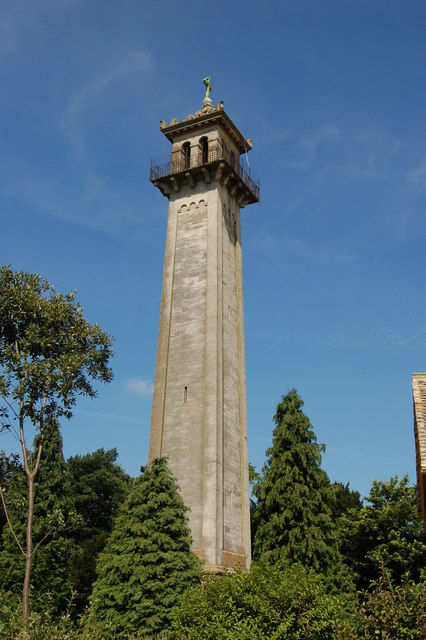
Somerset Monument

The Somerset Monument in Hawkesbury Upton, Gloucestershire, England was built in 1846 to commemorate Lord Robert Edward Somerset. It is a Grade II* listed...

Lord Robert Somerset

General Lord Robert Edward Henry Somerset (19 December 1776 – 1 September 1842) was a British soldier who fought during the Peninsular War and the War...

Hawkesbury, Gloucestershire

Hawkesbury is a hamlet and civil parish in the area of the South Gloucestershire unitary authority in England. The hamlet, consisting of a few cottages...

Nearby Amenities

Located within 500m of 51.585754,-2.3336492
Bench
Backrest: yes
Lat/Long: 51.58708/-2.3307223
The data included in this document is from www.openstreetmap.org. The data is made available under ODbL.

Have you been to Knott's Wood?

Leave your review of Knott's Wood below (or comments, questions and feedback).