Abbeypark Hill
Hill, Mountain in Westmorland Eden
England
Abbeypark Hill
Abbeypark Hill is a prominent hill located in the county of Westmorland, in the northwest region of England. Situated in the Lake District National Park, it is known for its picturesque landscape and stunning views.
Rising to an elevation of approximately 1,500 feet (457 meters), Abbeypark Hill is considered a part of the Pennines, a range of hills and mountains that stretch across northern England. Its location within the Lake District National Park makes it a popular destination for hikers, nature enthusiasts, and photographers.
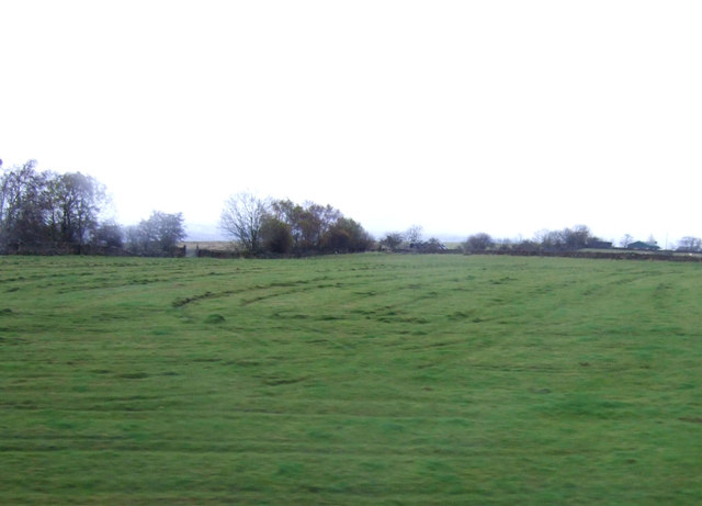
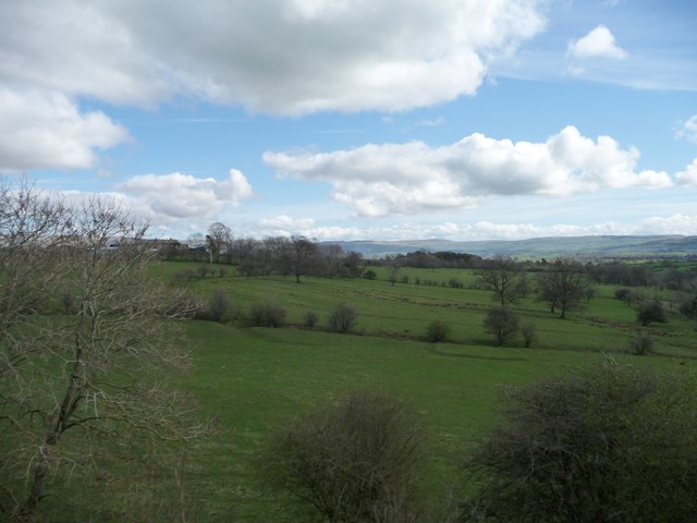
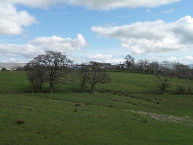
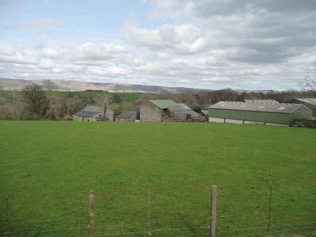
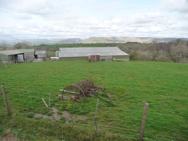
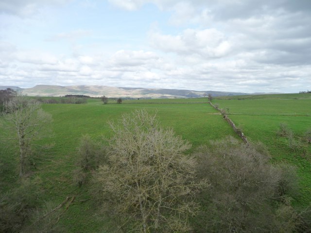
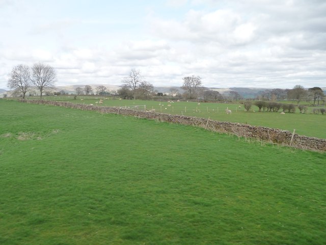
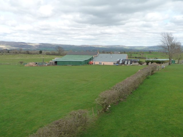
The hill is characterized by its rolling green slopes and rocky outcrops, which provide a diverse habitat for a variety of flora and fauna. Heather, grasses, and shrubs cover the hillside, creating a vibrant and colorful scene, particularly during summer months. The hill offers a unique opportunity to spot wildlife such as red deer, foxes, and various bird species.
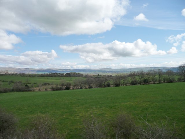
At the summit of Abbeypark Hill, visitors are rewarded with breathtaking panoramic views of the surrounding countryside, including nearby valleys, lakes, and other peaks. On a clear day, it is even possible to see the Irish Sea to the west.
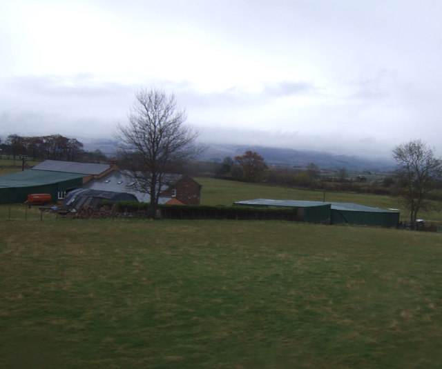
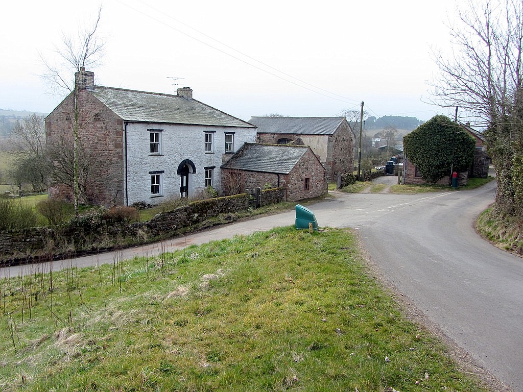
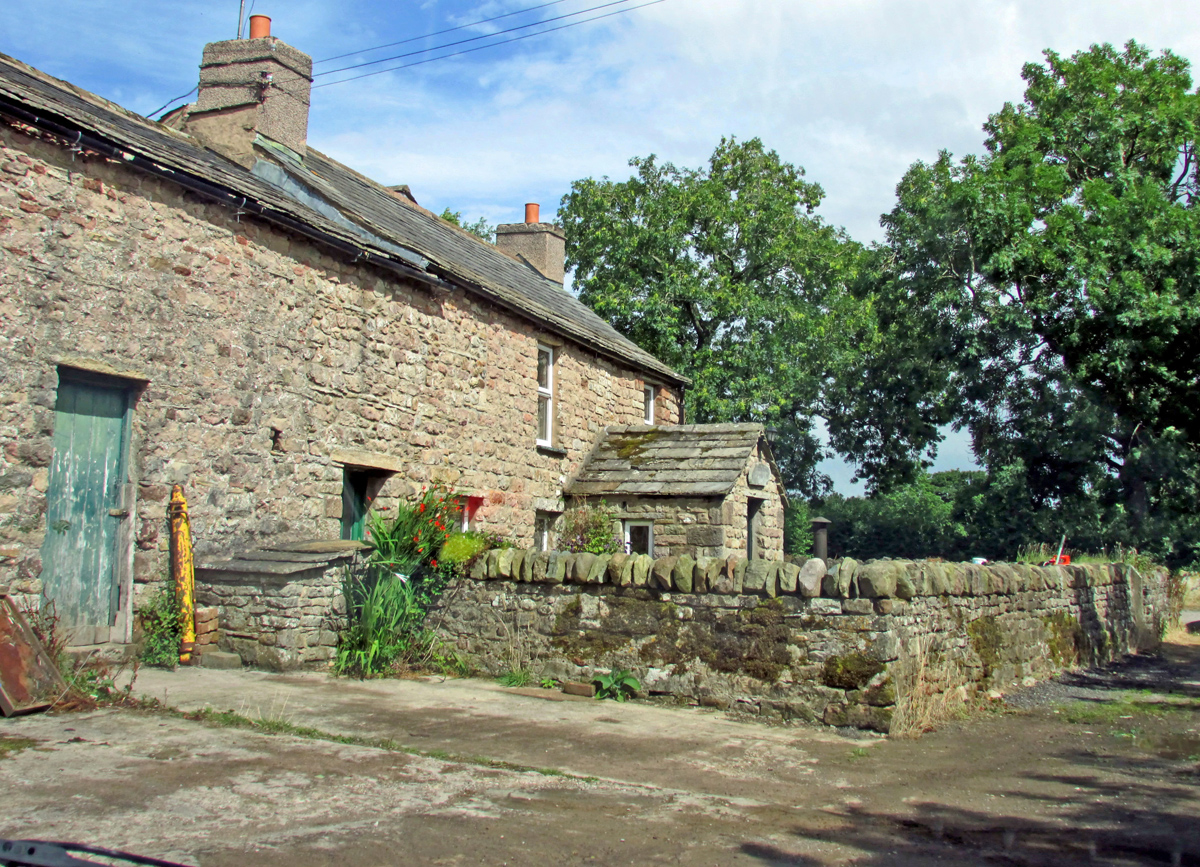
Accessible via well-marked footpaths, Abbeypark Hill attracts both experienced hikers and casual walkers. The hill's location within the Lake District National Park means that it is easily reached from nearby towns and villages, making it a popular destination for locals and tourists alike.
Overall, Abbeypark Hill is a stunning natural feature in Westmorland, offering visitors a chance to immerse themselves in the beauty of the Lake District National Park and enjoy the tranquility of the surrounding countryside.
If you have any feedback on the listing, please let us know in the comments section below.
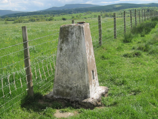
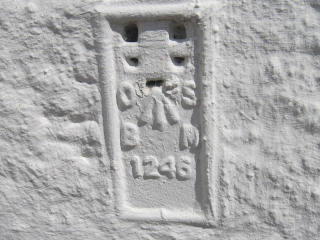
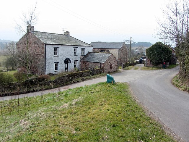
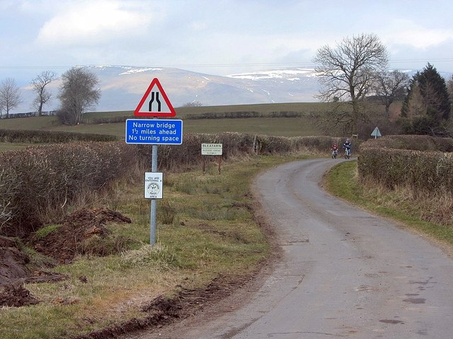
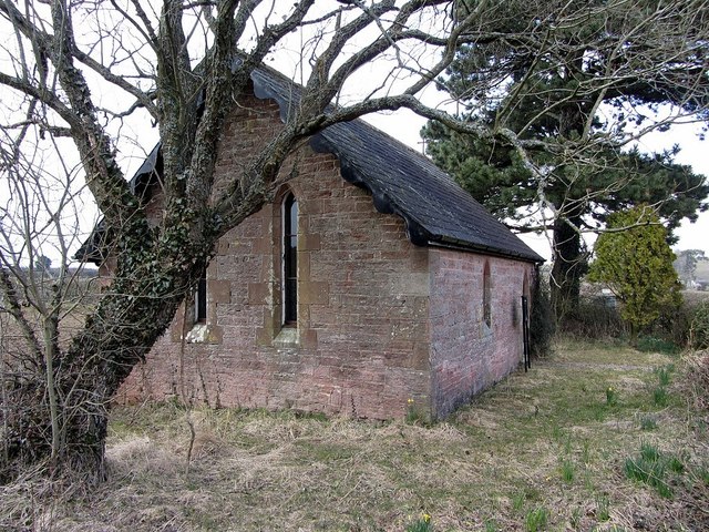
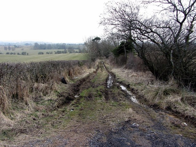
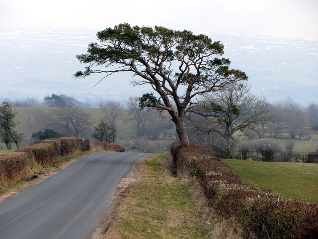
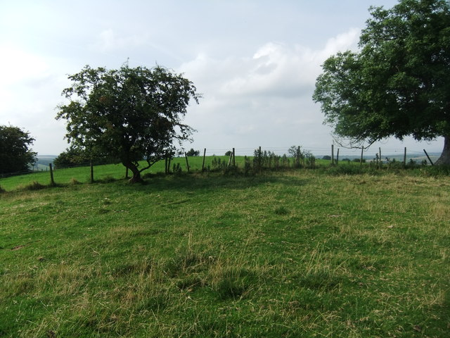
Abbeypark Hill Images
Images are sourced within 2km of 54.511714/-2.4136376 or Grid Reference NY7313. Thanks to Geograph Open Source API. All images are credited.
Abbeypark Hill is located at Grid Ref: NY7313 (Lat: 54.511714, Lng: -2.4136376)
Administrative County: Cumbria
District: Eden
Police Authority: Cumbria
What 3 Words
///trinkets.unfilled.restores. Near Kirkby Stephen, Cumbria
Nearby Locations
Related Wikis
Bleatarn
Bleatarn is a hamlet in Cumbria, England. It is located 3.3 miles (5.3 km) by road to the northwest of Soulby. == See also == List of places in Cumbria...

East Westmorland Rural District
East Westmorland was the name of a rural district in the administrative county of Westmorland from 1894 to 1935. The district was created by the Local...

Warcop
Warcop is a village and civil parish in the Eden district of Cumbria, England. The parish had a population of 491 in the 2001 census, increasing to 532...

Soulby
Soulby is a village and civil parish in the Eden district of Cumbria, England. The parish had a population of 186 in 2001, increasing slightly to 187 at...
Little Musgrave
Little Musgrave is a small village and former civil parish, now in the parish of Musgrave, in the Eden district of Cumbria, England. In 1891 the parish...
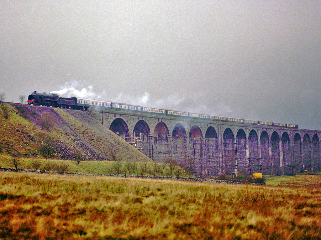
Settle–Carlisle line
The Settle–Carlisle line (also known as the Settle and Carlisle (S&C)) is a 73-mile-long (117 km) main railway line in northern England. The route, which...
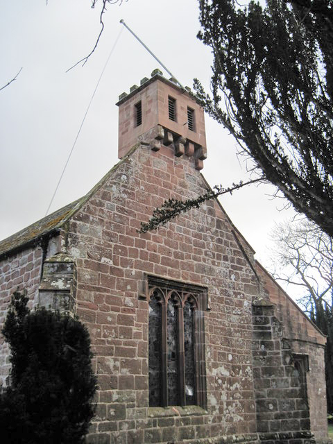
St Columba's Church, Warcop
St Columba's Church is in the village of Warcop, Cumbria, England. It is an active Anglican parish church in the deanery of Appleby, the archdeaconry...

Musgrave, Cumbria
Musgrave is a civil parish in the Eden District of Cumbria, England. It has a population of 152, and contains the villages of Little Musgrave and Great...
Have you been to Abbeypark Hill?
Leave your review of Abbeypark Hill below (or comments, questions and feedback).