Coneygore Hill

Hill, Mountain in Somerset South Somerset

England

Coneygore Hill

Charlton Musgrove : Rectory Lane Looking along a country lane.
Charlton Musgrove : Rectory Lane Credit: Lewis Clarke

Coneygore Hill is a prominent geographical feature located in Somerset, England. It is classified as a hill rather than a mountain due to its relatively modest elevation. Situated in the Mendip Hills, Coneygore Hill reaches a height of approximately 250 meters (820 feet) above sea level.

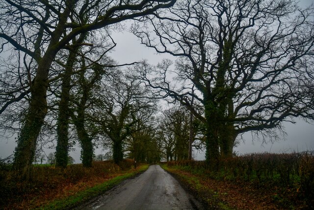
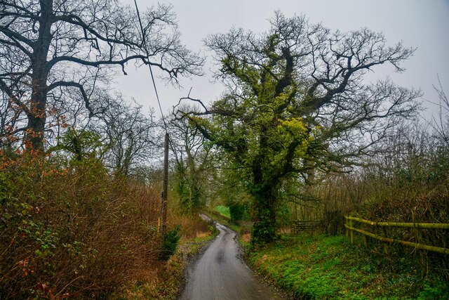
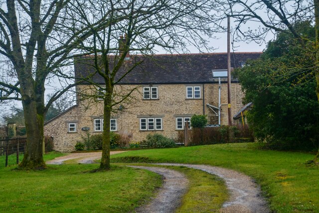
This hill is known for its picturesque surroundings and stunning views of the surrounding countryside. It is covered in lush greenery, with patches of woodland and open grassland. Coneygore Hill is home to a diverse range of plant and animal species, making it an ideal spot for nature enthusiasts and hikers.

The hill offers several walking trails, allowing visitors to explore its natural beauty and enjoy the peaceful ambiance. One popular route is the Coneygore Hill Circular Walk, which takes you through the surrounding area, passing through charming villages and fields.

Coneygore Hill has historical significance as well. It is believed to have been a site of human activity dating back to prehistoric times. Archaeological evidence suggests that it was once used as a burial ground and later as a defensive structure during the Iron Age.

In recent years, Coneygore Hill has gained popularity among outdoor enthusiasts and tourists seeking a tranquil escape from city life. Its serene atmosphere, combined with its natural beauty and historical significance, make it a must-visit destination in Somerset.

If you have any feedback on the listing, please let us know in the comments section below.

Coneygore Hill Images

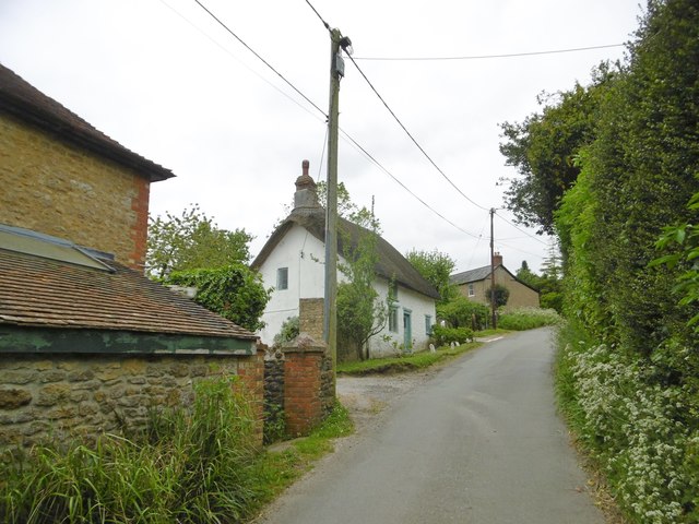
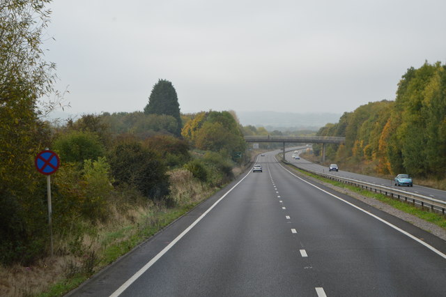
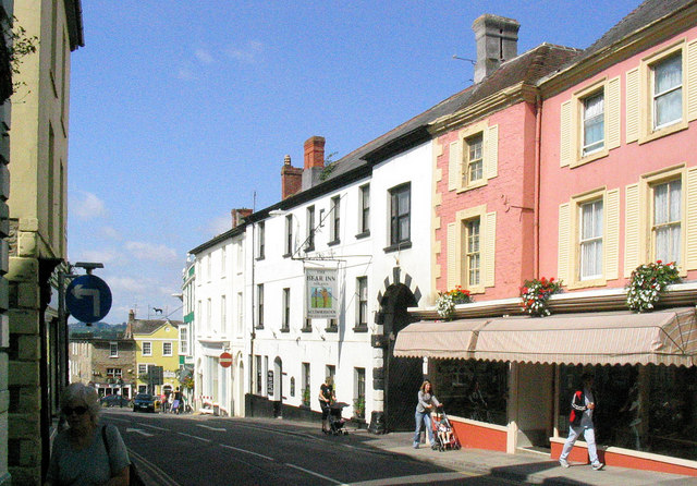
Images are sourced within 2km of 51.053698/-2.3820695 or Grid Reference ST7328. Thanks to Geograph Open Source API. All images are credited.

Charlton Musgrove : Rectory Lane Looking along a country lane.
Charlton Musgrove : Rectory Lane
Looking along a country lane.
Charlton Musgrove : Rectory Lane Looking along Rectory Lane.
Charlton Musgrove : Rectory Lane
Looking along Rectory Lane.
Charlton Musgrove : Gardeners Cottage Looking to a house in the countryside.
Charlton Musgrove : Gardeners Cottage
Looking to a house in the countryside.
Old Milestone by road, Leigh Common; 20m East entrance Leigh Farm The Milestone is located in tarmac in front of disused building on verge on the North of the road.  Parish of Pen Selwood (South Somerset District). Metal plate attached to stone post, Wincanton iron plate design, erected by the Wincanton turnpike trust in the 19th Century, 12cm stump only. An earlier photograph can be found here: <a title="https://www.geograph.org.uk/photo/6102803" href="https://www.geograph.org.uk/photo/6102803">Link</a> 

Inscription reads:-   
(Wincanton / 2 / Hindon / 12 /) 

Milestone Society National ID: SO_WCHD02
Old Milestone by road, Leigh Common; 20m East entrance Leigh Farm
The Milestone is located in tarmac in front of disused building on verge on the North of the road.  Parish of Pen Selwood (South Somerset District). Metal plate attached to stone post, Wincanton iron plate design, erected by the Wincanton turnpike trust in the 19th Century, 12cm stump only. An earlier photograph can be found here: Link  Inscription reads:- (Wincanton / 2 / Hindon / 12 /) Milestone Society National ID: SO_WCHD02
Benchmark on #83 High Street, Wincanton Very worn Ordnance Survey benchmark, described on database at <span class="nowrap"><a title="http://www.bench-marks.org.uk/bm48211" rel="nofollow ugc noopener" href="http://www.bench-marks.org.uk/bm48211">Link</a><img style="margin-left:2px;" alt="External link" title="External link - shift click to open in new window" src="https://s1.geograph.org.uk/img/external.png" width="10" height="10"/></span>.
Benchmark on #83 High Street, Wincanton
Very worn Ordnance Survey benchmark, described on database at LinkExternal link.
Benchmark on St Luke's and St Theresa's Church, Wincanton Ordnance Survey benchmark, described on database at <span class="nowrap"><a title="http://www.bench-marks.org.uk/bm48212" rel="nofollow ugc noopener" href="http://www.bench-marks.org.uk/bm48212">Link</a><img style="margin-left:2px;" alt="External link" title="External link - shift click to open in new window" src="https://s1.geograph.org.uk/img/external.png" width="10" height="10"/></span>.
Benchmark on St Luke's and St Theresa's Church, Wincanton
Ordnance Survey benchmark, described on database at LinkExternal link.
Common Road Bridge, A303 The A303 is a main trunk road running 92 miles between Basingstoke and Honiton. Along with the A30 and M3 it forms a major route between London and the South West. Much of the road is dual carriageway, but some stretches remain single and prone to congestion.

Wikipedia: <span class="nowrap"><a title="http://en.wikipedia.org/wiki/A303_road" rel="nofollow ugc noopener" href="http://en.wikipedia.org/wiki/A303_road">Link</a><img style="margin-left:2px;" alt="External link" title="External link - shift click to open in new window" src="https://s1.geograph.org.uk/img/external.png" width="10" height="10"/></span>
Common Road Bridge, A303
The A303 is a main trunk road running 92 miles between Basingstoke and Honiton. Along with the A30 and M3 it forms a major route between London and the South West. Much of the road is dual carriageway, but some stretches remain single and prone to congestion. Wikipedia: LinkExternal link
A303, eastbound The A303 is a main trunk road running 92 miles between Basingstoke and Honiton. Along with the A30 and M3 it forms a major route between London and the South West. Much of the road is dual carriageway, but some stretches remain single and prone to congestion.

Wikipedia: <span class="nowrap"><a title="http://en.wikipedia.org/wiki/A303_road" rel="nofollow ugc noopener" href="http://en.wikipedia.org/wiki/A303_road">Link</a><img style="margin-left:2px;" alt="External link" title="External link - shift click to open in new window" src="https://s1.geograph.org.uk/img/external.png" width="10" height="10"/></span>
A303, eastbound
The A303 is a main trunk road running 92 miles between Basingstoke and Honiton. Along with the A30 and M3 it forms a major route between London and the South West. Much of the road is dual carriageway, but some stretches remain single and prone to congestion. Wikipedia: LinkExternal link
Stoke Trister, Church Farm On Bayford Lane, near St. Andrew's.
Stoke Trister, Church Farm
On Bayford Lane, near St. Andrew's.
Stoke Trister, St. Andrew's Parish church on Bayford Lane, built 1841 and listed by Historic England (Grade II): <span class="nowrap"><a title="http://www.imagesofengland.org.uk/Details/Default.aspx?id=415943&mode=adv" rel="nofollow ugc noopener" href="http://www.imagesofengland.org.uk/Details/Default.aspx?id=415943&mode=adv">Link</a><img style="margin-left:2px;" alt="External link" title="External link - shift click to open in new window" src="https://s1.geograph.org.uk/img/external.png" width="10" height="10"/></span>
Stoke Trister, St. Andrew's
Parish church on Bayford Lane, built 1841 and listed by Historic England (Grade II): LinkExternal link
Stoke Trister, Courtfield C18 cottage on Bayford Lane; listed by Historic England: <span class="nowrap"><a title="http://www.imagesofengland.org.uk/Details/Default.aspx?id=415945&mode=adv" rel="nofollow ugc noopener" href="http://www.imagesofengland.org.uk/Details/Default.aspx?id=415945&mode=adv">Link</a><img style="margin-left:2px;" alt="External link" title="External link - shift click to open in new window" src="https://s1.geograph.org.uk/img/external.png" width="10" height="10"/></span>
Stoke Trister, Courtfield
C18 cottage on Bayford Lane; listed by Historic England: LinkExternal link
Stoke Trister, Wayside Thatch C18 thatched cottage on Bayford Lane; listed by Historic England (Grade II): <span class="nowrap"><a title="http://www.imagesofengland.org.uk/Details/Default.aspx?id=415946&mode=adv" rel="nofollow ugc noopener" href="http://www.imagesofengland.org.uk/Details/Default.aspx?id=415946&mode=adv">Link</a><img style="margin-left:2px;" alt="External link" title="External link - shift click to open in new window" src="https://s1.geograph.org.uk/img/external.png" width="10" height="10"/></span>
Stoke Trister, Wayside Thatch
C18 thatched cottage on Bayford Lane; listed by Historic England (Grade II): LinkExternal link
A303, Leigh Common The A303 is a main trunk road running 92 miles between Basingstoke and Honiton. Along with the A30 and M3 it forms a major route between London and the South West. Much of the road is dual carriageway, but some stretches remain single and prone to congestion.

Wikipedia: <span class="nowrap"><a title="http://en.wikipedia.org/wiki/A303_road" rel="nofollow ugc noopener" href="http://en.wikipedia.org/wiki/A303_road">Link</a><img style="margin-left:2px;" alt="External link" title="External link - shift click to open in new window" src="https://s1.geograph.org.uk/img/external.png" width="10" height="10"/></span>
A303, Leigh Common
The A303 is a main trunk road running 92 miles between Basingstoke and Honiton. Along with the A30 and M3 it forms a major route between London and the South West. Much of the road is dual carriageway, but some stretches remain single and prone to congestion. Wikipedia: LinkExternal link
Layby, A303 The A303 is a main trunk road running 92 miles between Basingstoke and Honiton. Along with the A30 and M3 it forms a major route between London and the South West. Much of the road is dual carriageway, but some stretches remain single and prone to congestion.

Wikipedia: <span class="nowrap"><a title="http://en.wikipedia.org/wiki/A303_road" rel="nofollow ugc noopener" href="http://en.wikipedia.org/wiki/A303_road">Link</a><img style="margin-left:2px;" alt="External link" title="External link - shift click to open in new window" src="https://s1.geograph.org.uk/img/external.png" width="10" height="10"/></span>
Layby, A303
The A303 is a main trunk road running 92 miles between Basingstoke and Honiton. Along with the A30 and M3 it forms a major route between London and the South West. Much of the road is dual carriageway, but some stretches remain single and prone to congestion. Wikipedia: LinkExternal link
A303, westbound The A303 is a main trunk road running 92 miles between Basingstoke and Honiton. Along with the A30 and M3 it forms a major route between London and the South West. Much of the road is dual carriageway, but some stretches remain single and prone to congestion.

Wikipedia: <span class="nowrap"><a title="http://en.wikipedia.org/wiki/A303_road" rel="nofollow ugc noopener" href="http://en.wikipedia.org/wiki/A303_road">Link</a><img style="margin-left:2px;" alt="External link" title="External link - shift click to open in new window" src="https://s1.geograph.org.uk/img/external.png" width="10" height="10"/></span>
A303, westbound
The A303 is a main trunk road running 92 miles between Basingstoke and Honiton. Along with the A30 and M3 it forms a major route between London and the South West. Much of the road is dual carriageway, but some stretches remain single and prone to congestion. Wikipedia: LinkExternal link
A303, Wincanton bypass The A303 is a main trunk road running 92 miles between Basingstoke and Honiton. Along with the A30 and M3 it forms a major route between London and the South West. Much of the road is dual carriageway, but some stretches remain single and prone to congestion.

Wikipedia: <span class="nowrap"><a title="http://en.wikipedia.org/wiki/A303_road" rel="nofollow ugc noopener" href="http://en.wikipedia.org/wiki/A303_road">Link</a><img style="margin-left:2px;" alt="External link" title="External link - shift click to open in new window" src="https://s1.geograph.org.uk/img/external.png" width="10" height="10"/></span>
A303, Wincanton bypass
The A303 is a main trunk road running 92 miles between Basingstoke and Honiton. Along with the A30 and M3 it forms a major route between London and the South West. Much of the road is dual carriageway, but some stretches remain single and prone to congestion. Wikipedia: LinkExternal link
Oil tanker parked by the A303 The A303 is a main trunk road running 92 miles between Basingstoke and Honiton. Along with the A30 and M3 it forms a major route between London and the South West. Much of the road is dual carriageway, but some stretches remain single and prone to congestion.

Wikipedia: <span class="nowrap"><a title="http://en.wikipedia.org/wiki/A303_road" rel="nofollow ugc noopener" href="http://en.wikipedia.org/wiki/A303_road">Link</a><img style="margin-left:2px;" alt="External link" title="External link - shift click to open in new window" src="https://s1.geograph.org.uk/img/external.png" width="10" height="10"/></span>
Oil tanker parked by the A303
The A303 is a main trunk road running 92 miles between Basingstoke and Honiton. Along with the A30 and M3 it forms a major route between London and the South West. Much of the road is dual carriageway, but some stretches remain single and prone to congestion. Wikipedia: LinkExternal link
Show me another place!

Coneygore Hill is located at Grid Ref: ST7328 (Lat: 51.053698, Lng: -2.3820695)

Administrative County: Somerset

District: South Somerset

Police Authority: Avon and Somerset

What 3 Words

///adventure.playroom.fell. Near Wincanton, Somerset

Related Wikis

Stoke Trister

Stoke Trister is a village and civil parish 2 miles (3 km) south-east of Wincanton and 5 miles (8 km) north-west of Gillingham close to the Dorset border...

Wincanton Town F.C.

Wincanton Town Football Club is a football club based in Wincanton, Somerset, England. They are currently members of the Western League Division One and...

Wincanton Skirmish

The Wincanton Skirmish occurred on 20 November 1688 during the Glorious Revolution. A small patrol of the Royal Army led by the Irish officer Patrick Sarsfield...

The Dogs, Wincanton

The Dogs (also known as The Old House) in Wincanton, Somerset, England was built around 1650 and has been designated as a Grade I listed building.The...

Wincanton Rural District

Wincanton was a rural district in Somerset, England, from 1894 to 1974. It was created in 1894 under the Local Government Act 1894. In 1974 it was abolished...

Wincanton

Wincanton ( or ) is a town and electoral ward in South Somerset, southwest England. The town lies off the A303 road, a main route between London and South...

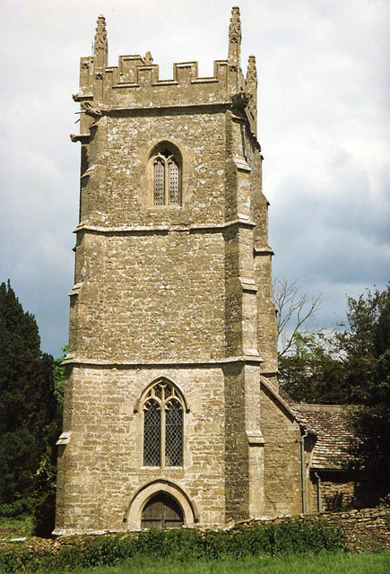
Church of St Stephen, Charlton Musgrove

The Anglican Church of St Stephen in Charlton Musgrove in the English county of Somerset was built in the 13th century. It is a Grade II* listed building...

Church of St Peter and St Paul, Wincanton

The Anglican Church of St Peter and St Paul in Wincanton within the English county of Somerset is a Grade II* listed building. The Church of St Peter and...

Nearby Amenities

Located within 500m of 51.053698,-2.3820695
The data included in this document is from www.openstreetmap.org. The data is made available under ODbL.

Have you been to Coneygore Hill?

Leave your review of Coneygore Hill below (or comments, questions and feedback).