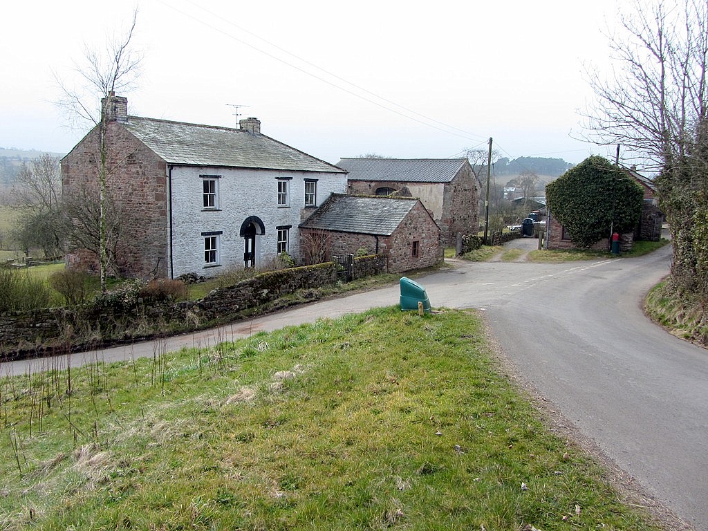
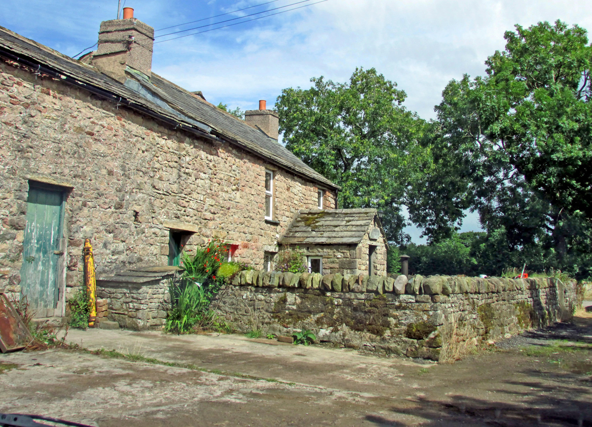
Mill Hill
Hill, Mountain in Westmorland Eden
England
Mill Hill
Mill Hill is a prominent hill located in the district of Westmorland in the county of Cumbria, England. It is a part of the Lake District National Park, renowned for its stunning natural beauty and picturesque landscapes. Rising to an elevation of approximately 1,300 feet (396 meters), Mill Hill offers breathtaking panoramic views of the surrounding countryside and nearby hills and mountains.
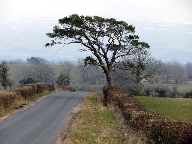
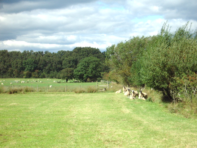
The hill is predominantly covered in lush green vegetation, including grasslands and scattered trees, creating a serene and tranquil atmosphere. It is a popular destination for hikers, nature enthusiasts, and photographers, who are drawn to its outstanding vistas and the opportunity to explore its diverse flora and fauna.
Historically, Mill Hill was used for sheep farming, and remnants of dry stone walls can still be seen traversing its slopes. Today, it is a protected area, ensuring the preservation of its natural habitats and wildlife.
The ascent to the summit of Mill Hill is moderately challenging, with well-defined footpaths leading to the top. The hill offers a variety of walking routes, catering to different fitness levels and preferences. These routes often pass by ancient landmarks, such as stone circles or cairns, adding an element of historical intrigue to the hiking experience.
Mill Hill is easily accessible by road, with parking facilities available nearby. It is located approximately 5 miles (8 kilometers) from the town of Kendal, making it a convenient day trip destination for locals and visitors alike.
Overall, Mill Hill in Westmorland is a captivating hill that showcases the natural beauty and charm of the Lake District, offering a delightful outdoor experience for all who venture to its summit.
If you have any feedback on the listing, please let us know in the comments section below.
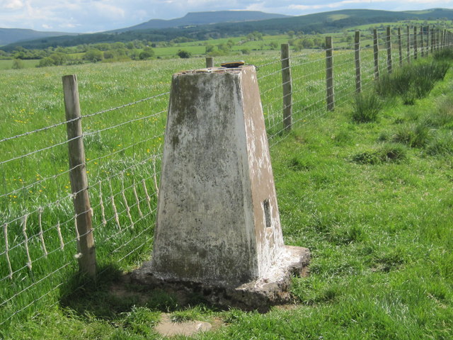
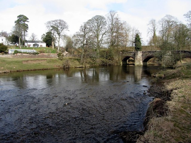
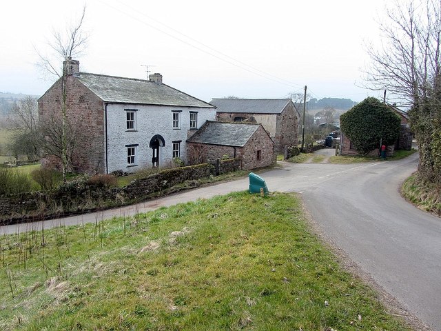
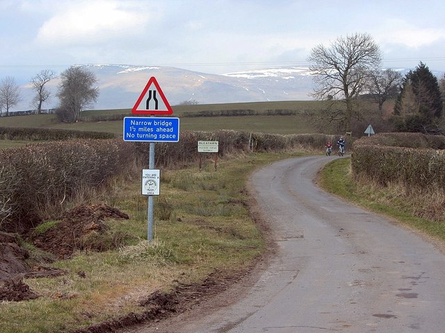
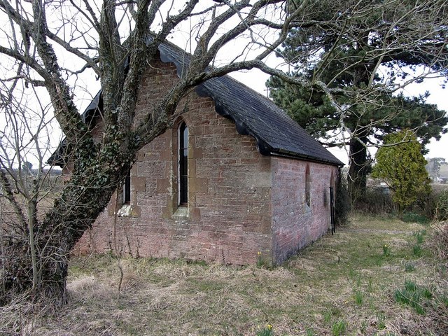
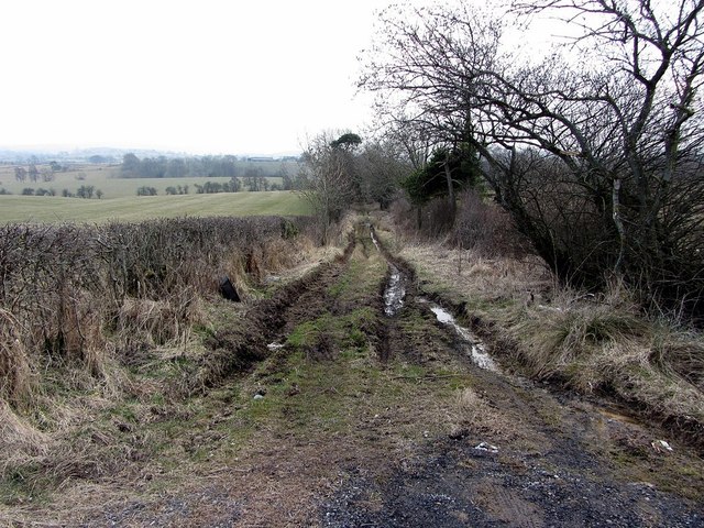
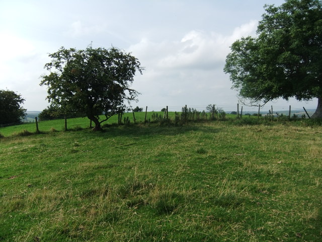
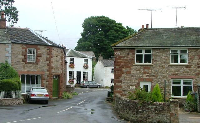
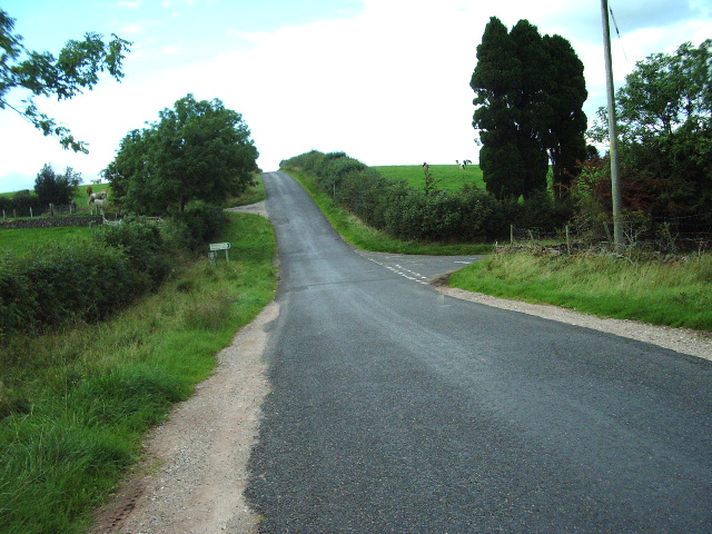
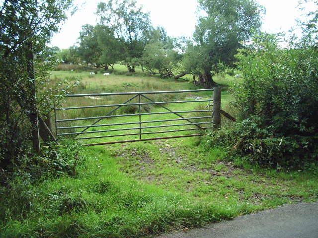
Mill Hill Images
Images are sourced within 2km of 54.517474/-2.4059257 or Grid Reference NY7313. Thanks to Geograph Open Source API. All images are credited.


Mill Hill is located at Grid Ref: NY7313 (Lat: 54.517474, Lng: -2.4059257)
Administrative County: Cumbria
District: Eden
Police Authority: Cumbria
What 3 Words
///leap.fights.gadgets. Near Kirkby Stephen, Cumbria
Nearby Locations
Related Wikis
Bleatarn
Bleatarn is a hamlet in Cumbria, England. It is located 3.3 miles (5.3 km) by road to the northwest of Soulby. == See also == List of places in Cumbria...

Warcop
Warcop is a village and civil parish in the Eden district of Cumbria, England. The parish had a population of 491 in the 2001 census, increasing to 532...

East Westmorland Rural District
East Westmorland was the name of a rural district in the administrative county of Westmorland from 1894 to 1935. The district was created by the Local...
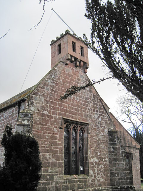
St Columba's Church, Warcop
St Columba's Church is in the village of Warcop, Cumbria, England. It is an active Anglican parish church in the deanery of Appleby, the archdeaconry...
Little Musgrave
Little Musgrave is a small village and former civil parish, now in the parish of Musgrave, in the Eden district of Cumbria, England. In 1891 the parish...

Warcop railway station
Warcop railway station was situated on the Eden Valley Railway between Penrith and Kirkby Stephen East. It served the village of Warcop. The station opened...
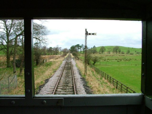
Eden Valley Railway (heritage railway)
The Eden Valley Railway (EVR) is a standard gauge heritage railway in Cumbria, England. It runs over a 2.2 miles (3.5 km) section of the original Eden...

Musgrave, Cumbria
Musgrave is a civil parish in the Eden District of Cumbria, England. It has a population of 152, and contains the villages of Little Musgrave and Great...
Nearby Amenities
Located within 500m of 54.517474,-2.4059257Have you been to Mill Hill?
Leave your review of Mill Hill below (or comments, questions and feedback).