Flat Hill

Hill, Mountain in Westmorland Eden

England

Flat Hill

Ordnance Survey Trig Pillar 10691 This pillar can be found on Strutforth Hill.
Ordnance Survey Trig Pillar 10691 Credit: Peter Wood

Flat Hill is a prominent geographical feature located in the region of Westmorland, in the northwest of England. Rising to an elevation of 1,245 feet (379 meters), it is classified as a hill rather than a mountain. Situated within the picturesque Lake District National Park, Flat Hill offers breathtaking panoramic views of the surrounding countryside.

The hill is characterized by its relatively flat and rounded summit, which gives it its name. It is predominantly covered in lush green grasses and scattered with a variety of wildflowers, providing a vibrant and colorful landscape during the summer months. The hill is not densely forested, allowing for unobstructed vistas of the rolling hills and valleys that stretch in every direction.

Flat Hill is a popular destination for nature enthusiasts, hikers, and photographers who are drawn to its natural beauty and tranquility. Numerous walking trails lead to the summit, offering varying degrees of difficulty to accommodate visitors of all fitness levels. Many visitors also take advantage of the hill's favorable location to enjoy picnics or simply relax and take in the stunning views.

From the summit of Flat Hill, visitors are rewarded with breathtaking vistas of the nearby lakes, including Windermere and Coniston Water, as well as the iconic peaks of the Lake District, such as Scafell Pike and Helvellyn. The hill's strategic location also allows for stunning sunsets and sunrises, casting a golden glow over the landscape.

In conclusion, Flat Hill in Westmorland is a picturesque and accessible hill that offers visitors stunning views of the Lake District. With its gentle slopes, wildflower-strewn meadows, and panoramic vistas, it is a must-visit destination for those seeking to immerse themselves in the natural beauty of the region.

If you have any feedback on the listing, please let us know in the comments section below.
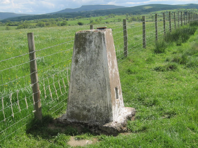
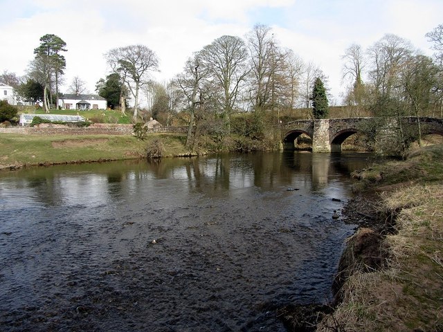
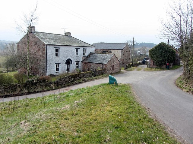
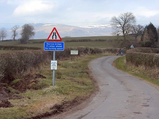
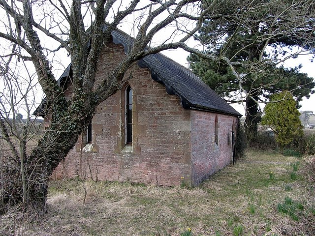
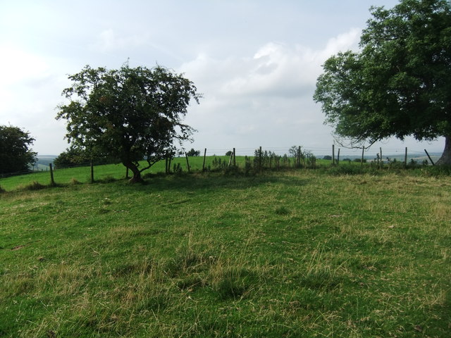
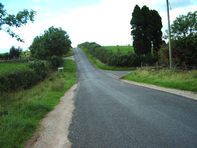
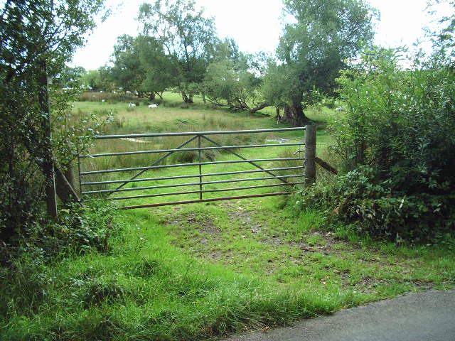
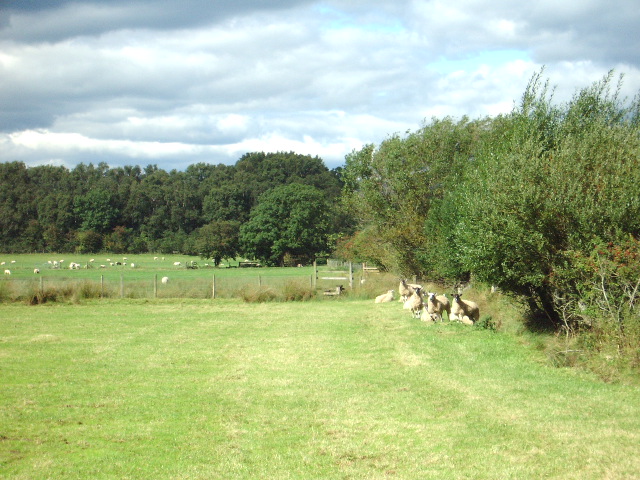
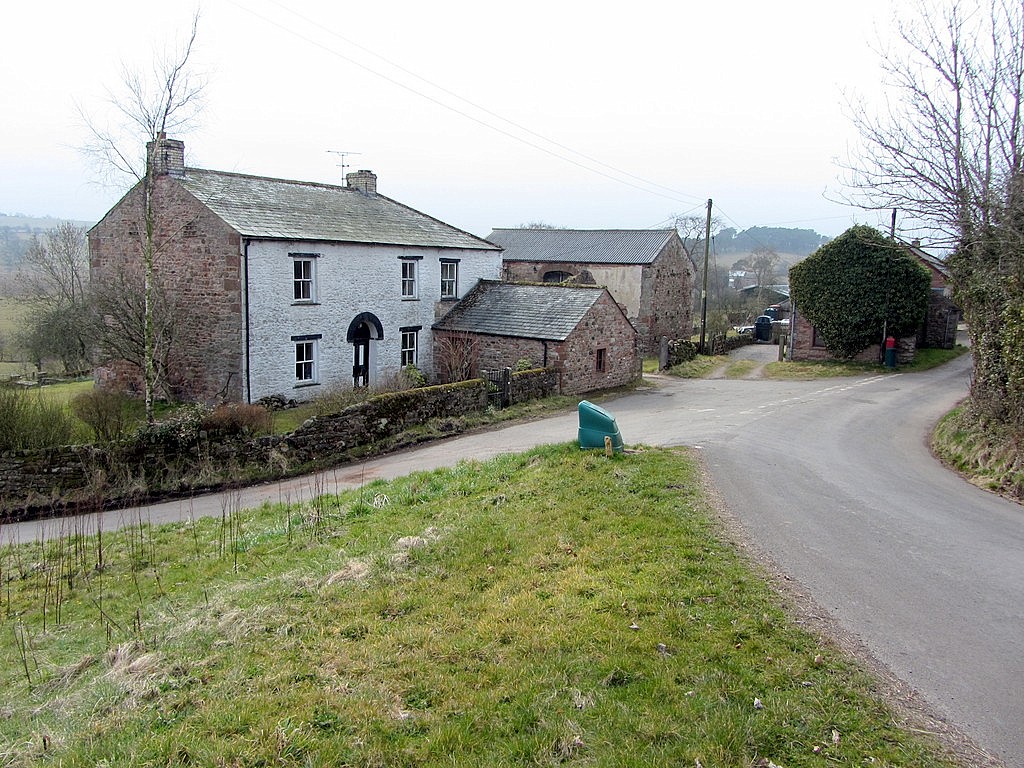
Flat Hill Images

Images are sourced within 2km of 54.520261/-2.4161494 or Grid Reference NY7313. Thanks to Geograph Open Source API. All images are credited.

Ordnance Survey Trig Pillar 10691 This pillar can be found on Strutforth Hill.
Ordnance Survey Trig Pillar 10691
This pillar can be found on Strutforth Hill.
White butterbur (Petasites albus), hedgerow, Mask Road The location is shown here <a href="https://www.geograph.org.uk/photo/3409389">NY7114 : Mask Road</a>

White butterbur is a native of the mountains of Europe and S.W. Asia. It was introduced to Britain as a garden ornamental in 1683, and naturalised in West Yorkshire by at least 1843. Plants are dioecious, consisting of separate male and female plants which are not self-fertile. In Britain, plants flower as early as February and are visited by various insects. If pollinated, female plants bear dandelion-like cylindrical seeds with a tuft of long white hairs. As the vast majority of naturalised populations consist entirely of male plants the extent of sexual reproduction is unclear and spread occurs largely by dispersal of the rhizomes.
<span class="nowrap"><a title="http://www.brc.ac.uk/plantatlas/index.php?q=plant/petasites-albus" rel="nofollow ugc noopener" href="http://www.brc.ac.uk/plantatlas/index.php?q=plant/petasites-albus">Link</a><img style="margin-left:2px;" alt="External link" title="External link - shift click to open in new window" src="https://s1.geograph.org.uk/img/external.png" width="10" height="10"/></span>
White butterbur (Petasites albus), hedgerow, Mask Road
The location is shown here NY7114 : Mask Road White butterbur is a native of the mountains of Europe and S.W. Asia. It was introduced to Britain as a garden ornamental in 1683, and naturalised in West Yorkshire by at least 1843. Plants are dioecious, consisting of separate male and female plants which are not self-fertile. In Britain, plants flower as early as February and are visited by various insects. If pollinated, female plants bear dandelion-like cylindrical seeds with a tuft of long white hairs. As the vast majority of naturalised populations consist entirely of male plants the extent of sexual reproduction is unclear and spread occurs largely by dispersal of the rhizomes. LinkExternal link
River Eden below Old Warcop Bridge
Old Warcop Bridge
Old Warcop Bridge
Bleatarn
Bleatarn
Minor road at Bleatarn
Tiny church at Bleatarn Also referred to as Bleatarn Chapel of Ease <span class="nowrap"><a title="http://en.wikipedia.org/wiki/Chapel_of_ease" rel="nofollow ugc noopener" href="http://en.wikipedia.org/wiki/Chapel_of_ease">Link</a><img style="margin-left:2px;" alt="External link" title="External link - shift click to open in new window" src="https://s1.geograph.org.uk/img/external.png" width="10" height="10"/></span>
Tiny church at Bleatarn
Also referred to as Bleatarn Chapel of Ease LinkExternal link
Sourlands Hill
Sourlands Hill
Footpath to Great Asby
Gate With Murton Fell, Burton Fell and Knock Fell in the distance
Gate
With Murton Fell, Burton Fell and Knock Fell in the distance
Road junction The road to the right goes to Bleatarn and then on to Warcop
Road junction
The road to the right goes to Bleatarn and then on to Warcop
Road Closed Tewthwaite Hill Road was closed for the repair of the potholes of which there were many
Road Closed
Tewthwaite Hill Road was closed for the repair of the potholes of which there were many
Gate The track leads to Hull Place (ruin)
Gate
The track leads to Hull Place (ruin)
Footpath to Ploughlands
Intake Bridge over Keldhead Sike
Keldhead Sike
Keldhead Sike
River Eden from Sandford Bridge
Show me another place!

Flat Hill is located at Grid Ref: NY7313 (Lat: 54.520261, Lng: -2.4161494)

Administrative County: Cumbria

District: Eden

Police Authority: Cumbria

What 3 Words

///processes.same.festivity. Near Kirkby Stephen, Cumbria

Related Wikis

Bleatarn

Bleatarn is a hamlet in Cumbria, England. It is located 3.3 miles (5.3 km) by road to the northwest of Soulby. == See also == List of places in Cumbria...

Warcop

Warcop is a village and civil parish in the Eden district of Cumbria, England. The parish had a population of 491 in the 2001 census, increasing to 532...

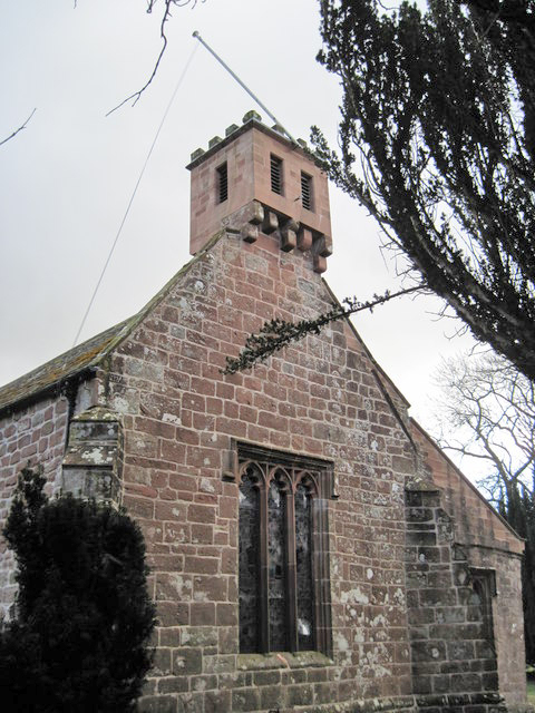
St Columba's Church, Warcop

St Columba's Church is in the village of Warcop, Cumbria, England. It is an active Anglican parish church in the deanery of Appleby, the archdeaconry...

Sandford, Cumbria

Sandford is a small village in the Eden district, in the county of Cumbria, England. It is near the A66 road. It has one pub. == Location grid == ��2...

Nearby Amenities

Located within 500m of 54.520261,-2.4161494
Walker House
Naptan AtcoCode: 090074691032
Naptan Bearing: W
Naptan BusStopType: CUS
Naptan CommonName: Walker House
Naptan Indicator: near
Naptan Landmark: Walker House
Naptan NaptanCode: cumdgjtg
Naptan Street: No name
Naptan Verified: no
Source: naptan_import
Lat/Long: 54.5192403/-2.4144536
Bench
Lat/Long: 54.5192087/-2.4138661
Grit Bin
Lat/Long: 54.5191963/-2.4140324
Post Box
Ref: CA16 46
Lat/Long: 54.519246/-2.4144047
Bleatarn
Place: hamlet
Wikidata: Q4925761
Lat/Long: 54.519492/-2.4142876
Abbey Park
Place: farm
Lat/Long: 54.5186076/-2.4129675
Carr Pool
Place: farm
Lat/Long: 54.5188878/-2.4192868
Power: pole
Lat/Long: 54.5227358/-2.4103294
Power: pole
Lat/Long: 54.5221391/-2.410804
Power: pole
Lat/Long: 54.5214069/-2.4113853
Power: pole
Lat/Long: 54.5206517/-2.4119785
Power: pole
Lat/Long: 54.5198173/-2.4126528
Power: pole
Lat/Long: 54.5194845/-2.4129138
Power: pole
Lat/Long: 54.518851/-2.4134438
Power: pole
Lat/Long: 54.5186203/-2.4141774
Power: pole
Lat/Long: 54.5184091/-2.4148655
Power: pole
Lat/Long: 54.5179534/-2.4163603
Power: pole
Lat/Long: 54.5175437/-2.417697
Power: pole
Lat/Long: 54.5172464/-2.4186659
Power: pole
Lat/Long: 54.5167827/-2.4202102
Power: pole
Lat/Long: 54.5180418/-2.4195894
Power: pole
Lat/Long: 54.51889/-2.4205662
Power: pole
Lat/Long: 54.5198265/-2.4216616
Power: pole
Lat/Long: 54.520335/-2.4222805
Power: pole
Lat/Long: 54.5212577/-2.4233285
The data included in this document is from www.openstreetmap.org. The data is made available under ODbL.

Have you been to Flat Hill?

Leave your review of Flat Hill below (or comments, questions and feedback).