Fa' Hillocks

Hill, Mountain in Kincardineshire

Scotland

Fa' Hillocks

Field by Auchenblae A new pipeline is being laid beside the road here.
Field by Auchenblae Credit: Richard Webb

Fa' Hillocks, located in Kincardineshire, Scotland, is a prominent hill or mountain that stands at an elevation of approximately 365 meters (1,198 feet) above sea level. Situated in the northeast of Scotland, it lies within the beautiful and picturesque countryside.

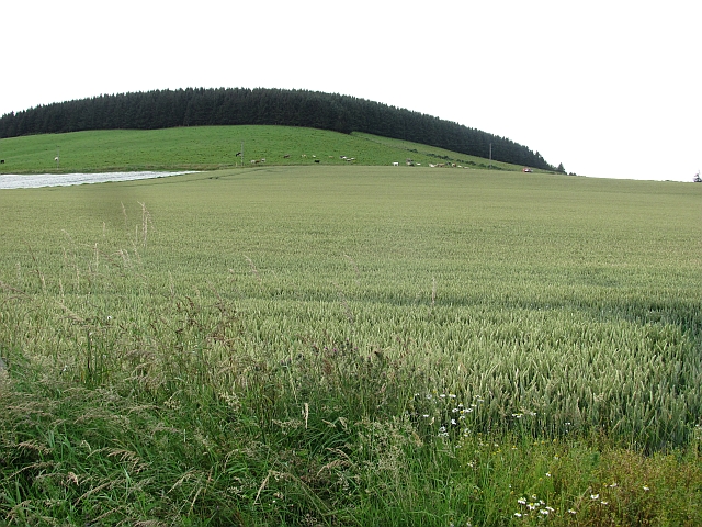
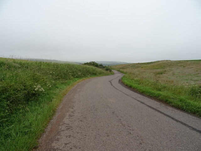
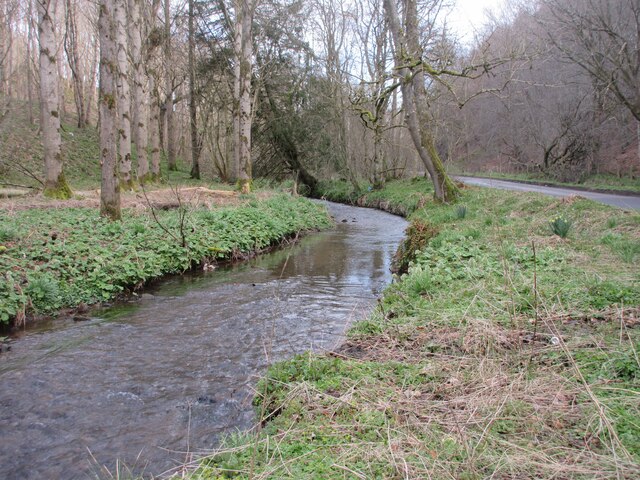
The hill is known for its distinctive shape, with a rounded summit that offers breathtaking panoramic views of the surrounding landscape. The area is rich in natural beauty, featuring rolling green hills, lush forests, and meandering rivers. Fa' Hillocks is a popular destination for hikers and nature enthusiasts who are drawn to its tranquil and serene atmosphere.

The hill is characterized by its diverse flora and fauna, with a variety of plant species and wildlife inhabiting the area. Visitors may encounter native birds, such as pheasants and grouse, as well as smaller mammals like rabbits and squirrels.

Access to Fa' Hillocks is generally unrestricted, with several well-marked trails leading to the summit. Hikers can take advantage of the well-maintained paths, which offer a manageable ascent and provide ample opportunities to admire the stunning scenery along the way.

Fa' Hillocks is steeped in history, with traces of ancient settlements and archaeological sites found in the vicinity. It is believed that the hill has played a significant role in the local community for centuries, serving as a landmark and a source of inspiration for generations.

Overall, Fa' Hillocks is a captivating natural landmark in Kincardineshire, offering visitors a chance to connect with nature and enjoy the breathtaking beauty of the Scottish countryside.

If you have any feedback on the listing, please let us know in the comments section below.
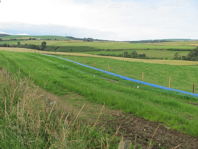
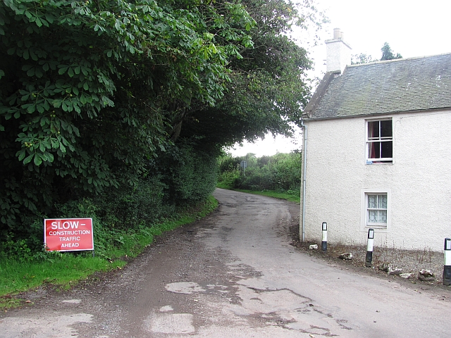
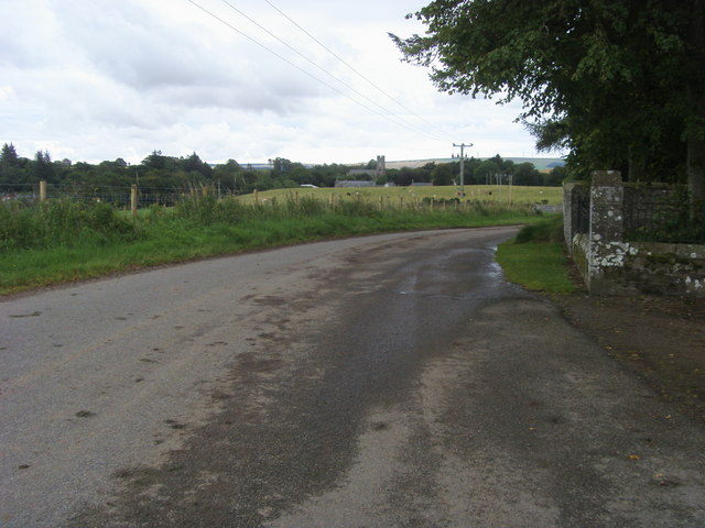
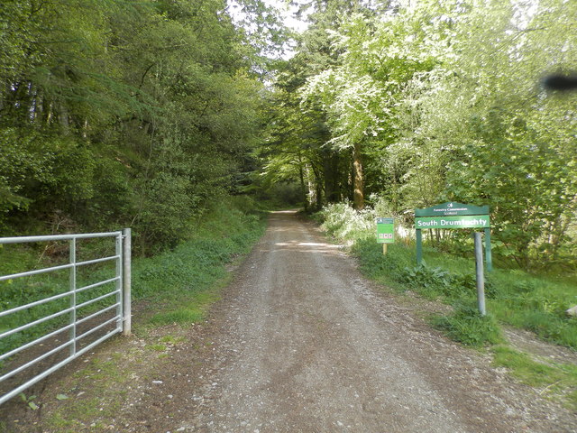
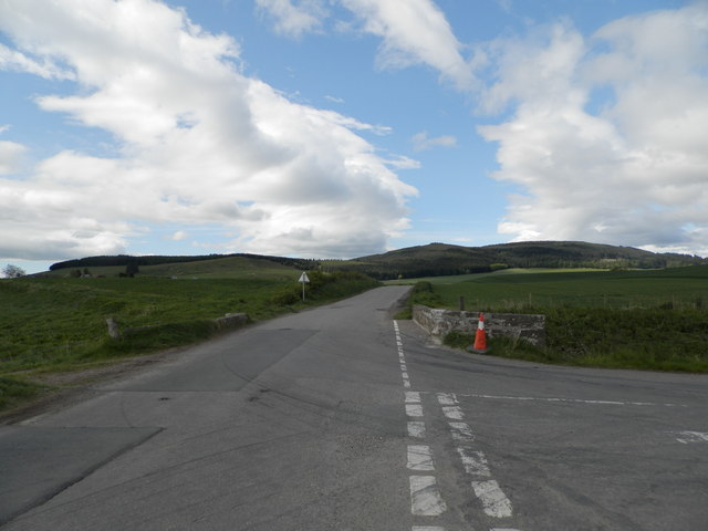
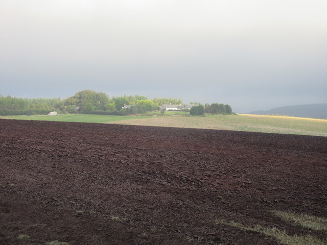
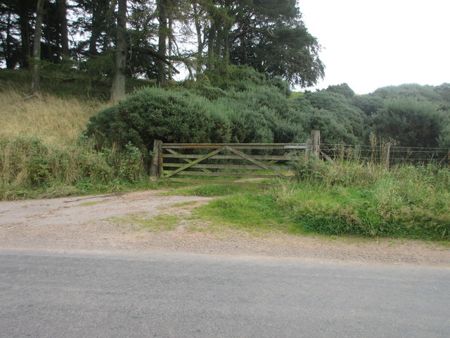
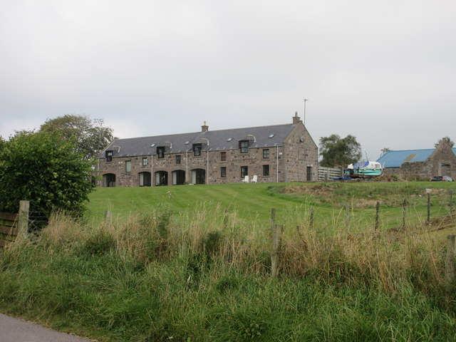
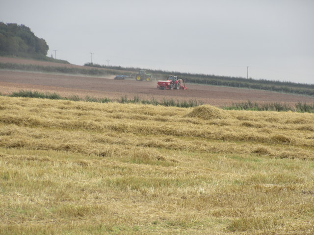
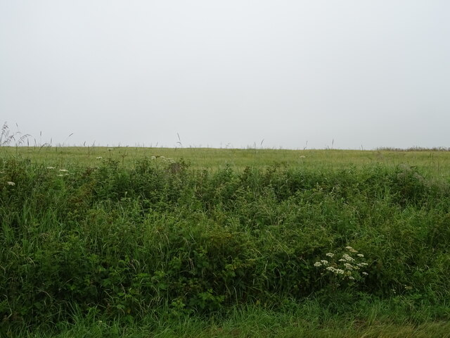
Fa' Hillocks Images

Images are sourced within 2km of 56.903933/-2.4424837 or Grid Reference NO7379. Thanks to Geograph Open Source API. All images are credited.

Field by Auchenblae A new pipeline is being laid beside the road here.
Field by Auchenblae
A new pipeline is being laid beside the road here.
Road into Auchenblae Warning of pipeline construction traffic.
Road into Auchenblae
Warning of pipeline construction traffic.
Wheat field by Auchenblae Nearby they are ploughing this year's stubble but this field has yet to turn from green.
Wheat field by Auchenblae
Nearby they are ploughing this year's stubble but this field has yet to turn from green.
Field by Auchenblae Field with a scarecrow.
Field by Auchenblae
Field with a scarecrow.
Looking to Auchenblae church From the cemetery looking to Auchenblae church
Looking to Auchenblae church
From the cemetery looking to Auchenblae church
Entrance to South Drumtochty Forest
Burnmouth Brig over Burnie Shag
Mid Blairs A distant view of Mid Blairs from the roadside to the south-east.
Mid Blairs
A distant view of Mid Blairs from the roadside to the south-east.
Free Entry But Bull Will Charge Wooden gate at the roadside south of Glenfarquhar Lodge carrying the wording 'FREE ENTRY BUT BULL WILL CHARGE'.
Free Entry But Bull Will Charge
Wooden gate at the roadside south of Glenfarquhar Lodge carrying the wording 'FREE ENTRY BUT BULL WILL CHARGE'.
Glenfarquhar House Converted steadings at Glenfarquhar, viewed from the road to the south.
Glenfarquhar House
Converted steadings at Glenfarquhar, viewed from the road to the south.
Farmwork on Herscha Hill Working on the fields near Newlands on the lower slopes of Herscha Hill.
Farmwork on Herscha Hill
Working on the fields near Newlands on the lower slopes of Herscha Hill.
Field above the Glenbervie Road
Glenbervie Road From Kinkell towards Glenbervie.
Glenbervie Road
From Kinkell towards Glenbervie.
Luther Water The Luther Water on the west side of the road heading north into Auchenblae.
Luther Water
The Luther Water on the west side of the road heading north into Auchenblae.
Scarecrow at Bankhead Rudimentary scarecrow in a field to the east of Bankhead.
Scarecrow at Bankhead
Rudimentary scarecrow in a field to the east of Bankhead.
Fordoun War Memorial Fordoun War Memorial on Gilbert's Hill overlooking Auchenblae from the south.
Fordoun War Memorial
Fordoun War Memorial on Gilbert's Hill overlooking Auchenblae from the south.
Former telephone box in Auchenblae Red telephone box now housing a defibrillator in the centre of Auchenblae.
Former telephone box in Auchenblae
Red telephone box now housing a defibrillator in the centre of Auchenblae.
Rivet benchmark, Auchenblae Church Ordnance Survey rivet benchmark. For database entry, see <span class="nowrap"><a title="https://www.bench-marks.org.uk/bm192328" rel="nofollow ugc noopener" href="https://www.bench-marks.org.uk/bm192328">Link</a><img style="margin-left:2px;" alt="External link" title="External link - shift click to open in new window" src="https://s1.geograph.org.uk/img/external.png" width="10" height="10"/></span>.
Rivet benchmark, Auchenblae Church
Ordnance Survey rivet benchmark. For database entry, see LinkExternal link.
Show me another place!

Fa' Hillocks is located at Grid Ref: NO7379 (Lat: 56.903933, Lng: -2.4424837)

Unitary Authority: Aberdeenshire

Police Authority: North East

What 3 Words

///emotional.require.gliding. Near Laurencekirk, Aberdeenshire

Nearby Locations

Hood Hillock Fa' Hillocks

Related Wikis

Auchinblae distillery

Auchenblae distillery was a scotch whisky distillery in Auchenblae, Kincardine, Aberdeenshire, Scotland. == History == The distillery was created in 1895...

Fordoun Stone

The Fordoun Stone is a class II Pictish cross slab in Fordoun parish church, Auchenblae, Aberdeenshire, Scotland. == Description == A slab of Old Red Sandstone...

Auchenblae

Auchenblae (, Scottish Gaelic: Achadh nam Blàth) is a village in the Kincardine and Mearns area of Aberdeenshire, formerly in Kincardineshire, Scotland...

Drumtochty Castle

Drumtochty Castle is a neo-gothic style castellated mansion erected in 1812 approximately three kilometres north-west of Auchenblae, Kincardineshire, Scotland...

Nearby Amenities

Located within 500m of 56.903933,-2.4424837
Crossing
Crossing: unmarked
Crossing Island: no
Tactile Paving: yes
Lat/Long: 56.9012116/-2.448232
Traffic Calming: hump
Lat/Long: 56.9012686/-2.4476675
Traffic Calming: hump
Lat/Long: 56.9011936/-2.4470792
Generator Method: photovoltaic
Generator Output Electricity: small_installation
Generator Source: solar
Generator Type: solar_photovoltaic_panel
Location: roof
Power: generator
Lat/Long: 56.9030827/-2.450446
Generator Method: photovoltaic
Generator Output Electricity: small_installation
Generator Source: solar
Generator Type: solar_photovoltaic_panel
Location: roof
Power: generator
Lat/Long: 56.9028608/-2.4490768
Generator Method: photovoltaic
Generator Output Electricity: small_installation
Generator Source: solar
Generator Type: solar_photovoltaic_panel
Location: roof
Power: generator
Lat/Long: 56.9010482/-2.4462296
Power: pole
Lat/Long: 56.9038195/-2.4347746
Power: pole
Lat/Long: 56.9044614/-2.4353491
Power: pole
Lat/Long: 56.9048853/-2.435735
Power: pole
Lat/Long: 56.9047472/-2.4363405
Power: pole
Lat/Long: 56.9045607/-2.4371324
Power: pole
Lat/Long: 56.9039673/-2.4374274
Power: pole
Lat/Long: 56.9037311/-2.438197
Power: pole
Lat/Long: 56.9034634/-2.43896
Power: pole
Lat/Long: 56.9028516/-2.4481088
Power: pole
Lat/Long: 56.9027688/-2.4465756
Power: pole
Lat/Long: 56.9026814/-2.4450339
Power: pole
Lat/Long: 56.9025893/-2.4434943
The data included in this document is from www.openstreetmap.org. The data is made available under ODbL.

Have you been to Fa' Hillocks?

Leave your review of Fa' Hillocks below (or comments, questions and feedback).