Sour Hill

Hill, Mountain in Westmorland Eden

England

Sour Hill

St Helen's Well, Newbiggin-on-Lune A bit of a disappointment. Other photographs show a small pool, so perhaps it is a spring rather than a well. See <a href="https://www.geograph.org.uk/photo/6154687">NY7005 : St Helen's Well</a> for a zoomed-in view and also photographs on the 'megalithic' website.
St Helen's Well, Newbiggin-on-Lune Credit: Humphrey Bolton

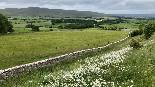
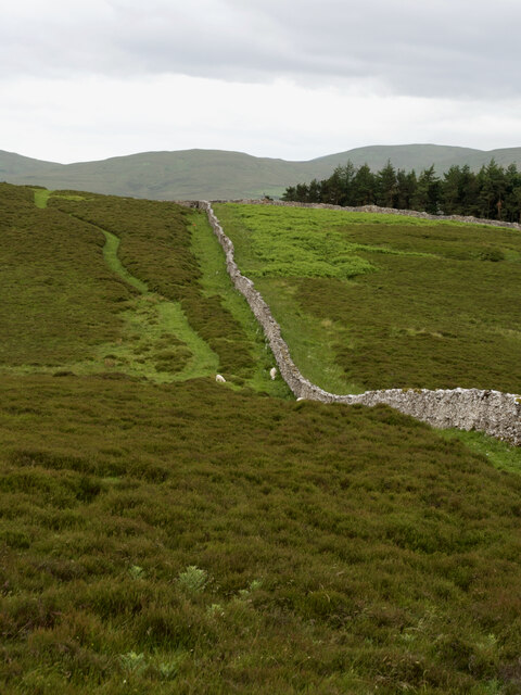
Sour Hill is a prominent hill located in the county of Westmorland, England. It is situated in the northwestern part of the county, near the border with Cumbria. Rising to an elevation of approximately 1,725 feet (525 meters), it is recognized as one of the highest points in the region, offering stunning panoramic views of the surrounding countryside.

The hill is primarily composed of limestone, which has contributed to its distinctive appearance and geological significance. The terrain is characterized by steep slopes and rocky outcrops, creating a challenging yet rewarding climb for outdoor enthusiasts and hikers.

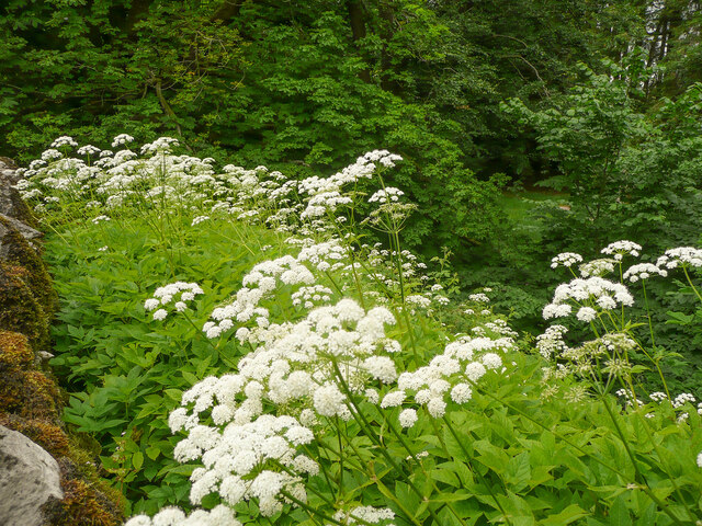
Sour Hill is part of a larger range called the Pennines, which stretches across northern England. It is often considered a popular destination for those seeking outdoor activities such as hillwalking, fell running, and birdwatching. The diverse flora and fauna found on Sour Hill include heather, bilberry, and various species of birds, making it an ideal location for nature lovers.

The hill is easily accessible via several footpaths and trails that lead to its summit, providing visitors with a range of options for exploration. The surrounding area also offers a range of amenities, including parking facilities, cafes, and visitor centers, ensuring a comfortable and convenient experience for those venturing to Sour Hill.

In conclusion, Sour Hill in Westmorland is a magnificent hill offering breathtaking views, challenging terrain, and an abundance of natural beauty. It is an ideal destination for outdoor enthusiasts and nature lovers, providing a memorable experience for all who visit.

If you have any feedback on the listing, please let us know in the comments section below.
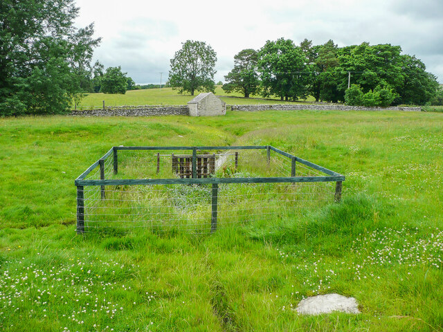
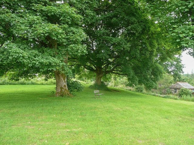
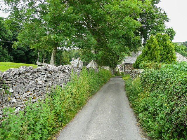
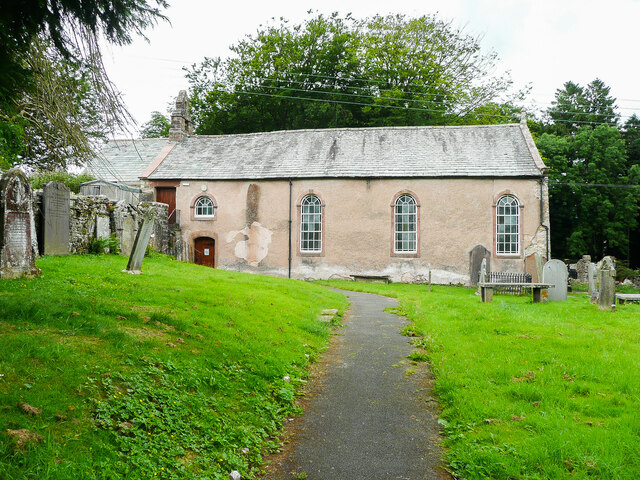
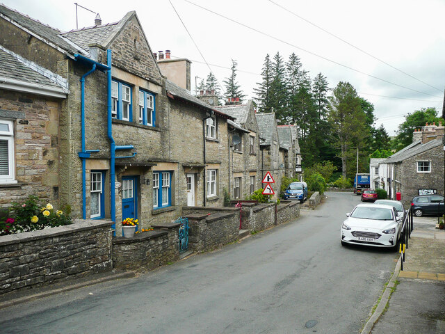
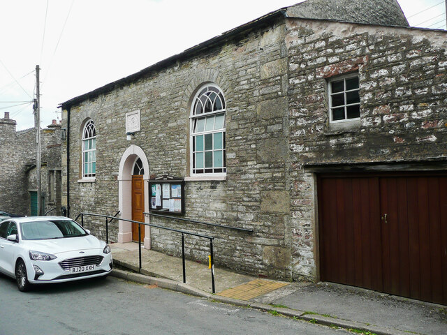
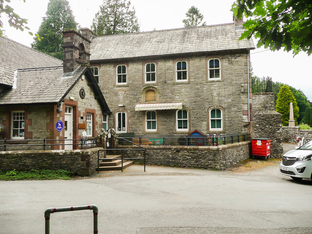
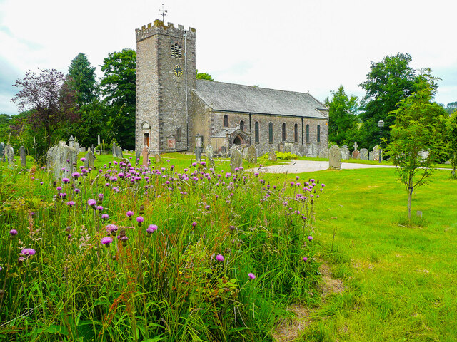
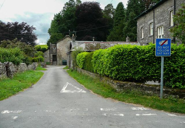
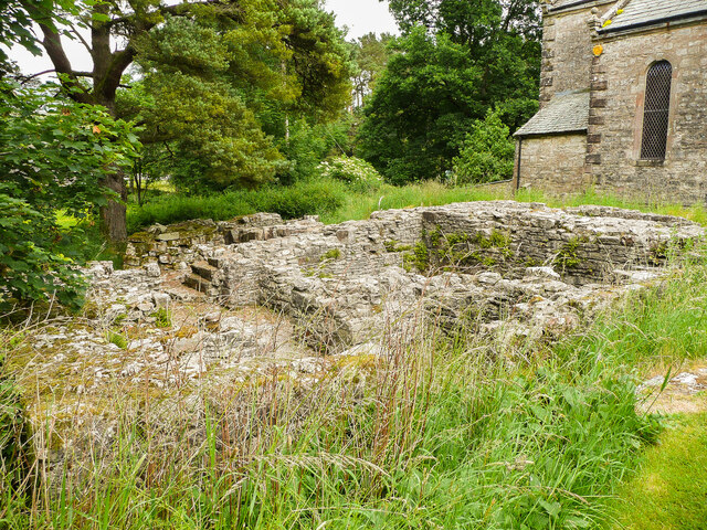
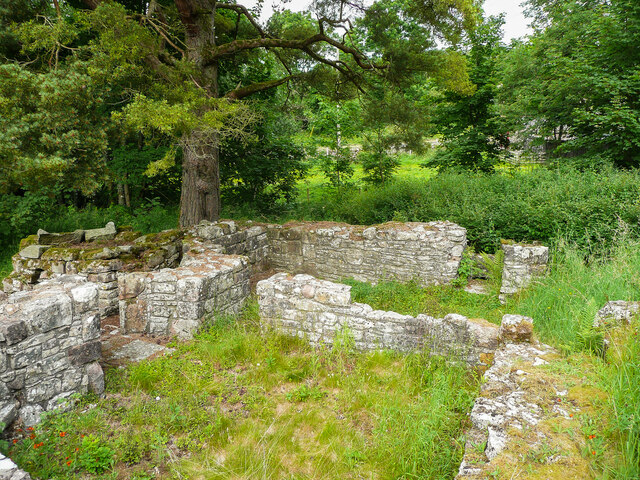
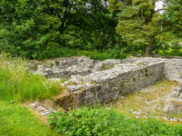
Sour Hill Images

Images are sourced within 2km of 54.443825/-2.4216649 or Grid Reference NY7205. Thanks to Geograph Open Source API. All images are credited.

St Helen's Well, Newbiggin-on-Lune A bit of a disappointment. Other photographs show a small pool, so perhaps it is a spring rather than a well. See <a href="https://www.geograph.org.uk/photo/6154687">NY7005 : St Helen's Well</a> for a zoomed-in view and also photographs on the 'megalithic' website.
St Helen's Well, Newbiggin-on-Lune
A bit of a disappointment. Other photographs show a small pool, so perhaps it is a spring rather than a well. See NY7005 : St Helen's Well for a zoomed-in view and also photographs on the 'megalithic' website.
The green, Ravenstonedale The seat shows how big the trees are.
The green, Ravenstonedale
The seat shows how big the trees are.
The back lane, Ravenstonedale This lane is not named on maps, but runs parallel with the main street.
The back lane, Ravenstonedale
This lane is not named on maps, but runs parallel with the main street.
High Chapel (Independent), Ravenstonedale Built in 1726 but founded earlier in 1662.
High Chapel (Independent), Ravenstonedale
Built in 1726 but founded earlier in 1662.
The village main street, Ravenstonedale
Methodist chapel, Ravenstonedale
The school, Ravenstonedale This was rebuilt in 1873 as a Grammar School, and became a junior school. It was due for closure c.2015 as there were only pupils but there were several cars parked nearby and parents were collecting their children as we passed by.
The school, Ravenstonedale
This was rebuilt in 1873 as a Grammar School, and became a junior school. It was due for closure c.2015 as there were only pupils but there were several cars parked nearby and parents were collecting their children as we passed by.
Church of St Oswald, Ravenstonedale
The bottom end of the back lane, Ravenstonedale Too narrow for heavy goods vehicles.
The bottom end of the back lane, Ravenstonedale
Too narrow for heavy goods vehicles.
Ruins of Gilbertine Cell, Ravenstonedale 1 "The Gilbertine order, thought to have been the only order to originate in England, was initially established for men and women. The founder, St Gilbert of Sempringham, founded double houses from 1131 until his death in 1189." Extract from the 'Reasons for Designation', see <span class="nowrap"><a title="https://historicengland.org.uk/listing/the-list/list-entry/1004590" rel="nofollow ugc noopener" href="https://historicengland.org.uk/listing/the-list/list-entry/1004590">Link</a><img style="margin-left:2px;" alt="External link" title="External link - shift click to open in new window" src="https://s1.geograph.org.uk/img/external.png" width="10" height="10"/></span> for more information.
Ruins of Gilbertine Cell, Ravenstonedale 1
"The Gilbertine order, thought to have been the only order to originate in England, was initially established for men and women. The founder, St Gilbert of Sempringham, founded double houses from 1131 until his death in 1189." Extract from the 'Reasons for Designation', see LinkExternal link for more information.
Ruins of Gilbertine Cell, Ravenstonedale 2 "The Gilbertine order, thought to have been the only order to originate in England, was initially established for men and women. The founder, St Gilbert of Sempringham, founded double houses from 1131 until his death in 1189." Extract from the 'Reasons for Designation', see <span class="nowrap"><a title="https://historicengland.org.uk/listing/the-list/list-entry/1004590" rel="nofollow ugc noopener" href="https://historicengland.org.uk/listing/the-list/list-entry/1004590">Link</a><img style="margin-left:2px;" alt="External link" title="External link - shift click to open in new window" src="https://s1.geograph.org.uk/img/external.png" width="10" height="10"/></span> for more information.
Ruins of Gilbertine Cell, Ravenstonedale 2
"The Gilbertine order, thought to have been the only order to originate in England, was initially established for men and women. The founder, St Gilbert of Sempringham, founded double houses from 1131 until his death in 1189." Extract from the 'Reasons for Designation', see LinkExternal link for more information.
Ruins of Gilbertine Cell, Ravenstonedale 3 "The Gilbertine order, thought to have been the only order to originate in England, was initially established for men and women. The founder, St Gilbert of Sempringham, founded double houses from 1131 until his death in 1189." Extract from the 'Reasons for Designation', see <span class="nowrap"><a title="https://historicengland.org.uk/listing/the-list/list-entry/1004590" rel="nofollow ugc noopener" href="https://historicengland.org.uk/listing/the-list/list-entry/1004590">Link</a><img style="margin-left:2px;" alt="External link" title="External link - shift click to open in new window" src="https://s1.geograph.org.uk/img/external.png" width="10" height="10"/></span> for more information.
Ruins of Gilbertine Cell, Ravenstonedale 3
"The Gilbertine order, thought to have been the only order to originate in England, was initially established for men and women. The founder, St Gilbert of Sempringham, founded double houses from 1131 until his death in 1189." Extract from the 'Reasons for Designation', see LinkExternal link for more information.
Probably Ground Elder, Ravenstonedale After consulting Keble Martin (who shows it as having  more widespread flowers in the umbels), and the Collins and Blandford Guides I am fairly sure that this is Aegopodon podagraria.
Probably Ground Elder, Ravenstonedale
After consulting Keble Martin (who shows it as having more widespread flowers in the umbels), and the Collins and Blandford Guides I am fairly sure that this is Aegopodon podagraria.
The Black Swan hotel
St.Oswald's, Ravenstonedale
St. Oswaldl's Church entrance
Ox-eye Daisies on the verge of the Fell Road
Wall at Lingy Intake
Show me another place!

Sour Hill is located at Grid Ref: NY7205 (Lat: 54.443825, Lng: -2.4216649)

Administrative County: Cumbria

District: Eden

Police Authority: Cumbria

What 3 Words

///touchy.girder.insulated. Near Kirkby Stephen, Cumbria

Related Wikis

Ravenstonedale Priory

Ravenstonedale Priory was a Gilbertine priory in Cumbria, England. It was founded in the reign of Henry II, when Torphin, son of Robert, son of Copsus...

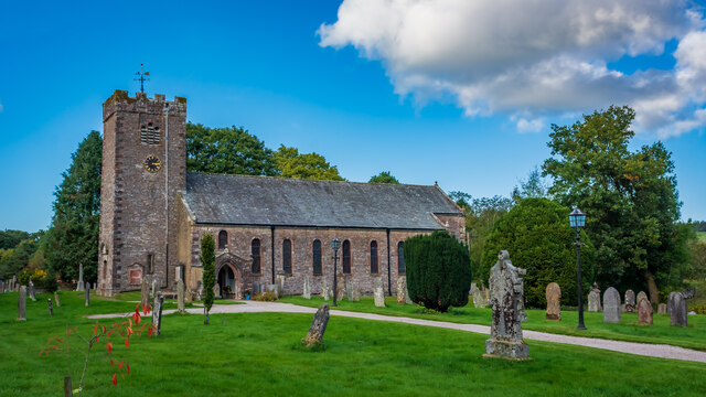
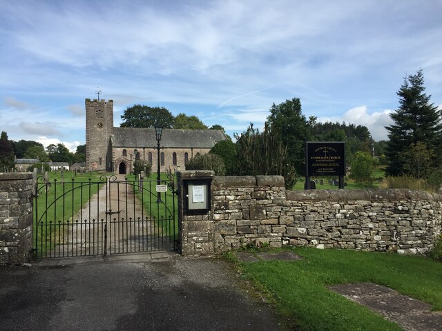
St Oswald's Church, Ravenstonedale

St Oswald's Church is in the village of Ravenstonedale, Cumbria, England. It is an active Anglican parish church in the deanery of Appleby, the archdeaconry...

Ravenstonedale

Ravenstonedale is a village and large civil parish in Cumbria, on the watershed between the River Lune and River Eden. The village lies 4 miles (6 km)...

Newbiggin-on-Lune

Newbiggin-on-Lune is a village in the Eden district of Cumbria, England. Historically in Westmorland it is about 4 miles (6.4 km) south west of Kirkby...

Brownber

Brownber is a hamlet surrounding Brownber Hall near Newbiggin-on-Lune in Cumbria, England.

Ravenstonedale railway station

Ravenstonedale railway station was situated on the South Durham & Lancashire Union Railway (SD&LUR) between Tebay and Kirkby Stephen East. It served the...

Smardale

Smardale is a small village and former civil parish, now in the parish of Waitby, in the Eden district, in Cumbria, England. In 1891 the parish had a population...

Smardale railway station

Smardale railway station was a minor station on the South Durham & Lancashire Union Railway between Tebay and Kirkby Stephen East. It served the villages...

Nearby Amenities

Located within 500m of 54.443825,-2.4216649
Ele: 327
Natural: peak
Lat/Long: 54.4460084/-2.4223047
Sour Hill
Natural: peak
Lat/Long: 54.4433352/-2.4215244
Gallows Hill
Ele: 320
Natural: peak
Lat/Long: 54.4453426/-2.4239693
Nettle Gill
Place: locality
Lat/Long: 54.4467078/-2.4251768
The data included in this document is from www.openstreetmap.org. The data is made available under ODbL.

Have you been to Sour Hill?

Leave your review of Sour Hill below (or comments, questions and feedback).