Ravenstondale Park
Downs, Moorland in Westmorland Eden
England
Ravenstondale Park

Ravenstondale Park is a picturesque and serene park located in Westmorland, a county in the North West of England. Nestled amidst the stunning natural beauty of the region, the park is renowned for its verdant downs and expansive moorland. Stretching over a vast area, it offers visitors a tranquil retreat from the hustle and bustle of city life.
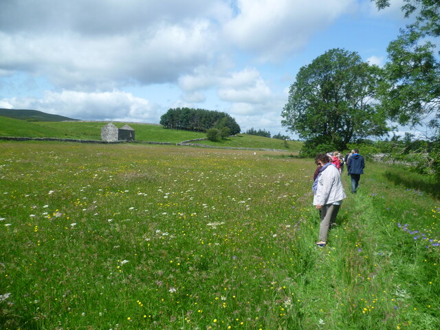
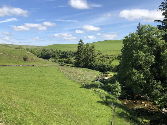
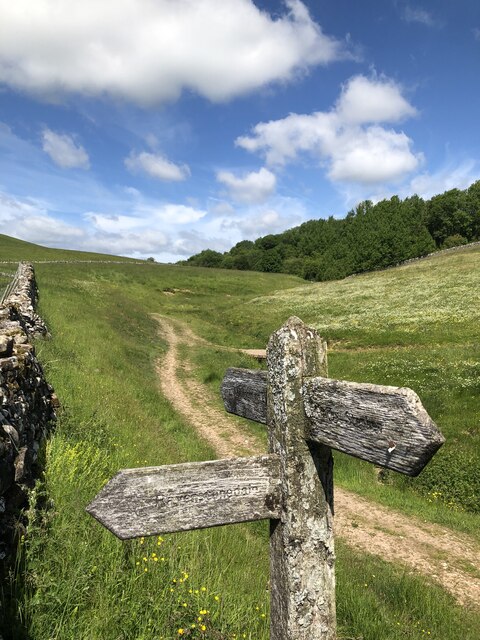
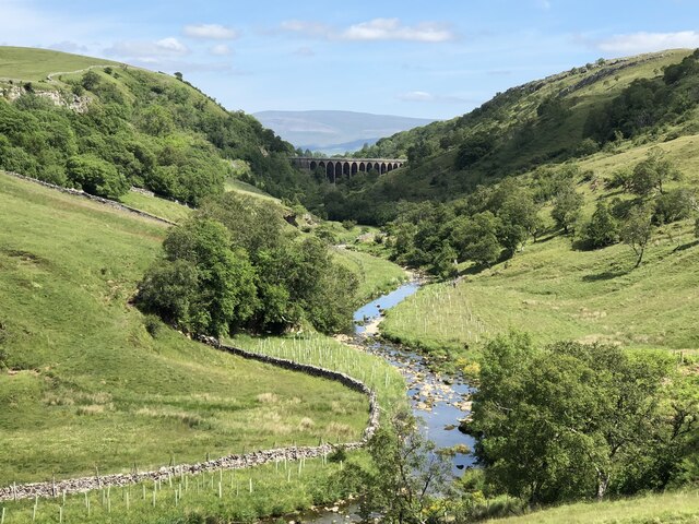
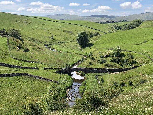
The park is characterized by its rolling hills, meandering streams, and lush green fields, which are home to a diverse range of flora and fauna. Nature enthusiasts and hikers are drawn to Ravenstondale Park for its extensive network of walking trails, which provide breathtaking views of the surrounding countryside.
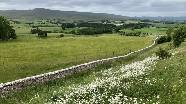
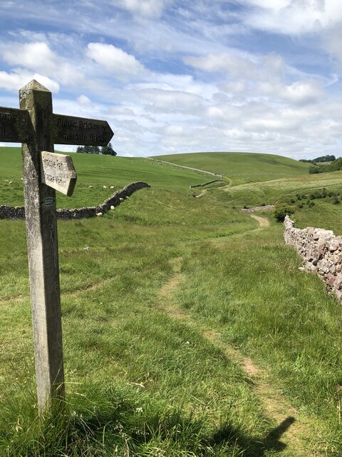
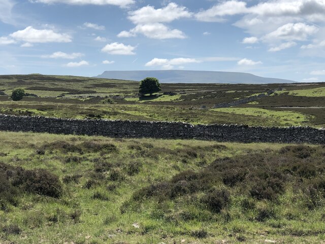
The park's downs are particularly noteworthy, providing a unique landscape of open grasslands dotted with grazing sheep and wildflowers. These downs offer ample opportunities for leisurely walks, picnics, and birdwatching. The moorland, on the other hand, offers a more rugged and untamed experience, with its wild and windswept terrain.
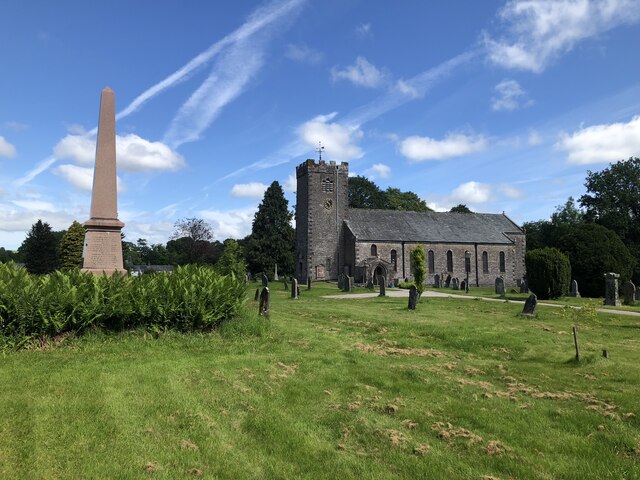
Ravenstondale Park is also home to several archaeological sites, including ancient stone circles and burial mounds, which offer a glimpse into the region's rich history. Visitors can explore these sites and learn about the area's past civilizations.
With its idyllic setting and diverse natural offerings, Ravenstondale Park is a haven for those seeking peace and tranquility in the heart of Westmorland. Whether it is a leisurely stroll, a challenging hike, or an exploration of the area's history, this park has something to offer for everyone.
If you have any feedback on the listing, please let us know in the comments section below.
Ravenstondale Park Images
Images are sourced within 2km of 54.439655/-2.4318597 or Grid Reference NY7205. Thanks to Geograph Open Source API. All images are credited.

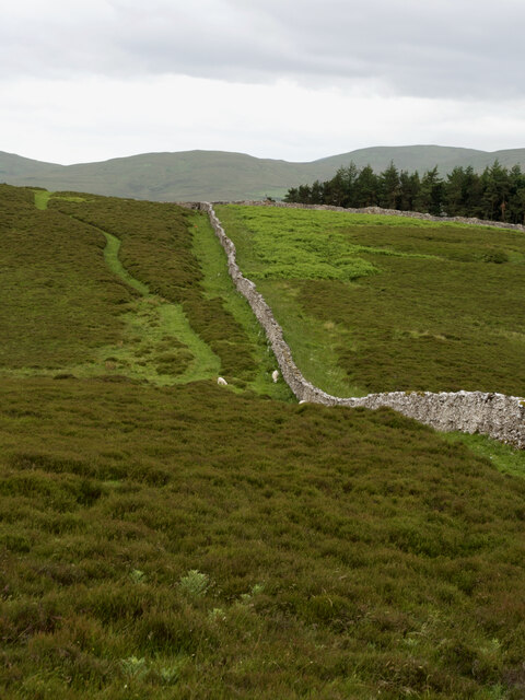
![Long Plantation The name that appears on the 1862 6&quot; O.S. map. with a wood symbol — see Maps.nls.uk. (2022). View map: Westmorland XXX (includes: Kirkby Stephen; Mallerstang; Nateby; Ravenstonedale; ...) - Ordnance Survey Six-inch England and Wales, 1842-1952. [online] Available at: <span class="nowrap"><a title="https://maps.nls.uk/view/102347880#zoom=6&amp;lat=9304&amp;lon=2399&amp;layers=BT" rel="nofollow ugc noopener" href="https://maps.nls.uk/view/102347880#zoom=6&amp;lat=9304&amp;lon=2399&amp;layers=BT">Link</a><img style="margin-left:2px;" alt="External link" title="External link - shift click to open in new window" src="https://s1.geograph.org.uk/img/external.png" width="10" height="10"/></span> [Accessed 26 Jun. 2022].](https://s3.geograph.org.uk/geophotos/07/21/03/7210371_573ad245.jpg)

Ravenstondale Park is located at Grid Ref: NY7205 (Lat: 54.439655, Lng: -2.4318597)
Administrative County: Cumbria
District: Eden
Police Authority: Cumbria
What 3 Words
///regular.miss.solicitor. Near Kirkby Stephen, Cumbria
Nearby Locations
Related Wikis

Ravenstonedale Priory
Ravenstonedale Priory was a Gilbertine priory in Cumbria, England. It was founded in the reign of Henry II, when Torphin, son of Robert, son of Copsus...
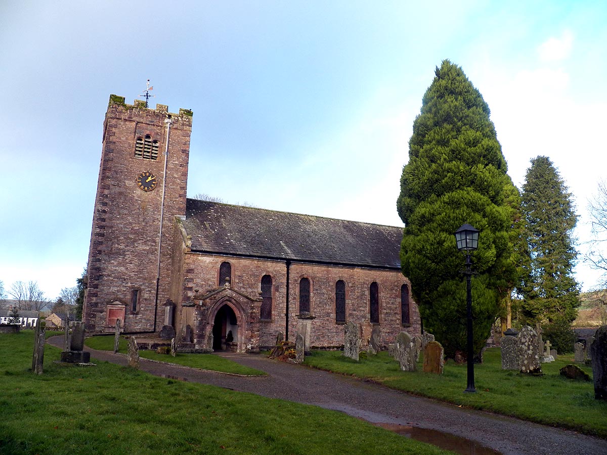
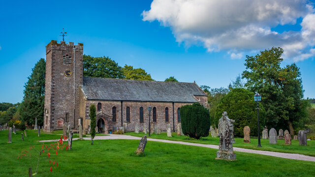
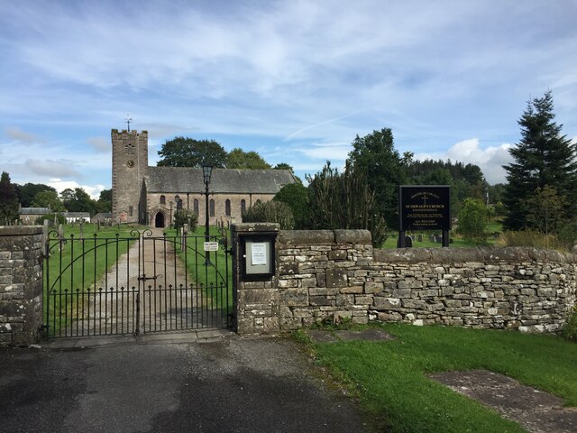
St Oswald's Church, Ravenstonedale
St Oswald's Church is in the village of Ravenstonedale, Cumbria, England. It is an active Anglican parish church in the deanery of Appleby, the archdeaconry...

Ravenstonedale
Ravenstonedale is a village and large civil parish in Cumbria, on the watershed between the River Lune and River Eden. The village lies 4 miles (6 km)...

Newbiggin-on-Lune
Newbiggin-on-Lune is a village in the Eden district of Cumbria, England. Historically in Westmorland it is about 4 miles (6.4 km) south west of Kirkby...
Nearby Amenities
Located within 500m of 54.439655,-2.4318597Have you been to Ravenstondale Park?
Leave your review of Ravenstondale Park below (or comments, questions and feedback).