Gallows Hill
Hill, Mountain in Westmorland Eden
England
Gallows Hill
Gallows Hill, located in Westmorland, is a prominent hill or mountain that holds historical significance in the region. Rising to an elevation of approximately 1,500 feet, it is situated in the northern part of Westmorland, near the village of Tebay. The hill derives its name from its dark and somber past, as it was once a notorious site for public executions.
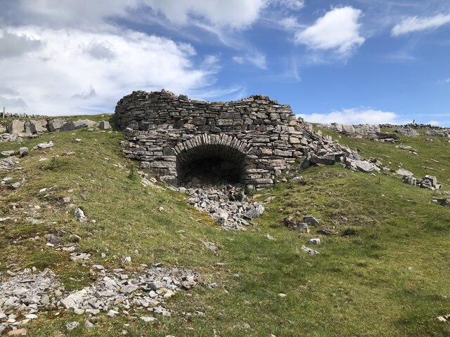
In the 16th and 17th centuries, Gallows Hill served as the primary location for carrying out capital punishment in Westmorland. Convicted criminals were taken to the summit of the hill, where a gallows structure was erected. These executions were often witnessed by a large crowd of onlookers, as a means of deterrence and public spectacle.
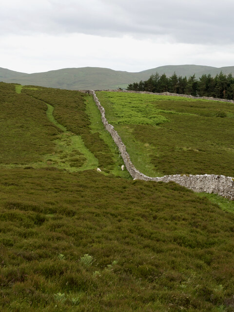
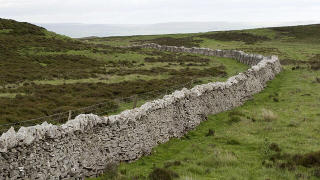
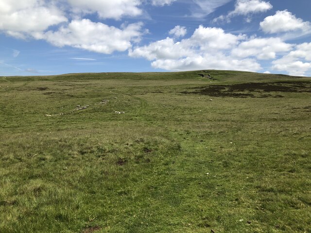
Today, Gallows Hill offers panoramic views of the surrounding countryside, making it a popular destination for hikers and nature enthusiasts. The hill is covered in lush greenery, with various trails leading to the summit. As visitors ascend, they can observe the remnants of the gallows structure, a haunting reminder of the hill's dark past.
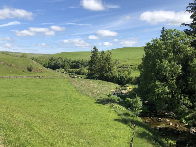
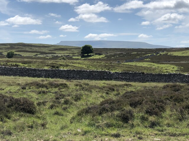
The area surrounding Gallows Hill is rich in natural beauty, with rolling hills, meandering rivers, and picturesque landscapes. It is also home to a diverse range of flora and fauna, making it an ideal spot for wildlife enthusiasts. Additionally, the hill is located within close proximity to other attractions in Westmorland, such as the Lake District National Park.
Overall, Gallows Hill stands as a historical landmark, offering visitors a glimpse into Westmorland's past while providing a serene and scenic environment for outdoor exploration.
If you have any feedback on the listing, please let us know in the comments section below.
Gallows Hill Images
Images are sourced within 2km of 54.444861/-2.4235568 or Grid Reference NY7205. Thanks to Geograph Open Source API. All images are credited.
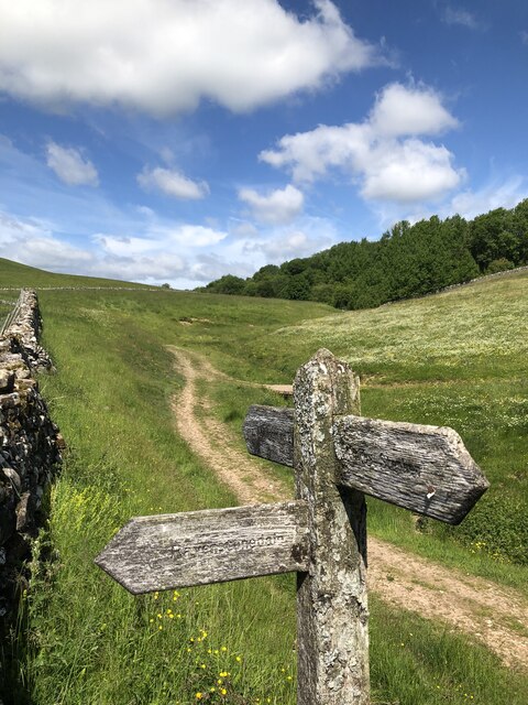
![Long Plantation The name that appears on the 1862 6&quot; O.S. map. with a wood symbol — see Maps.nls.uk. (2022). View map: Westmorland XXX (includes: Kirkby Stephen; Mallerstang; Nateby; Ravenstonedale; ...) - Ordnance Survey Six-inch England and Wales, 1842-1952. [online] Available at: <span class="nowrap"><a title="https://maps.nls.uk/view/102347880#zoom=6&amp;lat=9304&amp;lon=2399&amp;layers=BT" rel="nofollow ugc noopener" href="https://maps.nls.uk/view/102347880#zoom=6&amp;lat=9304&amp;lon=2399&amp;layers=BT">Link</a><img style="margin-left:2px;" alt="External link" title="External link - shift click to open in new window" src="https://s1.geograph.org.uk/img/external.png" width="10" height="10"/></span> [Accessed 26 Jun. 2022].](https://s3.geograph.org.uk/geophotos/07/21/03/7210371_573ad245.jpg)

Gallows Hill is located at Grid Ref: NY7205 (Lat: 54.444861, Lng: -2.4235568)
Administrative County: Cumbria
District: Eden
Police Authority: Cumbria
What 3 Words
///cheeks.fillers.coasting. Near Kirkby Stephen, Cumbria
Nearby Locations
Related Wikis

Ravenstonedale Priory
Ravenstonedale Priory was a Gilbertine priory in Cumbria, England. It was founded in the reign of Henry II, when Torphin, son of Robert, son of Copsus...
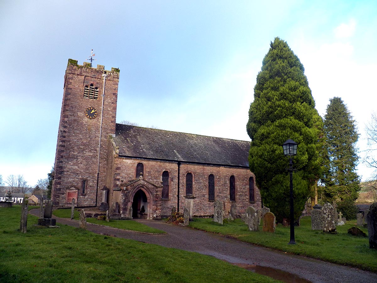
St Oswald's Church, Ravenstonedale
St Oswald's Church is in the village of Ravenstonedale, Cumbria, England. It is an active Anglican parish church in the deanery of Appleby, the archdeaconry...

Ravenstonedale
Ravenstonedale is a village and large civil parish in Cumbria, on the watershed between the River Lune and River Eden. The village lies 4 miles (6 km)...

Newbiggin-on-Lune
Newbiggin-on-Lune is a village in the Eden district of Cumbria, England. Historically in Westmorland it is about 4 miles (6.4 km) south west of Kirkby...

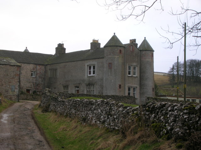
Brownber
Brownber is a hamlet surrounding Brownber Hall near Newbiggin-on-Lune in Cumbria, England.
Ravenstonedale railway station
Ravenstonedale railway station was situated on the South Durham & Lancashire Union Railway (SD&LUR) between Tebay and Kirkby Stephen East. It served the...
Smardale
Smardale is a small village and former civil parish, now in the parish of Waitby, in the Eden district, in Cumbria, England. In 1891 the parish had a population...
Smardale railway station
Smardale railway station was a minor station on the South Durham & Lancashire Union Railway between Tebay and Kirkby Stephen East. It served the villages...
Nearby Amenities
Located within 500m of 54.444861,-2.4235568Have you been to Gallows Hill?
Leave your review of Gallows Hill below (or comments, questions and feedback).