Bardshillock
Hill, Mountain in Kincardineshire
Scotland
Bardshillock
Bardshillock is a prominent hill located in the region of Kincardineshire, Scotland. Rising to an elevation of approximately 456 meters (1,496 feet), it is a notable feature in the landscape and attracts outdoor enthusiasts and nature lovers alike.
Situated in the eastern part of Kincardineshire, Bardshillock is part of the larger Hill of Fare range. Its location offers breathtaking panoramic views of the surrounding countryside, including the picturesque rolling hills and lush green valleys. On clear days, it is even possible to see the North Sea in the distance.
The hill is primarily composed of granite, which has contributed to its rugged and distinctive appearance. Its slopes are covered with a mix of heather, grasses, and scattered trees, providing a diverse habitat for a variety of fauna and flora. The area is home to various bird species, including buzzards and kestrels, which can often be seen soaring above.
Bardshillock is a popular destination for hikers and walkers, who are drawn to its stunning vistas and tranquil atmosphere. Several well-marked trails lead to the summit, offering both challenging routes for experienced walkers and more leisurely paths for beginners. The hill is also frequented by mountain bikers, who enjoy the adrenaline rush of descending its slopes.
Overall, Bardshillock is a captivating natural landmark in Kincardineshire, offering visitors a chance to immerse themselves in the beauty of the Scottish countryside and experience the serenity of the hills.
If you have any feedback on the listing, please let us know in the comments section below.
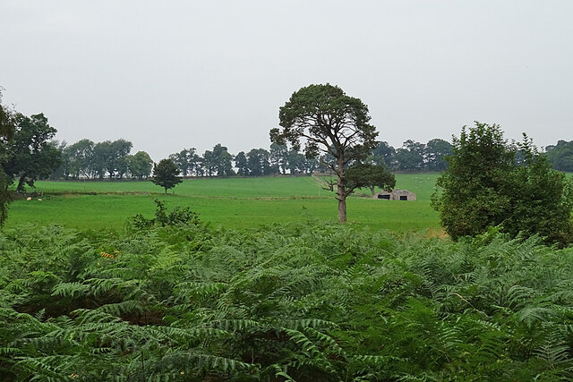
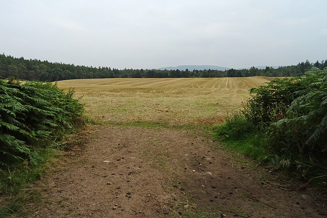
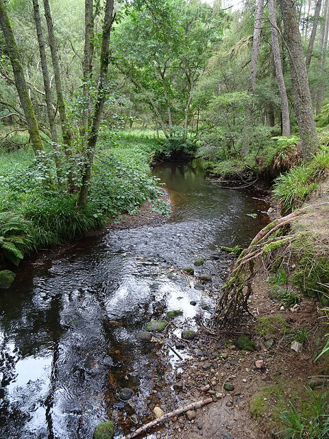
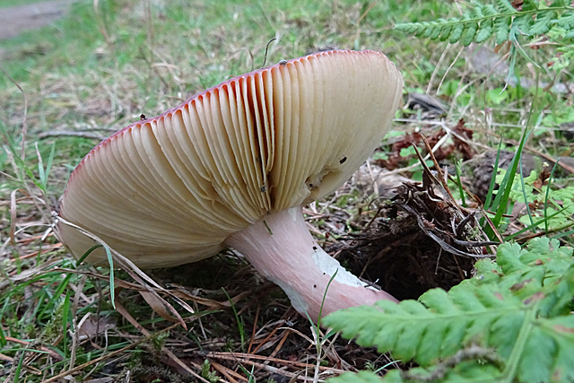
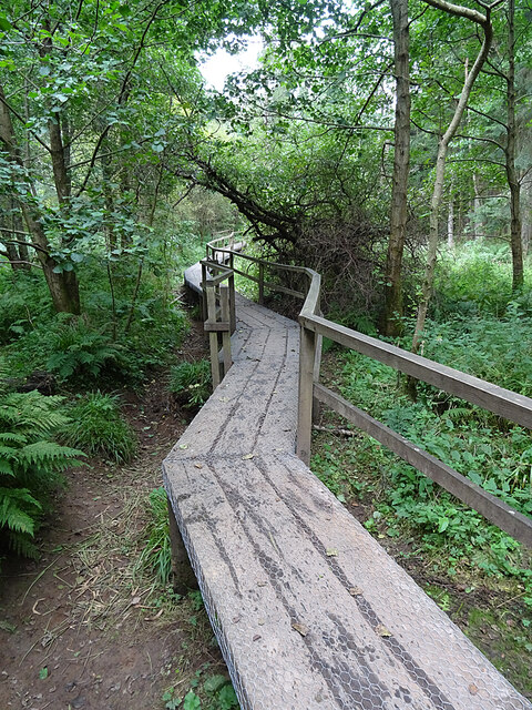
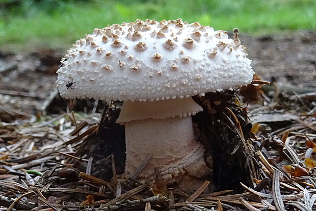
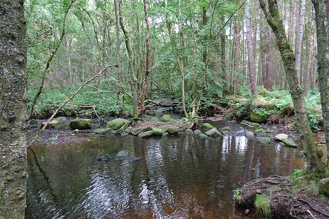
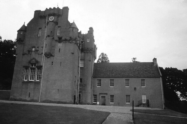
Bardshillock Images
Images are sourced within 2km of 57.069089/-2.4508471 or Grid Reference NO7297. Thanks to Geograph Open Source API. All images are credited.
Bardshillock is located at Grid Ref: NO7297 (Lat: 57.069089, Lng: -2.4508471)
Unitary Authority: Aberdeenshire
Police Authority: North East
What 3 Words
///firelight.measure.blog. Near Banchory, Aberdeenshire
Nearby Locations
Related Wikis

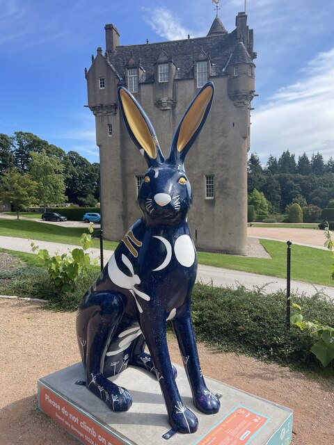
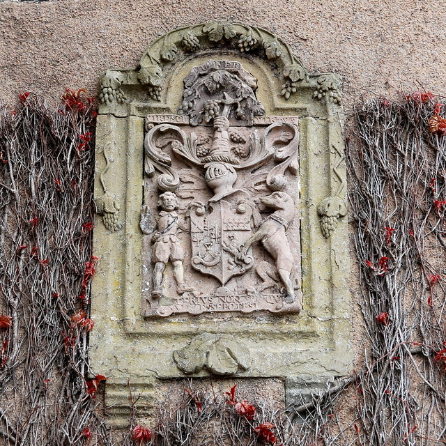
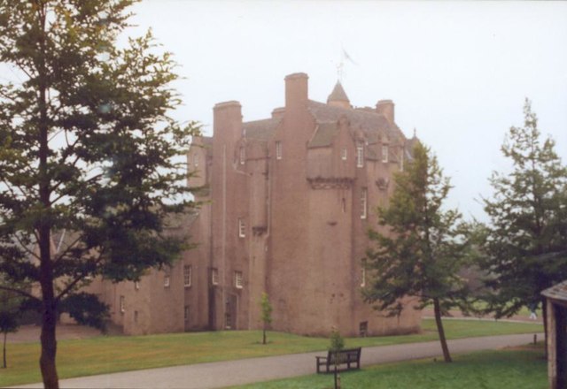
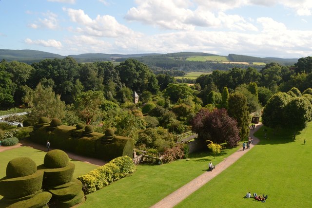
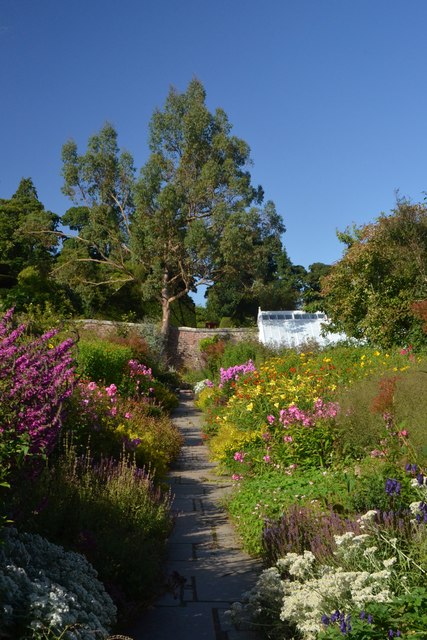
Crathes Castle
Crathes Castle (pronounced KRATH-iss) is a castle, built in the 16th-century, near Banchory in Aberdeenshire, Scotland. It is in the historic county of...
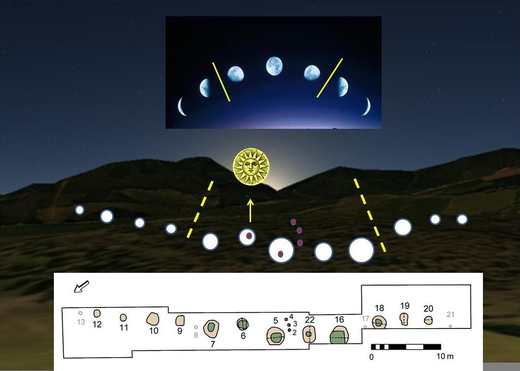
Warren Field
Warren Field is the location of a mesolithic calendar monument built about 8,000 BCE. It includes 12 pits believed to correlate with phases of the Moon...

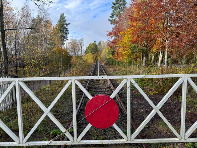
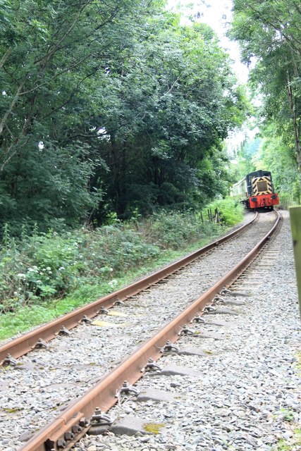
Milton of Crathes railway station
Milton of Crathes railway station is located at Milton of Crathes, three miles east of Banchory, Royal Deeside, Aberdeenshire, Scotland, United Kingdom...

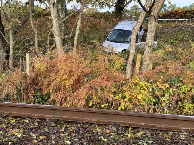
Royal Deeside Railway
The Royal Deeside Railway is a Scottish heritage railway located at Milton of Crathes railway station on a part of the original Deeside Railway. ��2�...
Nearby Amenities
Located within 500m of 57.069089,-2.4508471Have you been to Bardshillock?
Leave your review of Bardshillock below (or comments, questions and feedback).