Gregson's Hill

Hill, Mountain in Yorkshire Craven

England

Gregson's Hill

Moorland road north of Bowland Knotts On the horizon are the 'Three Peaks' of Yorkshire.
Moorland road north of Bowland Knotts Credit: John H Darch

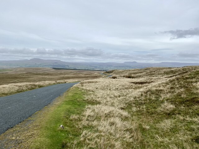
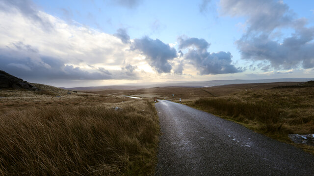
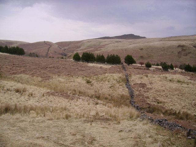
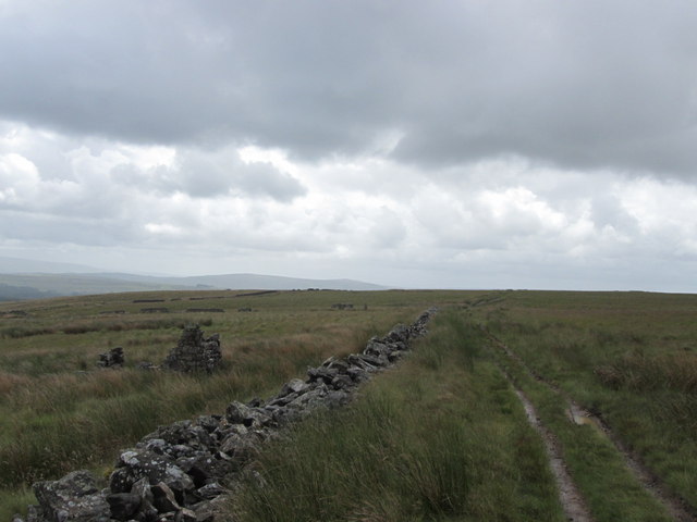
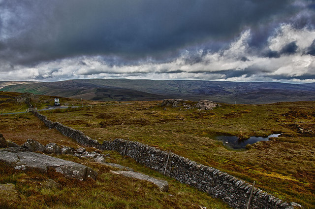
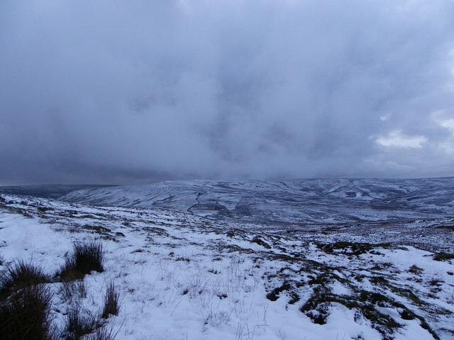
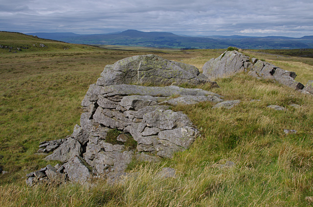
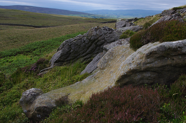
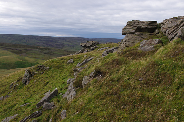
Gregson's Hill is a notable natural landmark located in Yorkshire, England. Situated within the picturesque countryside, this prominent hill offers breathtaking panoramic views of the surrounding landscape. Standing at an impressive height of approximately 500 meters, it qualifies as a hill rather than a mountain.

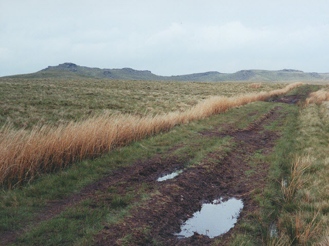
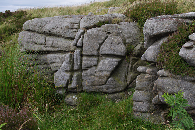
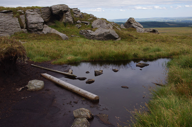
The hill is covered in lush greenery, with a diverse range of plant species adorning its slopes. Wildflowers, such as bluebells and primroses, create a vibrant and colorful display during the spring months. The hill's vegetation also includes various types of grasses, shrubs, and trees, contributing to its overall scenic beauty.

Gregson's Hill attracts outdoor enthusiasts and nature lovers alike. Its challenging terrain makes it an ideal destination for hikers, who can enjoy invigorating walks along its well-maintained hiking trails. In addition, the hill offers opportunities for birdwatching, with several species of birds, including kestrels and buzzards, frequently spotted soaring above.

The hill's location within Yorkshire provides visitors with easy access to nearby attractions. The picturesque village of Gregson's Dale lies at the foot of the hill, offering quaint cottages, charming pubs, and a warm, welcoming atmosphere. The surrounding area is also home to a number of historic sites and cultural landmarks, including ancient ruins and stately homes.

Overall, Gregson's Hill is a magnificent natural feature that showcases the beauty of Yorkshire's countryside. Its stunning views, diverse flora, and recreational opportunities make it a must-visit destination for anyone seeking to immerse themselves in the region's natural splendor.

If you have any feedback on the listing, please let us know in the comments section below.

Gregson's Hill Images

Images are sourced within 2km of 54.050601/-2.4270339 or Grid Reference SD7261. Thanks to Geograph Open Source API. All images are credited.

Moorland road north of Bowland Knotts On the horizon are the 'Three Peaks' of Yorkshire.
Moorland road north of Bowland Knotts
On the horizon are the 'Three Peaks' of Yorkshire.
Keasden road heads down Crutchenber Fell Despite rain overngight and an unpromising sky in the morning, the weather is clearing up enough for a good day out in Gisburn Forest. The Keasden road crosses the watershed at Bowland Knotts and heads south for the forest and Stocks reservoir en route for Slaidburn. This used to be a very quiet road when last I passed this way (probably thirty years ago) but now carries a lot of people to the extensive carparks, paths and bike trails provided by the forestry and water companies.
Keasden road heads down Crutchenber Fell
Despite rain overngight and an unpromising sky in the morning, the weather is clearing up enough for a good day out in Gisburn Forest. The Keasden road crosses the watershed at Bowland Knotts and heads south for the forest and Stocks reservoir en route for Slaidburn. This used to be a very quiet road when last I passed this way (probably thirty years ago) but now carries a lot of people to the extensive carparks, paths and bike trails provided by the forestry and water companies.
Catlow Plantation Just above the original plantation. Looking towards Knot Clough and Bowland Knotts
Catlow Plantation
Just above the original plantation. Looking towards Knot Clough and Bowland Knotts
Track towards Bowland Knotts A footpath across the peaty moorland.
Track towards Bowland Knotts
A footpath across the peaty moorland.
Small ruined building beside the path near Old Moss
Bowland Knotts Before the storm at Bowland Knotts.
Bowland Knotts
Before the storm at Bowland Knotts.
There be a storm brewing - Bowland Fells Aye snow had been falling in the high wild fells of Bowland. Taken from Bowland Knotts looking towards the storm clouds,in the distance we see the dark stone wall zig-zagging (left of centre) up Cold Stone Plain towards the summit of Great Harlow.
There be a storm brewing - Bowland Fells
Aye snow had been falling in the high wild fells of Bowland. Taken from Bowland Knotts looking towards the storm clouds,in the distance we see the dark stone wall zig-zagging (left of centre) up Cold Stone Plain towards the summit of Great Harlow.
Green Knots A gritstone outcrop
Ingleborough is the prominent fell in the distance.
Green Knots
A gritstone outcrop Ingleborough is the prominent fell in the distance.
Knotteranum Gritstone rocks
Knotteranum
Gritstone rocks
Knotteranum A gritstone outcrop
Knotteranum
A gritstone outcrop
Bowland Knotts A gritstone outcrop and peat bog
Bowland Knotts
A gritstone outcrop and peat bog
Bowland Knotts Gritstone outcrops
Bowland Knotts
Gritstone outcrops
Knotteranum From the wall on Green Knotts. 
The sheep didn't hang around when I climbed over the wall.
Knotteranum
From the wall on Green Knotts. The sheep didn't hang around when I climbed over the wall.
Gritstone rocks, Knotteranum
Stone wall, Knotteranum The wall takes advantage of the natural boulder. 
Ingleborough is in the distance on the right.
Stone wall, Knotteranum
The wall takes advantage of the natural boulder. Ingleborough is in the distance on the right.
Stone wall, Knotteranum
Small tarn, Bowland Knotts Ingleborough (left) and Pen-y-ghent are the prominent fells in the distance.
Small tarn, Bowland Knotts
Ingleborough (left) and Pen-y-ghent are the prominent fells in the distance.
Flush bracket S5621 On the trig point on Bowland Knotts (430m).
Flush bracket S5621
On the trig point on Bowland Knotts (430m).
Show me another place!

Gregson's Hill is located at Grid Ref: SD7261 (Lat: 54.050601, Lng: -2.4270339)

Division: West Riding

Administrative County: North Yorkshire

District: Craven

Police Authority: North Yorkshire

What 3 Words

///triangle.calibrate.smallest. Near High Bentham, North Yorkshire

Related Wikis

Keasden

Keasden is a hamlet in the civil parish of Clapham-cum-Newby, in the Craven district of the county of North Yorkshire, in the north-western England. It...

Eldroth

Eldroth is a village in North Yorkshire, England. It is in the civil parish of Lawkland, part of the former Craven District, some 3.25 miles (5.23 km)...

White Hill (Forest of Bowland)

White Hill is a hill in the Forest of Bowland, north-western England. It lies between Slaidburn and High Bentham. The summit houses a tower and a trig...

Easington, Lancashire

Easington () is a civil parish within the Ribble Valley district of Lancashire, England, with a population in 2001 of 52. The Census 2011 population details...

Keasden Beck

Keasden Beck is a stream in Yorkshire (formerly the West Riding) rising near Keasden Head, joining the River Wenning south west of Clapham. == References... ==

Stocks Reservoir

Stocks Reservoir is a reservoir situated at the head of the Hodder valley in the Forest of Bowland, Lancashire, England (historically in the West Riding...

Clapham railway station

Clapham is a railway station on the Bentham Line, which runs between Leeds and Morecambe via Skipton. The station, situated 48 miles (77 km) north-west...

Great Stone of Fourstones

The Great Stone of Fourstones, or the Big Stone as it is known locally, is a glacial deposit on the moorlands of Tatham Fells, England, straddling the...

Nearby Amenities

Located within 500m of 54.050601,-2.4270339
Clapham Common
Created By: Potlatch 0.10f
Is In: Craven, North Yorkshire, Yorkshire, England, UK
Place: locality
Source: npe
Lat/Long: 54.0496077/-2.4245986
The data included in this document is from www.openstreetmap.org. The data is made available under ODbL.

Have you been to Gregson's Hill?

Leave your review of Gregson's Hill below (or comments, questions and feedback).