Far Brown Hill
Hill, Mountain in Yorkshire Ribble Valley
England
Far Brown Hill
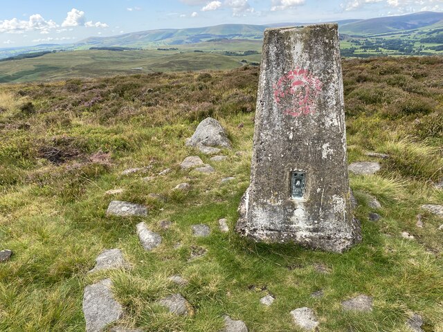
Far Brown Hill is a prominent landmark located in Yorkshire, England. Standing at an impressive elevation of 500 meters, it is classified as a hill rather than a mountain. It is situated within the renowned North York Moors National Park, making it a popular destination for both locals and tourists alike.
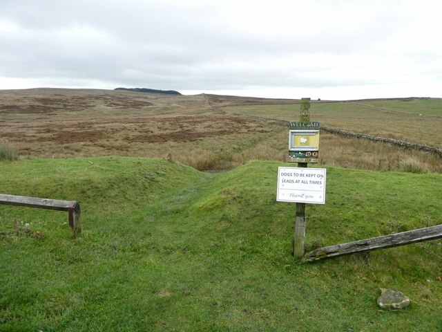
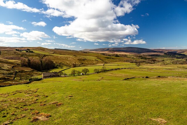
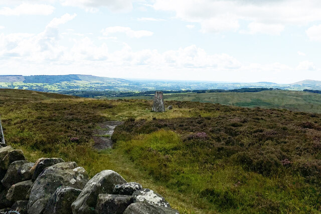
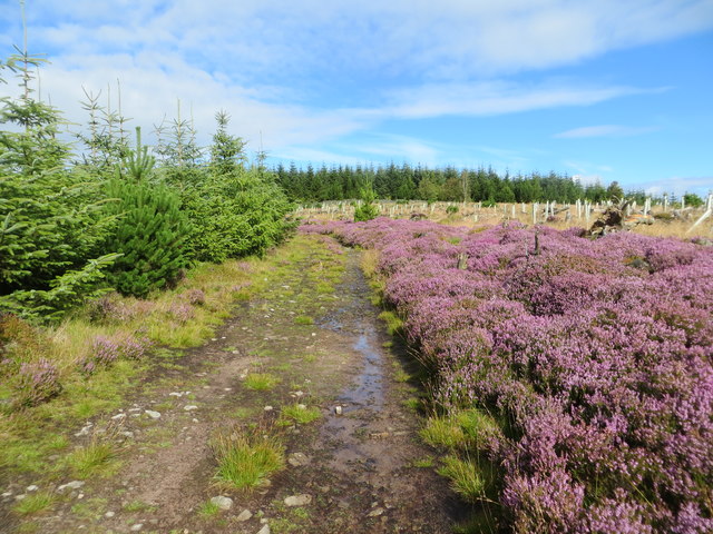
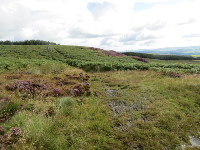
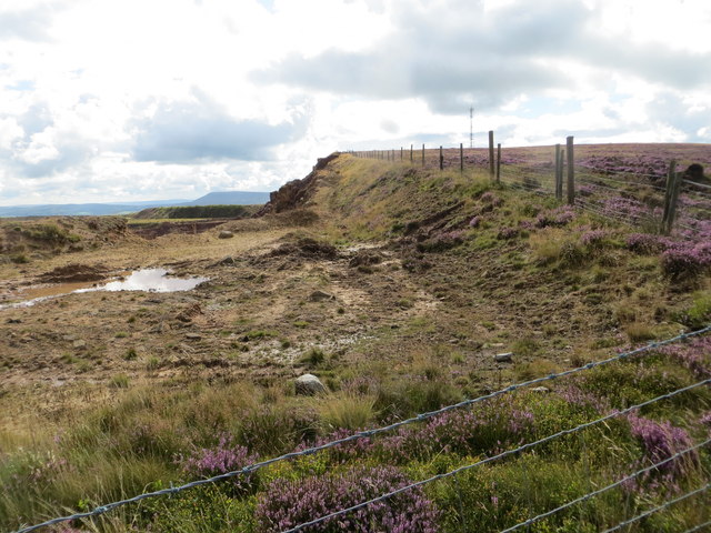
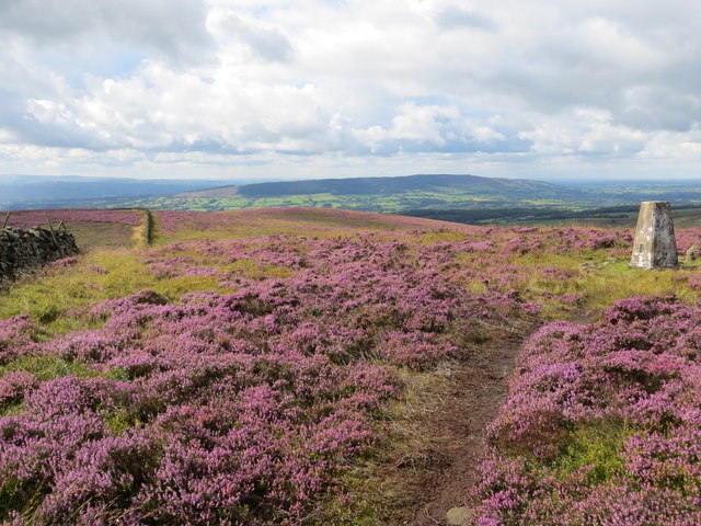
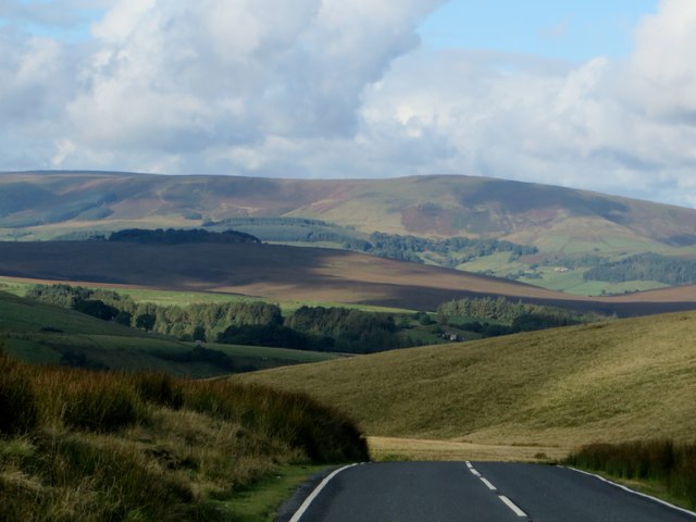
The hill offers breathtaking panoramic views of the surrounding countryside, with its rugged and undulating terrain adding to its scenic allure. Covered in heather and grasses, the landscape takes on a vibrant purple hue during late summer, creating a stunning visual spectacle.
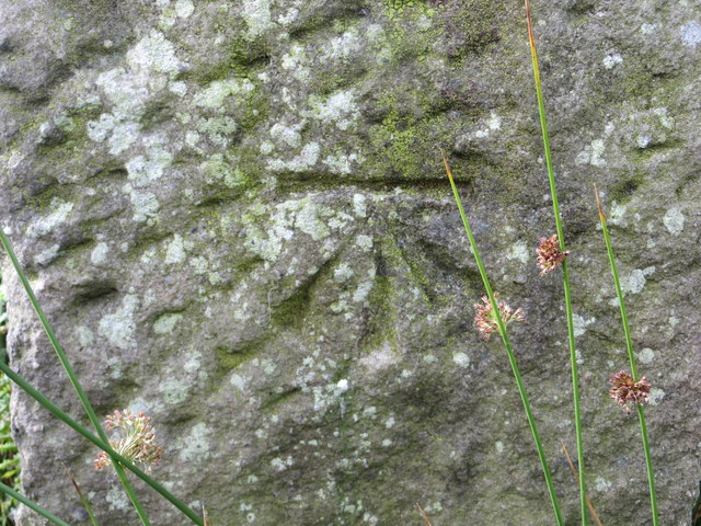
Far Brown Hill is also home to a diverse range of wildlife, including various bird species such as curlews, lapwings, and skylarks. The hill's slopes are dotted with numerous ancient stone formations, adding an air of mystery and intrigue to the area. These stones are believed to have been used for ceremonial purposes by ancient civilizations.
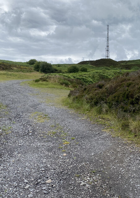
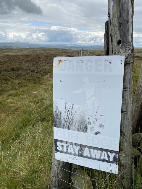
The hill is easily accessible via a network of footpaths and trails, making it an ideal location for hiking and nature enthusiasts. Its proximity to nearby villages and towns allows for convenient access to amenities and accommodation options.
Far Brown Hill offers visitors a tranquil and serene environment, providing a peaceful respite from the hustle and bustle of everyday life. Whether it be for a leisurely stroll, a challenging hike, or simply to enjoy the breathtaking views, Far Brown Hill is a must-visit destination for those seeking to explore the natural beauty of Yorkshire.
If you have any feedback on the listing, please let us know in the comments section below.
Far Brown Hill Images
Images are sourced within 2km of 53.930573/-2.4259287 or Grid Reference SD7248. Thanks to Geograph Open Source API. All images are credited.


Far Brown Hill is located at Grid Ref: SD7248 (Lat: 53.930573, Lng: -2.4259287)
Division: West Riding
Administrative County: Lancashire
District: Ribble Valley
Police Authority: Lancashire
What 3 Words
///ideal.releasing.chin. Near Waddington, Lancashire
Nearby Locations
Related Wikis

Easington Fell
Easington Fell is a Marilyn in the Forest of Bowland in Lancashire, England. It has been surveyed to be 70 cm higher than a nearby fell of almost identical...

Newton-in-Bowland
Newton or Newton-in-Bowland is a village and civil parish in the Ribble Valley district, in the county of Lancashire, England, formerly known as Newton...

St Andrew's Church, Slaidburn
St Andrew's Church is in Church Street, Slaidburn, Lancashire, England. It is an active Anglican parish church in the deanery of Bowland, the archdeaconry...

Eaves Hall
Eaves Hall was built in 1864 for John Burton (1809–1879), first son of James Burton and a wealthy cotton mill-owner. Sold by the Burtons in 1938, having...
Nearby Amenities
Located within 500m of 53.930573,-2.4259287Have you been to Far Brown Hill?
Leave your review of Far Brown Hill below (or comments, questions and feedback).