Easington Fell
Downs, Moorland in Yorkshire Ribble Valley
England
Easington Fell

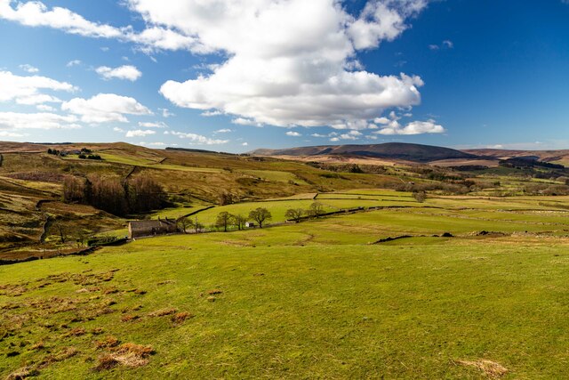
Easington Fell is a prominent geographical feature situated in the county of Yorkshire, England. It is a sprawling area of undulating terrain that includes downs and moorland, offering breathtaking views and an abundance of natural beauty.
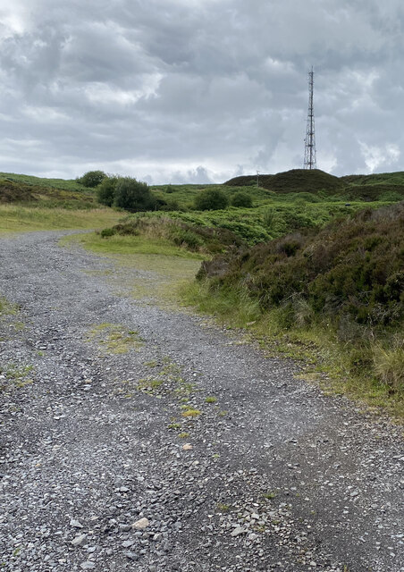
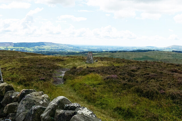
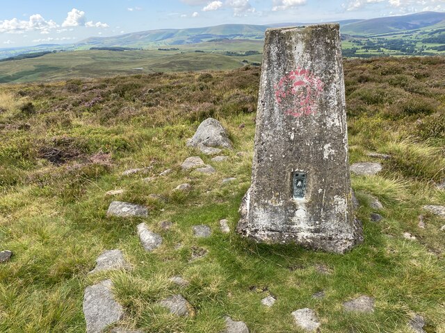
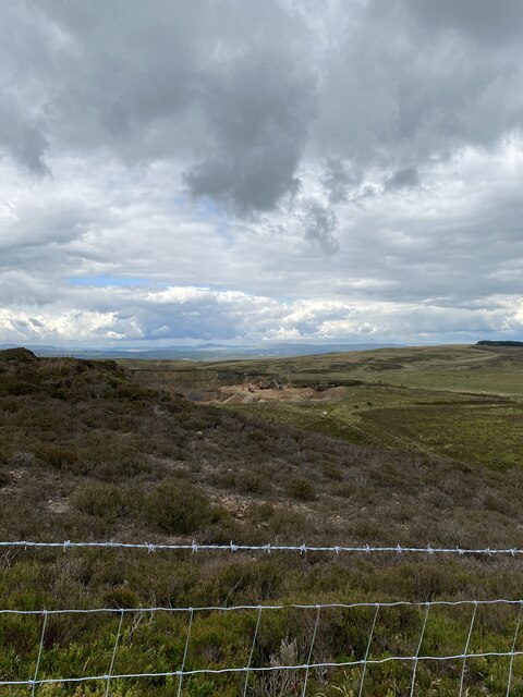
Located near the village of Easington, the fell is characterized by its rolling hills, heather-covered moorland, and occasional rocky outcrops. It spans approximately 5 square miles and reaches an elevation of around 1,300 feet, making it a popular destination for hikers, nature enthusiasts, and photographers.
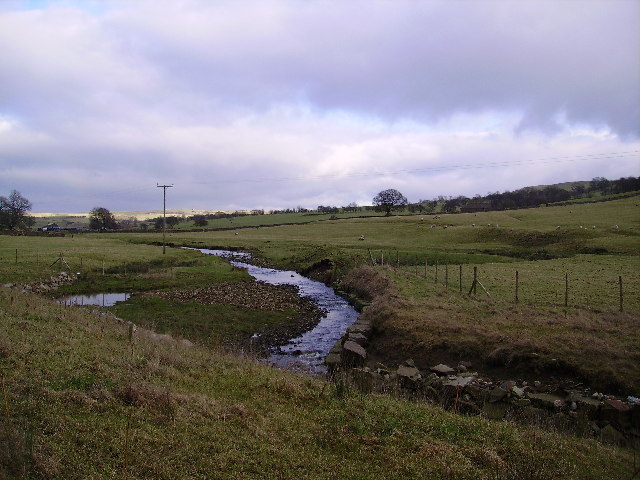
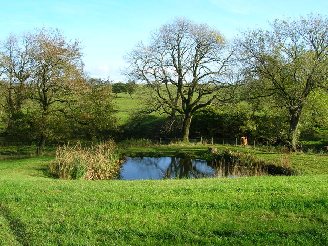
The fell is home to a diverse range of flora and fauna, including heather, bilberry, cotton grass, and mosses. It also provides a habitat for various bird species such as curlews, lapwings, and red grouse. The area's rich biodiversity is further enhanced by its proximity to the North York Moors National Park, which lies to the south.
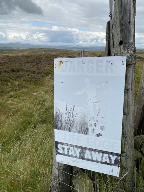
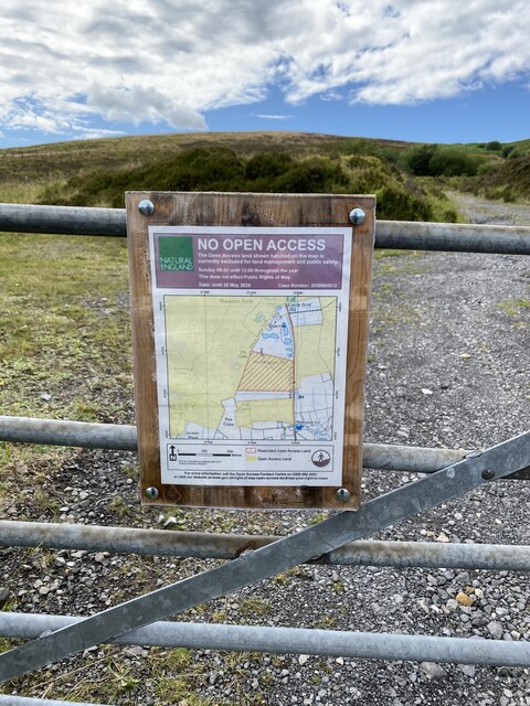
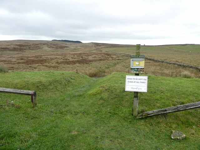
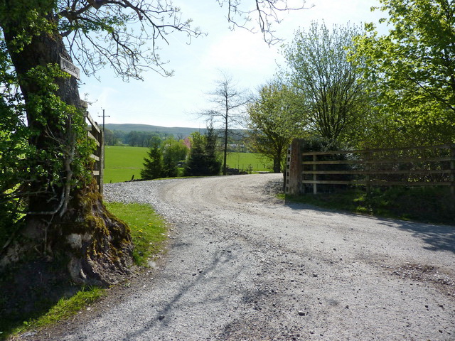
Visitors to Easington Fell can explore a network of footpaths and trails that crisscross the landscape, allowing them to immerse themselves in the tranquil surroundings. The fell offers panoramic views of the surrounding countryside, including the nearby coastline and the North Sea.
Easington Fell holds historical significance as well, with evidence of ancient settlements and mining activity dating back to the Bronze Age. The remnants of old mining shafts and extraction pits can still be seen, providing a glimpse into the area's past.
Overall, Easington Fell in Yorkshire is a captivating destination that showcases the rugged beauty of the region. Its combination of downs, moorland, and stunning vistas make it an ideal location for those seeking a peaceful retreat in nature.
If you have any feedback on the listing, please let us know in the comments section below.
Easington Fell Images
Images are sourced within 2km of 53.935947/-2.4261967 or Grid Reference SD7248. Thanks to Geograph Open Source API. All images are credited.


Easington Fell is located at Grid Ref: SD7248 (Lat: 53.935947, Lng: -2.4261967)
Division: West Riding
Administrative County: Lancashire
District: Ribble Valley
Police Authority: Lancashire
What 3 Words
///pimples.situates.failed. Near Waddington, Lancashire
Nearby Locations
Related Wikis

Easington Fell
Easington Fell is a Marilyn in the Forest of Bowland in Lancashire, England. It has been surveyed to be 70 cm higher than a nearby fell of almost identical...

Newton-in-Bowland
Newton or Newton-in-Bowland is a village and civil parish in the Ribble Valley district, in the county of Lancashire, England, formerly known as Newton...

St Andrew's Church, Slaidburn
St Andrew's Church is in Church Street, Slaidburn, Lancashire, England. It is an active Anglican parish church in the deanery of Bowland, the archdeaconry...

Slaidburn
Slaidburn () is a village and civil parish within the Ribble Valley district of Lancashire, England. The parish covers just over 5,000 acres of the Forest...

King's House, Slaidburn
King's House is a Grade II listed building in Slaidburn, Lancashire, England, now used as a youth hostel. It was originally built in the 18th century,...

Lancashire Witches Walk
The Lancashire Witches Walk is a 51-mile (82 km) long-distance footpath opened in 2012, between Barrowford and Lancaster, all in Lancashire, England. It...

Eaves Hall
Eaves Hall was built in 1864 for John Burton (1809–1879), first son of James Burton and a wealthy cotton mill-owner.Sold by the Burtons in 1938, having...

Bowland Rural District
Bowland was a rural district in the West Riding of Yorkshire from 1894 to 1974. It was named after the Forest of Bowland, which it included. It was formed...
Nearby Amenities
Located within 500m of 53.935947,-2.4261967Have you been to Easington Fell?
Leave your review of Easington Fell below (or comments, questions and feedback).