Round Hill
Hill, Mountain in Yorkshire Craven
England
Round Hill
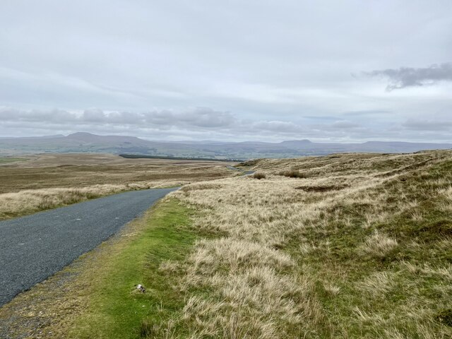
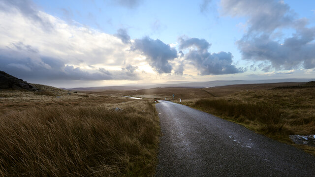
Round Hill is a prominent hill located in the county of Yorkshire, England. Standing at an elevation of 1,449 feet (442 meters), it is the highest point in the North Riding of Yorkshire and one of the highest peaks in the region. Located within the North York Moors National Park, Round Hill offers breathtaking panoramic views of the surrounding countryside.
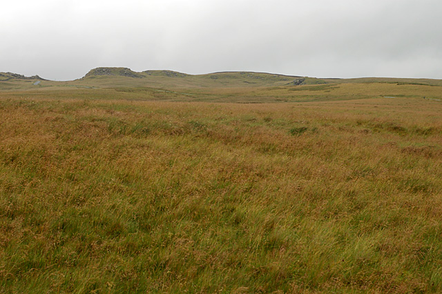
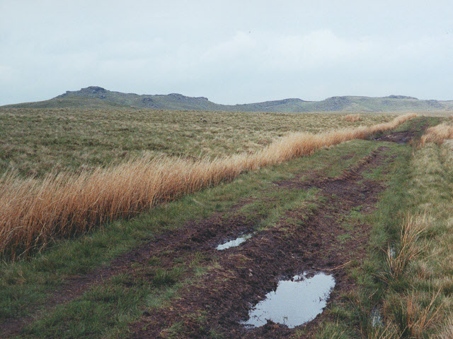
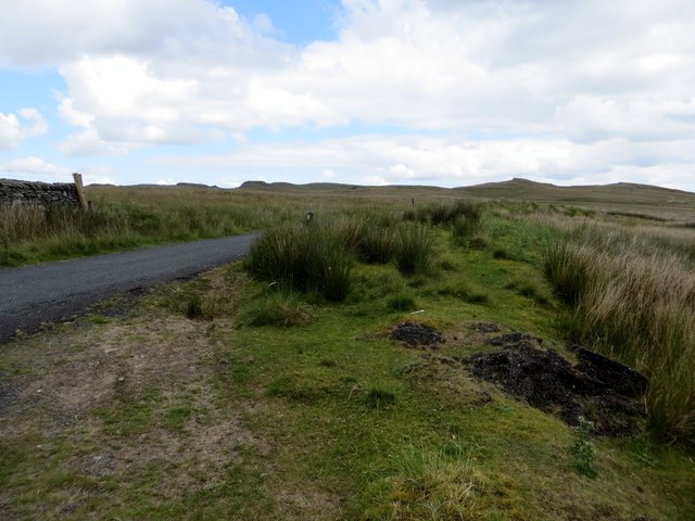
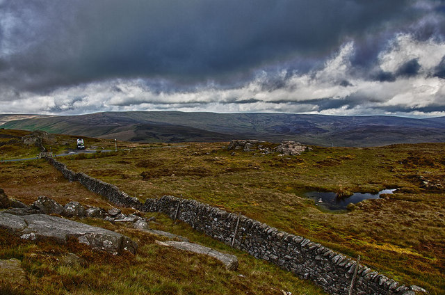
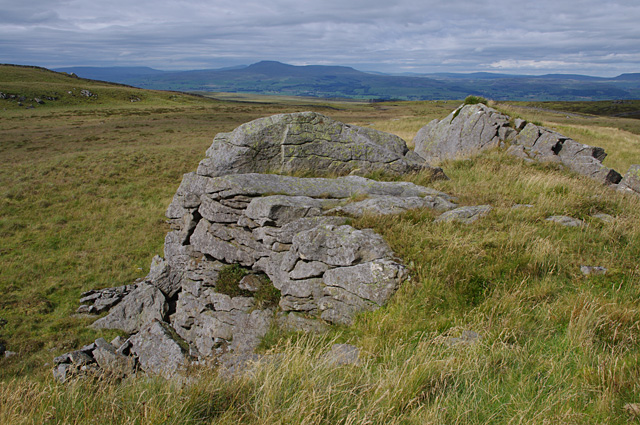
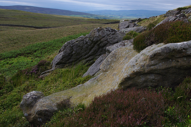
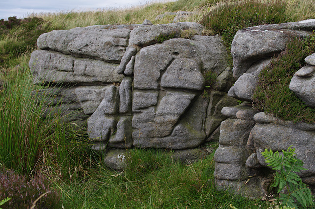
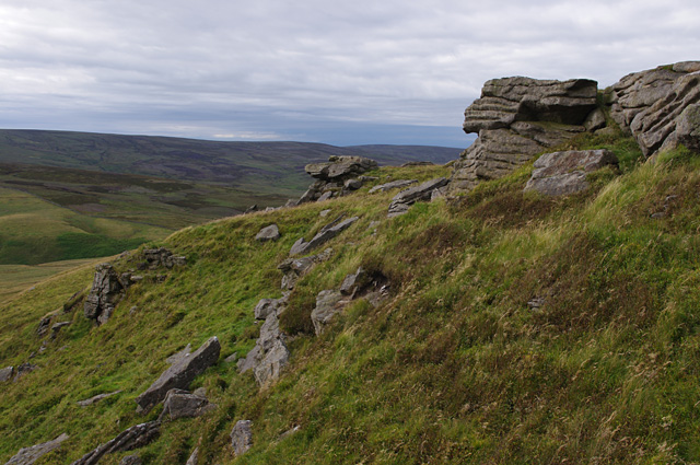
The hill is a popular destination for hikers, nature enthusiasts, and outdoor adventurers. Its unique geological formation, characterized by steep slopes and rocky outcrops, attracts climbers and boulderers seeking a challenge. The summit of Round Hill is marked by a large cairn, which provides a distinctive landmark for visitors.
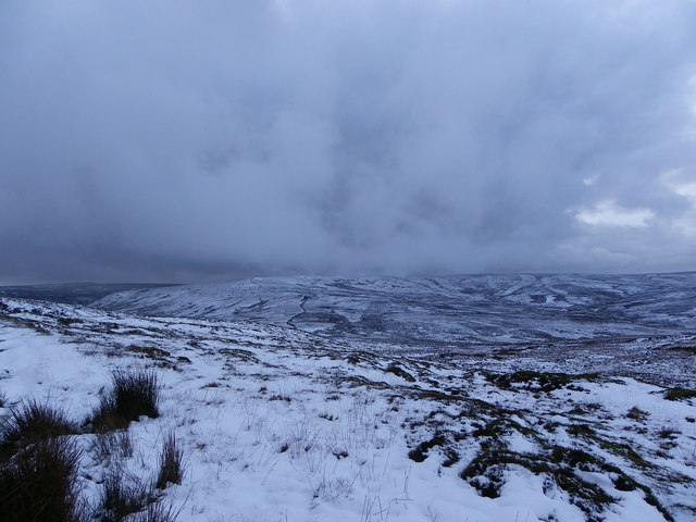
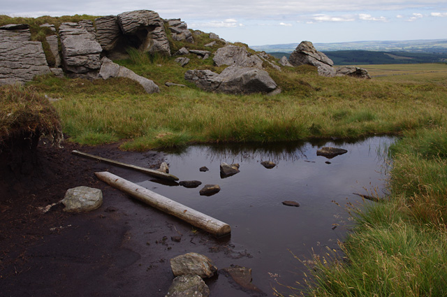
The landscape surrounding Round Hill is rich in natural beauty, with heather moorland, grassy slopes, and scattered woodland. The area is home to diverse wildlife, including various bird species, mammals such as deer and rabbits, and a variety of plant life.
Several trails and footpaths traverse the hill, making it accessible for walkers of all abilities. One popular route is the Cleveland Way, a long-distance footpath that passes near Round Hill, offering stunning views along the way.
Round Hill is not only a natural attraction but also holds historical significance. Evidence of prehistoric settlements has been discovered in the vicinity, adding to the area's allure for history enthusiasts.
Overall, Round Hill in Yorkshire offers visitors an opportunity to immerse themselves in the beauty of the North York Moors, providing a memorable experience for all who venture to its peak.
If you have any feedback on the listing, please let us know in the comments section below.
Round Hill Images
Images are sourced within 2km of 54.051258/-2.4189454 or Grid Reference SD7261. Thanks to Geograph Open Source API. All images are credited.


Round Hill is located at Grid Ref: SD7261 (Lat: 54.051258, Lng: -2.4189454)
Division: West Riding
Administrative County: North Yorkshire
District: Craven
Police Authority: North Yorkshire
What 3 Words
///tabloid.fights.airports. Near Settle, North Yorkshire
Nearby Locations
Related Wikis

Keasden
Keasden is a hamlet in the civil parish of Clapham-cum-Newby, in the Craven district of the county of North Yorkshire, in the north-western England. It...

Eldroth
Eldroth is a village in North Yorkshire, England. It is in the civil parish of Lawkland, part of the former Craven District, some 3.25 miles (5.23 km)...

Easington, Lancashire
Easington () is a civil parish within the Ribble Valley district of Lancashire, England, with a population in 2001 of 52. The Census 2011 population details...

Clapham railway station
Clapham is a railway station on the Bentham Line, which runs between Leeds and Morecambe via Skipton. The station, situated 48 miles (77 km) north-west...

Stocks Reservoir
Stocks Reservoir is a reservoir situated at the head of the Hodder valley in the Forest of Bowland, Lancashire, England (historically in the West Riding...

White Hill (Forest of Bowland)
White Hill is a hill in the Forest of Bowland, north-western England. It lies between Slaidburn and High Bentham. The summit houses a tower and a trig...

Keasden Beck
Keasden Beck is a stream in Yorkshire (formerly the West Riding) rising near Keasden Head, joining the River Wenning south west of Clapham. == References... ==

Lawkland
Lawkland is a civil parish in North Yorkshire, England, near the A65 and 4 miles (6.4 km) west of Settle. It lies within the Forest of Bowland Area of...
Nearby Amenities
Located within 500m of 54.051258,-2.4189454Have you been to Round Hill?
Leave your review of Round Hill below (or comments, questions and feedback).