Round Hill
Hill, Mountain in Northumberland
England
Round Hill
Round Hill is a captivating hill located in the county of Northumberland, England. Standing at an impressive height of 672 meters (2,205 feet), it is considered the highest point in the region. This prominent feature is situated within the North Pennines Area of Outstanding Natural Beauty, offering visitors breathtaking panoramic views of the surrounding landscape.
The hill is characterized by its distinctive rounded shape, which is believed to have been formed through glacial erosion during the last Ice Age. Its summit is marked by a trig point, providing a reference point for surveying and navigation purposes. The terrain consists of a mixture of grassy slopes, heather-covered moorland, and scattered rocky outcrops, adding to the hill's visual appeal.
Round Hill is a popular destination for outdoor enthusiasts and nature lovers. The area is crisscrossed by numerous footpaths and walking trails, allowing visitors to explore the hill and its surroundings at their own pace. The diverse flora and fauna make it an ideal habitat for a variety of wildlife, including birds of prey, grouse, and mountain hares.
The hill's remote location and unspoiled natural beauty offer a tranquil retreat for those seeking solitude and a chance to connect with nature. Its elevation also makes it a prime spot for stargazing, with minimal light pollution providing excellent conditions for observing the night sky.
Overall, Round Hill in Northumberland is a captivating and majestic natural feature, offering visitors a chance to immerse themselves in the stunning landscapes of the North Pennines while enjoying a range of outdoor activities.
If you have any feedback on the listing, please let us know in the comments section below.
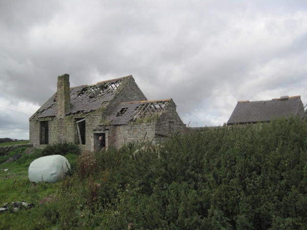
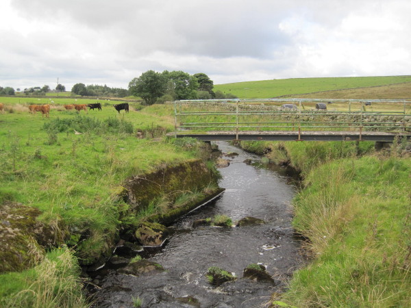
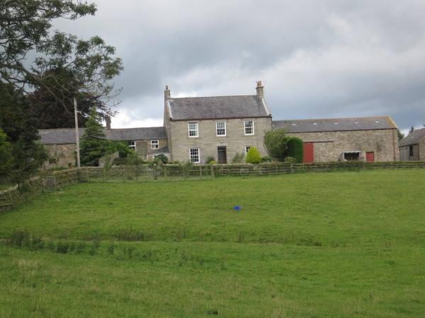
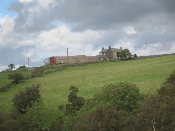
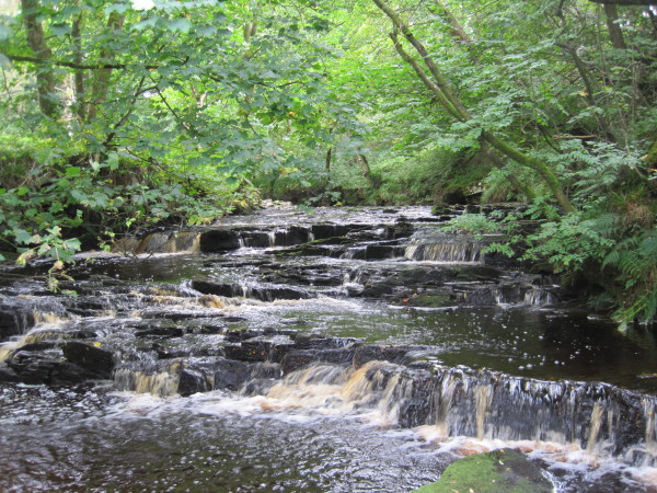
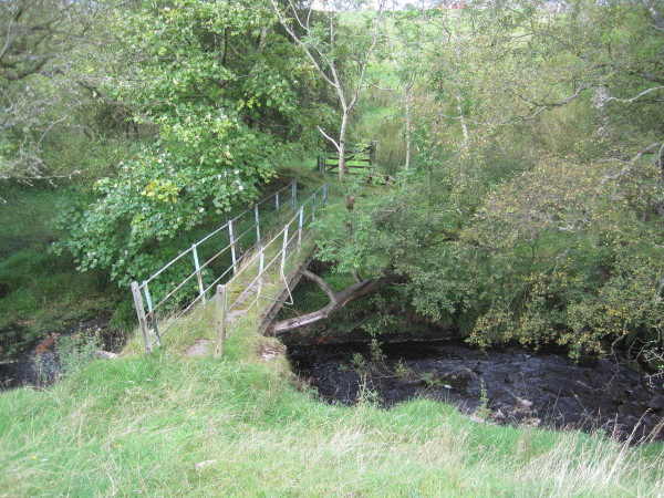
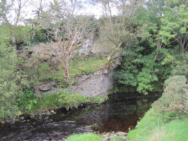
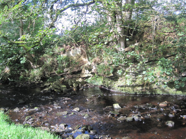
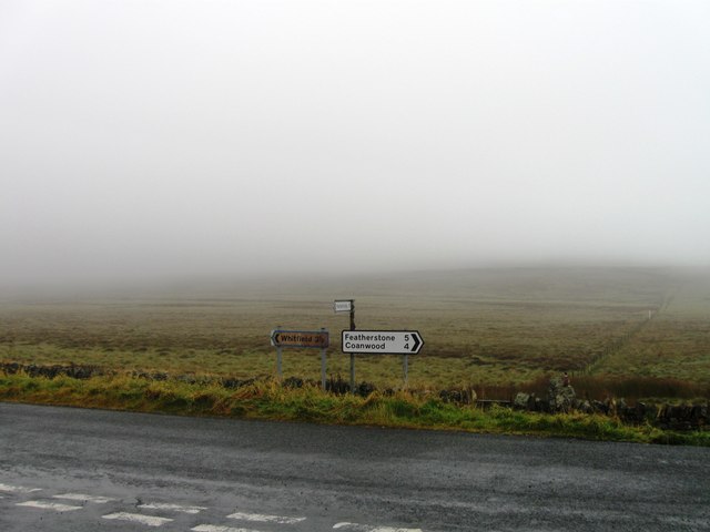
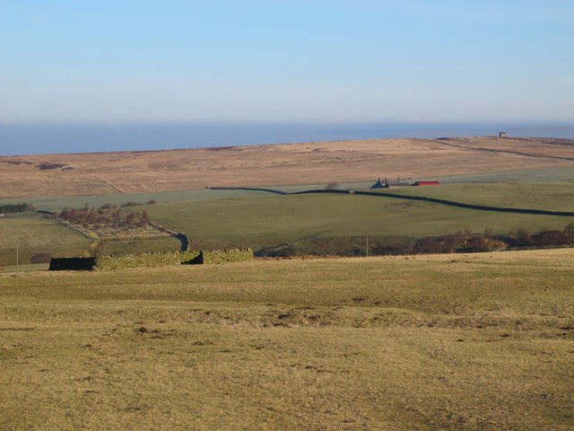
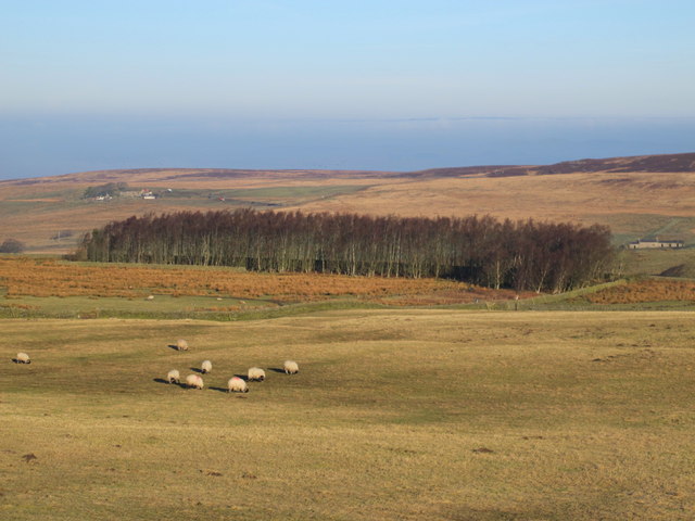
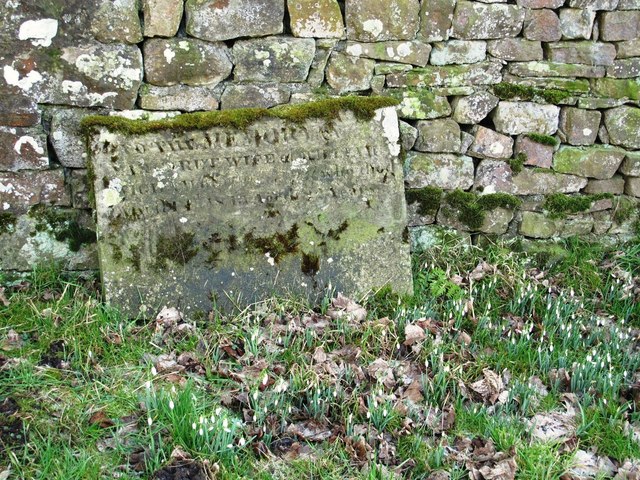
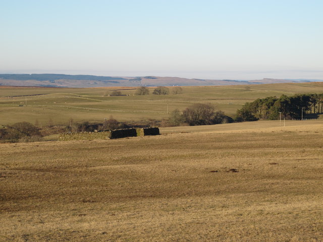
Round Hill Images
Images are sourced within 2km of 54.929936/-2.4362877 or Grid Reference NY7259. Thanks to Geograph Open Source API. All images are credited.


Round Hill is located at Grid Ref: NY7259 (Lat: 54.929936, Lng: -2.4362877)
Unitary Authority: Northumberland
Police Authority: Northumbria
What 3 Words
///enclosing.velocity.launcher. Near Haltwhistle, Northumberland
Nearby Locations
Related Wikis

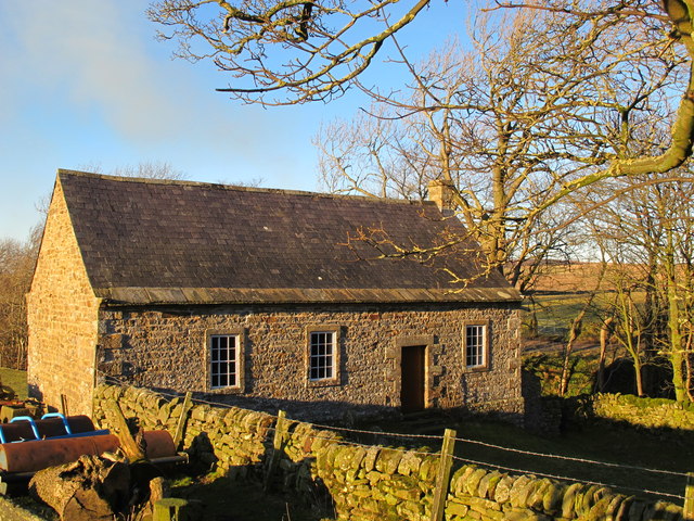
Coanwood Friends Meeting House
Coanwood Friends Meeting House is a redundant Quaker meeting house under the care of the Historic Chapels Trust. It stands in an isolated, sparsely populated...

Unthank, Haltwhistle
Unthank is a village near Haltwhistle in Northumberland, England. It is first mentioned in writing as Unthanc around 1200. == Governance == Unthank is...

Unthank Hall
Unthank Hall is a Grade II listed property now serving as commercial offices, situated on the southern bank of the River South Tyne east of Plenmeller...
Rowfoot
Rowfoot is a hamlet in Northumberland, England at grid reference NY6849860722. == External links == Media related to Rowfoot at Wikimedia Commons
Nearby Amenities
Located within 500m of 54.929936,-2.4362877Have you been to Round Hill?
Leave your review of Round Hill below (or comments, questions and feedback).