Beggar Hillock

Hill, Mountain in Kincardineshire

Scotland

Beggar Hillock

Glen of Dumtochty Woodland in this mostly forested glen.
Glen of Dumtochty Credit: Richard Webb

Beggar Hillock is a prominent hill located in the region of Kincardineshire, Scotland. Rising to a height of approximately 247 meters (810 feet), it is a prominent feature of the local landscape. Situated near the village of Maryculter, the hill is easily accessible and attracts both locals and tourists alike.

The name "Beggar Hillock" is believed to have originated from the historical practice of beggars seeking refuge in the area. It is said that beggars would gather at the base of the hill, hence earning it the name. Despite its humble etymology, the hill is far from unremarkable.

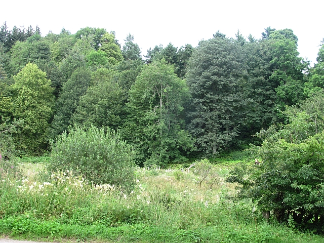
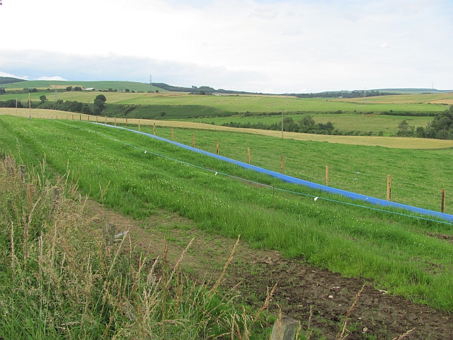
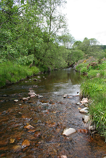
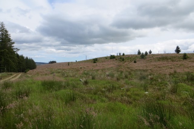
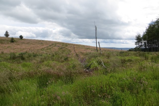
Beggar Hillock offers stunning panoramic views of the surrounding countryside, including the picturesque River Dee. On a clear day, visitors can enjoy breathtaking vistas of rolling hills, verdant farmland, and the sparkling waters of the North Sea in the distance. The hill is also home to a diverse range of wildlife, making it a popular spot for nature enthusiasts.

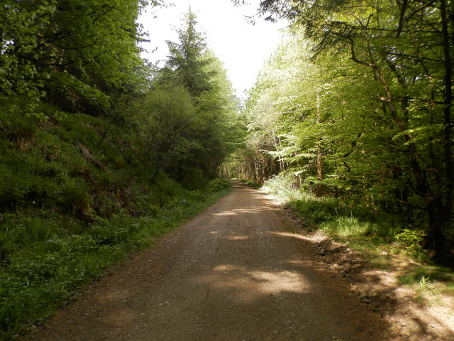
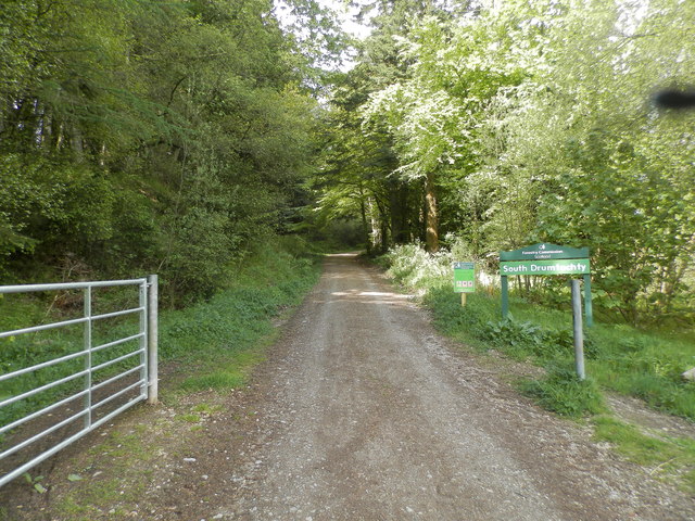
Hikers and outdoor enthusiasts are drawn to Beggar Hillock due to its well-maintained trails and challenging terrain. The hill provides a variety of routes, catering to different fitness levels. Whether one seeks a leisurely stroll or a more strenuous climb, there is something for everyone.

Overall, Beggar Hillock is a natural gem in Kincardineshire, offering visitors a chance to immerse themselves in the beauty and tranquility of the Scottish countryside.

If you have any feedback on the listing, please let us know in the comments section below.

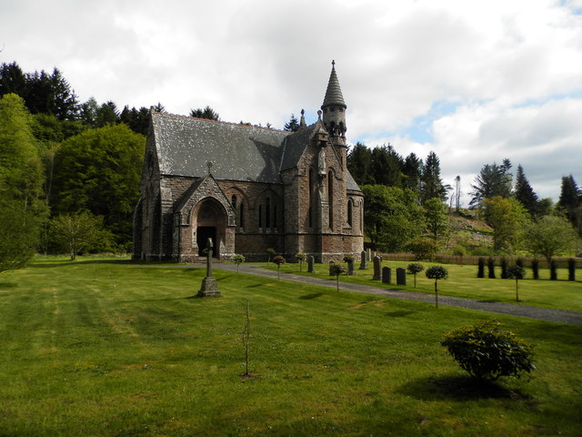
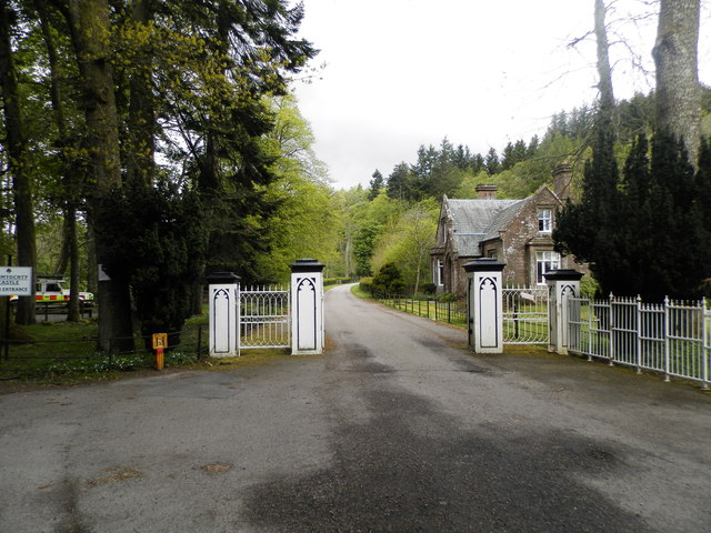
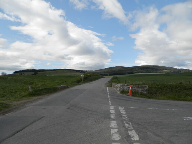
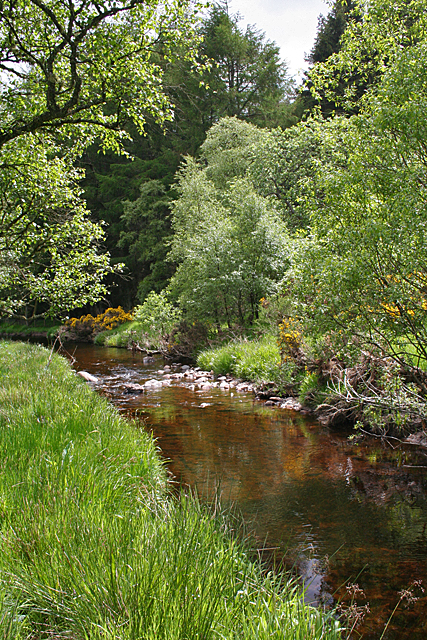
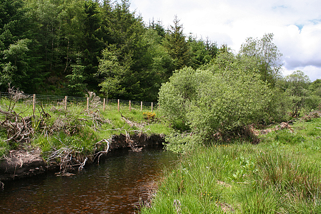
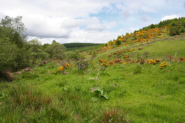
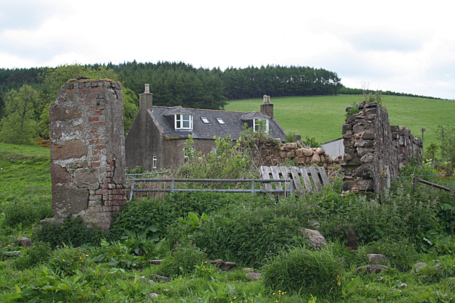
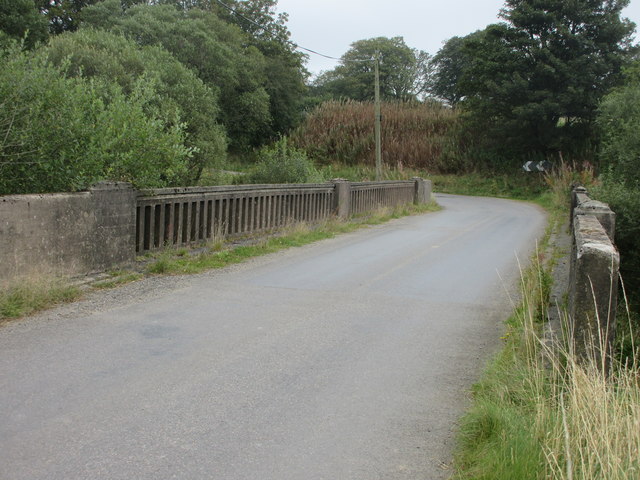
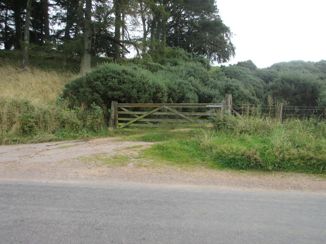
Beggar Hillock Images

Images are sourced within 2km of 56.920483/-2.4590729 or Grid Reference NO7281. Thanks to Geograph Open Source API. All images are credited.

Glen of Dumtochty Woodland in this mostly forested glen.
Glen of Dumtochty
Woodland in this mostly forested glen.
Field by Auchenblae A new pipeline is being laid beside the road here.
Field by Auchenblae
A new pipeline is being laid beside the road here.
Forest road in Glen of Drumtochty
Entrance to South Drumtochty Forest
St Palladius Church, Drumtochty
Castle gates at Drumtochty
Burnmouth Brig over Burnie Shag
Bervie Water This square is mostly forested, but there is a corner where the Bervie Water flows through more open fields.
Bervie Water
This square is mostly forested, but there is a corner where the Bervie Water flows through more open fields.
Bervie Water Looking upstream. Note how close the forest is to the far bank of the river. Forest plantations take up the majority of this square.
Bervie Water
Looking upstream. Note how close the forest is to the far bank of the river. Forest plantations take up the majority of this square.
Near Corsebauld There's just a small corner of this square made up of rough grazing. It looks as if the whins have been burned, but they are growing again from the roots. It takes more than a fire to get rid of whins.
Near Corsebauld
There's just a small corner of this square made up of rough grazing. It looks as if the whins have been burned, but they are growing again from the roots. It takes more than a fire to get rid of whins.
Bervie Water The water is very clear, although peat-stained. Very tempting, if it had been deep enough to contemplate swimming!
Bervie Water
The water is very clear, although peat-stained. Very tempting, if it had been deep enough to contemplate swimming!
Corsebauld The house at Corsebauld, viewed through the ruins of another building.
Corsebauld
The house at Corsebauld, viewed through the ruins of another building.
Chapelton House The farm steadings at Chapelton have mostly been converted to housing, but this is the rather attractive farm house, viewed from the other side of the road.
Chapelton House
The farm steadings at Chapelton have mostly been converted to housing, but this is the rather attractive farm house, viewed from the other side of the road.
Felled area, Drumtochty Forest A small hill was not replanted after the last crop of trees was taken out.
Felled area, Drumtochty Forest
A small hill was not replanted after the last crop of trees was taken out.
Felled area, Drumtochty Forest Felled a while ago and not replanted.
Felled area, Drumtochty Forest
Felled a while ago and not replanted.
Rusty gate Gate on the north side of the Auchenblae to Stonehaven road near Dellavaird.
Rusty gate
Gate on the north side of the Auchenblae to Stonehaven road near Dellavaird.
Bridge over the Bervie Water Bridge carrying the C1K Auchenblae to Stonehaven road over the Bervie Water.
Bridge over the Bervie Water
Bridge carrying the C1K Auchenblae to Stonehaven road over the Bervie Water.
Free Entry But Bull Will Charge Wooden gate at the roadside south of Glenfarquhar Lodge carrying the wording 'FREE ENTRY BUT BULL WILL CHARGE'.
Free Entry But Bull Will Charge
Wooden gate at the roadside south of Glenfarquhar Lodge carrying the wording 'FREE ENTRY BUT BULL WILL CHARGE'.
Show me another place!

Beggar Hillock is located at Grid Ref: NO7281 (Lat: 56.920483, Lng: -2.4590729)

Unitary Authority: Aberdeenshire

Police Authority: North East

What 3 Words

///nervy.intention.flap. Near Laurencekirk, Aberdeenshire

Related Wikis

Drumtochty Castle

Drumtochty Castle is a neo-gothic style castellated mansion erected in 1812 approximately three kilometres north-west of Auchenblae, Kincardineshire, Scotland...

Kincardineshire

Kincardineshire, also known as the Mearns (from the Scottish Gaelic A' Mhaoirne meaning "the Stewartry"), is a historic county, registration county and...

Auchinblae distillery

Auchenblae distillery was a scotch whisky distillery in Auchenblae, Kincardine, Aberdeenshire, Scotland. == History == The distillery was created in 1895...

Drumtochty Forest

Drumtochty Forest is a coniferous woodland in Kincardineshire, Scotland. In earlier times this forest was associated with Drumtochty Castle. Other notable...

Nearby Amenities

Located within 500m of 56.920483,-2.4590729
Power: pole
Lat/Long: 56.918319/-2.4660117
Power: pole
Lat/Long: 56.9189045/-2.4649892
Power: pole
Lat/Long: 56.9194077/-2.4641176
Power: pole
Lat/Long: 56.9197152/-2.4636031
Power: pole
Lat/Long: 56.9202152/-2.4627048
Power: pole
Lat/Long: 56.9207237/-2.4618065
Power: pole
Lat/Long: 56.9213762/-2.4610191
Power: pole
Lat/Long: 56.9220468/-2.4602206
Power: pole
Lat/Long: 56.9228288/-2.4593312
Power: pole
Lat/Long: 56.919352/-2.4660296
Power: pole
Lat/Long: 56.9197237/-2.4669057
The data included in this document is from www.openstreetmap.org. The data is made available under ODbL.

Have you been to Beggar Hillock?

Leave your review of Beggar Hillock below (or comments, questions and feedback).