Paldyfair Wood

Wood, Forest in Kincardineshire

Scotland

Paldyfair Wood

Mid Blairs A distant view of Mid Blairs from the roadside to the south-east.
Mid Blairs Credit: Scott Cormie

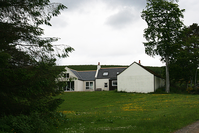
Paldyfair Wood is a picturesque woodland located in Kincardineshire, Scotland. Spanning an area of approximately [insert size], it is a popular destination for nature lovers, hikers, and birdwatchers alike.

The woodland is characterized by its diverse array of native trees, including oak, birch, and beech, which create a stunning canopy overhead. This lush vegetation provides a habitat for numerous bird species, such as woodpeckers, thrushes, and warblers, making it an ideal spot for birdwatching enthusiasts.

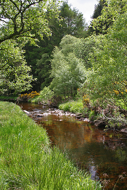
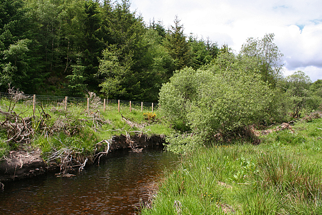
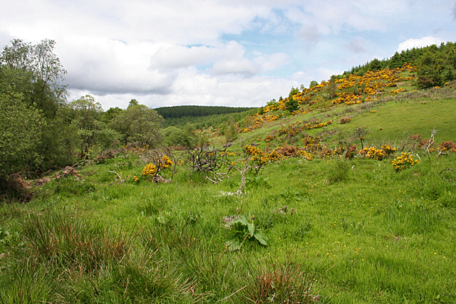
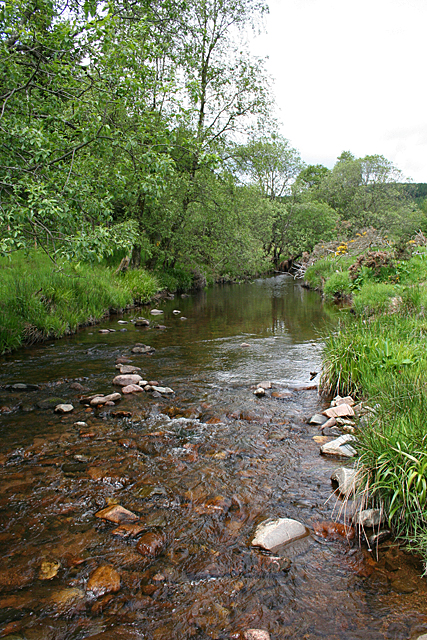
Traversing through Paldyfair Wood is a network of well-maintained trails, allowing visitors to explore the area's natural beauty at their own pace. These trails lead to various points of interest, such as tranquil ponds and meandering streams, creating a peaceful and serene atmosphere. In spring, the forest floor comes alive with vibrant wildflowers, adding bursts of color to the already picturesque landscape.

Wildlife is abundant in Paldyfair Wood, with occasional sightings of red squirrels, deer, and even elusive pine martens. The woodland's varied terrain also provides a habitat for a diverse range of insects, including butterflies and dragonflies.

For those seeking a relaxing escape from the hustle and bustle of everyday life, Paldyfair Wood offers a tranquil retreat. Its natural beauty, diverse flora and fauna, and well-maintained trails make it a captivating destination for nature enthusiasts of all ages.

If you have any feedback on the listing, please let us know in the comments section below.

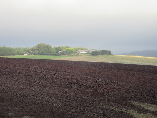
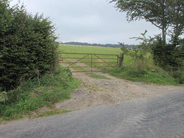
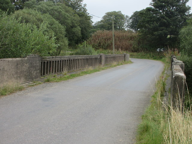
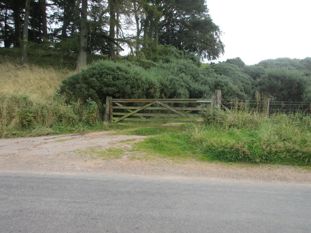
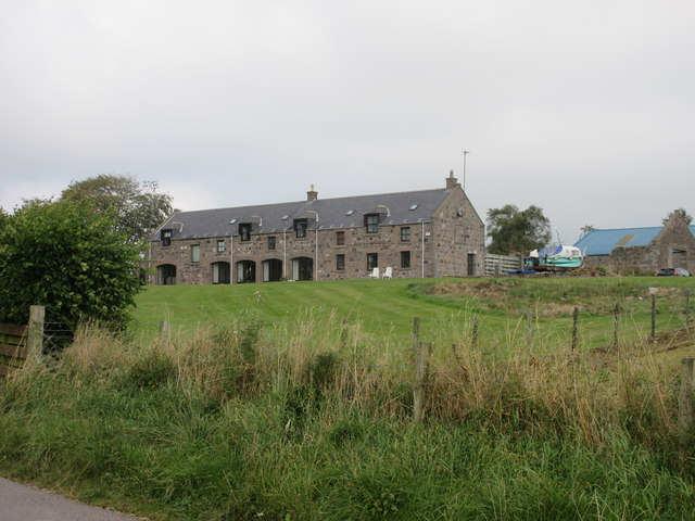
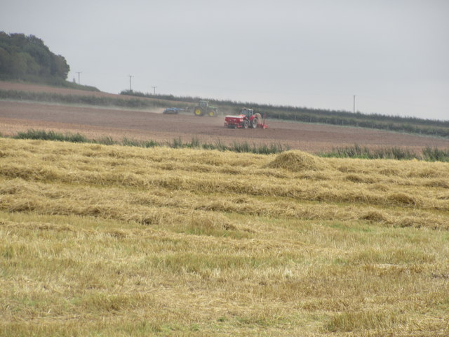
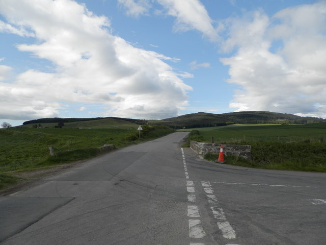
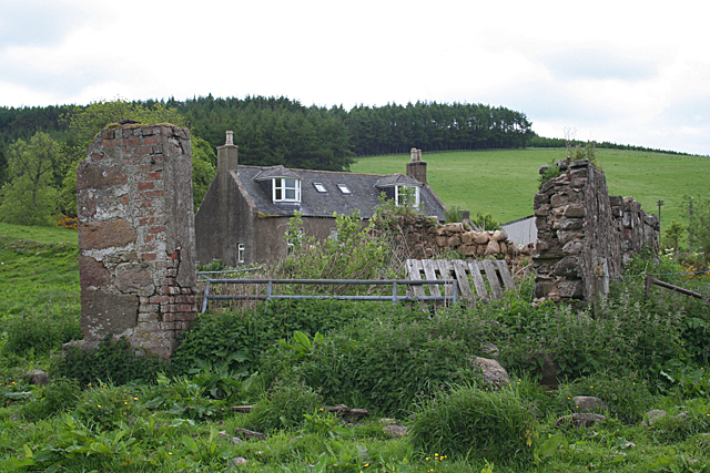
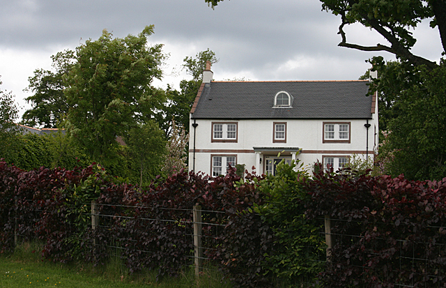
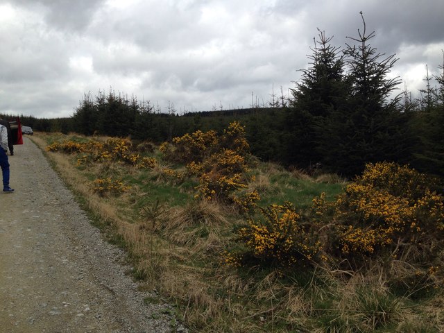
Paldyfair Wood Images

Images are sourced within 2km of 56.923162/-2.448773 or Grid Reference NO7281. Thanks to Geograph Open Source API. All images are credited.

Mid Blairs A distant view of Mid Blairs from the roadside to the south-east.
Mid Blairs
A distant view of Mid Blairs from the roadside to the south-east.
Rusty gate Gate on the north side of the Auchenblae to Stonehaven road near Dellavaird.
Rusty gate
Gate on the north side of the Auchenblae to Stonehaven road near Dellavaird.
Bridge over the Bervie Water Bridge carrying the C1K Auchenblae to Stonehaven road over the Bervie Water.
Bridge over the Bervie Water
Bridge carrying the C1K Auchenblae to Stonehaven road over the Bervie Water.
Free Entry But Bull Will Charge Wooden gate at the roadside south of Glenfarquhar Lodge carrying the wording 'FREE ENTRY BUT BULL WILL CHARGE'.
Free Entry But Bull Will Charge
Wooden gate at the roadside south of Glenfarquhar Lodge carrying the wording 'FREE ENTRY BUT BULL WILL CHARGE'.
Glenfarquhar House Converted steadings at Glenfarquhar, viewed from the road to the south.
Glenfarquhar House
Converted steadings at Glenfarquhar, viewed from the road to the south.
Farmwork on Herscha Hill Working on the fields near Newlands on the lower slopes of Herscha Hill.
Farmwork on Herscha Hill
Working on the fields near Newlands on the lower slopes of Herscha Hill.
Burnmouth Brig over Burnie Shag
Bervie Water This square is mostly forested, but there is a corner where the Bervie Water flows through more open fields.
Bervie Water
This square is mostly forested, but there is a corner where the Bervie Water flows through more open fields.
Chapelton Croft The croft stands beside the signposted path from Bervie Braes to the Slug Road.
Chapelton Croft
The croft stands beside the signposted path from Bervie Braes to the Slug Road.
Bervie Water Looking upstream. Note how close the forest is to the far bank of the river. Forest plantations take up the majority of this square.
Bervie Water
Looking upstream. Note how close the forest is to the far bank of the river. Forest plantations take up the majority of this square.
Near Corsebauld There's just a small corner of this square made up of rough grazing. It looks as if the whins have been burned, but they are growing again from the roots. It takes more than a fire to get rid of whins.
Near Corsebauld
There's just a small corner of this square made up of rough grazing. It looks as if the whins have been burned, but they are growing again from the roots. It takes more than a fire to get rid of whins.
Bervie Water The water is very clear, although peat-stained. Very tempting, if it had been deep enough to contemplate swimming!
Bervie Water
The water is very clear, although peat-stained. Very tempting, if it had been deep enough to contemplate swimming!
Corsebauld The house at Corsebauld, viewed through the ruins of another building.
Corsebauld
The house at Corsebauld, viewed through the ruins of another building.
Chapelton House The farm steadings at Chapelton have mostly been converted to housing, but this is the rather attractive farm house, viewed from the other side of the road.
Chapelton House
The farm steadings at Chapelton have mostly been converted to housing, but this is the rather attractive farm house, viewed from the other side of the road.
Forestry, Shoolbraid Wood
Cut silage field near Auchenblae
Minor road towards Auchenblae
Auchenblae Golf Course, 6th/15th Hole, The Marsh The sixth hole at Auchenblae, looking to the green.
Auchenblae Golf Course, 6th/15th Hole, The Marsh
The sixth hole at Auchenblae, looking to the green.
Show me another place!

Paldyfair Wood is located at Grid Ref: NO7281 (Lat: 56.923162, Lng: -2.448773)

Unitary Authority: Aberdeenshire

Police Authority: North East

What 3 Words

///episode.newer.disengage. Near Laurencekirk, Aberdeenshire

Related Wikis

Droop Hill

Droop Hill is a mountain landform in the Kincardine and Mearns region of Aberdeenshire, Scotland. The locale had been featured in a windfarm proposal...

Auchinblae distillery

Auchenblae distillery was a scotch whisky distillery in Auchenblae, Kincardine, Aberdeenshire, Scotland. == History == The distillery was created in 1895...

Fordoun Stone

The Fordoun Stone is a class II Pictish cross slab in Fordoun parish church, Auchenblae, Aberdeenshire, Scotland. == Description == A slab of Old Red Sandstone...

Drumtochty Castle

Drumtochty Castle is a neo-gothic style castellated mansion erected in 1812 approximately three kilometres north-west of Auchenblae, Kincardineshire, Scotland...

Kincardineshire

Kincardineshire, also known as the Mearns (from the Scottish Gaelic A' Mhaoirne meaning "the Stewartry"), is a historic county, registration county and...

Drumtochty Forest

Drumtochty Forest is a coniferous woodland in Kincardineshire, Scotland. In earlier times this forest was associated with Drumtochty Castle. Other notable...

Auchenblae

Auchenblae (, Scottish Gaelic: Achadh nam Blàth) is a village in the Kincardine and Mearns area of Aberdeenshire, formerly in Kincardineshire, Scotland...

Glenbervie

Glenbervie (Scottish Gaelic: Gleann Biorbhaidh) is located in the north east of Scotland in the Howe o' the Mearns, one mile from the village of Drumlithie...

Nearby Amenities

Located within 500m of 56.923162,-2.448773
Power: tower
Lat/Long: 56.9196427/-2.4470239
Power: tower
Lat/Long: 56.920938/-2.4441783
Power: pole
Lat/Long: 56.9257781/-2.4465034
Power: pole
Lat/Long: 56.9259233/-2.4468494
Power: pole
Lat/Long: 56.9265963/-2.4475104
Power: pole
Lat/Long: 56.9270538/-2.4479362
Power: pole
Lat/Long: 56.9275574/-2.4484264
The data included in this document is from www.openstreetmap.org. The data is made available under ODbL.

Have you been to Paldyfair Wood?

Leave your review of Paldyfair Wood below (or comments, questions and feedback).