Foumart Wood

Wood, Forest in Kincardineshire

Scotland

Foumart Wood

Forestry road near Scare Hill
Forestry road near Scare Hill Credit: Steven Brown

The requested URL returned error: 429 Too Many Requests

If you have any feedback on the listing, please let us know in the comments section below.
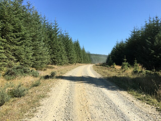
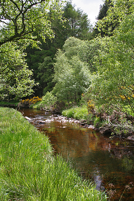
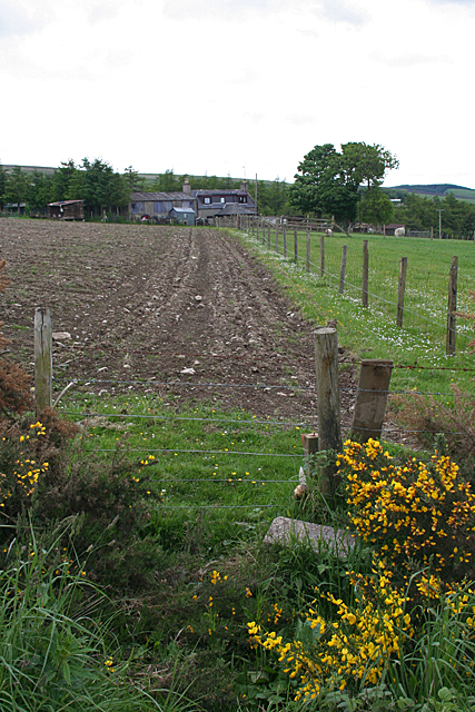
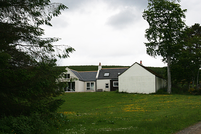
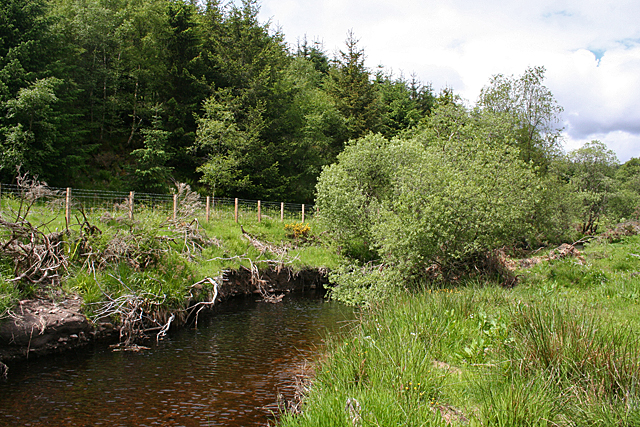
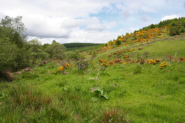
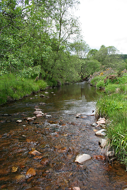
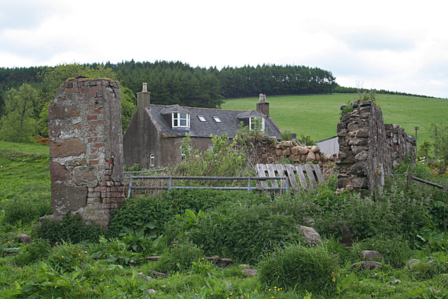
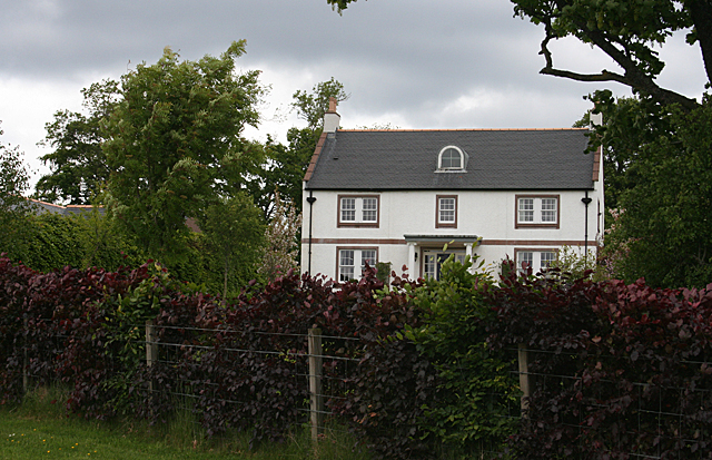
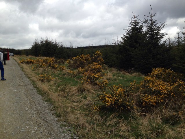
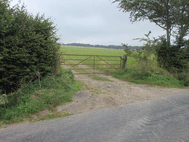
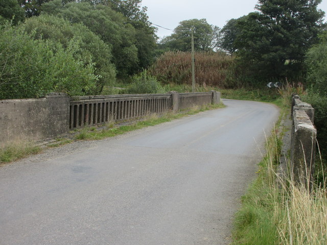
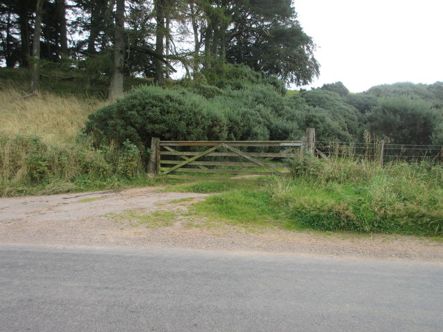
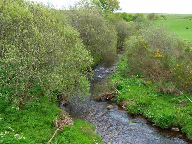
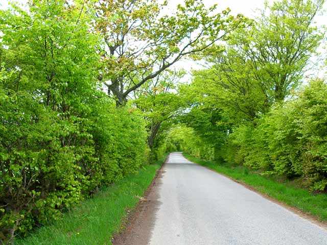
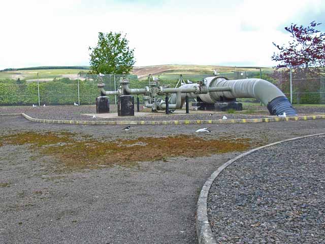
Foumart Wood Images

Images are sourced within 2km of 56.932416/-2.4483913 or Grid Reference NO7282. Thanks to Geograph Open Source API. All images are credited.

Forestry road near Scare Hill
Bervie Water This square is mostly forested, but there is a corner where the Bervie Water flows through more open fields.
Bervie Water
This square is mostly forested, but there is a corner where the Bervie Water flows through more open fields.
West Bogton The house almost merges into the similarly coloured earth of the recently seeded field.
West Bogton
The house almost merges into the similarly coloured earth of the recently seeded field.
Chapelton Croft The croft stands beside the signposted path from Bervie Braes to the Slug Road.
Chapelton Croft
The croft stands beside the signposted path from Bervie Braes to the Slug Road.
Bervie Water Looking upstream. Note how close the forest is to the far bank of the river. Forest plantations take up the majority of this square.
Bervie Water
Looking upstream. Note how close the forest is to the far bank of the river. Forest plantations take up the majority of this square.
Near Corsebauld There's just a small corner of this square made up of rough grazing. It looks as if the whins have been burned, but they are growing again from the roots. It takes more than a fire to get rid of whins.
Near Corsebauld
There's just a small corner of this square made up of rough grazing. It looks as if the whins have been burned, but they are growing again from the roots. It takes more than a fire to get rid of whins.
Bervie Water The water is very clear, although peat-stained. Very tempting, if it had been deep enough to contemplate swimming!
Bervie Water
The water is very clear, although peat-stained. Very tempting, if it had been deep enough to contemplate swimming!
Corsebauld The house at Corsebauld, viewed through the ruins of another building.
Corsebauld
The house at Corsebauld, viewed through the ruins of another building.
Chapelton House The farm steadings at Chapelton have mostly been converted to housing, but this is the rather attractive farm house, viewed from the other side of the road.
Chapelton House
The farm steadings at Chapelton have mostly been converted to housing, but this is the rather attractive farm house, viewed from the other side of the road.
Forestry, Shoolbraid Wood
Potato field near Bogincaber Looking northwards over a field of potatoes near Bogincaber.
Potato field near Bogincaber
Looking northwards over a field of potatoes near Bogincaber.
Rusty gate Gate on the north side of the Auchenblae to Stonehaven road near Dellavaird.
Rusty gate
Gate on the north side of the Auchenblae to Stonehaven road near Dellavaird.
Bridge over the Bervie Water Bridge carrying the C1K Auchenblae to Stonehaven road over the Bervie Water.
Bridge over the Bervie Water
Bridge carrying the C1K Auchenblae to Stonehaven road over the Bervie Water.
Free Entry But Bull Will Charge Wooden gate at the roadside south of Glenfarquhar Lodge carrying the wording 'FREE ENTRY BUT BULL WILL CHARGE'.
Free Entry But Bull Will Charge
Wooden gate at the roadside south of Glenfarquhar Lodge carrying the wording 'FREE ENTRY BUT BULL WILL CHARGE'.
Road through the wood Near Glenfarquhar Lodge
Road through the wood
Near Glenfarquhar Lodge
Looking down the Bervie Water From the bridge near Tipperty
Looking down the Bervie Water
From the bridge near Tipperty
Tree-lined road near Milton of Dellavaird
Transco's  Natural Gas pumping station at Auchenblae Main distribution line for natural gas passes through this site. Although named the Auchenblae site, it does in fact lie about 4 km from the village of that name. For some inscrutable reason, these sites seem to attract seagulls (also the odd oyster-catcher).
Transco's Natural Gas pumping station at Auchenblae
Main distribution line for natural gas passes through this site. Although named the Auchenblae site, it does in fact lie about 4 km from the village of that name. For some inscrutable reason, these sites seem to attract seagulls (also the odd oyster-catcher).
Show me another place!

Foumart Wood is located at Grid Ref: NO7282 (Lat: 56.932416, Lng: -2.4483913)

Unitary Authority: Aberdeenshire

Police Authority: North East

What 3 Words

///punchy.rebel.guardian. Near Laurencekirk, Aberdeenshire

Nearby Locations

Foumart Wood

Related Wikis

Droop Hill

Droop Hill is a mountain landform in the Kincardine and Mearns region of Aberdeenshire, Scotland. The locale had been featured in a windfarm proposal...

Drumtochty Forest

Drumtochty Forest is a coniferous woodland in Kincardineshire, Scotland. In earlier times this forest was associated with Drumtochty Castle. Other notable...

Kincardineshire

Kincardineshire, also known as the Mearns (from the Scottish Gaelic A' Mhaoirne meaning "the Stewartry"), is a historic county, registration county and...

Drumtochty Castle

Drumtochty Castle is a neo-gothic style castellated mansion erected in 1812 approximately three kilometres north-west of Auchenblae, Kincardineshire, Scotland...

Related Videos

Early Morning AUCHENBLAE Village Walk, Scotland

Early Morning AUCHENBLAE Village Walk, Scotland. Join us on a serene journey through the picturesque village of Auchenblae ...

Mastering the Art of Conquering Strathfinella Hill 414m 1358ft.

I had at tough ascent over very rough terrain and climbing over two fences. Descent much easier through old woodland path used ...

Nearby Amenities

Located within 500m of 56.932416,-2.4483913
Power: pole
Lat/Long: 56.9345387/-2.4542986
Power: pole
Lat/Long: 56.9341768/-2.4531097
Power: pole
Lat/Long: 56.9340038/-2.4519153
Power: pole
Lat/Long: 56.9338277/-2.4507409
Power: pole
Lat/Long: 56.9336547/-2.449572
Power: pole
Lat/Long: 56.9334846/-2.4484286
Power: pole
Lat/Long: 56.9331742/-2.4477034
Power: pole
Lat/Long: 56.9327966/-2.4468705
Power: pole
Lat/Long: 56.9324136/-2.446011
Power: pole
Lat/Long: 56.9320034/-2.4449863
Power: pole
Lat/Long: 56.9315653/-2.4438795
Power: pole
Lat/Long: 56.9312869/-2.4428104
Power: pole
Lat/Long: 56.9309807/-2.4414974
Power: pole
Lat/Long: 56.9307871/-2.4410582
Power: pole
Lat/Long: 56.9281565/-2.4490075
Power: pole
Lat/Long: 56.9288778/-2.4497195
Power: pole
Lat/Long: 56.9290751/-2.4505402
Chapelton
Place: hamlet
Lat/Long: 56.9317015/-2.4417863
The data included in this document is from www.openstreetmap.org. The data is made available under ODbL.

Have you been to Foumart Wood?

Leave your review of Foumart Wood below (or comments, questions and feedback).