Shillofad
Hill, Mountain in Kincardineshire
Scotland
Shillofad

Shillofad is a hill located in the region of Kincardineshire, Scotland. It is situated in the eastern part of the county, near the town of Banchory, and forms part of the larger range known as the Grampian Mountains. Shillofad stands at an elevation of approximately 441 meters (1,447 feet) above sea level.
The hill is characterized by its rugged and rocky terrain, typical of the Grampian Mountains. It offers hikers and nature enthusiasts an opportunity to explore its diverse flora and fauna, with a variety of plant species such as heather, moss, and wildflowers adorning its slopes. The hill also provides breathtaking panoramic views of the surrounding countryside, including the picturesque River Dee and the rolling hills of Aberdeenshire.
Shillofad is a popular destination for outdoor activities such as hill walking, mountaineering, and bird watching. Its challenging slopes attract experienced hikers and climbers, while its tranquil environment offers a peaceful retreat for those seeking solace in nature. The hill is home to various bird species, including peregrine falcons, golden eagles, and red grouse, making it a haven for bird watchers.
Access to Shillofad is relatively straightforward, with several well-marked trails leading to its summit. These routes vary in difficulty, catering to different levels of fitness and experience. It is advisable to check weather conditions and come prepared with appropriate clothing and equipment when venturing up Shillofad.
Overall, Shillofad is a captivating and scenic hill in Kincardineshire, offering visitors the opportunity to immerse themselves in the natural beauty of the Scottish countryside.
If you have any feedback on the listing, please let us know in the comments section below.
Shillofad Images
Images are sourced within 2km of 56.989905/-2.4596478 or Grid Reference NO7288. Thanks to Geograph Open Source API. All images are credited.


Shillofad is located at Grid Ref: NO7288 (Lat: 56.989905, Lng: -2.4596478)
Unitary Authority: Aberdeenshire
Police Authority: North East
What 3 Words
///sprayer.segmented.private. Near Banchory, Aberdeenshire
Nearby Locations
Related Wikis

Craiginour
Craiginour is a hill located near Cowie Water in Stonehaven, Aberdeenshire, Scotland. Its summit is at 355 metres (1,165 ft). == References ==
Fetteresso Forest
The Fetteresso Forest is a woodland that is principally coniferous situated in the Mounth range of the Grampian Mountains in Aberdeenshire, Scotland. The...
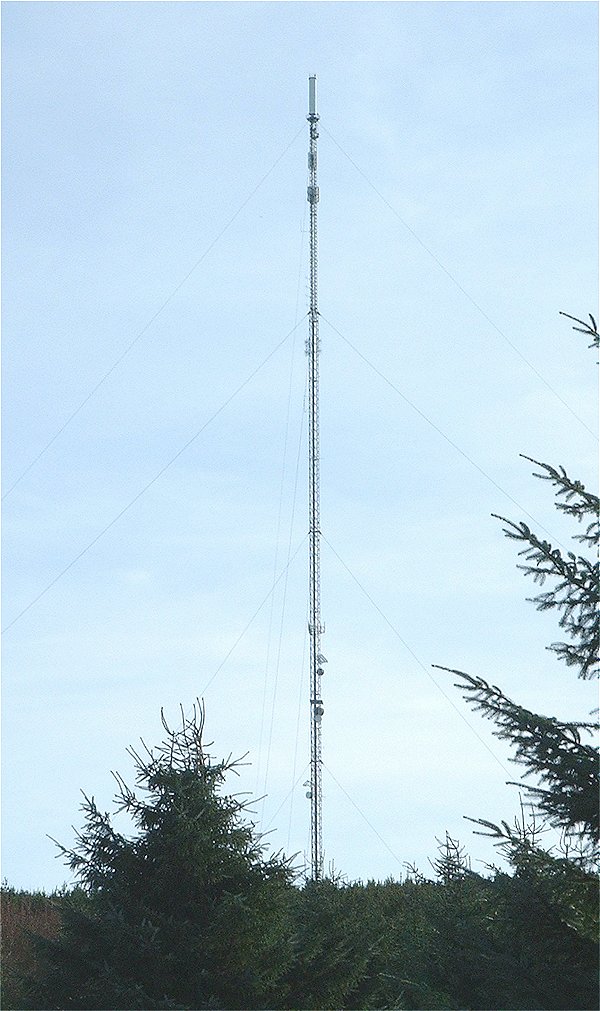
Durris transmitting station
The Durris transmitting station is a broadcasting and telecommunications facility, situated close to the town of Stonehaven, within Durris Forest, within...
Cryne Corse Mounth
Cryne Corse Mounth is an old droving road which ran south across the high ground from the Dee valley in Aberdeenshire, eastern Scotland. Much of the route...
Nearby Amenities
Located within 500m of 56.989905,-2.4596478Have you been to Shillofad?
Leave your review of Shillofad below (or comments, questions and feedback).