Bury Hill

Hill, Mountain in Gloucestershire

England

Bury Hill

Entrance to Hall End Farm Farm track off Limekiln Road.
Entrance to Hall End Farm Credit: Wayland Smith

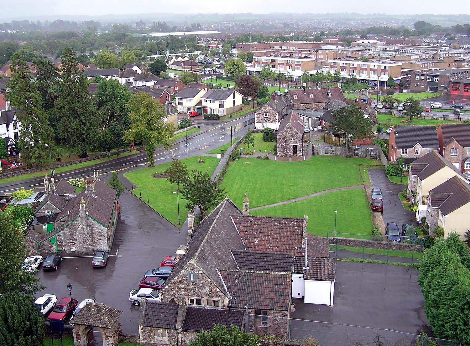
Bury Hill is a prominent hill located in the county of Gloucestershire, England. Situated in the Cotswolds, a designated Area of Outstanding Natural Beauty, Bury Hill offers breathtaking views and stands as a popular attraction for residents and tourists alike.

Rising to an elevation of approximately 433 meters (1,421 feet), Bury Hill is considered one of the highest points in the region. Its summit provides a panoramic vista of the surrounding countryside, with glimpses of rolling hills, quaint villages, and vast open fields. On a clear day, it is even possible to see as far as the Severn Estuary and the Welsh Mountains.

The hill itself is predominantly covered in grass and patches of heather, creating a picturesque landscape that changes with the seasons. It is also home to an array of flora and fauna, including wildflowers and various bird species, making it a haven for nature enthusiasts.

Access to Bury Hill is convenient, with several footpaths and trails leading to its summit. Hikers, walkers, and outdoor enthusiasts can explore the hill's beauty by embarking on the well-marked paths that wind through the surrounding countryside. These routes cater to different skill levels, ensuring that there is something for everyone.

Historically, Bury Hill has been cherished by locals for its natural beauty and has served as a source of inspiration for artists and writers. Its tranquil ambiance and unspoiled environment make it an idyllic spot for relaxation, picnicking, and enjoying the great outdoors.

Overall, Bury Hill in Gloucestershire is a stunning natural feature that encapsulates the charm and allure of the Cotswolds. It offers visitors a chance to immerse themselves in the beauty of the English countryside while enjoying breathtaking views from its summit.

If you have any feedback on the listing, please let us know in the comments section below.
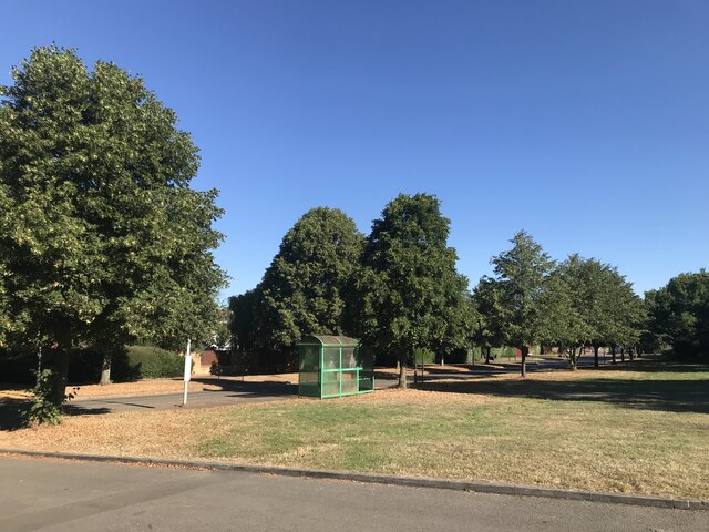
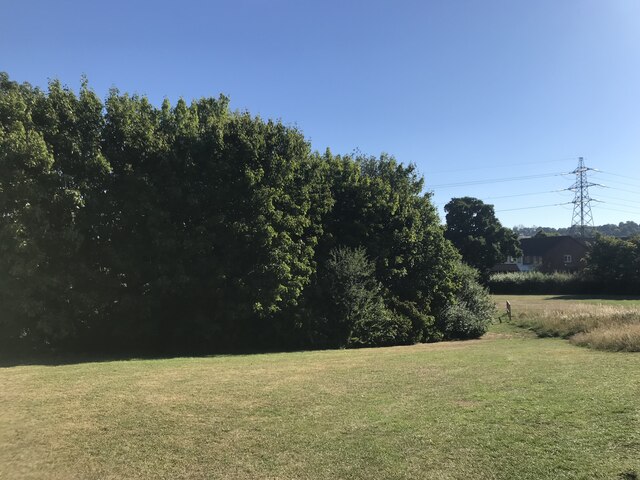
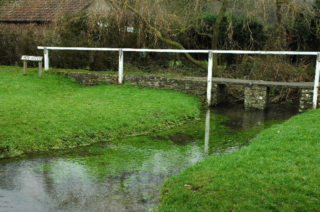
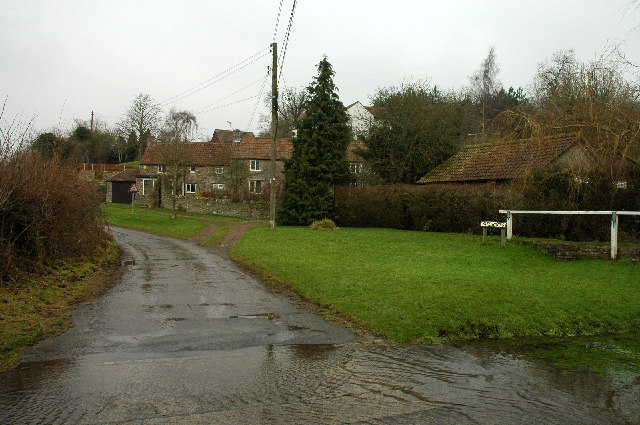
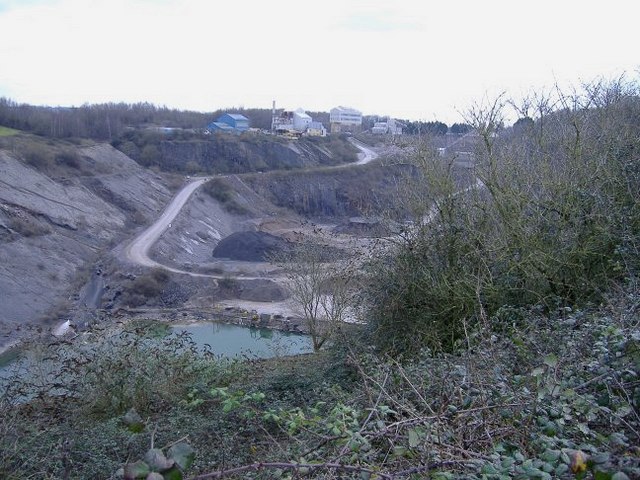
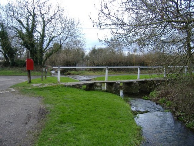
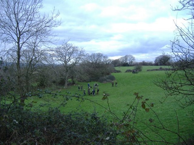
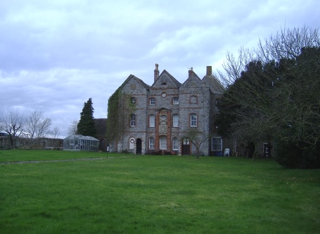
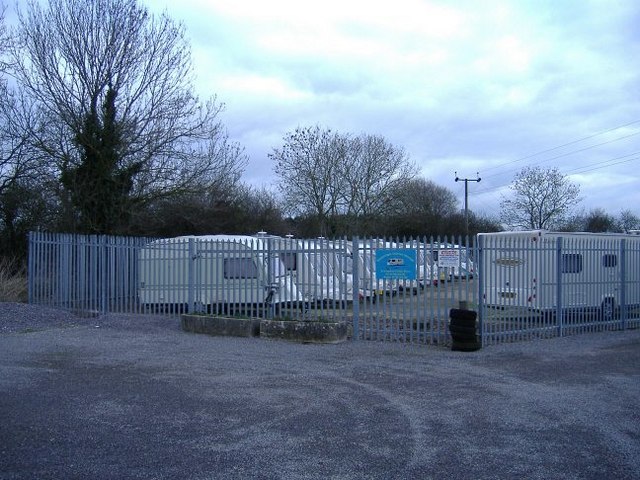
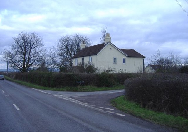
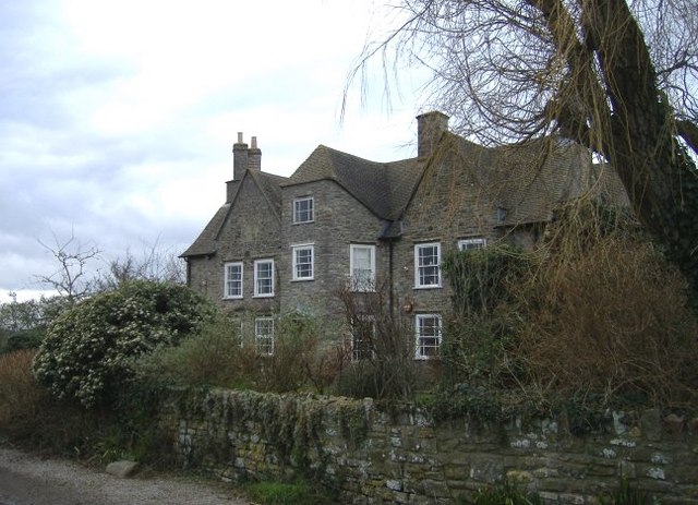
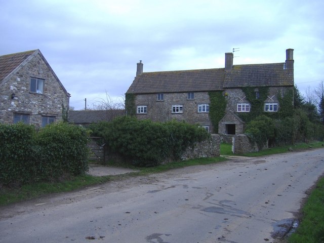
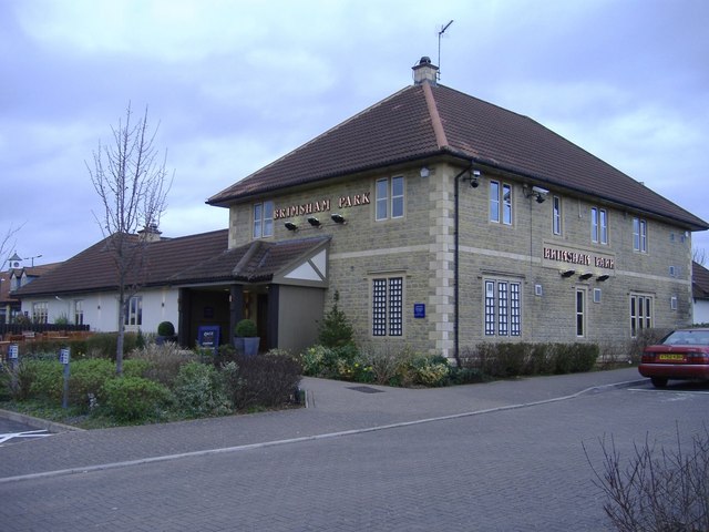
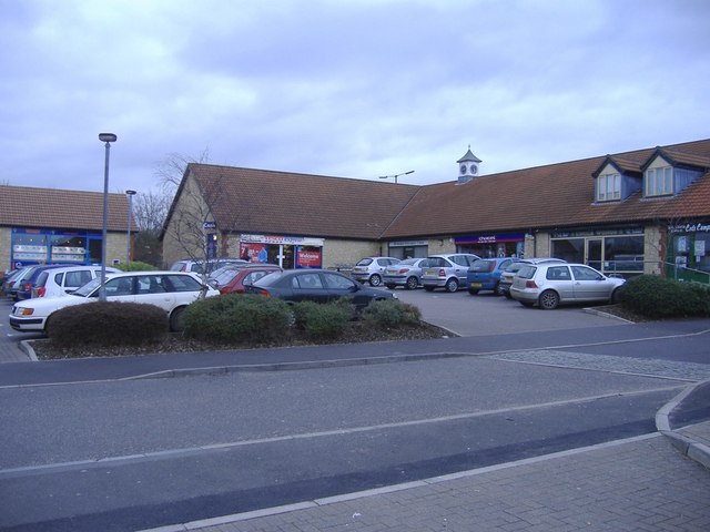
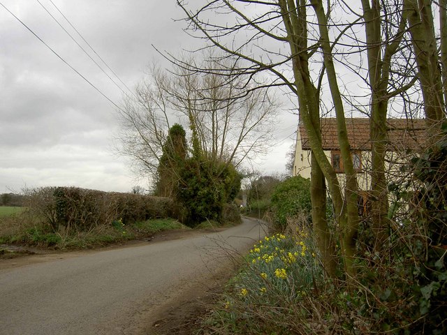
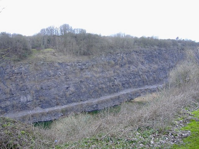
Bury Hill Images

Images are sourced within 2km of 51.566548/-2.405284 or Grid Reference ST7285. Thanks to Geograph Open Source API. All images are credited.

Entrance to Hall End Farm Farm track off Limekiln Road.
Entrance to Hall End Farm
Farm track off Limekiln Road.
Tanhouse Lane Road junction at Leechpool.
Tanhouse Lane
Road junction at Leechpool.
Green near Millside
Green near Millside
Open space near Stone Mill
Engine Common Lane House on Engine Common Lane. The footpath entrance is by the fence.
Engine Common Lane
House on Engine Common Lane. The footpath entrance is by the fence.
Yate Rocks Yate Rocks is a small hamlet just outside the town of Yate.  The main feature is an old stone footbridge and a ford.  Yate was the site of the first out of town shopping centre.
Yate Rocks
Yate Rocks is a small hamlet just outside the town of Yate. The main feature is an old stone footbridge and a ford. Yate was the site of the first out of town shopping centre.
The ford at Yate Rocks There are no rocks at Yate Rocks.  The main feature being this ford and an old stone footbridge.
The ford at Yate Rocks
There are no rocks at Yate Rocks. The main feature being this ford and an old stone footbridge.
Southfields Quarry Situated between chipping Sodbury and Wickwar, this quarry (owned by Hanson), is now worked out, but houses the plant, used to process limestone chippings from new workings on the other side of the B4060.
Southfields Quarry
Situated between chipping Sodbury and Wickwar, this quarry (owned by Hanson), is now worked out, but houses the plant, used to process limestone chippings from new workings on the other side of the B4060.
Footbridge and ford From an easterly direction.
Footbridge and ford
From an easterly direction.
Shooting party at Bury Hill Guns and beaters discuss tactics.
Shooting party at Bury Hill
Guns and beaters discuss tactics.
Oxwick farm The farmhouse is at the centre of a group of huge dilapidated buildings.
Oxwick farm
The farmhouse is at the centre of a group of huge dilapidated buildings.
Mapleridge caravan storage Rural business diversification.
Mapleridge caravan storage
Rural business diversification.
Pincots Lane This isolated house stands at the junction with the B4060.
Pincots Lane
This isolated house stands at the junction with the B4060.
Frith farm One of several huge stone farmhouses, in this area.
Frith farm
One of several huge stone farmhouses, in this area.
Railway line to Gloucester from Bristol This view shows the line on its way to Gloucester. The image was obtained from just to the east of a road bridge over the railway.
Railway line to Gloucester from Bristol
This view shows the line on its way to Gloucester. The image was obtained from just to the east of a road bridge over the railway.
Leechpool Farm On Tankhouse Lane, near Yate Rocks.
Leechpool Farm
On Tankhouse Lane, near Yate Rocks.
The Brinsham Park, Yate
Local shops, Brinsham
Show me another place!

Bury Hill is located at Grid Ref: ST7285 (Lat: 51.566548, Lng: -2.405284)

Unitary Authority: South Gloucestershire

Police Authority: Avon and Somerset

What 3 Words

///living.cook.surprises. Near Wickwar, Gloucestershire

Related Wikis

Brimsham Green School

Brimsham Green School is a comprehensive secondary school in Yate, South Gloucestershire, England. Situated toward the northern edge of Yate and serving...

Bishop's Hill Wood

Bishop's Hill Wood (grid reference ST733873) is a 30.6 hectares (76 acres) biological Site of Special Scientific Interest (SSSI) in England. It lies just...

Engine Common

Engine Common is a village in the civil parish of Iron Acton in South Gloucestershire, England. It lies about 1 mile north west of Yate. == References... ==

Barnhill Quarry

Barnhill Quarry (grid reference ST725827) is a 3.1 hectare geological Site of Special Scientific Interest near Chipping Sodbury, South Gloucestershire...

Chipping Sodbury Town F.C.

Chipping Sodbury Town Football Club is a football club based in Chipping Sodbury, South Gloucestershire, England. They are currently members of the Hellenic...

Yate

Yate is a town and civil parish in South Gloucestershire, England. It lies just to the southwest of the Cotswold Hills and is 12 miles (19 kilometres)...

Yate Town F.C.

Yate Town Football Club is a football club based in Yate, Gloucestershire, England. They are currently members of the Southern League Division One South...

Rangeworthy

Rangeworthy is a semi-rural farming village in South Gloucestershire, England, nearby communities include Falfield and Charfield. The village population...

Nearby Amenities

Located within 500m of 51.566548,-2.405284
Power: tower
Source: Bing
Lat/Long: 51.5666755/-2.4114478
Power: tower
Source: Bing
Lat/Long: 51.5658304/-2.4017772
Power: tower
Source: Bing
Lat/Long: 51.5661517/-2.4055966
Power: tower
Lat/Long: 51.5678801/-2.4120479
Addr Street: Oxwick Lane
Generator Method: wind_turbine
Generator Source: wind
Generator Type: horizontal_axis
Power: generator
Start Date: 2012
Lat/Long: 51.5708627/-2.4063282
Design: h-frame
Power: tower
Lat/Long: 51.5655515/-2.4115854
Power: pole
Lat/Long: 51.5647263/-2.4114963
Physio Help 4 You
Addr City: Yate Rocks
Addr Country: GB
Addr Housename: Spring House
Addr Postcode: BS37 7QN
Addr Street: Bury Hill Lane
Healthcare: physiotherapist
Healthcare Speciality: sports_massage
Opening Hours: Mo-Fr 08:00-20:00; Sa 10:00-14:00; Su off
Operator: Maggie Mugglestone
Phone: +44 7514 432260
Website: https://physiohelp4you.com
Lat/Long: 51.5685285/-2.4049385
Barrier: stile
Foot: yes
Material: wood
Stile: stepover
Lat/Long: 51.5700875/-2.4074941
Barrier: kissing_gate
Foot: yes
Material: metal
Lat/Long: 51.567606/-2.4071813
Barrier: kissing_gate
Material: metal
Lat/Long: 51.5658132/-2.4105964
Barrier: stile
Material: wood
Lat/Long: 51.5660587/-2.4108342
Barrier: kissing_gate
Lat/Long: 51.5658779/-2.4107407
The data included in this document is from www.openstreetmap.org. The data is made available under ODbL.

Have you been to Bury Hill?

Leave your review of Bury Hill below (or comments, questions and feedback).