Standridge Hill
Hill, Mountain in Yorkshire Ribble Valley
England
Standridge Hill

Standridge Hill is a prominent geographical feature located in Yorkshire, England. Situated in the southern part of the county, it is known for its picturesque landscape and commanding views of the surrounding area. While not classified as a mountain, it is often referred to as Standridge Mountain due to its impressive elevation.
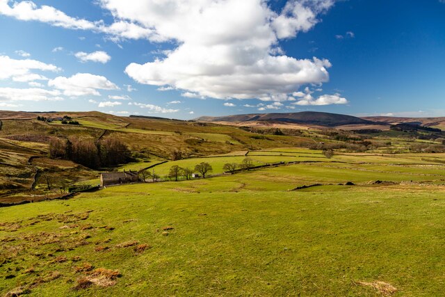
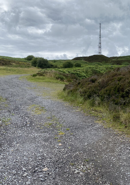
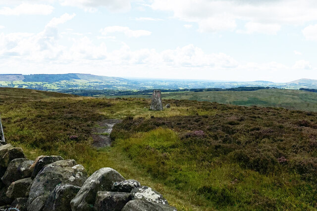
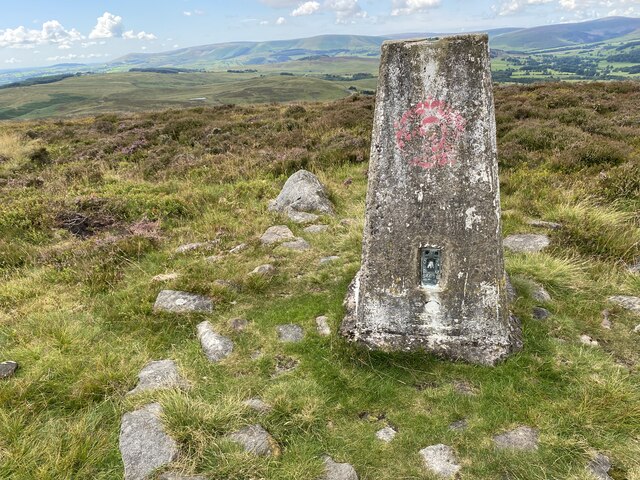
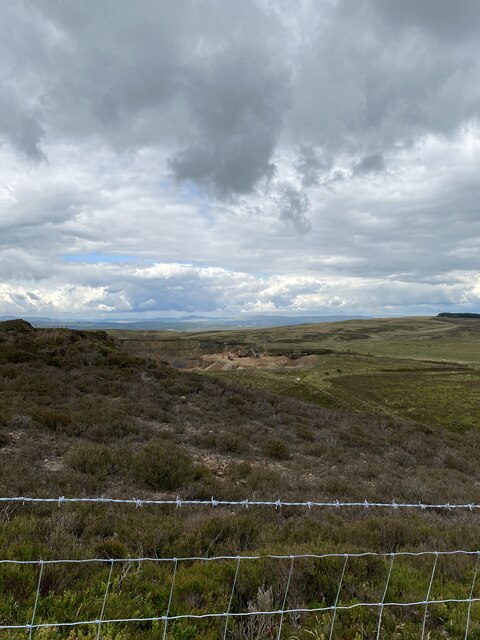
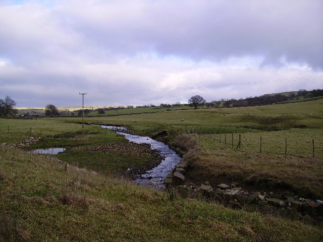
Reaching a height of approximately 400 meters (1,312 feet), Standridge Hill provides a challenging yet rewarding hike for outdoor enthusiasts. The ascent to the summit is characterized by rugged terrain, with rocky outcrops and steep slopes. Once at the top, visitors are rewarded with breathtaking panoramic views of the rolling hills, meandering rivers, and picturesque villages that dot the Yorkshire countryside.
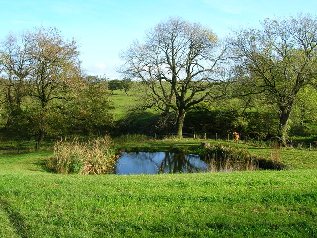
The hill is adorned with a variety of vegetation, including heather, grasses, and scattered woodland, adding to its natural beauty. It also serves as a habitat for numerous wildlife species, such as birds of prey, including kestrels and buzzards, as well as smaller mammals like rabbits and hares.
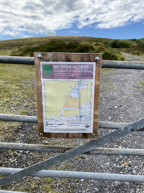
Standridge Hill has become a popular destination for hikers, nature lovers, and photographers alike. Its accessibility from nearby towns and villages makes it a convenient choice for a day trip or weekend getaway. In addition to its natural allure, the hill also holds historical significance, with remnants of ancient settlements and burial sites dating back centuries.
Overall, Standridge Hill offers a captivating blend of natural beauty, challenging terrain, and cultural heritage, making it a must-visit location for anyone exploring the Yorkshire region.
If you have any feedback on the listing, please let us know in the comments section below.
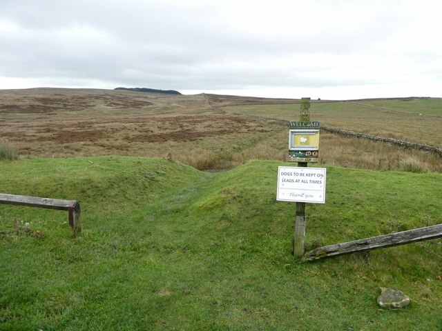
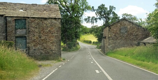
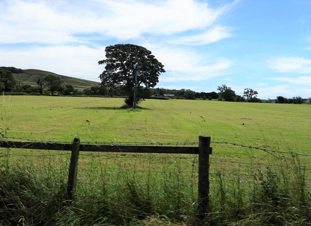
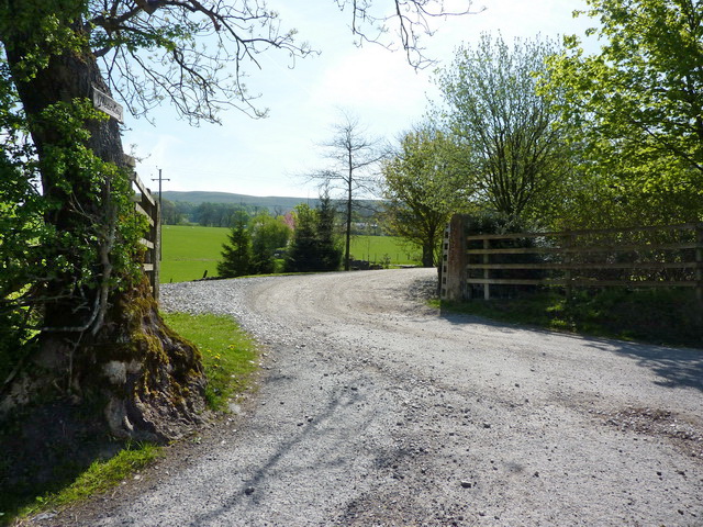
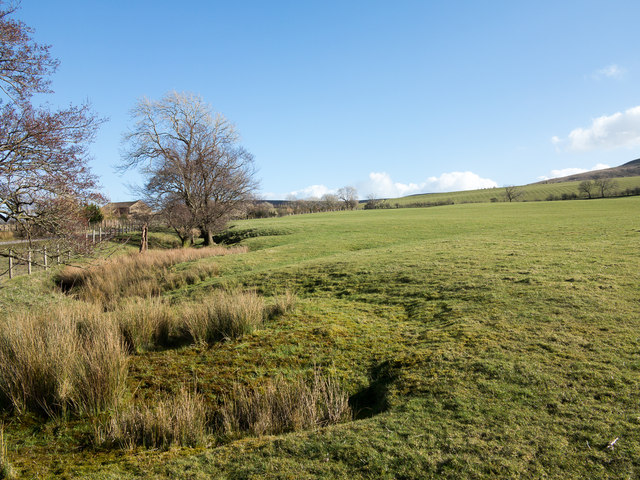
Standridge Hill Images
Images are sourced within 2km of 53.934476/-2.4279791 or Grid Reference SD7148. Thanks to Geograph Open Source API. All images are credited.


Standridge Hill is located at Grid Ref: SD7148 (Lat: 53.934476, Lng: -2.4279791)
Division: West Riding
Administrative County: Lancashire
District: Ribble Valley
Police Authority: Lancashire
What 3 Words
///global.youths.airstrip. Near Waddington, Lancashire
Nearby Locations
Related Wikis

Easington Fell
Easington Fell is a Marilyn in the Forest of Bowland in Lancashire, England. It has been surveyed to be 70 cm higher than a nearby fell of almost identical...

Newton-in-Bowland
Newton or Newton-in-Bowland is a village and civil parish in the Ribble Valley district, in the county of Lancashire, England, formerly known as Newton...

St Andrew's Church, Slaidburn
St Andrew's Church is in Church Street, Slaidburn, Lancashire, England. It is an active Anglican parish church in the deanery of Bowland, the archdeaconry...

Slaidburn
Slaidburn () is a village and civil parish within the Ribble Valley district of Lancashire, England. The parish covers just over 5,000 acres of the Forest...
Nearby Amenities
Located within 500m of 53.934476,-2.4279791Have you been to Standridge Hill?
Leave your review of Standridge Hill below (or comments, questions and feedback).