Brinsham Wood

Wood, Forest in Gloucestershire

England

Brinsham Wood

Yate Rocks Yate Rocks is a small hamlet just outside the town of Yate.  The main feature is an old stone footbridge and a ford.  Yate was the site of the first out of town shopping centre.
Yate Rocks Credit: Dave and Vicky

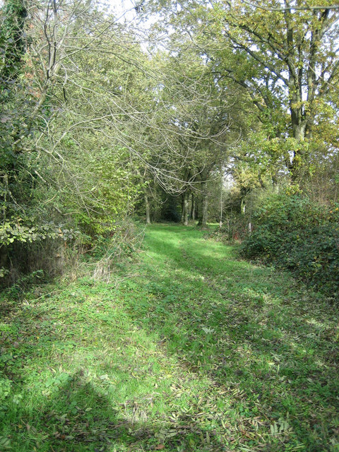
Brinsham Wood is a picturesque woodland located in Gloucestershire, England. Covering an area of approximately 400 acres, this ancient forest is nestled between the towns of Yate and Chipping Sodbury. The wood is predominantly made up of broadleaf trees, including oak, beech, and ash, creating a diverse and vibrant ecosystem.

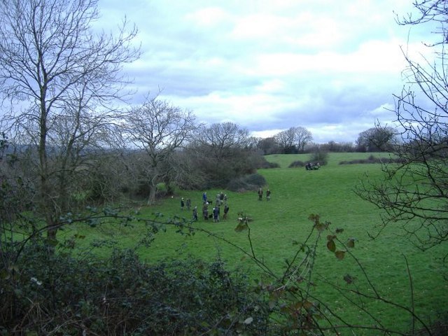
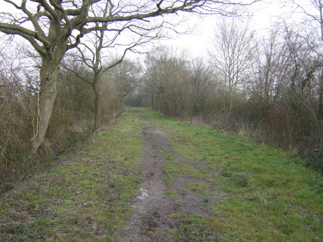
Renowned for its natural beauty and tranquility, Brinsham Wood offers visitors a peaceful retreat from the bustling urban life. The forest is crisscrossed with a network of well-maintained footpaths and trails, making it an ideal location for leisurely walks, hiking, and nature exploration. These paths wind through the dense woodland, allowing visitors to immerse themselves in the sights and sounds of nature.

Due to its rich biodiversity, Brinsham Wood is a haven for wildlife. The forest provides a natural habitat for numerous bird species, including woodpeckers, nightingales, and tawny owls, making it a popular spot for birdwatching enthusiasts. Additionally, the woodland is home to various mammals such as deer, foxes, and squirrels, adding to the enchanting atmosphere of the area.

Brinsham Wood is managed by the Forestry Commission, ensuring the preservation of its natural beauty and ecological significance. The forest is open to the public year-round, with ample parking facilities and picnic areas available. Whether one seeks a peaceful walk, a chance to connect with nature, or simply a break from the urban landscape, Brinsham Wood provides an idyllic setting for all.

If you have any feedback on the listing, please let us know in the comments section below.

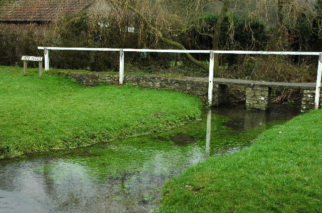
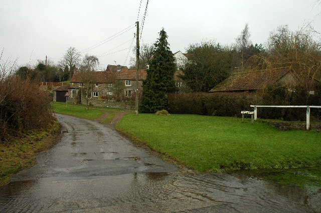
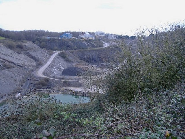
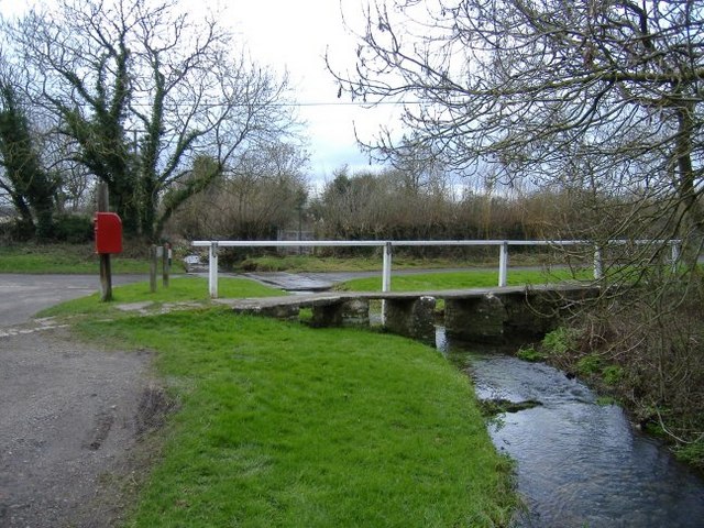
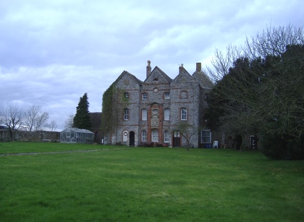
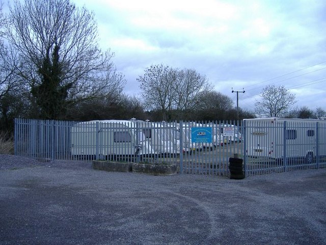
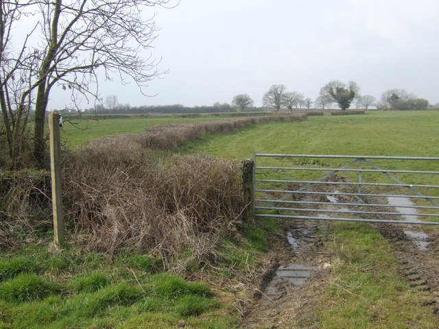
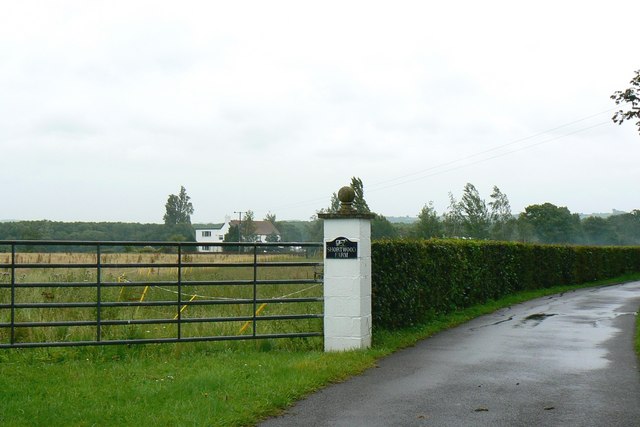
Brinsham Wood Images

Images are sourced within 2km of 51.565353/-2.3917266 or Grid Reference ST7285. Thanks to Geograph Open Source API. All images are credited.

Yate Rocks Yate Rocks is a small hamlet just outside the town of Yate.  The main feature is an old stone footbridge and a ford.  Yate was the site of the first out of town shopping centre.
Yate Rocks
Yate Rocks is a small hamlet just outside the town of Yate. The main feature is an old stone footbridge and a ford. Yate was the site of the first out of town shopping centre.
The ford at Yate Rocks There are no rocks at Yate Rocks.  The main feature being this ford and an old stone footbridge.
The ford at Yate Rocks
There are no rocks at Yate Rocks. The main feature being this ford and an old stone footbridge.
Chipping Sodbury Golf Course The Golf Course was established in 1905 and now covers 104 acres.  There are two courses, the Wissan Course and the Beaufort Course
Chipping Sodbury Golf Course
The Golf Course was established in 1905 and now covers 104 acres. There are two courses, the Wissan Course and the Beaufort Course
Footpath This footpath, east of Horton near Chipping Sodbury links Little Sodbury End to Horton Bushes
Footpath
This footpath, east of Horton near Chipping Sodbury links Little Sodbury End to Horton Bushes
Southfields Quarry Situated between chipping Sodbury and Wickwar, this quarry (owned by Hanson), is now worked out, but houses the plant, used to process limestone chippings from new workings on the other side of the B4060.
Southfields Quarry
Situated between chipping Sodbury and Wickwar, this quarry (owned by Hanson), is now worked out, but houses the plant, used to process limestone chippings from new workings on the other side of the B4060.
Footbridge and ford From an easterly direction.
Footbridge and ford
From an easterly direction.
Shooting party at Bury Hill Guns and beaters discuss tactics.
Shooting party at Bury Hill
Guns and beaters discuss tactics.
Oxwick farm The farmhouse is at the centre of a group of huge dilapidated buildings.
Oxwick farm
The farmhouse is at the centre of a group of huge dilapidated buildings.
Mapleridge caravan storage Rural business diversification.
Mapleridge caravan storage
Rural business diversification.
Footpath off Vinney Lane Heading West towards Springfield Farm.
Footpath off Vinney Lane
Heading West towards Springfield Farm.
Over the fields to Sodbury Common The footpath appears the stop dead in the middle of this gridsquare on 1:50,000 scale map, but in fact reaches the common land with freedom to roam. The RTR areas have not reached the smaller scale OS maps yet!
Over the fields to Sodbury Common
The footpath appears the stop dead in the middle of this gridsquare on 1:50,000 scale map, but in fact reaches the common land with freedom to roam. The RTR areas have not reached the smaller scale OS maps yet!
Bridleway north from Mapleridge Lane Good walking country this with woodland and common land and a fine network of paths. Lowland moor is more than a little damp!
Bridleway north from Mapleridge Lane
Good walking country this with woodland and common land and a fine network of paths. Lowland moor is more than a little damp!
Pincots Farm A relatively new but clearly infrequently-used drive directly to the farm from the B4060 Sodbury Road. A footpath feeds off to the right across an uninviting ploughed field.
Pincots Farm
A relatively new but clearly infrequently-used drive directly to the farm from the B4060 Sodbury Road. A footpath feeds off to the right across an uninviting ploughed field.
Hillhouse Farm, Hall End Viewed from a footpath which follows the fenceline visible in the centre of the image.
Hillhouse Farm, Hall End
Viewed from a footpath which follows the fenceline visible in the centre of the image.
Shortwood Farm, near Wickwar The farm is visible in the background. The metalled driveway leading off to the right is private from the gatepost on. There is a public footpath on the other side of the gate to the left of the image.
Shortwood Farm, near Wickwar
The farm is visible in the background. The metalled driveway leading off to the right is private from the gatepost on. There is a public footpath on the other side of the gate to the left of the image.
Mapleridge Lane Linking Horton to Wickwar.
Mapleridge Lane
Linking Horton to Wickwar.
Road and bridleway to Hillhouse Farm
Gate and footpath off Tanhouse Lane
Show me another place!

Brinsham Wood is located at Grid Ref: ST7285 (Lat: 51.565353, Lng: -2.3917266)

Unitary Authority: South Gloucestershire

Police Authority: Avon and Somerset

What 3 Words

///paying.idealist.womanly. Near Horton, Gloucestershire

Related Wikis

Bishop's Hill Wood

Bishop's Hill Wood (grid reference ST733873) is a 30.6 hectares (76 acres) biological Site of Special Scientific Interest (SSSI) in England. It lies just...

Chipping Sodbury Town F.C.

Chipping Sodbury Town Football Club is a football club based in Chipping Sodbury, South Gloucestershire, England. They are currently members of the Hellenic...
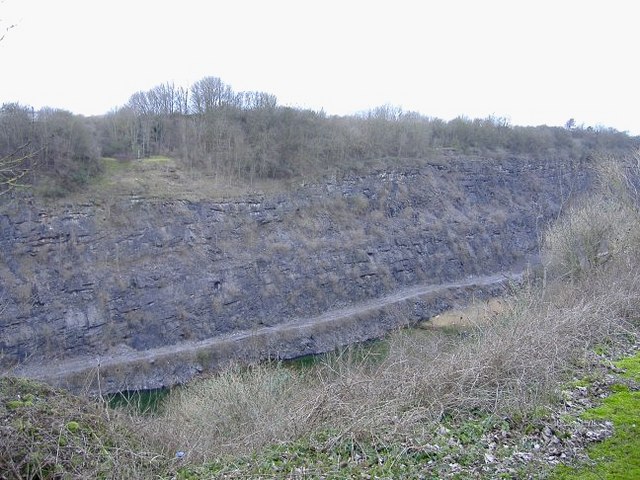
Barnhill Quarry

Barnhill Quarry (grid reference ST725827) is a 3.1 hectare geological Site of Special Scientific Interest near Chipping Sodbury, South Gloucestershire...

Lower Woods

Lower Woods (grid reference ST743876) is a 280.1-hectare (692-acre) biological and geological Site of Special Scientific Interest near the village of Wickwar...

Nearby Amenities

Located within 500m of 51.565353,-2.3917266
Power: tower
Source: Bing
Lat/Long: 51.5653608/-2.3967053
Power: tower
Source: Bing
Lat/Long: 51.5648732/-2.3910269
Power: tower
Source: Bing
Lat/Long: 51.5644077/-2.385785
Little Wood Caravan Park
Addr City: Yate
Addr Street: Mapleridge Lane
Phone: +44 1454 294544
Tourism: camp_site
Lat/Long: 51.5680606/-2.3950915
The Chase Airstrip
Addr City: Yate
Aeroway: aerodrome
Lat/Long: 51.5679933/-2.3871047
The data included in this document is from www.openstreetmap.org. The data is made available under ODbL.

Have you been to Brinsham Wood?

Leave your review of Brinsham Wood below (or comments, questions and feedback).