Little Wood

Wood, Forest in Gloucestershire

England

Little Wood

Tanhouse Lane Road junction at Leechpool.
Tanhouse Lane Credit: Wayland Smith

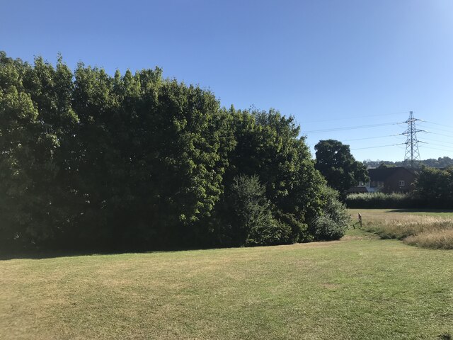
Little Wood is a small village located in the county of Gloucestershire, England. Situated within the scenic Forest of Dean, it is surrounded by lush greenery and offers a peaceful retreat for residents and visitors alike. The village is nestled amongst tall trees and is known for its idyllic setting and charming rural atmosphere.

The village itself is quite small, with a population of around 500 inhabitants. It mainly consists of traditional cottages and houses, adding to its quaint and picturesque appeal. The community is close-knit, and residents take pride in maintaining the village's natural beauty and preserving its historical character.

Little Wood is blessed with an abundance of natural attractions. The Forest of Dean, which stretches for miles around the village, provides ample opportunities for outdoor activities such as hiking, cycling, and wildlife spotting. The area is also home to several ancient woodlands, including Puzzlewood, renowned for its mystical appearance and unique rock formations.

Despite its rural setting, Little Wood is well-connected to nearby towns and cities. The village is situated just a short drive away from the town of Coleford, where residents can find amenities such as shops, schools, and healthcare facilities. The city of Gloucester is also within easy reach, offering a wider range of services and entertainment options.

In summary, Little Wood is a charming village located in the heart of the Forest of Dean. With its natural beauty, friendly community, and proximity to larger towns, it provides a delightful place to live or visit for those seeking a peaceful and picturesque retreat.

If you have any feedback on the listing, please let us know in the comments section below.
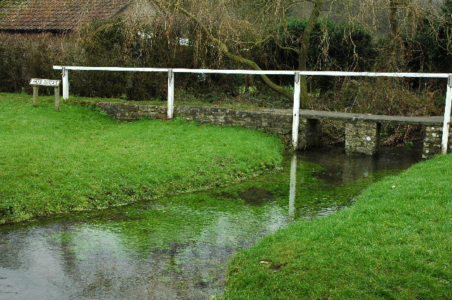
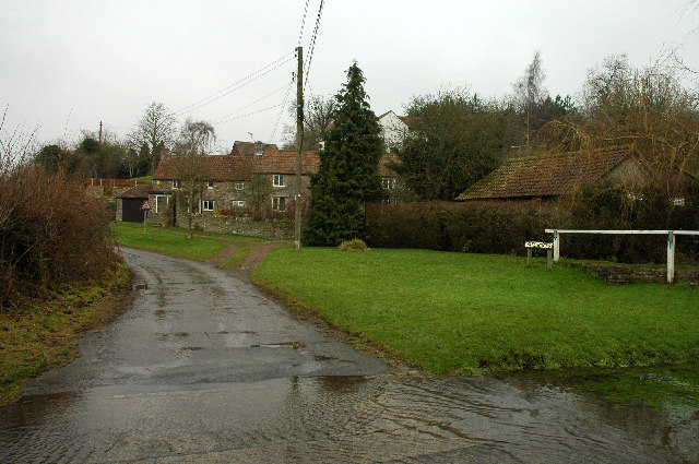
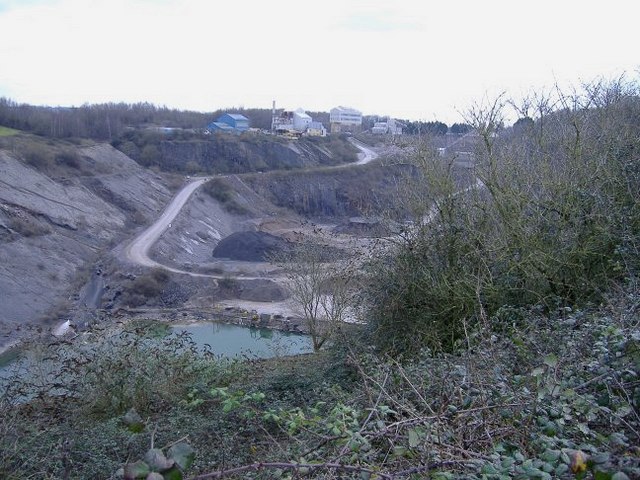
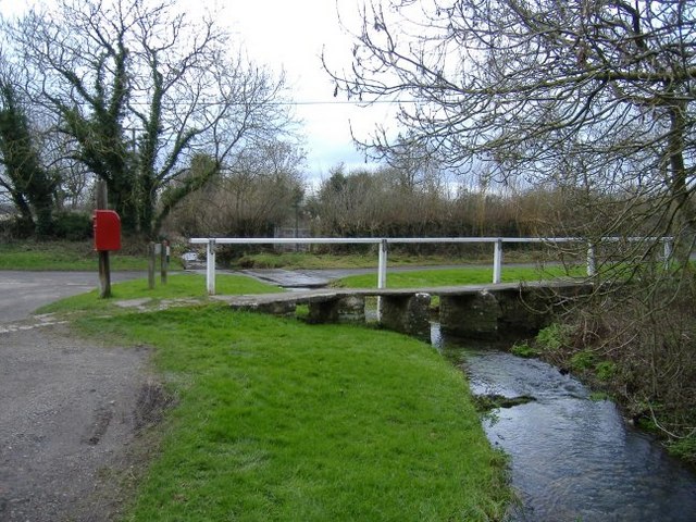
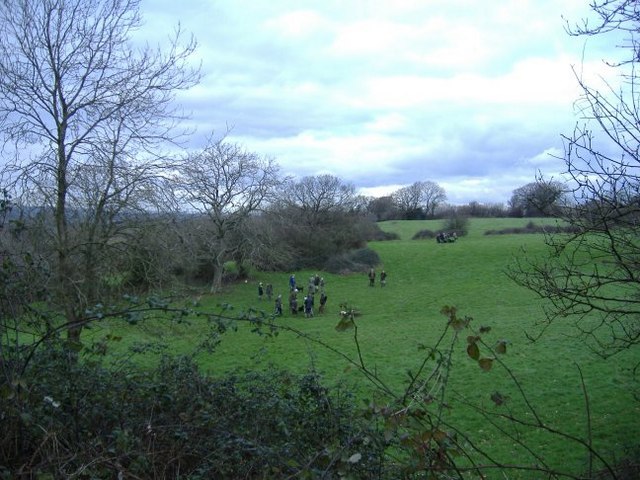
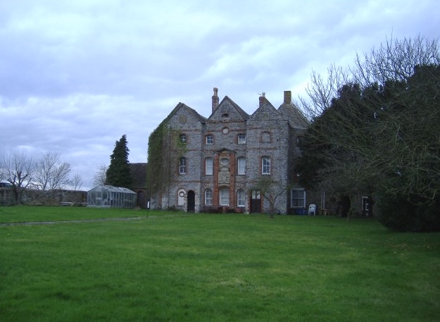
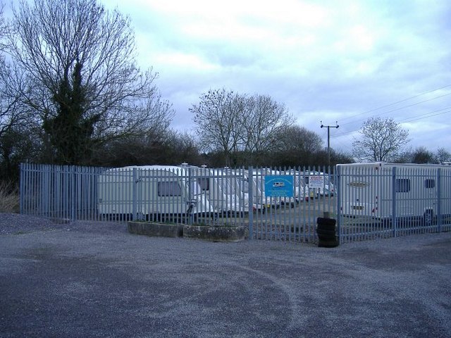
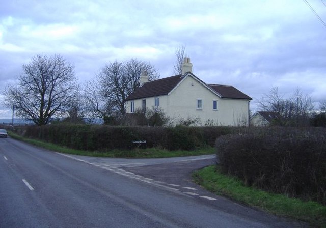
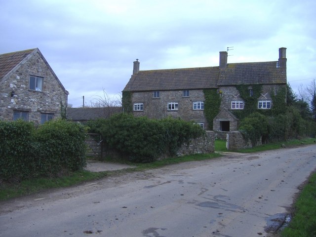
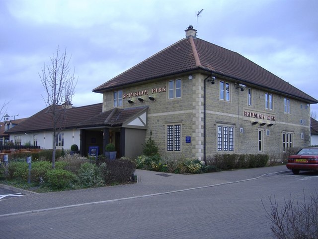
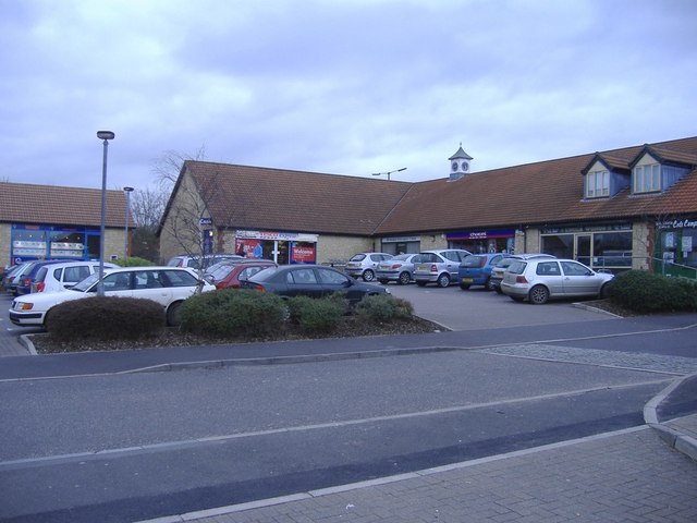
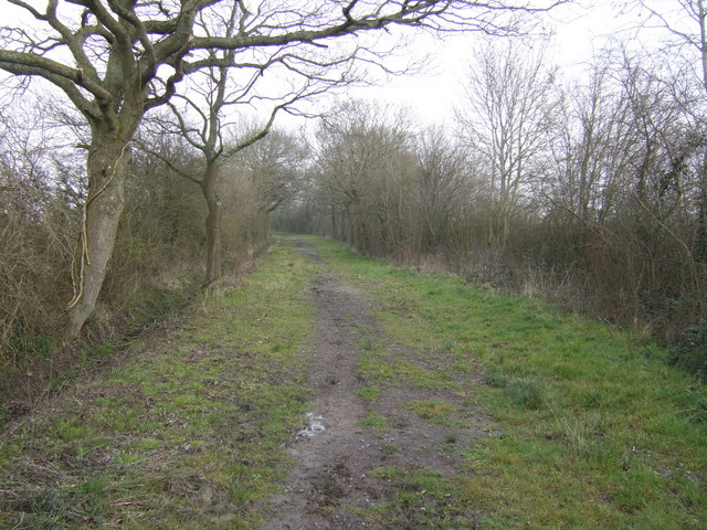
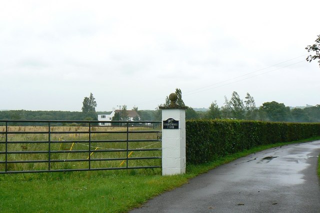
Little Wood Images

Images are sourced within 2km of 51.566666/-2.3971625 or Grid Reference ST7285. Thanks to Geograph Open Source API. All images are credited.

Tanhouse Lane Road junction at Leechpool.
Tanhouse Lane
Road junction at Leechpool.
Open space near Stone Mill
Yate Rocks Yate Rocks is a small hamlet just outside the town of Yate.  The main feature is an old stone footbridge and a ford.  Yate was the site of the first out of town shopping centre.
Yate Rocks
Yate Rocks is a small hamlet just outside the town of Yate. The main feature is an old stone footbridge and a ford. Yate was the site of the first out of town shopping centre.
The ford at Yate Rocks There are no rocks at Yate Rocks.  The main feature being this ford and an old stone footbridge.
The ford at Yate Rocks
There are no rocks at Yate Rocks. The main feature being this ford and an old stone footbridge.
Southfields Quarry Situated between chipping Sodbury and Wickwar, this quarry (owned by Hanson), is now worked out, but houses the plant, used to process limestone chippings from new workings on the other side of the B4060.
Southfields Quarry
Situated between chipping Sodbury and Wickwar, this quarry (owned by Hanson), is now worked out, but houses the plant, used to process limestone chippings from new workings on the other side of the B4060.
Footbridge and ford From an easterly direction.
Footbridge and ford
From an easterly direction.
Shooting party at Bury Hill Guns and beaters discuss tactics.
Shooting party at Bury Hill
Guns and beaters discuss tactics.
Oxwick farm The farmhouse is at the centre of a group of huge dilapidated buildings.
Oxwick farm
The farmhouse is at the centre of a group of huge dilapidated buildings.
Mapleridge caravan storage Rural business diversification.
Mapleridge caravan storage
Rural business diversification.
Pincots Lane This isolated house stands at the junction with the B4060.
Pincots Lane
This isolated house stands at the junction with the B4060.
Leechpool Farm On Tankhouse Lane, near Yate Rocks.
Leechpool Farm
On Tankhouse Lane, near Yate Rocks.
The Brinsham Park, Yate
Local shops, Brinsham
Over the fields to Sodbury Common The footpath appears the stop dead in the middle of this gridsquare on 1:50,000 scale map, but in fact reaches the common land with freedom to roam. The RTR areas have not reached the smaller scale OS maps yet!
Over the fields to Sodbury Common
The footpath appears the stop dead in the middle of this gridsquare on 1:50,000 scale map, but in fact reaches the common land with freedom to roam. The RTR areas have not reached the smaller scale OS maps yet!
Bridleway north from Mapleridge Lane Good walking country this with woodland and common land and a fine network of paths. Lowland moor is more than a little damp!
Bridleway north from Mapleridge Lane
Good walking country this with woodland and common land and a fine network of paths. Lowland moor is more than a little damp!
Pincots Farm A relatively new but clearly infrequently-used drive directly to the farm from the B4060 Sodbury Road. A footpath feeds off to the right across an uninviting ploughed field.
Pincots Farm
A relatively new but clearly infrequently-used drive directly to the farm from the B4060 Sodbury Road. A footpath feeds off to the right across an uninviting ploughed field.
Hillhouse Farm, Hall End Viewed from a footpath which follows the fenceline visible in the centre of the image.
Hillhouse Farm, Hall End
Viewed from a footpath which follows the fenceline visible in the centre of the image.
Shortwood Farm, near Wickwar The farm is visible in the background. The metalled driveway leading off to the right is private from the gatepost on. There is a public footpath on the other side of the gate to the left of the image.
Shortwood Farm, near Wickwar
The farm is visible in the background. The metalled driveway leading off to the right is private from the gatepost on. There is a public footpath on the other side of the gate to the left of the image.
Show me another place!

Little Wood is located at Grid Ref: ST7285 (Lat: 51.566666, Lng: -2.3971625)

Unitary Authority: South Gloucestershire

Police Authority: Avon and Somerset

What 3 Words

///loudness.tides.bootleg. Near Wickwar, Gloucestershire

Related Wikis

Bishop's Hill Wood

Bishop's Hill Wood (grid reference ST733873) is a 30.6 hectares (76 acres) biological Site of Special Scientific Interest (SSSI) in England. It lies just...

Brimsham Green School

Brimsham Green School is a comprehensive secondary school in Yate, South Gloucestershire, England. Situated toward the northern edge of Yate and serving...

Chipping Sodbury Town F.C.

Chipping Sodbury Town Football Club is a football club based in Chipping Sodbury, South Gloucestershire, England. They are currently members of the Hellenic...
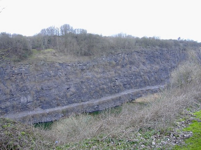
Barnhill Quarry

Barnhill Quarry (grid reference ST725827) is a 3.1 hectare geological Site of Special Scientific Interest near Chipping Sodbury, South Gloucestershire...

Nearby Amenities

Located within 500m of 51.566666,-2.3971625
Power: tower
Source: Bing
Lat/Long: 51.5653608/-2.3967053
Power: tower
Source: Bing
Lat/Long: 51.5648732/-2.3910269
Power: tower
Source: Bing
Lat/Long: 51.5658304/-2.4017772
Little Wood Caravan Park
Addr City: Yate
Addr Street: Mapleridge Lane
Phone: +44 1454 294544
Tourism: camp_site
Lat/Long: 51.5680606/-2.3950915
The data included in this document is from www.openstreetmap.org. The data is made available under ODbL.

Have you been to Little Wood?

Leave your review of Little Wood below (or comments, questions and feedback).