Wick's Hill

Hill, Mountain in Gloucestershire

England

Wick's Hill

Entrance drive to Tortworth Court Hotel
Entrance drive to Tortworth Court Hotel Credit: Gareth James

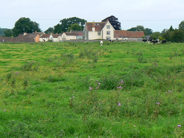
Wick's Hill is a prominent geographical feature located in the county of Gloucestershire, England. Rising to an elevation of approximately 194 meters (636 feet), it is classified as a hill rather than a mountain due to its relatively moderate height. Situated near the charming village of Wickwar, Wick's Hill offers breathtaking panoramic views of the surrounding countryside.

The hill is primarily composed of sedimentary rocks, with a distinct layered appearance. Its slopes are covered in a mix of lush green grasses, wildflowers, and scattered trees, adding to its picturesque allure. The diverse flora and fauna found on Wick's Hill make it an ideal spot for nature enthusiasts and hikers, who can explore the various trails that traverse the area.

At the summit of Wick's Hill, visitors are rewarded with an unparalleled vista of the rolling Gloucestershire landscape. On clear days, it is possible to see the distant outlines of other natural landmarks, such as the Cotswold Hills and the Severn Estuary. The hill's strategic location also makes it a popular spot for paragliding and hang gliding, as the prevailing wind conditions are favorable for these activities.

Wick's Hill holds historical significance, with evidence of Iron Age settlements found in the vicinity. Additionally, there are remnants of an ancient hillfort on its slopes, further highlighting its cultural and archaeological importance.

Overall, Wick's Hill in Gloucestershire offers a captivating blend of natural beauty, outdoor recreational opportunities, and a glimpse into the region's rich history. Whether one seeks tranquility, adventure, or a deeper connection to the land, Wick's Hill proves to be an exceptional destination.

If you have any feedback on the listing, please let us know in the comments section below.
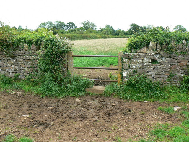
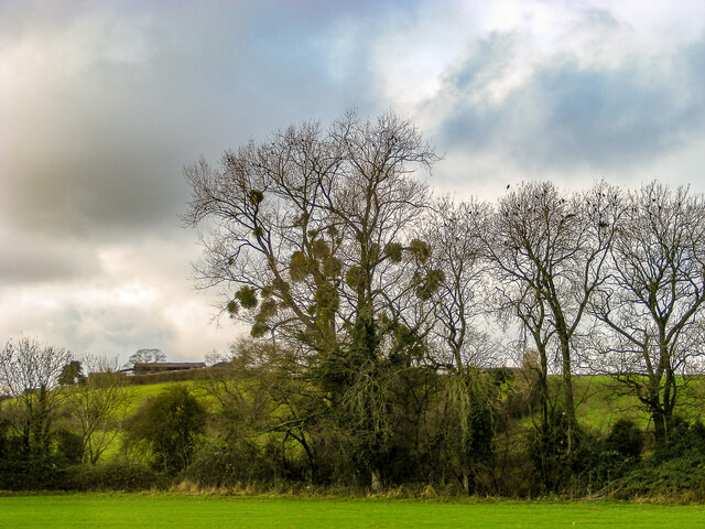
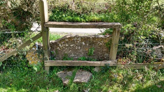
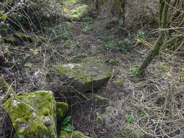
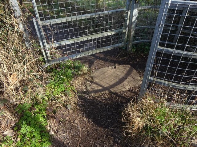
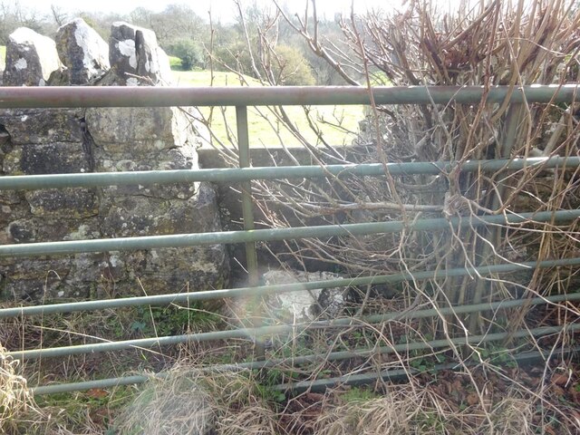
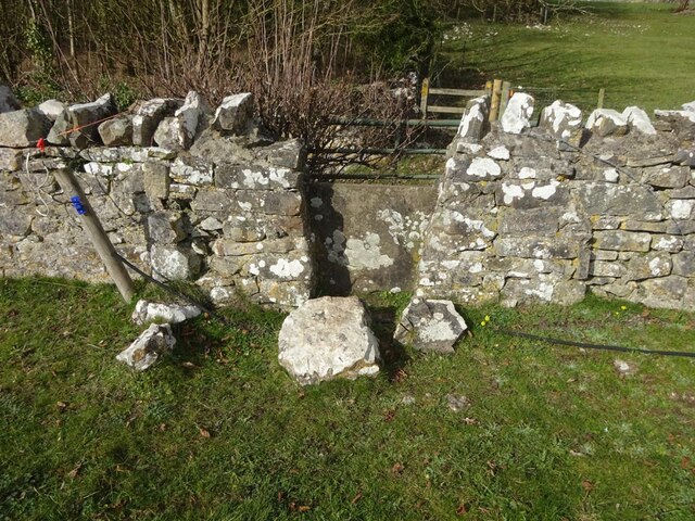
Wick's Hill Images

Images are sourced within 2km of 51.617855/-2.4443054 or Grid Reference ST6991. Thanks to Geograph Open Source API. All images are credited.

Entrance drive to Tortworth Court Hotel
Welcome to CROMHALL -  Please drive carefully The 50mph speed limit on the B4058 Bristol Road in South Gloucestershire here drops to 30mph.
Welcome to CROMHALL - Please drive carefully
The 50mph speed limit on the B4058 Bristol Road in South Gloucestershire here drops to 30mph.
Footpath towards Heath End The footpath stretches from the viewpoint towards the housing in the background. Although signposted, the path is hard to discern on the ground.
Footpath towards Heath End
The footpath stretches from the viewpoint towards the housing in the background. Although signposted, the path is hard to discern on the ground.
Stile and footpath near Heath End The stile isn't particularly user-friendly by comparison with other designs to be seen. The rather ill-defined footpath carries on towards the hedge in the distance.
Stile and footpath near Heath End
The stile isn't particularly user-friendly by comparison with other designs to be seen. The rather ill-defined footpath carries on towards the hedge in the distance.
A mistletoe infestation A phenomenon I had not seen before this journey along the M5, where a seemingly localised colony of mistletoe made itself known on the trees of Gloucestershire and Worcestershire. This tree is located near Whitfield, Thornbury.
A mistletoe infestation
A phenomenon I had not seen before this journey along the M5, where a seemingly localised colony of mistletoe made itself known on the trees of Gloucestershire and Worcestershire. This tree is located near Whitfield, Thornbury.
Stone Stile, Cromhall On Gloucestershire footpath OCR/7 looking towards Spring Lane. The view from the road is <a href="https://www.geograph.org.uk/photo/7220053">ST6890 : Stone Stile, Cromhall</a>.
Stone Stile, Cromhall
On Gloucestershire footpath OCR/7 looking towards Spring Lane. The view from the road is ST6890 : Stone Stile, Cromhall.
Stone Stile, Cromhall On Gloucestershire footpath OCR/7 looking from Spring Lane. The view to the road is <a href="https://www.geograph.org.uk/photo/7220050">ST6890 : Stone Stile, Cromhall</a>.
Stone Stile, Cromhall
On Gloucestershire footpath OCR/7 looking from Spring Lane. The view to the road is ST6890 : Stone Stile, Cromhall.
Tortworth Court Hotel
Tortworth Court Hotel - framed
Stone Stiles, Cromhall On Gloucestershire footpath OCR/36 just as it exits the trees. Part of Abbots-side Court Farm. This view is looking SE out from the wood, the view back is <a href="https://www.geograph.org.uk/photo/7412321">ST6890 : Stone Stiles, Cromhall</a>.
Stone Stiles, Cromhall
On Gloucestershire footpath OCR/36 just as it exits the trees. Part of Abbots-side Court Farm. This view is looking SE out from the wood, the view back is ST6890 : Stone Stiles, Cromhall.
Stone Stiles, Cromhall On Gloucestershire footpath OCR/36 just as it exits the trees. Part of Abbots-side Court Farm. This view is looking SE into the wood, the view back is <a href="https://www.geograph.org.uk/photo/7412319">ST6890 : Stone Stiles, Cromhall</a>.
Stone Stiles, Cromhall
On Gloucestershire footpath OCR/36 just as it exits the trees. Part of Abbots-side Court Farm. This view is looking SE into the wood, the view back is ST6890 : Stone Stiles, Cromhall.
Stone Stiles, Cromhall A "Fallen Idle" on Gloucestershire footpath OCR/5 looking North into fields from Spring Lane.
Stone Stiles, Cromhall
A "Fallen Idle" on Gloucestershire footpath OCR/5 looking North into fields from Spring Lane.
Stone Stiles, Cromhall On Gloucestershire footpath OCR/4 looking from Gambril Hill. The view looking to the road is <a href="https://www.geograph.org.uk/photo/7412378">ST6890 : Stone Stiles, Cromhall</a>.
Stone Stiles, Cromhall
On Gloucestershire footpath OCR/4 looking from Gambril Hill. The view looking to the road is ST6890 : Stone Stiles, Cromhall.
Stone Stiles, Cromhall On Gloucestershire footpath OCR/4 looking to Gambril Hill. The view looking from the road is <a href="https://www.geograph.org.uk/photo/7412376">ST6890 : Stone Stiles, Cromhall</a>.
Stone Stiles, Cromhall
On Gloucestershire footpath OCR/4 looking to Gambril Hill. The view looking from the road is ST6890 : Stone Stiles, Cromhall.
Stone Stiles, Cromhall On Gloucestershire footpath OCR/7 looking to the South side of Spring Lane. The view from the road is <a href="https://www.geograph.org.uk/photo/7412393">ST6990 : Stone Stiles, Cromhall</a>.
Stone Stiles, Cromhall
On Gloucestershire footpath OCR/7 looking to the South side of Spring Lane. The view from the road is ST6990 : Stone Stiles, Cromhall.
Stone Stiles, Cromhall On Gloucestershire footpath OCR/7 looking from the South side of Spring Lane. The view towards the road is <a href="https://www.geograph.org.uk/photo/7412391">ST6990 : Stone Stiles, Cromhall</a>.
Stone Stiles, Cromhall
On Gloucestershire footpath OCR/7 looking from the South side of Spring Lane. The view towards the road is ST6990 : Stone Stiles, Cromhall.
Stone Stiles, Cromhall On Gloucestershire footpath OCR/7 near the church, looking SW. The view NE is <a href="https://www.geograph.org.uk/photo/7412409">ST6990 : Stone Stiles, Cromhall</a>.
Stone Stiles, Cromhall
On Gloucestershire footpath OCR/7 near the church, looking SW. The view NE is ST6990 : Stone Stiles, Cromhall.
Stone Stiles, Cromhall On Gloucestershire footpath OCR/7 near the church, looking NE. The view SW is <a href="https://www.geograph.org.uk/photo/7412407">ST6990 : Stone Stiles, Cromhall</a>.
Stone Stiles, Cromhall
On Gloucestershire footpath OCR/7 near the church, looking NE. The view SW is ST6990 : Stone Stiles, Cromhall.
Show me another place!

Wick's Hill is located at Grid Ref: ST6991 (Lat: 51.617855, Lng: -2.4443054)

Unitary Authority: South Gloucestershire

Police Authority: Avon and Somerset

What 3 Words

///cubic.vase.spiking. Near Falfield, Gloucestershire

Related Wikis

Bibstone

Bibstone is a village in Gloucestershire, England. == External links == Media related to Bibstone at Wikimedia Commons

Cromhall

Cromhall is a village in South Gloucestershire, England. It is located between Bagstone and Charfield on the B4058, and also borders Leyhill. The parish...

Slickstones Quarry, Cromhall

Slickstones Quarry, Cromhall (grid reference ST704916) is a 2.7 hectare geological Site of Special Scientific Interest near the village of Cromhall, South...

HM Prison Leyhill

HM Prison Leyhill is a Category D men's prison located in the parish of Tortworth in Gloucestershire, England. His Majesty's Prison Service operates Leyhill...
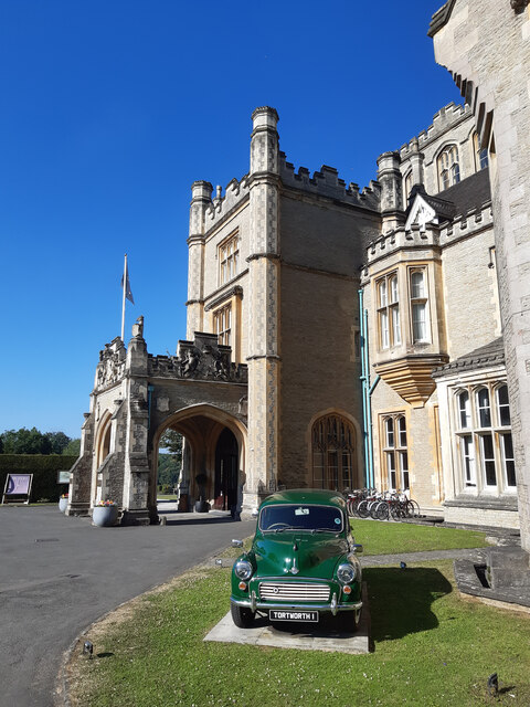
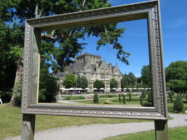
Tortworth Court

Tortworth Court is a Victorian mansion in Tortworth near Thornbury, South Gloucestershire. England. It was built in Tudor style for the 2nd Earl of Ducie...

Tortworth

Tortworth is a small village and civil parish, near Thornbury in Gloucestershire, England. It has a population of 147 as of 2011. It lies on the B4509...

Whitfield, Gloucestershire

Whitfield is a hamlet in South Gloucestershire, England. == Location == It is on the A38 near Falfield. Located just beyond the B4061 junction, the rural...

Brinkmarsh Quarry

Brinkmarsh Quarry (grid reference ST674913) is a 0.5 hectare geological Site of Special Scientific Interest near the town of Thornbury, South Gloucestershire...

Nearby Amenities

Located within 500m of 51.617855,-2.4443054
Barrier: stile
Foot: yes
Lat/Long: 51.6136516/-2.4449648
Barrier: stile
Lat/Long: 51.6177321/-2.449564
Barrier: stile
Lat/Long: 51.6158242/-2.4448578
Barrier: stile
Lat/Long: 51.6159226/-2.4465775
Barrier: stile
Lat/Long: 51.6164816/-2.4468708
Barrier: stile
Lat/Long: 51.6164367/-2.4478551
Butchers Hill
Alt Name: Wicks' Hill
Natural: peak
Note: OS calls this Wicks Hill, but apparently that's the name of the field, not the hill.
Lat/Long: 51.6172468/-2.4438798
Bus Stop
Wotton Road
Naptan AtcoCode: 0170SGB20791
Naptan Bearing: N
Naptan CommonName: Wotton Road
Naptan NaptanCode: sglmgat
Naptan Street: Bristol Road
Naptan Verified: yes
Shelter: yes
Source: naptan_import;survey
Lat/Long: 51.6144361/-2.439718
Barrier: stile
Foot: yes
Lat/Long: 51.613583/-2.4452033
Fixme: this junction & fence line is wrong - need to resurvey
Lat/Long: 51.614579/-2.4424066
Barrier: kissing_gate
Lat/Long: 51.6144312/-2.4417379
The Conegres
Note: field called The Coneygres, Fish Pond Coneygre
Lat/Long: 51.6140387/-2.4447319
Ankers Well
Lat/Long: 51.6207599/-2.4447727
The Vineyard
Lat/Long: 51.6211063/-2.445234
Wick's Hill Plantation
Natural: wood
Wood: deciduous
Lat/Long: 51.6188948/-2.4463606
Fixme: incomplete
Lat/Long: 51.6137728/-2.4455579
Ref: 4
Telephone: pole
Lat/Long: 51.61379/-2.4450685
Telephone: pole
Lat/Long: 51.6143171/-2.4403854
Ref: DP70
Telephone: pole
Lat/Long: 51.6150747/-2.4389619
Ref: DP71
Telephone: pole
Lat/Long: 51.6153707/-2.4385494
Power: pole
Lat/Long: 51.6153826/-2.4385478
Ref: 1
Telephone: pole
Lat/Long: 51.6155852/-2.4381624
Street Lamp
Power: pole
Telephone: pole
Lat/Long: 51.6178825/-2.437616
Street Lamp
Power: pole
Telephone: pole
Lat/Long: 51.6183172/-2.4376111
Power: pole
Telephone: pole
Lat/Long: 51.6188181/-2.437688
Fixme: incomplete
Lat/Long: 51.6202632/-2.4389778
Telephone: pole
Lat/Long: 51.6203916/-2.438719
Telephone: pole
Lat/Long: 51.6140296/-2.4480088
Power: pole
Lat/Long: 51.6140853/-2.4479022
Power: pole
Lat/Long: 51.6152445/-2.450019
Ref: 5
Telephone: pole
Lat/Long: 51.6158646/-2.4504118
Power: pole
Lat/Long: 51.6160729/-2.4495859
Telephone: pole
Lat/Long: 51.6174376/-2.4371342
Barrier: kissing_gate
Lat/Long: 51.616071/-2.4411252
Ref: 6
Telephone: pole
Lat/Long: 51.6164086/-2.4505499
Give Way
Direction: backward
Lat/Long: 51.6145749/-2.4396051
Give Way
Direction: backward
Lat/Long: 51.6154415/-2.4385097
Give Way
Direction: backward
Lat/Long: 51.6156288/-2.4383353
Give Way
Direction: forward
Lat/Long: 51.6137372/-2.4449767
Anchorite Hill
Natural: peak
Note: Supposed site of Hermit's cell in local legend. Referred to in Atkins and Rudder's Histories of Gloucestershire. Relates to Ankers Well.
Lat/Long: 51.6213554/-2.4431465
Power: pole
Telephone: pole
Lat/Long: 51.6202406/-2.4386162
Power: pole
Telephone: pole
Lat/Long: 51.619786/-2.4383976
The data included in this document is from www.openstreetmap.org. The data is made available under ODbL.

Have you been to Wick's Hill?

Leave your review of Wick's Hill below (or comments, questions and feedback).