Harris's Wood

Wood, Forest in Gloucestershire

England

Harris's Wood

Tortworth lodges
Tortworth lodges Credit: don cload

Harris's Wood is a picturesque woodland located in the county of Gloucestershire, England. Situated within the larger Forest of Dean, this woodland boasts an abundance of natural beauty and diverse wildlife, making it a popular destination for nature enthusiasts and hikers alike.

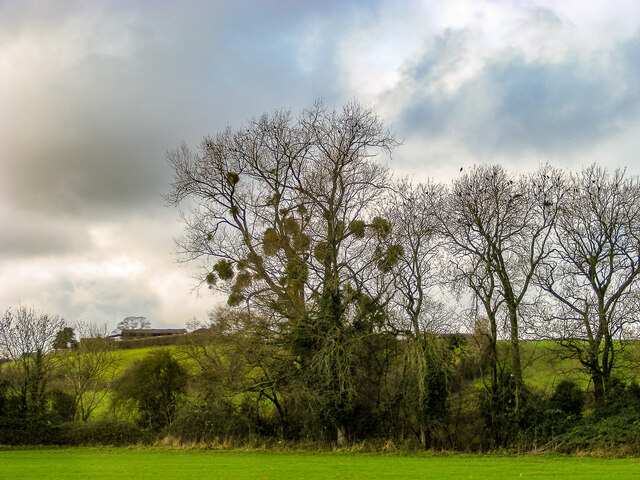
Covering an area of approximately 100 hectares, Harris's Wood is primarily composed of ancient oak trees, providing a stunning backdrop of towering canopies and dappled sunlight. The woodland floor is adorned with a carpet of vibrant wildflowers and ferns, adding to the enchanting atmosphere.

Visitors to Harris's Wood can enjoy a variety of walking trails, ranging from leisurely strolls to more challenging hikes. These trails wind through the forest, leading explorers to hidden gems such as serene ponds, babbling brooks, and secluded picnic spots. The woodland is also home to a diverse array of wildlife, including deer, badgers, foxes, and numerous bird species, making it a haven for wildlife enthusiasts and photographers.

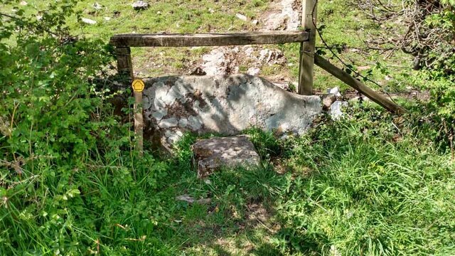
In addition to its natural beauty, Harris's Wood also holds historical significance. It is believed to have been used as a timber resource during medieval times, providing material for construction and fuel. Today, remnants of this historical past can still be seen in the form of old stone walls and the occasional abandoned sawpit.

Overall, Harris's Wood in Gloucestershire offers a tranquil and captivating experience for those seeking solace in nature, with its ancient trees, rich biodiversity, and serene trails providing a respite from the hustle and bustle of modern life.

If you have any feedback on the listing, please let us know in the comments section below.

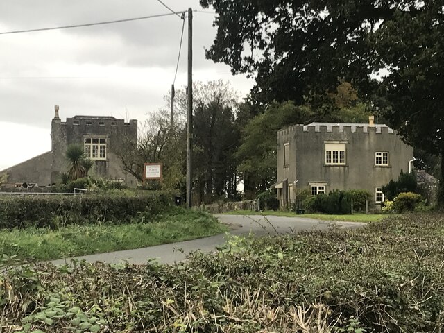
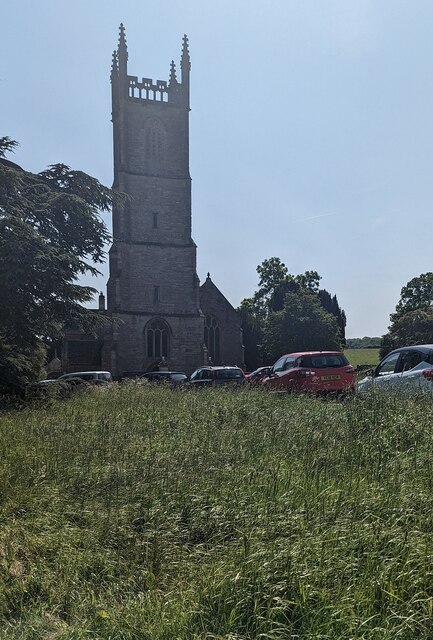
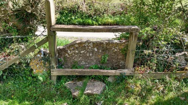
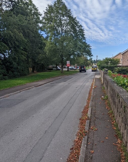
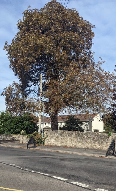
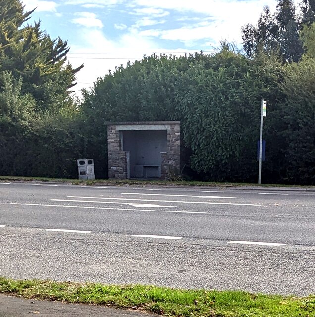
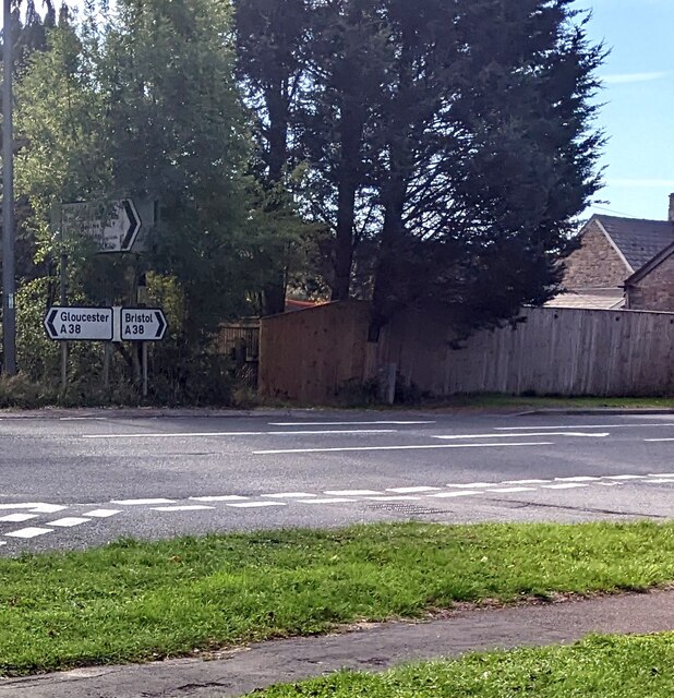
Harris's Wood Images

Images are sourced within 2km of 51.623726/-2.444565 or Grid Reference ST6991. Thanks to Geograph Open Source API. All images are credited.

Tortworth lodges
Tortworth lodges
Entrance drive to Tortworth Court Hotel
Church tower, Tortworth, South Gloucestershire On the west side of Grade II (Star) Listed St Leonard's Church
in the Church of England Diocese of Gloucester.
Church tower, Tortworth, South Gloucestershire
On the west side of Grade II (Star) Listed St Leonard's Church in the Church of England Diocese of Gloucester.
Welcome to CROMHALL -  Please drive carefully The 50mph speed limit on the B4058 Bristol Road in South Gloucestershire here drops to 30mph.
Welcome to CROMHALL - Please drive carefully
The 50mph speed limit on the B4058 Bristol Road in South Gloucestershire here drops to 30mph.
A mistletoe infestation A phenomenon I had not seen before this journey along the M5, where a seemingly localised colony of mistletoe made itself known on the trees of Gloucestershire and Worcestershire. This tree is located near Whitfield, Thornbury.
A mistletoe infestation
A phenomenon I had not seen before this journey along the M5, where a seemingly localised colony of mistletoe made itself known on the trees of Gloucestershire and Worcestershire. This tree is located near Whitfield, Thornbury.
Stone Stile, Cromhall On Gloucestershire footpath OCR/7 looking towards Spring Lane. The view from the road is <a href="https://www.geograph.org.uk/photo/7220053">ST6890 : Stone Stile, Cromhall</a>.
Stone Stile, Cromhall
On Gloucestershire footpath OCR/7 looking towards Spring Lane. The view from the road is ST6890 : Stone Stile, Cromhall.
Stone Stile, Cromhall On Gloucestershire footpath OCR/7 looking from Spring Lane. The view to the road is <a href="https://www.geograph.org.uk/photo/7220050">ST6890 : Stone Stile, Cromhall</a>.
Stone Stile, Cromhall
On Gloucestershire footpath OCR/7 looking from Spring Lane. The view to the road is ST6890 : Stone Stile, Cromhall.
Tortworth Court Hotel
Tortworth Court Hotel - framed
Warning sign - playground, Falfield Alongside SLOW painted on Sundayshill Lane.
Warning sign - playground, Falfield
Alongside SLOW painted on Sundayshill Lane.
Church Avenue, Falfield Viewed from the corner of Sundayshill Lane. A sign in the background shows "Residential Area" and a 15 mph speed limit.
Church Avenue, Falfield
Viewed from the corner of Sundayshill Lane. A sign in the background shows "Residential Area" and a 15 mph speed limit.
Early autumn colours, Sundayshill Lane, Falfield A horse chestnut tree viewed on September 25th 2022.
Early autumn colours, Sundayshill Lane, Falfield
A horse chestnut tree viewed on September 25th 2022.
Bus stop and shelter, Falfield Alongside the A38, the main road through Falfield in South Gloucestershire.
Bus stop and shelter, Falfield
Alongside the A38, the main road through Falfield in South Gloucestershire.
A38 direction signs, Falfield, South Gloucestershire Left for Gloucester, right for Bristol.
A38 direction signs, Falfield, South Gloucestershire
Left for Gloucester, right for Bristol.
Queen Elizabeth II Silver Jubilee Bench, Falfield The bench near the corner of the A38 and Sundayshill Lane is dated 1977.
Queen Elizabeth II Silver Jubilee Bench, Falfield
The bench near the corner of the A38 and Sundayshill Lane is dated 1977.
Church and churchyard, Falfield, South Gloucestershire Looking towards the rear of Grade II Listed St George's Church 
in the Church of England Diocese of Gloucester.
Church and churchyard, Falfield, South Gloucestershire
Looking towards the rear of Grade II Listed St George's Church in the Church of England Diocese of Gloucester.
Churchyard crosses, Falfield, South Gloucestershire In the NE corner of St George's churchyard in the Church of England Diocese of Gloucester.
Churchyard crosses, Falfield, South Gloucestershire
In the NE corner of St George's churchyard in the Church of England Diocese of Gloucester.
Large car park, Falfield, South Gloucestershire Looking across Sundayshill Lane towards the Huntsman Inn. The board on the right states that the car park is for Huntsman Inn patrons only.
Large car park, Falfield, South Gloucestershire
Looking across Sundayshill Lane towards the Huntsman Inn. The board on the right states that the car park is for Huntsman Inn patrons only.
Show me another place!

Harris's Wood is located at Grid Ref: ST6991 (Lat: 51.623726, Lng: -2.444565)

Unitary Authority: South Gloucestershire

Police Authority: Avon and Somerset

What 3 Words

///torso.finest.blurred. Near Falfield, Gloucestershire

Related Wikis

HM Prison Leyhill

HM Prison Leyhill is a Category D men's prison located in the parish of Tortworth in Gloucestershire, England. His Majesty's Prison Service operates Leyhill...
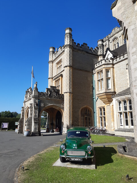
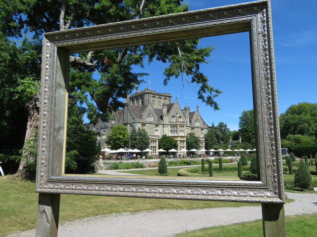
Tortworth Court

Tortworth Court is a Victorian mansion in Tortworth near Thornbury, South Gloucestershire. England. It was built in Tudor style for the 2nd Earl of Ducie...

Bibstone

Bibstone is a village in Gloucestershire, England. == External links == Media related to Bibstone at Wikimedia Commons

Slickstones Quarry, Cromhall

Slickstones Quarry, Cromhall (grid reference ST704916) is a 2.7 hectare geological Site of Special Scientific Interest near the village of Cromhall, South...

Cromhall

Cromhall is a village in South Gloucestershire, England. It is located between Bagstone and Charfield on the B4058, and also borders Leyhill. The parish...

Tortworth

Tortworth is a small village and civil parish, near Thornbury in Gloucestershire, England. It has a population of 147 as of 2011. It lies on the B4509...

Falfield

Falfield is a village, located near the northern border of the South Gloucestershire district of Gloucestershire, England on the southern edge of the Berkeley...

Whitfield, Gloucestershire

Whitfield is a hamlet in South Gloucestershire, England. == Location == It is on the A38 near Falfield. Located just beyond the B4061 junction, the rural...

Nearby Amenities

Located within 500m of 51.623726,-2.444565
Removed Amenity: telephone
Lat/Long: 51.6235395/-2.4383728
Post Box
Collection Times: Mo-Fr 16:30; Sa 11:00
Collection Times Checked: 2015-08-18
Operator: Royal Mail
Post Box Type: wall
Ref: GL12 371
Royal Cypher: VR
Royal Cypher Wikidata: Q33102356
Lat/Long: 51.623485/-2.4383882
Leyhill
Is In: South Gloucestershire, England, UK
Place: hamlet
Postal Code: GL12 8
Lat/Long: 51.6249246/-2.4390603
Bus Stop
Woodland Road
Bus: yes
Naptan AtcoCode: 0170SGB20762
Naptan Bearing: S
Naptan CommonName: Woodland Road
Naptan Crossing: Woodland Road
Naptan NaptanCode: sglmgjp
Naptan Street: N/A
Naptan Verified: yes
Public Transport: platform
Shelter: yes
Source: naptan_import;survey
Lat/Long: 51.6232911/-2.4383185
Bus Stop
Woodland Road
Naptan AtcoCode: 0170SGB20763
Naptan Bearing: N
Naptan CommonName: Woodland Road
Naptan Crossing: Woodland Road
Naptan NaptanCode: sglmgjg
Naptan Street: N/A
Naptan Verified: yes
Shelter: yes
Source: naptan_import;survey
Lat/Long: 51.6236138/-2.4383365
Ankers Well
Lat/Long: 51.6207599/-2.4447727
Bloody Acre Hill Fort
Archaeological Site: fortification
Historic: archaeological_site
Lat/Long: 51.6215393/-2.4499118
The Vineyard
Lat/Long: 51.6211063/-2.445234
Telephone: pole
Lat/Long: 51.6212355/-2.4387345
Ref: 5
Telephone: pole
Lat/Long: 51.6215907/-2.4388082
Ref: 4
Telephone: pole
Lat/Long: 51.6220467/-2.4387445
Ref: 3
Telephone: pole
Lat/Long: 51.622582/-2.4386297
Ref: 2
Telephone: pole
Lat/Long: 51.6230332/-2.4385
Ref: 1
Telephone: pole
Lat/Long: 51.6235799/-2.4383618
Ref: DP147
Telephone: pole
Lat/Long: 51.6236702/-2.4381964
Ref: DP79
Telephone: pole
Lat/Long: 51.6223746/-2.4392472
Ref: 1
Telephone: pole
Lat/Long: 51.6228829/-2.4392312
Ref: DP76
Telephone: pole
Lat/Long: 51.623219/-2.4414714
Ref: DP80
Telephone: pole
Lat/Long: 51.6232632/-2.4399531
Ref: DP75
Telephone: pole
Lat/Long: 51.6233424/-2.4409482
Anchorite Hill
Natural: peak
Note: Supposed site of Hermit's cell in local legend. Referred to in Atkins and Rudder's Histories of Gloucestershire. Relates to Ankers Well.
Lat/Long: 51.6213554/-2.4431465
Generator Method: photovoltaic
Generator Output Electricity: yes
Generator Source: solar
Generator Type: solar_photovoltaic_panel
Location: roof
Power: generator
Lat/Long: 51.6221911/-2.4395657
Generator Method: photovoltaic
Generator Output Electricity: yes
Generator Source: solar
Generator Type: solar_photovoltaic_panel
Location: roof
Power: generator
Lat/Long: 51.6229517/-2.4395107
Generator Method: photovoltaic
Generator Output Electricity: yes
Generator Source: solar
Generator Type: solar_photovoltaic_panel
Location: roof
Power: generator
Lat/Long: 51.623124/-2.4410999
Man Made: antenna
Lat/Long: 51.623885/-2.4378222
Fixme: Incomplete
Power: pole
Telephone: pole
Lat/Long: 51.6234462/-2.4380583
Power: pole
Telephone: pole
Lat/Long: 51.6226869/-2.4382071
Power: pole
Telephone: pole
Lat/Long: 51.6218718/-2.4383667
The data included in this document is from www.openstreetmap.org. The data is made available under ODbL.

Have you been to Harris's Wood?

Leave your review of Harris's Wood below (or comments, questions and feedback).