Bloody Acre

Wood, Forest in Gloucestershire

England

Bloody Acre

Tortworth lodges
Tortworth lodges Credit: don cload

Bloody Acre is a picturesque woodland located in the county of Gloucestershire, England. Covering an area of approximately 50 acres, it is nestled amidst the breathtaking landscape of the Cotswolds. The forest is renowned for its dense and ancient trees, primarily consisting of oak, beech, and ash, which create a sense of tranquility and seclusion for visitors.

The name "Bloody Acre" has intrigued locals for centuries, with various legends and folklore surrounding its origin. One popular theory suggests that the name stems from a historical battle that took place in the area, although no concrete evidence has been found to support this claim. Another theory is that the name is derived from the vibrant red color of the forest floor during autumn, resembling a bloody scene.

The woodland is home to a diverse range of wildlife, including several species of birds, small mammals, and insects. It provides a natural habitat for creatures such as deer, foxes, and badgers, making it a popular destination for nature enthusiasts and photographers.

Bloody Acre offers numerous walking trails and paths for visitors to explore, allowing them to immerse themselves in the enchanting beauty of the forest. The peaceful atmosphere and breathtaking scenery make it an ideal spot for hiking, picnicking, and even meditation.

In recent years, efforts have been made to preserve and protect Bloody Acre, ensuring the conservation of its natural wonders for future generations. The forest's unique charm, combined with its rich history and abundant wildlife, continues to captivate and inspire all those who venture into its leafy embrace.

If you have any feedback on the listing, please let us know in the comments section below.
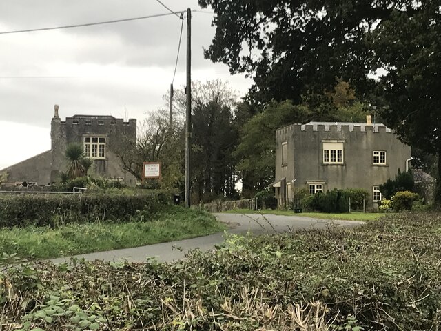
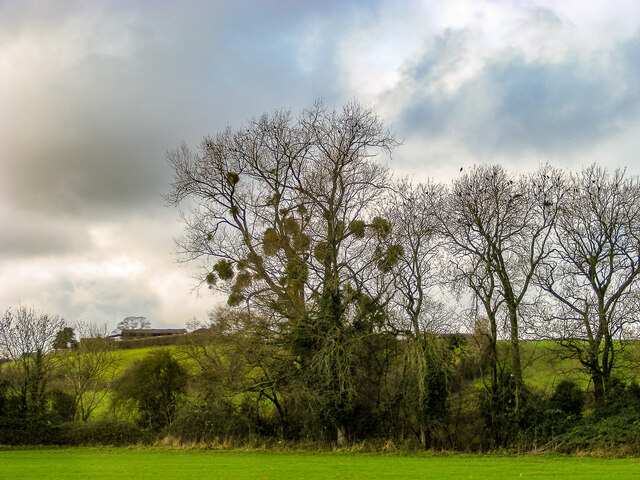
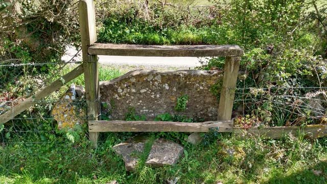
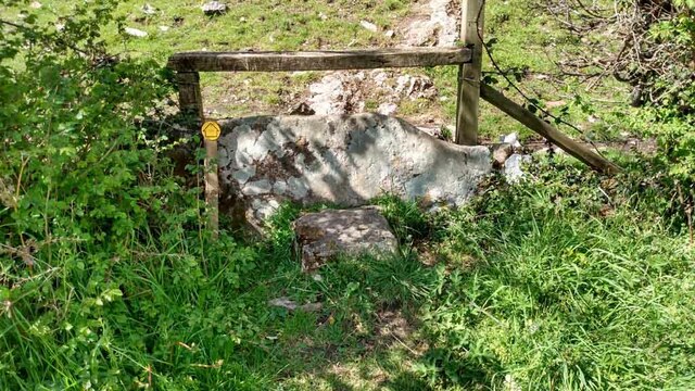
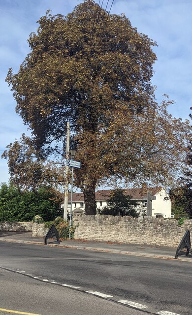
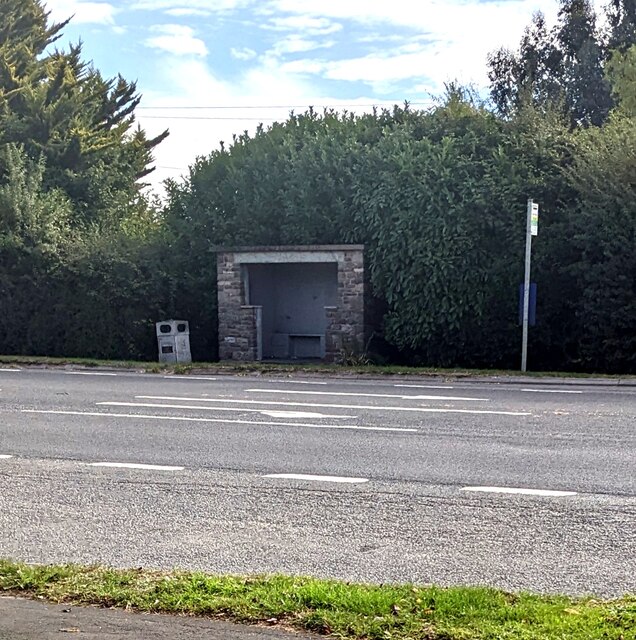
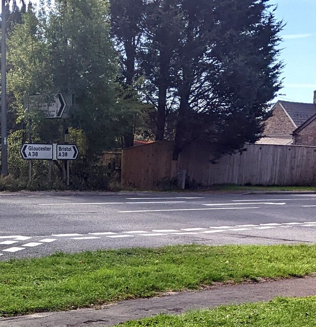
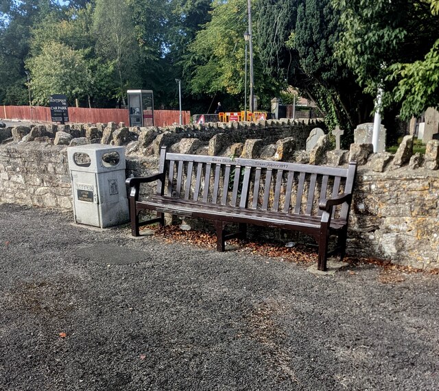
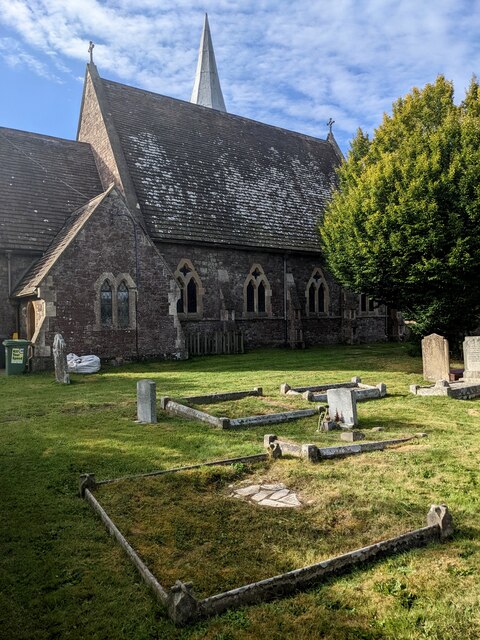
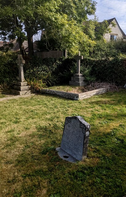
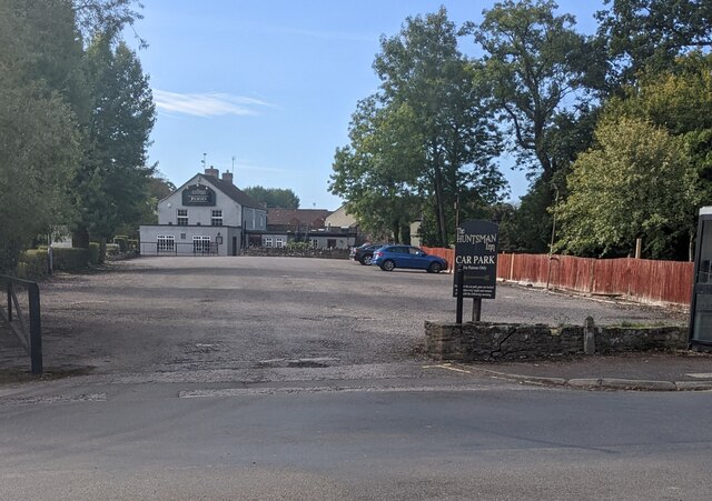
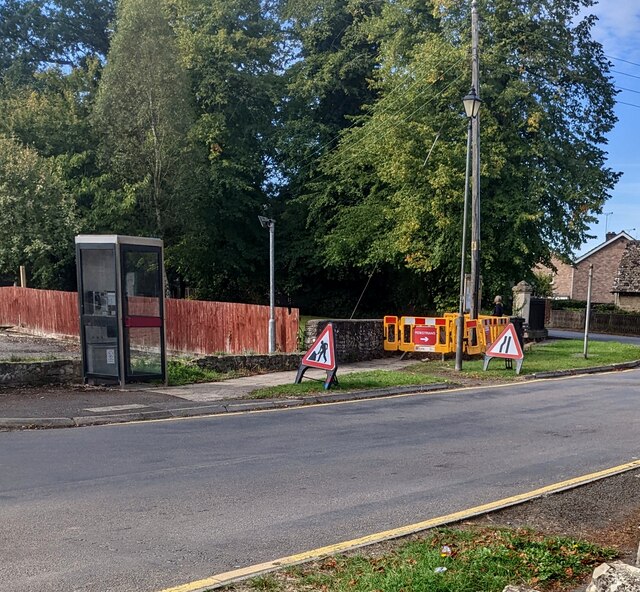
Bloody Acre Images

Images are sourced within 2km of 51.62186/-2.4481435 or Grid Reference ST6991. Thanks to Geograph Open Source API. All images are credited.

Tortworth lodges
Tortworth lodges
Entrance drive to Tortworth Court Hotel
Welcome to CROMHALL -  Please drive carefully The 50mph speed limit on the B4058 Bristol Road in South Gloucestershire here drops to 30mph.
Welcome to CROMHALL - Please drive carefully
The 50mph speed limit on the B4058 Bristol Road in South Gloucestershire here drops to 30mph.
A mistletoe infestation A phenomenon I had not seen before this journey along the M5, where a seemingly localised colony of mistletoe made itself known on the trees of Gloucestershire and Worcestershire. This tree is located near Whitfield, Thornbury.
A mistletoe infestation
A phenomenon I had not seen before this journey along the M5, where a seemingly localised colony of mistletoe made itself known on the trees of Gloucestershire and Worcestershire. This tree is located near Whitfield, Thornbury.
Stone Stile, Cromhall On Gloucestershire footpath OCR/7 looking towards Spring Lane. The view from the road is <a href="https://www.geograph.org.uk/photo/7220053">ST6890 : Stone Stile, Cromhall</a>.
Stone Stile, Cromhall
On Gloucestershire footpath OCR/7 looking towards Spring Lane. The view from the road is ST6890 : Stone Stile, Cromhall.
Stone Stile, Cromhall On Gloucestershire footpath OCR/7 looking from Spring Lane. The view to the road is <a href="https://www.geograph.org.uk/photo/7220050">ST6890 : Stone Stile, Cromhall</a>.
Stone Stile, Cromhall
On Gloucestershire footpath OCR/7 looking from Spring Lane. The view to the road is ST6890 : Stone Stile, Cromhall.
Tortworth Court Hotel
Tortworth Court Hotel - framed
Warning sign - playground, Falfield Alongside SLOW painted on Sundayshill Lane.
Warning sign - playground, Falfield
Alongside SLOW painted on Sundayshill Lane.
Church Avenue, Falfield Viewed from the corner of Sundayshill Lane. A sign in the background shows "Residential Area" and a 15 mph speed limit.
Church Avenue, Falfield
Viewed from the corner of Sundayshill Lane. A sign in the background shows "Residential Area" and a 15 mph speed limit.
Early autumn colours, Sundayshill Lane, Falfield A horse chestnut tree viewed on September 25th 2022.
Early autumn colours, Sundayshill Lane, Falfield
A horse chestnut tree viewed on September 25th 2022.
Bus stop and shelter, Falfield Alongside the A38, the main road through Falfield in South Gloucestershire.
Bus stop and shelter, Falfield
Alongside the A38, the main road through Falfield in South Gloucestershire.
A38 direction signs, Falfield, South Gloucestershire Left for Gloucester, right for Bristol.
A38 direction signs, Falfield, South Gloucestershire
Left for Gloucester, right for Bristol.
Queen Elizabeth II Silver Jubilee Bench, Falfield The bench near the corner of the A38 and Sundayshill Lane is dated 1977.
Queen Elizabeth II Silver Jubilee Bench, Falfield
The bench near the corner of the A38 and Sundayshill Lane is dated 1977.
Church and churchyard, Falfield, South Gloucestershire Looking towards the rear of Grade II Listed St George's Church 
in the Church of England Diocese of Gloucester.
Church and churchyard, Falfield, South Gloucestershire
Looking towards the rear of Grade II Listed St George's Church in the Church of England Diocese of Gloucester.
Churchyard crosses, Falfield, South Gloucestershire In the NE corner of St George's churchyard in the Church of England Diocese of Gloucester.
Churchyard crosses, Falfield, South Gloucestershire
In the NE corner of St George's churchyard in the Church of England Diocese of Gloucester.
Large car park, Falfield, South Gloucestershire Looking across Sundayshill Lane towards the Huntsman Inn. The board on the right states that the car park is for Huntsman Inn patrons only.
Large car park, Falfield, South Gloucestershire
Looking across Sundayshill Lane towards the Huntsman Inn. The board on the right states that the car park is for Huntsman Inn patrons only.
BT phonebox, Sundayshill Lane, Falfield, South Gloucestershire Located opposite St George's Church.
BT phonebox, Sundayshill Lane, Falfield, South Gloucestershire
Located opposite St George's Church.
Show me another place!

Bloody Acre is located at Grid Ref: ST6991 (Lat: 51.62186, Lng: -2.4481435)

Unitary Authority: South Gloucestershire

Police Authority: Avon and Somerset

What 3 Words

///proposals.crusted.headings. Near Falfield, Gloucestershire

Related Wikis

Bibstone

Bibstone is a village in Gloucestershire, England. == External links == Media related to Bibstone at Wikimedia Commons

HM Prison Leyhill

HM Prison Leyhill is a Category D men's prison located in the parish of Tortworth in Gloucestershire, England. His Majesty's Prison Service operates Leyhill...

Cromhall

Cromhall is a village in South Gloucestershire, England. It is located between Bagstone and Charfield on the B4058, and also borders Leyhill. The parish...
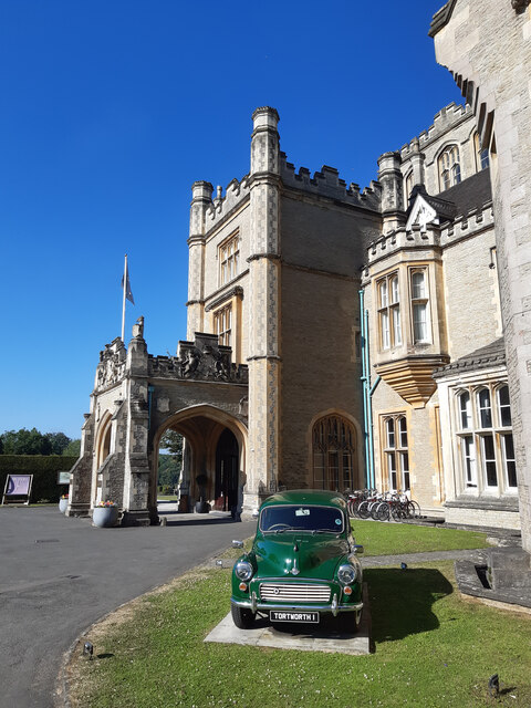
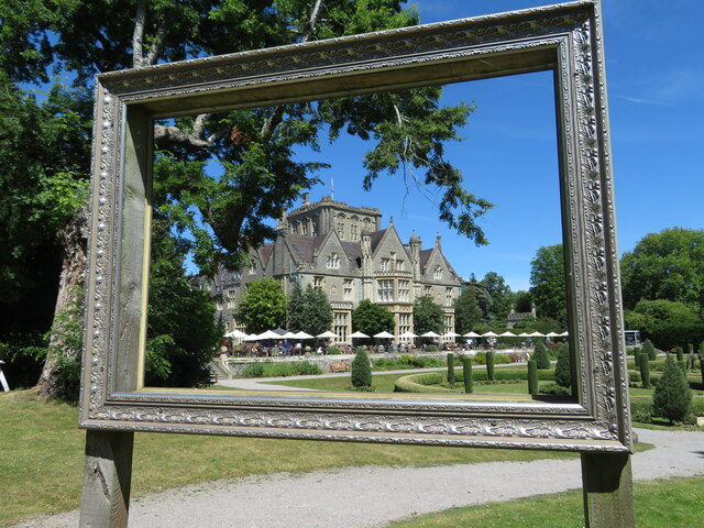
Tortworth Court

Tortworth Court is a Victorian mansion in Tortworth near Thornbury, South Gloucestershire. England. It was built in Tudor style for the 2nd Earl of Ducie...

Slickstones Quarry, Cromhall

Slickstones Quarry, Cromhall (grid reference ST704916) is a 2.7 hectare geological Site of Special Scientific Interest near the village of Cromhall, South...

Whitfield, Gloucestershire

Whitfield is a hamlet in South Gloucestershire, England. == Location == It is on the A38 near Falfield. Located just beyond the B4061 junction, the rural...

Tortworth

Tortworth is a small village and civil parish, near Thornbury in Gloucestershire, England. It has a population of 147 as of 2011. It lies on the B4509...

Brinkmarsh Quarry

Brinkmarsh Quarry (grid reference ST674913) is a 0.5 hectare geological Site of Special Scientific Interest near the town of Thornbury, South Gloucestershire...

Nearby Amenities

Located within 500m of 51.62186,-2.4481435
Barrier: stile
Lat/Long: 51.6177321/-2.449564
Ankers Well
Lat/Long: 51.6207599/-2.4447727
Bloody Acre Hill Fort
Archaeological Site: fortification
Historic: archaeological_site
Lat/Long: 51.6215393/-2.4499118
The Vineyard
Lat/Long: 51.6211063/-2.445234
Wick's Hill Plantation
Natural: wood
Wood: deciduous
Lat/Long: 51.6188948/-2.4463606
Ref: DP76
Telephone: pole
Lat/Long: 51.623219/-2.4414714
Anchorite Hill
Natural: peak
Note: Supposed site of Hermit's cell in local legend. Referred to in Atkins and Rudder's Histories of Gloucestershire. Relates to Ankers Well.
Lat/Long: 51.6213554/-2.4431465
The data included in this document is from www.openstreetmap.org. The data is made available under ODbL.

Have you been to Bloody Acre?

Leave your review of Bloody Acre below (or comments, questions and feedback).